Cave Spring
Tonopah Field Office BLM
(map link)
Corral, it says. Cave Spring, it says. Ruins, it says. There's a couple prospects and a building marked too. Okay map, I thought, we can stop there and see what all the fuss is about. That's quite a few little marks.

I did find myself deciding that the way up Rhyolite Ridge was up the valley north of the road and pick one of the later minor ridges to the top. The only trouble is the Rhyolite Ridge Lithium-Boron Project. (Sponsors of Radio Goldfield, oldies western and a whole lot more. Strongly Appalachian sounding when I first stumbled on it, playing "Christmas songs for folks who don't like Christmas songs" later, and highly recommended.) There's a bit of activity south of the road including "no unauthorized entry" signs and seemed like even more activity north of the road. No exclusive signs, but still worrying. So I discarded actually doing my plan for the Rhyolite Ridge as quickly as I made it.

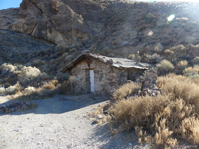
There's a short road that heads south. I decided to follow this to wherever it goes. There's something like a shallow cave near the end of it.
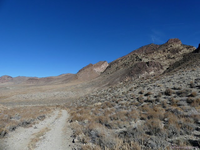
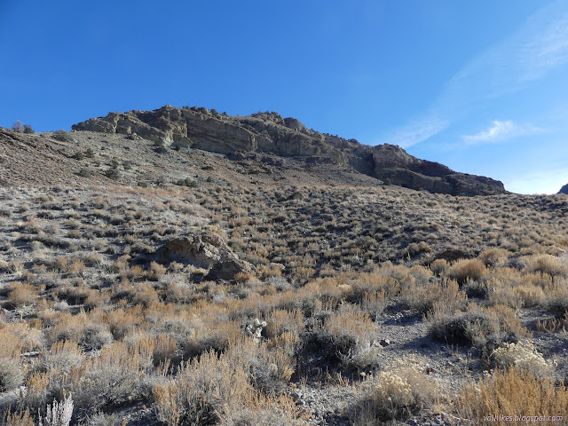

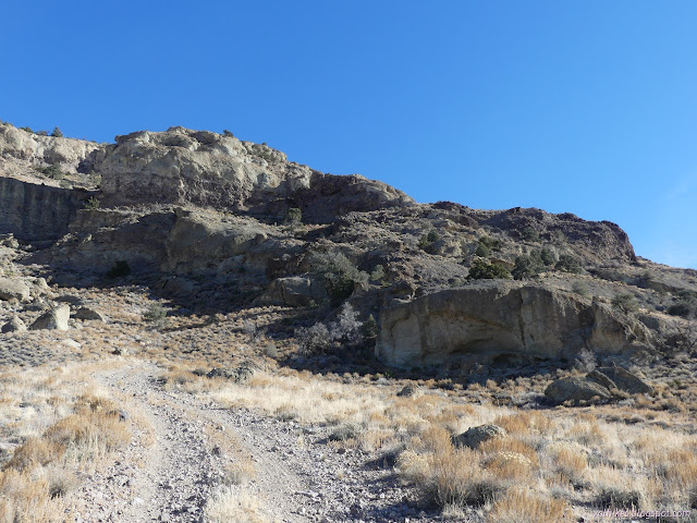
I made my way from the end of the road over to the overhung ledge. The road was getting awkward in its loose, rocky steepness. It looks like many before me have done the same.


I looked a bit and headed back.

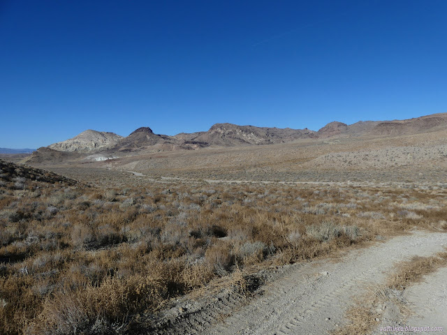
I got back and poked my way up a path behind the cabin to find the spring. Or a spring. It was capped and plumbed to a faucet below. Then I wandered along the main road where it enters a narrow pass. Here are the caves, looking carved by seeping water. Between rock layers is a very common erosion point and the layers some caves devide are very apparent.

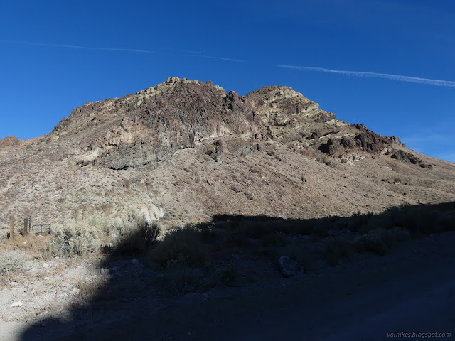
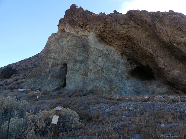


The signs on the fence indicate the area is an archeological area and are very clear I shouldn't enter, so I didn't. There's more holes on up the hill, which I also left alone.
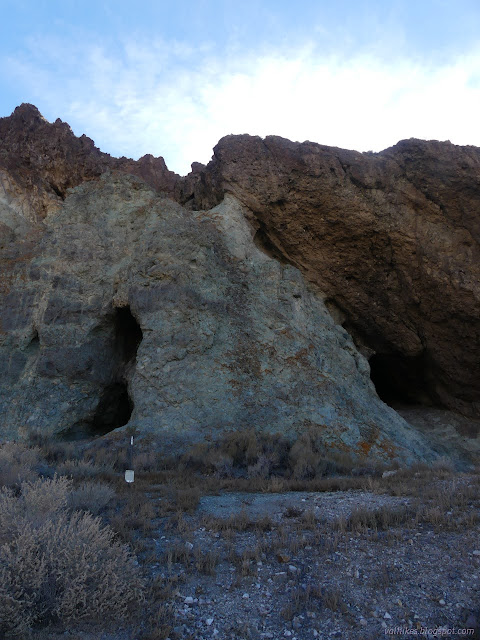
So that is a look around Cave Spring. From there, I headed off to find camp for the next few nights. Traffic wasn't so bad on this side of the project as the other. There was only one traveler twice a day.
*photo album*
©2023,2024 Valerie Norton
Written 6 Feb 2024
Liked this? Interesting? Click the three bars at the top left for the menu to read more or subscribe!


Comments