Silver Peak and Red Mountain
Tonopah Field Office BLM
(map link)
My plan for the day was an out and back to Silver Peak, a little over 3.5 miles distant for the crow. For myself as a land bound creature, it would involve some winding and negotiation of slopes. There are numerous ascents on Peakbagger, mostly involving long 4x4 drives to or near a radio tower south of the peak and a half mile walk up to the top. Some decide it's a bit rough or snowy and they might as well get a whole mile walk in. One sans-4x4 headed up a road a bit to the west that gets up pretty high. I decided on one a little less to the west that doesn't go so far, leaving more than half of the route cross country. But how hard could that cross country be?


The road climbs a bit higher than I needed it to, but it's gentle. It gets its traveling done pretty efficiently.

There's a spring and ruins to check out along the way.


It took me a second try to find the ruins, although there may well be more to the map's marking than just this one ruin.

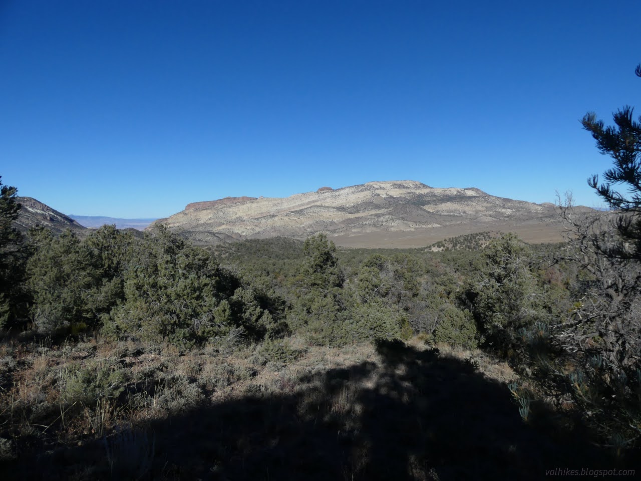
The road is rougher after the named spring and even starts to feel a little like it is struggling to find a space through the trees even though it is marked on the old USGS maps. I passed another spring that showed as a sheet of ice in the shadows. It was provided with a stool to sit upon and watch the ice, if one so wished. I didn't, so I proceeded to a non-descript spot where the road turns east and I would continue south.

The cross country is just walking along the wash area at first. I wanted to cross a couple shallow ones to follow one in particular up. How to know it was the one? Well, the one I chose eventually did work out. The walking was easiest up on the left side.


Things got steeper and the wash more like a canyon. The bottom was sometimes 20 or 30 feet down some steep, difficult terrain while walking on the side continued to be smooth and comfortable, at least until I started coming to the similar little tributaries.


So after a little bit of trouble and a lot of work just chugging upward, I made it to a saddle and the end of any real difficulty in getting to Silver Peak. Also some very fine views.


I started to find something like trails as I continued along, climbing higher, getting even better views.


So I got to the top and the best view of it all!

Well, except that the high point of the Silver Peak Range is actually nearby Piper Peak. I didn't even make it into the Silver Peak Wilderness Study Area that surrounds that high point. It's still a good spot.


I finally let go of my grand spot at the top of Silver Peak and headed back the way I came. Except, do I really want to go back the same way? There's Red Mountain right there. There's practically a ramp of land right to its side. I could certainly go by it. I wouldn't have to do that last 600 foot climb up the steep sides. Although it would be a grand feather in my cap if I did go for it and got that second peak today. But I wouldn't have to. Either way, I would surely be back to where I'd already been by sunset. And so I talked myself into at least taking the different route back.

That stuff that was practically trail going to Silver Peak, it goes this way. It probably gets walked by all sorts, except bears. For some reason, the bears aren't keen to come into the Great Basin.

I got to the high point of vegetated lands beside Red Mountain a little later than I expected. I figured I could still go up. I'd surely get to the end of the road by sunset and back to where I'd been by dark. I wouldn't miss seeing anything, even if I went for the climb.

I put my head down and got to picking my way up the rocks. I stuck to places where they weren't sliding much. Since the rocks darken with age, keeping away from the light ones can be effective for finding good footing. All the steps still need testing. A few spots will let you down.


I arrived at the top and turned north for the high point, which has a benchmark according to the USGS map. I took a little time looking for it in the cold wind but only found the cairn. There should be a station and reference marks a little south of it and I mostly looked north and only a little. It was windy and cold and not conducive to poking around.


It was too cold to stay very long and I'd taken a bit longer to get up anyway. Now I was just hoping to get to the end of the road by dark. Well, I was pretty sure I could.


I'm not sure the rocks were quite as stable for me going down as up. I still mostly kept to ones that weren't moving.


I did in fact make it to the end of the road before dark. There were no recent tracks on it although every other road had recent ATV tracks, including this one where I left it. That worried me. There was a mystery junction, which didn't worry me. Turns out it gets shortly to a track that looks a bit like a pipeline coming from Valealda Spring to Mineral Ridge, so might have been a shortcut down. I stuck to the road. It didn't have tracks on it because the driver didn't notice where the road leaves a wash below. The road was fine for my travel all the way back, even as it got quite dark. I had about 3 miles on it, so that's good. I probably didn't miss that much view in the dark since trees cover much of it.
*photo album*
©2023,2024 Valerie Norton
Written 8 Feb 2024
Liked this? Interesting? Click the three bars at the top left for the menu to read more or subscribe!


Comments