Castle Peak and Norman Benchmark
Tonopah Field Office BLM
(map link)
I had looked out at the colorful mountains and thought "I want to go there" and then gone off to some mountains that turned out to be a bit south of the ones I was looking at. The Silver Peak Range does have plenty of its own color, it is true, but I still wanted some wandering in the Monte Cristo Range. A little bit, anyway. As I poked at my resources, little Castle Peak and an Earthcache became my main targets. I ended up needing a second geocache to find the road I was aiming at for access. According to the page for it, it's the best road to Gilbert. Graders working the sides of the highway had very much ignored it while they scraped 60 feet clear and contoured it toward a nearby culvert. Once properly on the road, only a few places wanted to rub my car's tummy or were uncomfortably soft. It probably would have been fine on a rough wash entry, but I hit the brakes and backed up instead. I'd just seen a nice flat camping area and it was pretty much the closest approach to the Earthcache already. Good enough! Only the very noisiest of trucks could be heard from over 2 miles off on the highway.


I headed out on the road toward Castle Peak first, aiming to be at the Earthcache last, and in between... visit in between stuff. Walking the wash beside the road tended to be nicer. The rocks on the road were loosened up from each other while the ones nearby tended to stay where they were as I walked across them. It was a very gentle uphill on the way to a road I couldn't even see until I was at it.
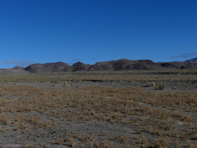

I followed the new road, thinking it was really just people pushing into a tributary wash, but soon enough it showed itself to be built. It's also a rocky mess with a little bit of parking near the junction for those who would rather not risk their vehicle. Once it accessed the Castle Peak Mine, but that is long gone.
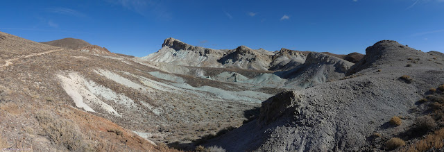
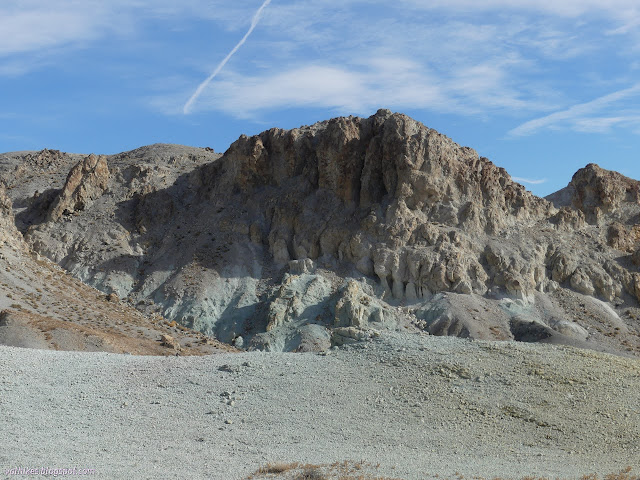
Castle Peak is in another pocket of white, with patches distinctly pink or blue or green, and clay-like geology that seems to attract mining in this area. I think it is the Esmeralda Formation and the beautiful structures it creates will get a bit of display in this and the next post.
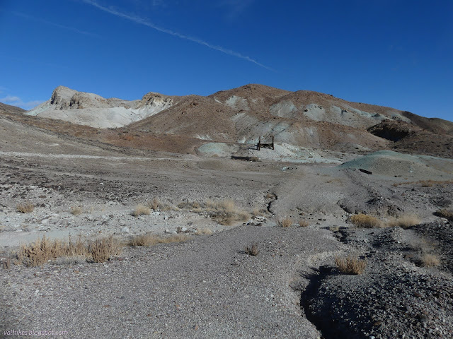
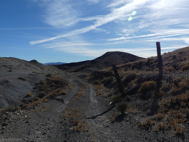
The old mine road breaks off from the larger road. It is visible for the line of rocks at the edges from when it was scraped, but little else. It hasn't seen an ATV in a long time. It climbs up and joins a road with other routes that still get some use. Some peak baggers with sufficiently tough vehicles report driving it right up to the summit block and others have camped. It looked like a recent ATV driver had decided against that.


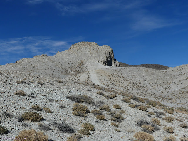

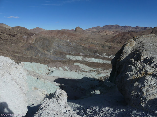
I took to stepping up the hill where there weren't too many rollers of loose rock on top of the solid peak rock. It was a friction climb and didn't take long.
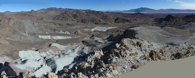

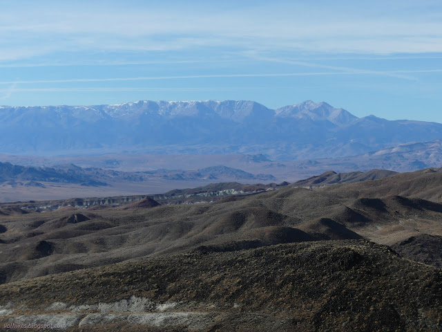

I decided that "in between stuff" would mean the Norman benchmark, which I already knew would have been a full day to hike from camp even without the spur off to Castle Peak. I was pretty much making it impossible to do the Earthcache at the end of the day, but I'd gotten away with climbing Red Mountain after Silver Peak. Maybe I could get away with this? I headed down shortcutting the looping road I had followed up. It took some very minor scrambling to get down the erosion chute I chose.

I crossed the valley to another decayed road, followed it down to the one I came in on, and walked back out to the wash. I would follow the "best road to Gilbert" a little further, then turned onto another road in another wash. It was indeterminant at first. I just had to take the map's word for it. It got to looking more like a road after a while, but it took longer this time. I walked along pieces that looked like they were scraped decades ago while the vehicle tracks followed the wash. Again, the footing was much better away from the tracks.


Two roads were headed sort of my way toward the Norman benchmark. I chose the more northern one to follow since it got up higher before ending. No vehicles had followed it in quite some time, although someone might have made it to the upper section by a different route in the last couple years.
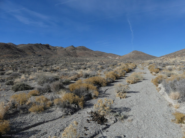


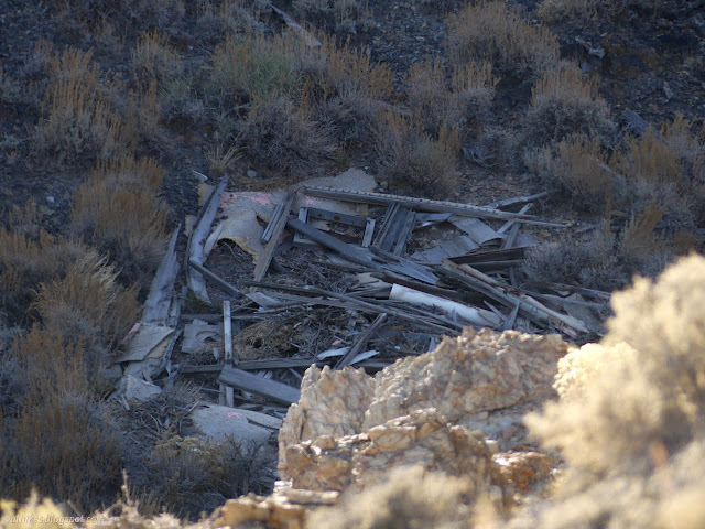
The road I was on actually loses elevation as it drops into the canyon high above the broken building just before ending. The horses continue on upward, but there's certainly no road in the wash after very long. I chose a different route than the horses to the top of the wash to set eyes on the surveyed peak.
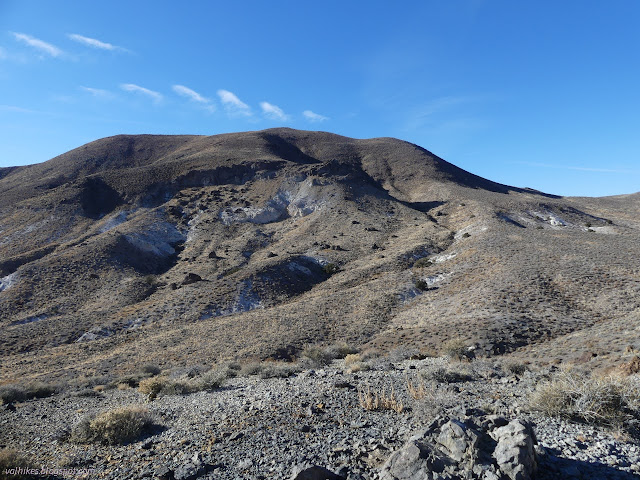

I had a short bit of steep where some animal trails suggested routes, then a long slant to get to the top. A very simple walk, really.

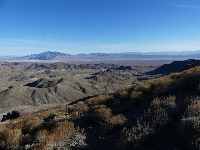
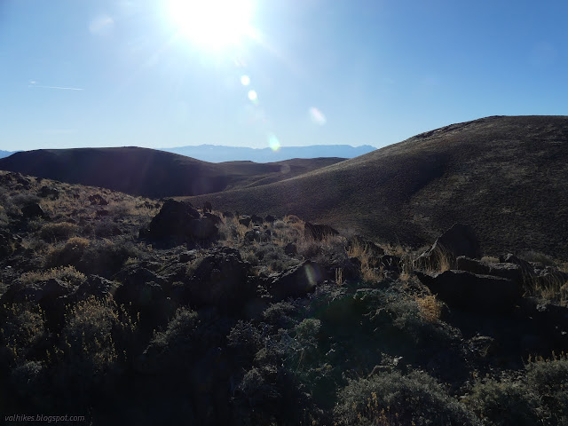
I arrived at the top and pulled on my puffies. It was cold and the wind was trying to push me over. That's what I get for peak bagging on a high wind day as storms pass somewhere just because it wasn't going to rain. It was almost too much to go finding benchmarks, but I had a bit more luck with arriving at one this time. In spite of the arrow, I didn't locate the station. I didn't even look for the second reference.


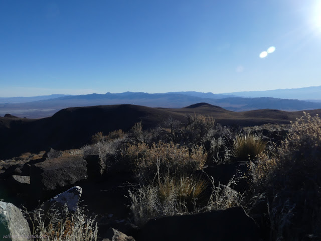
I took shelter below the peak to decide what to do next. It would be the same distance back to camp or to the Earthcache (over 5 miles) and it would be dark when I got there. That would make doing the Earchcache difficult. Once done, I would still have to go the 1.5 miles back to camp. I pushed that off for the next day. My plan for going was to walk the ridges to the south. I could still have done that, but decided some canyon travel might make more sense. Two presented themselves as obvious choices and I picked the northern one. I thought I'd be able to wander down its northern edge pretty easily.
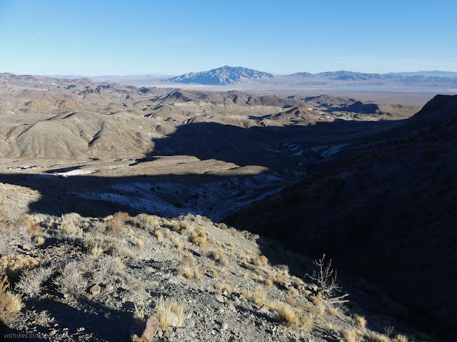
That north side of the canyon cliffed out, so I decided I should go down the middle of the canyon instead. Like my route off of Castle Peak, it included some minor downclimbs. There were three dry waterfalls with good steps down them.
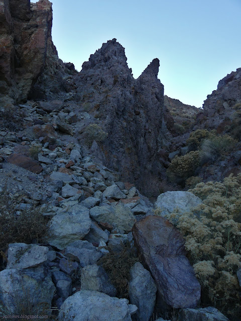

I found myself in an amazing canyon. It would have been more amazing with a little light on it, certainly, but it was still quite good in the shadow.
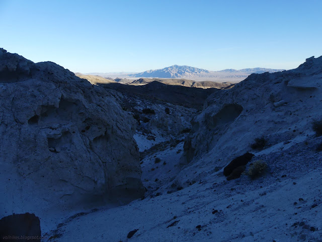

The other canyon looked a lot more like the hills with a layer of dark rocks coming down one side into it. It looked easier to walk, but I was happy with the canyon I'd chosen. Below the confluence, the canyon opens up to a less interesting wash.

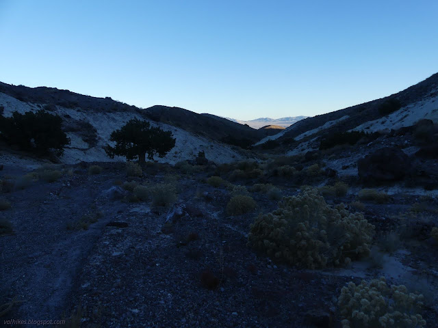
I walked near some roads, at least according to my map, but there was never anything to connect them. The wash would seem to break out into the open, only to find more hills to be among.


I did eventually break out into the alluvium with a few hills. I supposedly got on a road that would lead back to the one I started on, but when I looked again, I was long past it without seeing anything.

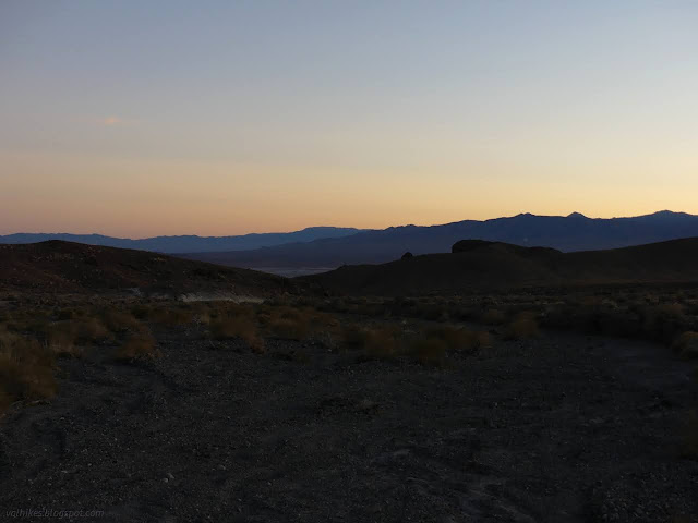
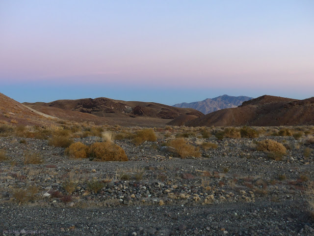
On the far side of the wash, there were cairns. They looked tall and placed to be seen, but they are probably mining claim corners, not navigational. They tempted me all the same.
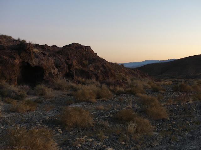
Since the other choice seemed to be to follow the wash right past camp until it hit the highway, I decided to cut across to the road I came in on by my own way. I headed across the north side of one of the scattered hills that would otherwise be an extra obstacle.
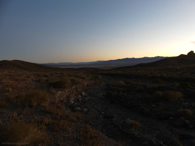
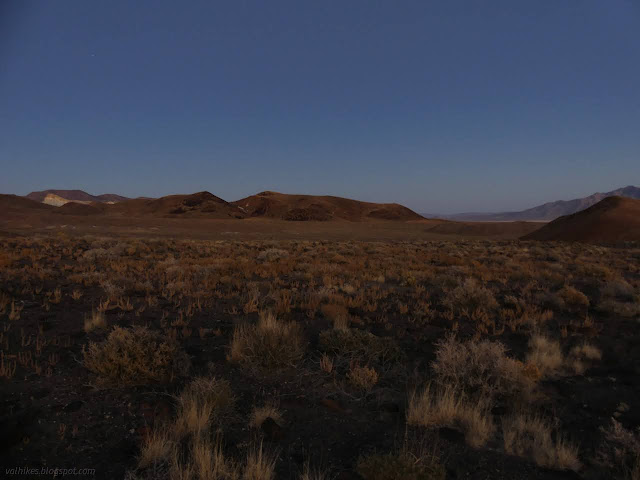
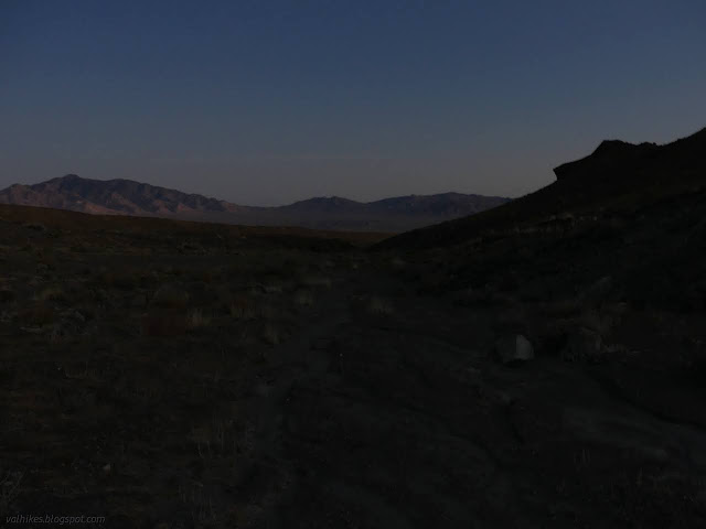
I arrived back at the road I started on. There was still over a mile to finish. As long as I didn't go down the middle of it where there were some rocks to trip over, I didn't even need a light to stroll back to camp. I suppose camp wasn't at an opportune spot after all.
*photo album*
©2023,2024 Valerie Norton
Written 12 Feb 2024
Liked this? Interesting? Click the three bars at the top left for the menu to read more or subscribe!


Comments