Rhyolite Ridge
Tonopah Field Office BLM
(map link)
My initial plans for a western approach to the high point of Rhyolite Ridge may have been foiled (perhaps by my own timidity), but I could still find a way up on the east side to bag this 1000 foot prominence peak. The west side sure looks a lot easier. There is a track on Peakbagger indicating it didn't require any class 5.3 moves or anything, so I set out to make the attempt in spite of all the clearly visible cliffs.
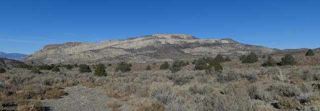
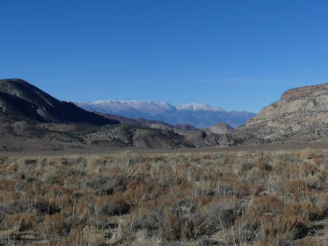
The route up is far to the north on little used roads and my little car still has only two drive wheels and 6 inches of clearance, so there would be a bit of walking before the real climbing began. From camp, the roads going my way are inconveniently placed, so I just set out across the scrub. Not a hard hike with a patch of cholla along the way. I got to a rough road and followed it to a bit better road.

I like having different routes and I like checking on the springs in the desert, so when presented with multiple possible roads, I decided to take the low route to a further road on the way up, the high road down. The low road was mostly a wash.

The road heads over the top and on to more hills and more prospects while a spur heads up to a spring.
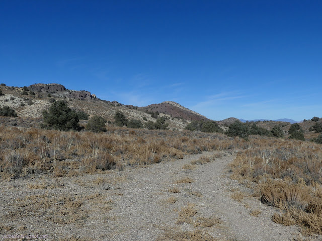

I headed up and found some fun geology, but no water. Nothing more than a clump of pines seemed to indicate there could be a bit more water than anywhere else.
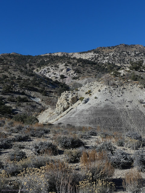

The roads were done and I got to climbing any which way that seemed reasonable. I went for the areas where the contours were furthest apart, but the land seemed to sometimes have different ideas.
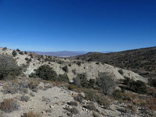


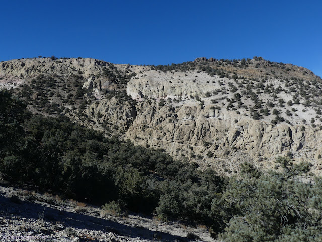

The climb got steeper. I did spot a very large spring at the far side of the valley. The effect of water pouring out and glistening under the sun might have been enhanced by water freezing and gathering, but it still looked like a gusher from far off.
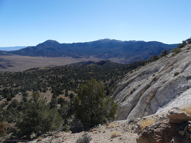
This route did go up a steep slope that was barely holding itself together, then cross over a couple steps on a washed out and steep gully that were uncomfortable, but mostly it really was just a wiggle and a walking climb.

There was a gully to climb and a big cairn to mark where to go down on the way back. I finally made the ridge.
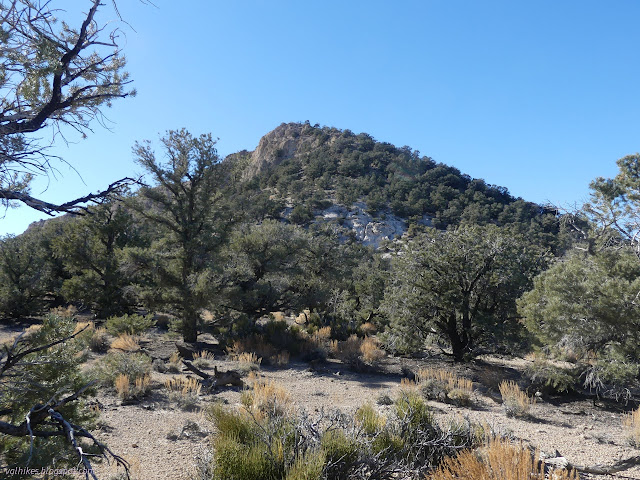
Once that last ramp was done, it was a pretty lazy walk along almost a trail to the high point at the top of the cliffs.


I found a register back away from the cliff at what is ever so slightly a higher point. Probably. Certainly with the small pile of rocks.
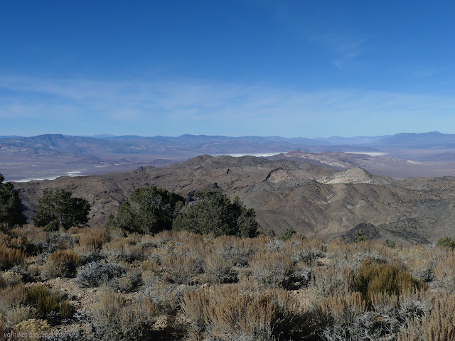

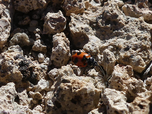
After a while, I got moving again. At first, I retraced my steps through the upper cliff band.
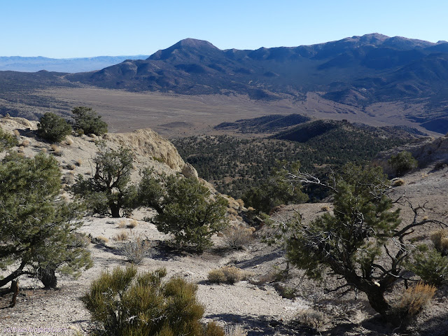
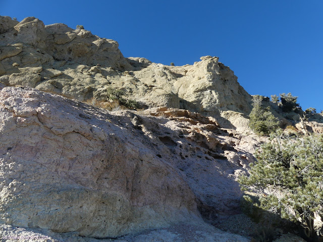
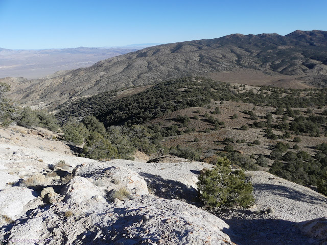

Once off the steep part, I could make my way any way I liked toward the top of another road that would pass a named spring.
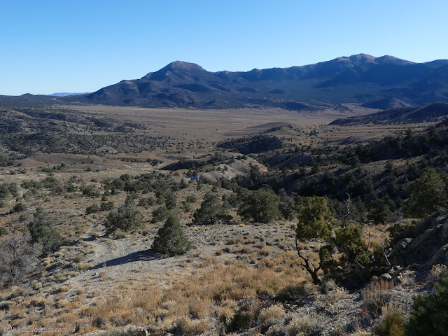

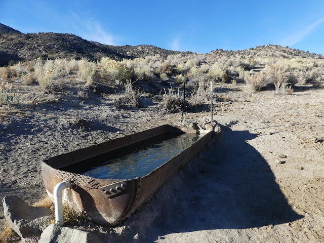
So I followed the road a little more and turned onto the high route. This would go through an area marked full of prospects on the map.
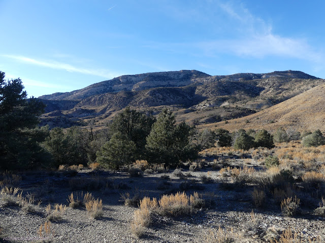
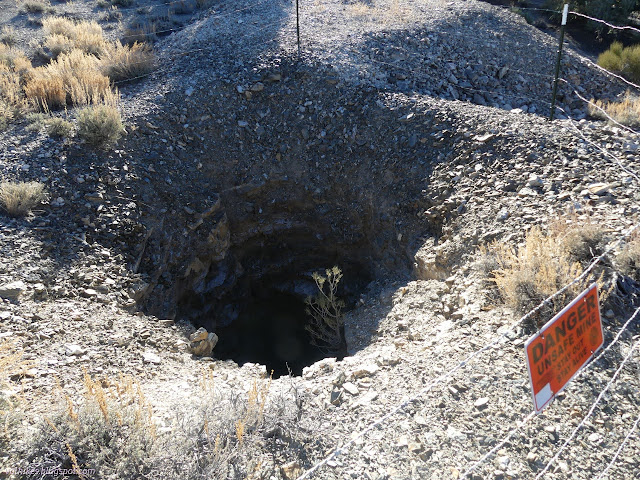
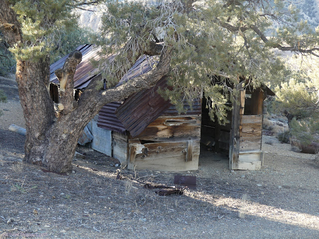

I decided to take the long way back to camp, sticking to the roads to pass another area of prospects. This one didn't prove to have much to look at, so it just took longer to get back.

And I had to walk the good road a little. It shows some signs of being in a very shallow canyon.

I got back to camp after it had landed in shadow. I had enough energy left to get packed up for an even bigger next day.
*photo album*
©2023,2024 Valerie Norton
Written 7 Feb 2024
Liked this? Interesting? Click the three bars at the top left for the menu to read more or subscribe!


Comments