The Crater
Tonopah Field Office BLM
(map link)
"The Crater" proclaims the map as if, although there may be others around, there's certainly none of this stature. I left my camp just north of (or maybe within) the Silver Peak caldera and headed for it. First I stopped at Coyote Spring (a small swampy area beside the road surrounded by parched land) and the Silver Peak cemetery, then north to The Crater. I found parking along the side of the highway as it loomed at the edge. It looks like there's an even more commonly used area slightly north of The Crater. I aimed to go around it as I had with Lunar Crater and Easy Chair Crater.
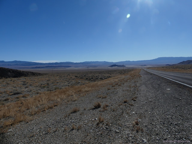

USGS shows some track roads on The Crater. The one on the south side goes to a "cinder pit". There's an Earthcache for it that happens to mention some trail, too, with a warning against trying those roads no matter what type of vehicle you may be tooling around in. There's a bit of a step at the bottom, but it is easy enough on foot.

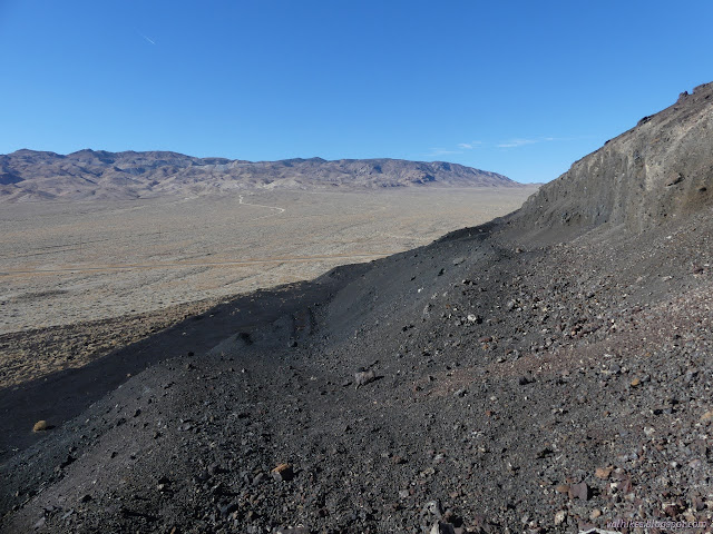
The end of the cinder pit did indeed have a trail. I expected it to go all the way up, but it only goes around the edge to a view of the crater.
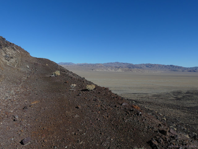

Not yet being where I wanted to be, I set off upward. Most of the climb had already been finished anyway.

It was pretty steady getting up to the high flat area of the rim. It doesn't quite make a full circle in that mode, but it makes at least half of one.

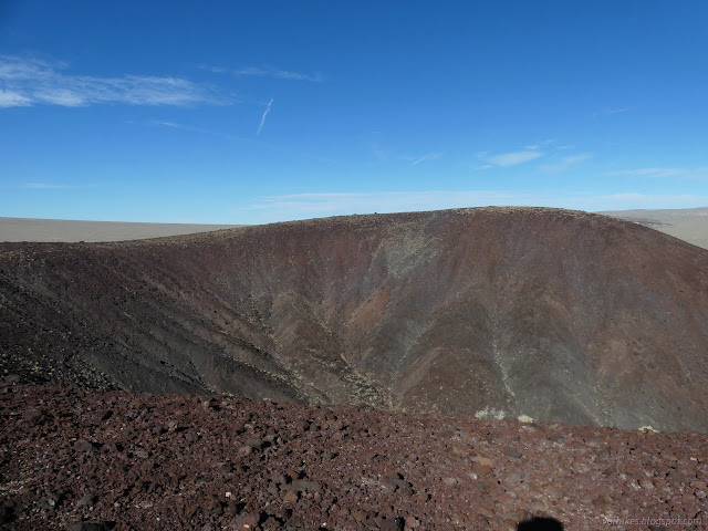
It was an easy walk to make the way around to the high point.


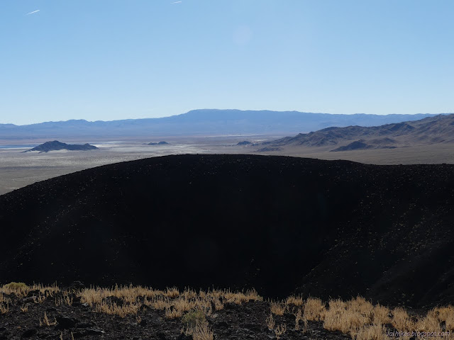


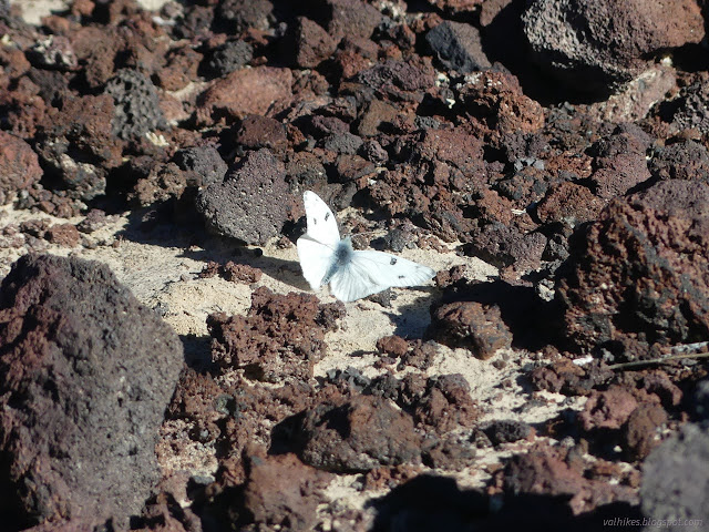
I took the northern ramp down again, so got in a lot of circling the rim, but didn't bother to connect it all. Good enough.
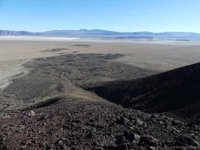

I made my way around the edge where it wasn't so steep. Heavy erosion channels decorate the sides of The Crater with vertical lines. I eventually found more old road to make the rest of the way around.


There was an even bigger step to get down off the edge of The Crater on my way down.
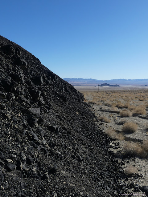
That was quick and fun, but it does seem like maybe it is the proximity to the road that gets it any notoriety. Perhaps. I stopped by a benchmark at the base before continuing on for the day.
*photo album*
©2023,2024 Valerie Norton
Written 9 Feb 2024
Liked this? Interesting? Click the three bars at the top left for the menu to read more or subscribe!


Comments