Emigrant Peak from Emigrant Pass
Tonopah Field Office BLM
(map link)
Now it's time to go after Emigrant Peak. The plan would be much the same as the previous day: head out on some low track getting in some canyons, head back on some high track getting in the views. The weather folks were promising a bit of sunshine, but the skies weren't obliging. For the start, I headed north on a different road than the one I drove in on. It would take me to a spring if I made the correct turns onto some older roads.


I headed down the road in the canyon again and turned north once more. Except for a little at the end, maybe, the rest of the trip would be cross country as planned. I did find traces of people driving what may have been a road once as I passed decaying mining claim markers along the base of the hills.


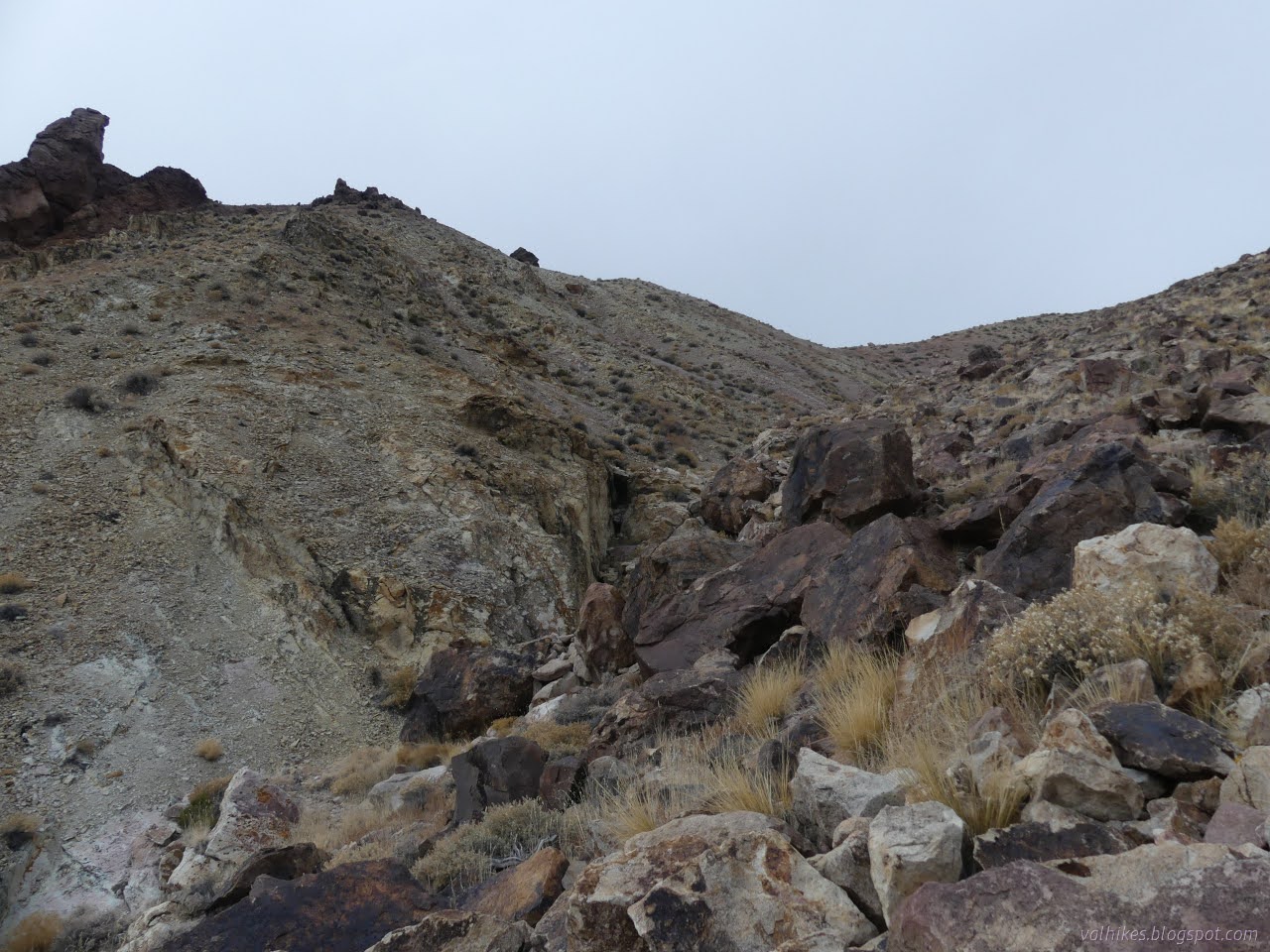
Coming to the canyon I'd chosen on the map, I started up. This was an easy wash walk at first, but got steeper quickly. Eventually the narrow cut and little waterfalls left walking up the north side easier.

At the top of the canyon, I popped over a small saddle to find myself on the side of another canyon heading east. I hadn't chosen the biggest one to go up.

I tried staying high on the north wall as I continued up. It worked fine except for the occasional gullies coming down. They started at the hard rock cliffs and dropped in sharp Vs to the bottom.

I powered to the top to get by the first gully, but had the sense to just let go of the elevation after that. It is easier to go up near the middle.


Coming upon a new saddle, I had got to the top of the ridge. This time, the far side stretched down to the west instead of the east. Animal trails crossed over with me and gave a good suggestion for a nice walk. My landscape was also marred just a bit by the stark track from someone's illegal motorcycle ride. It provided a very poor suggestion of a good place to walk, so I avoided it almost entirely.


There's a section of ridges to follow out to the peak itself. I picked one to get there and one to get back and kept to that.


I went up the peak ahead only to find it a bit short of the actual peak with a long way down in between. Well, about 100 feet.


So I just had to go down and up one more time to get to Emigrant Peak. I got there minutes before my turn around time, but that didn't get me to spend less time at the top.

The peak is narrow and long pointing north and south. I walked it looking for the surveyor's benchmark, which I hadn't immediately found where indicated. There's a stick and the remains of a cairn and some fireworks, but no mark. Going north, I found a reference pointing back at all that and some ever so slightly lower peak area. Searching around the south, I found another reference. Trying to triangulate over and over, I just got to the former cairn. Reading the reach, I found there's supposed to be a station, not just a cairn. There's not even a drill hole that I can see. Did someone leave the old cairn and then mark down after the fact that they totally did all the marks, for sure, man? Others after claimed they totally found it except one that omits any reference to a station mark while saying everything else is in good order.


Eventually I did make my way back down the steep side of Emigrant Peak and around the side of the eastern peak and on along the other ridges back toward that high spring I'd missed on the way up.


I rejoined my track before to follow the animal trails. This time I stuck to them well, coming across the spring. It was quite frozen through.


I rounded the saddle between east and west canyons and headed up into the rounded white ridge. Animal trails showed a good way once more.


Over the top, things got complicated. There's a lot of sudden drop off. I followed near the edge toward the east until I found an erosion channel I was comfortable with. It might be possible to walk a ridge down, but there are some pretty steep spots and none of the rock is very solid.


Eventually I was making my way through a rather colorful shale. The route down worked quite well.


While coming down, I picked out some washes to follow up the other side starting with a little downstream travel. The colorful shale turned to grey as I went. It probably would have worked out just as well or even better with a little upstream travel too. I was eventually standing on the saddle between the two minor drainages with a little more climbing to do.


As I climbed, the sun finally came out. I could finally see these rocks as they were meant to be!


The shale seemed to be getting harder like it had undergone a bit more heat or pressure, but remained rather dull. The blues were certainly gone.

And I had a much easier terrain to traverse. I picked out a gentle, winding route along the gentle rounded peaks.


My plan had been to wander along the top until I connected with an old 4x4 road that would take me to the pass. From there, I'd walk the pretty good road back to camp, finally truly getting to Emigrant Pass. That would take me a mile out of my way while going back to camp and it was getting late. I decided to drop off the ridge into a wash that was going almost directly to camp instead. It actually turns just before and makes a rough patch on that first road I walked out on, but the rest of the cross country would be a stroll over a slight rise.


It would have been 2 miles more and after dark when I got back had I kept to the original plan, so I was glad I took the shortcut. Still, I'd not quite gotten to the actual Emigrant Pass yet.
*photo album*
©2023,2024 Valerie Norton
Written 4 Feb 2024
Liked this? Interesting? Click the three bars at the top left for the menu to read more or subscribe!


Comments