Below Corey Peak
Humboldt-Toiyabe National Forest
Stillwater Field Office BLM
(map link)
I stopped by the Mineral County Library in Hawthorne to do a few things on the web. The stop lasted a bit longer than expected because they have jigsaw puzzles out for working. I managed to head out in good time to find a camp site in the light and getting to the top of the top of Lucky Boy Pass took less time than expected as the road was recently graded. What to do with 40 minutes of light? The world was clearly directing me to go find the "Below Corey" geocache. I decided to let it push me along that way since it would mean I at least stepped foot into the forest. Along this road, it is essentially Bureau of Land Management on the north side of the road and National Forest on the south side. Besides, I do like a lonely cache and this one hadn't been visited in 6 years! This is doubly surprising since nearby ones have had much more recent visits.


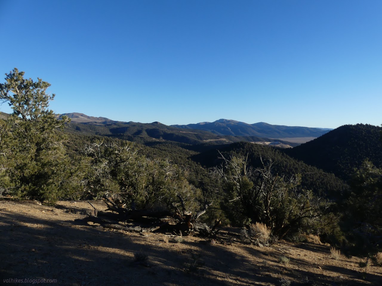
I tagged the peak and had a look around before going to look for the nearby geocache. Priorities. You don't get away from mines just because you're in the USFS instead of BLM lands.


The geocache was in perfect shape right where it said it was, last signed in 2017. You never know why these get missed. Admittedly I missed the others nearby.

I hadn't actually found a camp yet and the sun was getting low in the sky. I headed back and then up the road a little to find the most used camp quite empty and decorated for the season. Once the sun went down, the lights were even willing to come on for maximum holiday cheer.

So that was a nice little look around and camp found for the night. There are smaller sites a little higher up, but the one I would have liked is just past where the little car can reasonably go. I worried about how cold the night would be at over 8000 feet, but it was fine.

*photo album*
©2023,2024 Valerie Norton
Written 20 Feb 2024
Liked this? Interesting? Click the three bars at the top left for the menu to read more or subscribe!


Comments