Massacre Natural Bridge

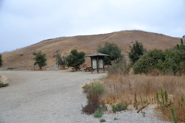
Shasta-Trinity National Forest (map link) I encountered the Natural Bridge, AKA Massacre Natural Bridge, while improving the area mapping and decided I had to go see it, whatever it is. It is the third and last hike included in the Forest Service's Hayfork Area Trails handout that I happened to find while researching the location. Here, the map will get you somewhere that works (but not the picnic area) while the description claims the picnic area is directly off the county road, leaving the traveler over a mile from their destination. I wasn't too sure about the road up to the picnic area anyway. It was mapped as improved gravel in 2014, but is now marked as unimproved in their digital data. There is a usable dirt turnout just north of the junction of Bridge Gulch Road (FR 31N19) and Wildwood Road (CR 302) for any who are concerned, but I ended up giving the road a try and parking at a turnout partway up. This widening in the road was sufficiently long to allow a pai...