Posts

Showing posts with the label Russian Wilderness

Etna: Albert Lake and Pacific Crest Trail
Image
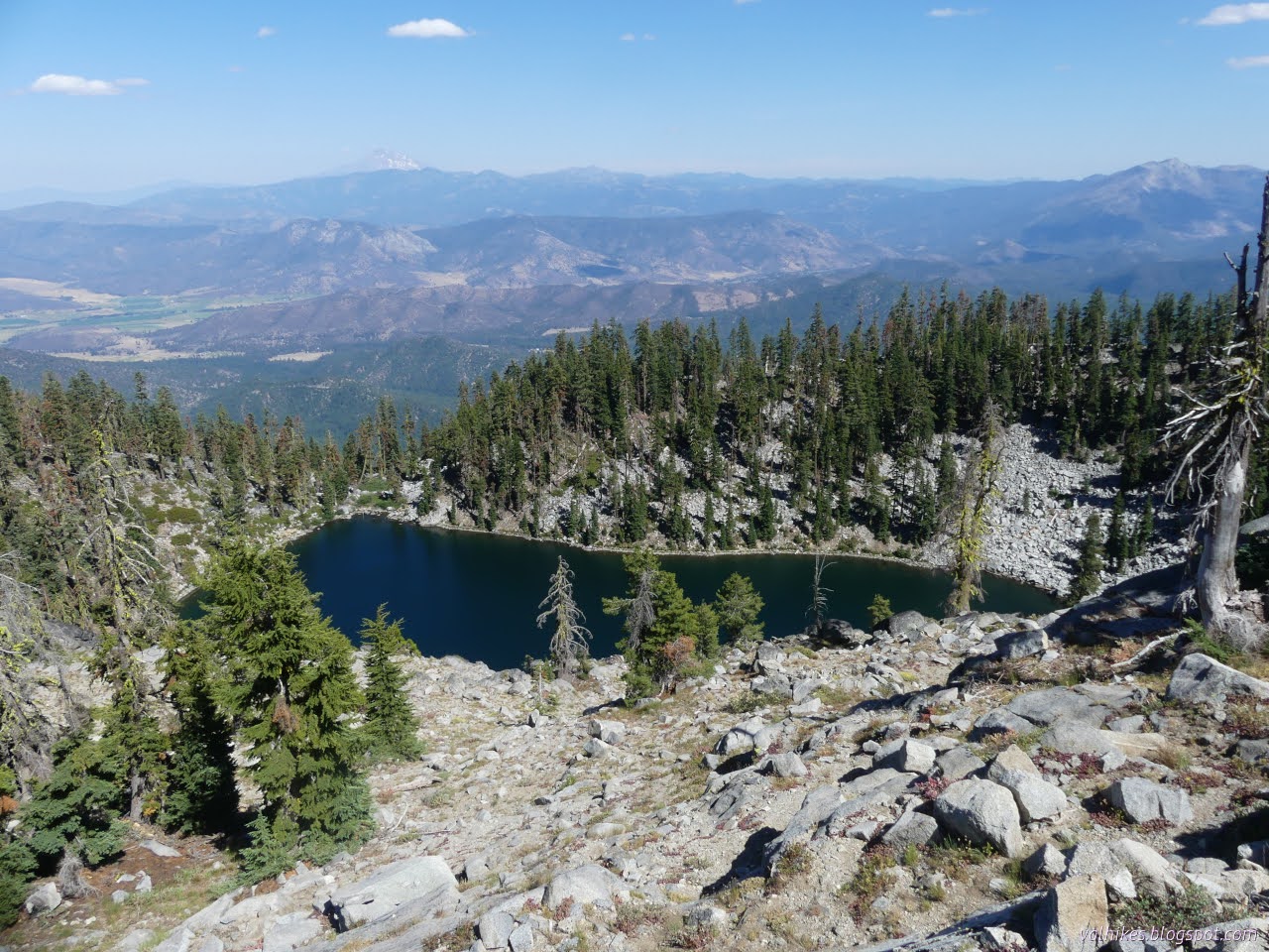
Klamath National Forest (blue lines, map link ) DAY 1  |  DAY 2  |  DAY 3 For my first trick this day, I figured I would pop up to Albert Lake, but probably not all the way up to Upper Albert Lake. For my second trick, I was aiming at a little more time on the PCT heading south to a saddle above Lipstick Lake and back. Finally, I'd pack it up and head on back to the car and get myself on to the next thing. I was kind of looking forward to the next thing, but first the current thing needed its due attention. I doubled back to where a trail had started to climb that was labeled as "Albert Lake Trail" on my OpenStreetMap. It got me right back to my camp and then up through the meadow and through the alders where someone had hacked them back a bit. There might have been a bit of trail there once, but it's certainly not where the people are going now. Paynes Lake Large patches are striped green with bur reeds . Past the swamp alder, I found a much better...

Etna: Etna Mountain, Meeks Meadow, and Paynes Lake

Image
Klamath National Forest (red lines, map link ) DAY 1  |  DAY 2  |  DAY 3 My plan for day 2 was simply to continue along the Meeks Meadow Trail exploring the nearby lakes, then a short way further south on the PCT to Paynes Lake. Since I'd already done the first 2 miles to get to Ruffey Lake, I had plenty of time to head up Etna Mountain, also on my list of desirable excursions. Here comes the sun, almost to camp. See the tent in the rocks? I expected Etna Mountain would be a common local hike. The mountain isn't super high, but it stands out from the main ridge so that it'll have a grand view. It's only 3 miles from the major trailhead on Etna Summit to the top of the mountain, so very doable even in a half day. The first 1.5 miles is on the PCT, 0.5 miles on Meeks Meadow Trail, and the final 1 mile is cross country, but it wouldn't feel that way if it was regularly traveled. Turns out, it isn't regularly traveled. Checking Peakbagger, I found it ...

Russian: Pacific Crest Trail

Image
Klamath National Forest (blue line, map link ) DAY 1  |  DAY 2  |  DAY 3 After the "easy" day that included pushing myself up a very steep hill for over 1000 feet to a big boulder strewn peak, I was looking forward to an actual easy day. Just 7 miles back down along the nearly clear (one tree down) Pacific Crest Trail. I didn't even go ahead and wander down some random amount of PCT north prior to going south. First I hung around camp a bit watching the newts. They were thick in the lake where the sun would get to them first. There's 10 of the at least 14 newts counted in the nearby shallows. And horror of horror, they were surrounded by foam. All the rain the day before had kicked up bubbles that hadn't gone away. You only need a freezer bag to be your bucket to be able to take water away and be safer with soap use. It doesn't have to be this way! Little orange toes! (The whole underside is bright orange.)

Russian: Bingham Lake and Russian Peak

Image
Klamath National Forest (orangey lines, map link ) DAY 1  |  DAY 2  |  DAY 3 Day 2, my planned easy day! Just 4 miles around from Waterdog Lake to Bingham Lake near the Pacific Crest Trail. The only complication is that there's no official trail up from the PCT to the lake, but the contours are slightly less close than the ones where a trail does go. Also, the PCT through hiker I chatted with the day before relayed reports (on FarOut) that there was a scramble trail up to it. So not that big a complication. Looking down to the unnamed lake just above Lower Russian Lake. But I couldn't leave it just at that. I had developed a couple "little" excursions over the course of the previous day. The first was a result of checking for geocaches. I found two. One was just under half a mile from Waterdog Lake and the other was along the official trail to Bingham Lake. The latter wasn't so interesting, but the former promises a view of both Lower Russian Lake ...

Russian: Siphon Lake, Russian Lake, and Waterdog Lake

Image
Klamath National Forest (reder lines, map link ) DAY 1  |  DAY 2  |  DAY 3 Well, I didn't go to Etna. With the Russian Wilderness so close at hand, I couldn't leave it unvisited. It isn't very big and sits back from any major road and has a distinct lack of obvious trail loops, so the how wasn't entirely clear. I decided that the premier entry would be via the Pacific Crest Trail from Carter Meadows Summit. I slid right back into the exact same parking spot I had before among the burned trees, but this time turned my attention to the greener side of Cecilville Road. (There isn't parking on the far side until the second crossing of the PCT and Carter Jack Road a mile up the trail. It's a low standard road and I decided not to risk it although it doesn't look that bad.) What a difference a direction can make. The PCT quickly gets lost in the green pines just right of center on the far side of Cecilville Road. I didn't have much planned and ...