Russian: Siphon Lake, Russian Lake, and Waterdog Lake
Klamath National Forest
(reder lines, map link)
DAY 1 | DAY 2 | DAY 3
Well, I didn't go to Etna. With the Russian Wilderness so close at hand, I couldn't leave it unvisited. It isn't very big and sits back from any major road and has a distinct lack of obvious trail loops, so the how wasn't entirely clear. I decided that the premier entry would be via the Pacific Crest Trail from Carter Meadows Summit. I slid right back into the exact same parking spot I had before among the burned trees, but this time turned my attention to the greener side of Cecilville Road. (There isn't parking on the far side until the second crossing of the PCT and Carter Jack Road a mile up the trail. It's a low standard road and I decided not to risk it although it doesn't look that bad.)
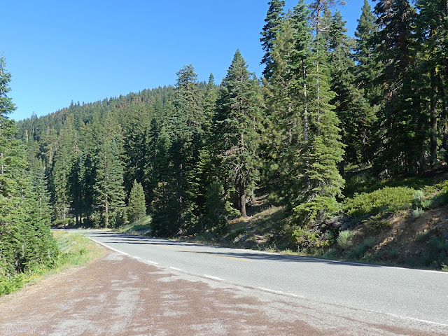
I didn't have much planned and could have churned through the ~18 miles in a single day. After communing with the map, I decided to actually make it three days. I could use a rest, so a really easy 4 mile day sounded nice. First, about 5 miles on the PCT and 2 more to stop at a lake. The PCT quickly climbed to some bare (but not burned) ridge.

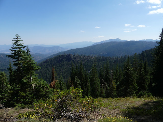
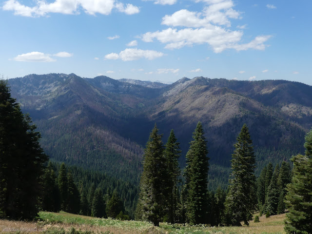
Being the PCT, it felt busy compared to my usual. I was passed by a few through hikers (by the PCT tags) heading north and a trail runner coming south.
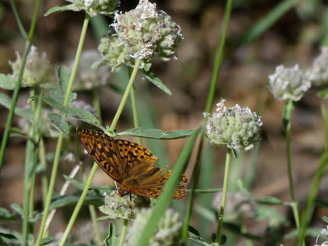
The trail gets to feeling a little bit more rugged without actually getting any feeling of exposure. Fins of hard igneous rocks stick out of the hillside and there are some nicely striped metamorphic rocks to ponder.

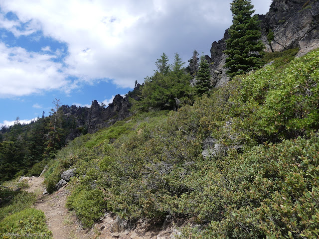
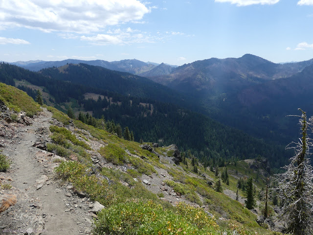
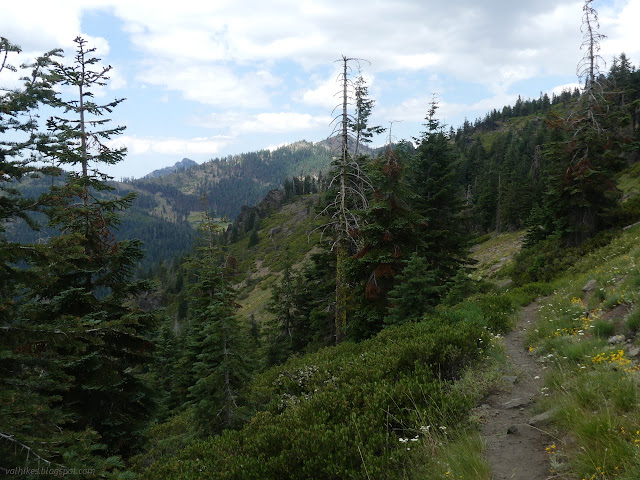
The trail passes an old road, a remnant of mining activity. This is Trail Creek Trail, but there's no sign to say so. Soon after is a second. I found one of the through hikers under a tree waiting for a buddy. We chatted a bit including about side trails. He said he'd seen a lot more signs than trail and I said that at least for Telephone Lake, although there are two signs, the trail doesn't leave between them. Makes it harder to find from the sign. This was much easier.

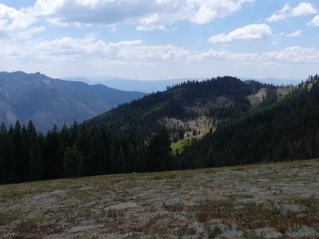
Approaching Syphon Lake, I saw bits of pipe that were part of its namesake. People have camped beside the lake and in a big spot down the outlet a little. Both camps are appropriating artifacts for camp furniture.
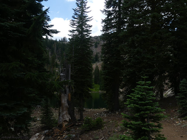
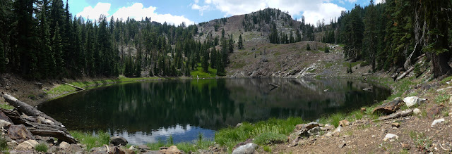

The old road splits and ends at a couple of prospects. From there, it is glorious single track on the way around to more lakes.
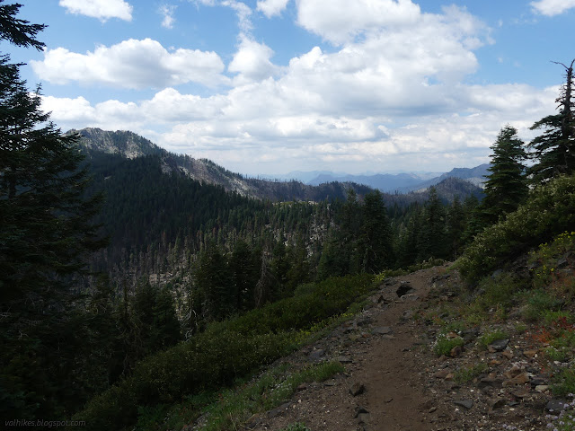
I came to a sharp corner in the trail that many seemed to miss. Or probably purposely missed. It's just over a low spot from Russian Lake and someone had already marked the informal trail on OpenStreetMap for me. Definitely purposely missed. I tried it, up and over and finally into the Russian Wilderness, and was a little sorry. It isn't a good trail. It drops very steeply down the other side to the lake. It is more of a scramble.

Oh, but what a lake!

After making a very careful way down, I walked the trail at the edge of the lake. It was a well used trail. It passed a lot of well used campsites. They're so well used, they have rock furniture.
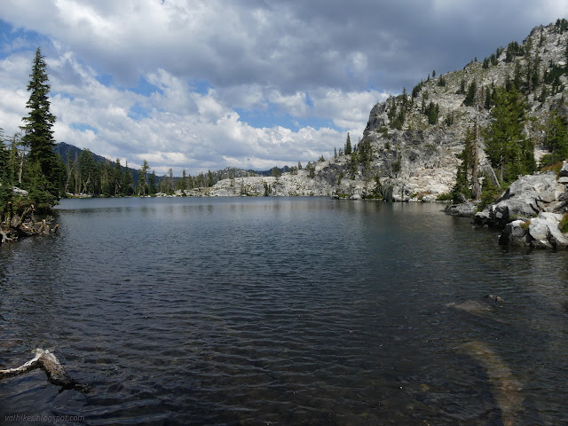

I made my way past where I suspected there would be more trail to reconnect to official trail, over the outlet, and up onto the rocks on the far side. I expected a grand view on one side and more angles on Russian Lake on the other. I wasn't disappointed.
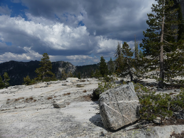
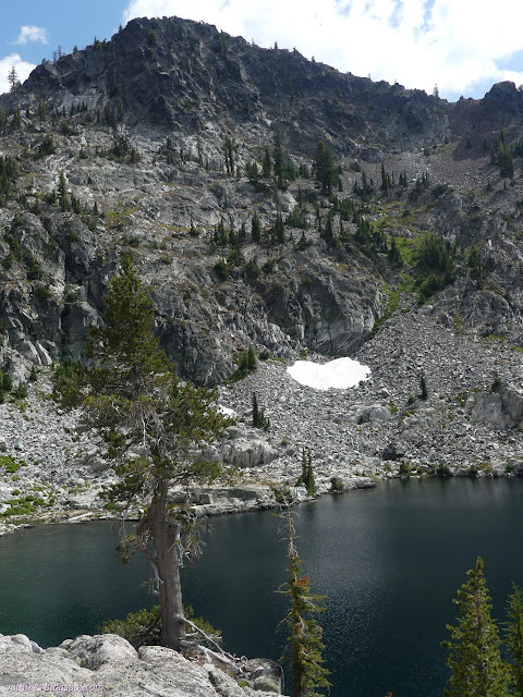
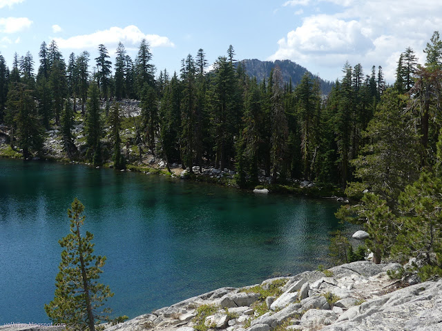

However, with all that beauty and the suspicion that sunset would be grand, I wasn't tempted to change my plans and camp there instead of Waterdog Lake. It feels like a place where people tend to party more than camp. The lake itself is sudsy from poor soap practices. There is no soap that is safe to use directly in the water, but they hide it in the small print and people are happy to believe they can because it doesn't say it big on the front. Oh, and one spot on the way up the rocks was quite... fragrant with something that should have been buried. It's not being well cared for.

The informal trail down from Russian Lake to Waterdog Lake is much nicer to travel. Although gentle, it does represent a small divide. None of the water from Russian Lake comes down to Waterdog, at least not on the surface. No soap suds were along the edge of this lake.

I chose a camp somewhat toward an opening in the ridge. Possibly not the best considering the weather threats being made by the clouds. It is a little more exposed than the better used sites too close to the water. I still had time in the day and decided I would wander down the trail to a pond. First, I set up my tent to make sure the gear I left in camp stayed dry.
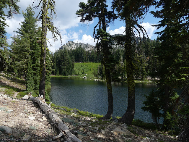
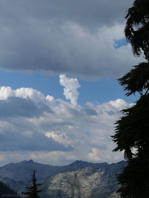
Then I headed down the South Russian Creek Trail. It's not as well used, but has recently had maintenance. They didn't have a big enough saw for one log, but most of it was clear.
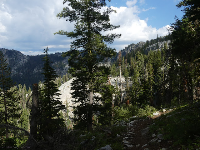
I very nearly missed the pond. It was a bit further from the trail than it looked to me on the map, plus there was a lot larger a rock mound between it and the trail. Really, 40 foot contours can hide a bit of detail. I backtracked, then climbed up on the rock for a surprisingly good viewpoint considering I was approaching halfway down a massive glacial valley.
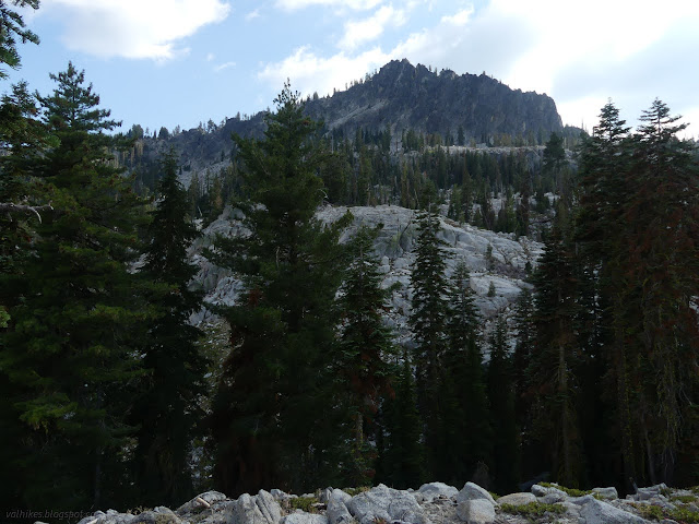
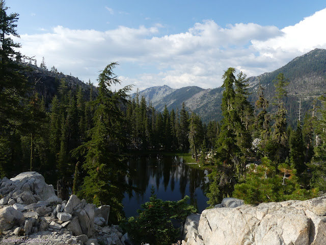
And then I headed back.
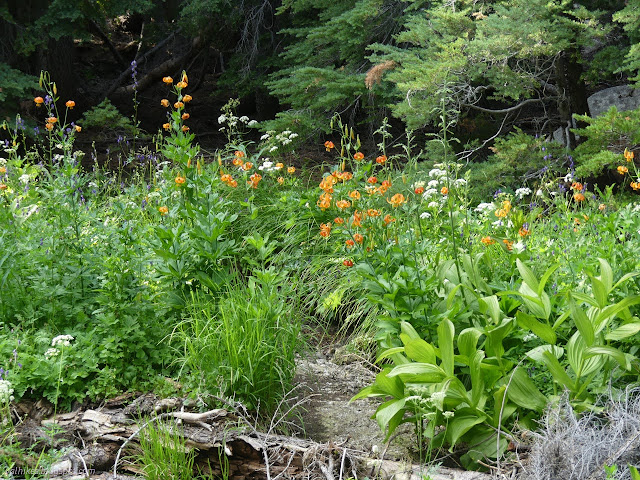
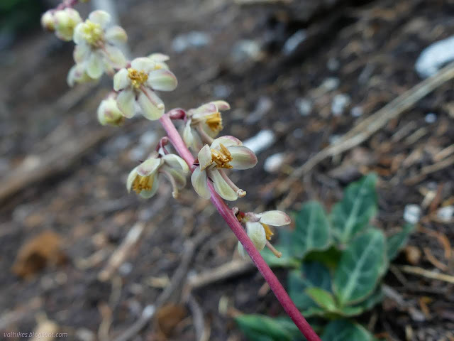
There seemed to be a bit of trail continuing where the official trail turns to cross the creek coming down off Russian Lake. I tried it shortly, but it seemed to be reducing quickly. I have the barest suspicion it might curve around to visit an even smaller unnamed pond.
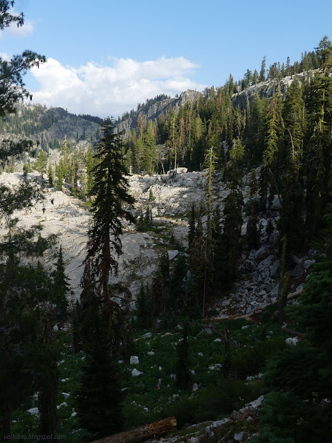
It hadn't rained yet as I got to camp, but there were some distant rumbles from a long way down the valley. From the viewpoint near my camp, I could see it was raining that way, too. I could also see just a little bit of water below. Climbing a little got to a nice point with a better view of the water. It was Lower Russian Lake and the slightly higher unnamed lake next to it.
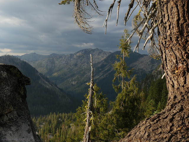
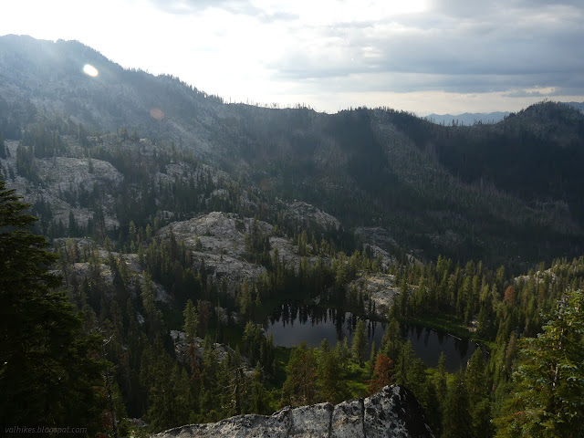
Shortly before sunset, a large groups of teenage girls came wandering past shouting among themselves. They must have been pointed to the lookout, because most of them tromped their way up there, looked out, shouted a bit, then wandered down almost through my camp as I cooked. As their voices almost vanished around the corner, heading up to Russian Lake, I was glad not to be there for it.
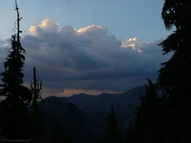
Shortly after sunset, a pair of fishermen came by, or at least they were telling fish tales as they went. This was done at a more normal volume for chatting hikers. They, too, turned up the use trail to Russian Lake. Imagine if it was a weekend. Hopefully the teenagers had gotten quieter for them. I had a quiet night after that. Not even the wind acted up.
same trip, next day ⇒
*even more photos in the album*
©2023 Valerie Norton
Written 7 Sep 2023
Liked this? Interesting? Click the three bars at the top left for the menu to read more or subscribe!


Comments