Etna: Etna Mountain, Meeks Meadow, and Paynes Lake
Klamath National Forest
(red lines, map link)
DAY 1 | DAY 2 | DAY 3
My plan for day 2 was simply to continue along the Meeks Meadow Trail exploring the nearby lakes, then a short way further south on the PCT to Paynes Lake. Since I'd already done the first 2 miles to get to Ruffey Lake, I had plenty of time to head up Etna Mountain, also on my list of desirable excursions.
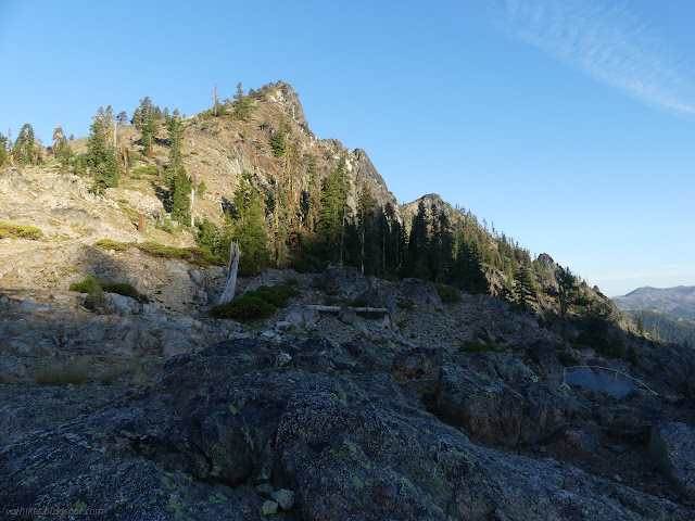
I expected Etna Mountain would be a common local hike. The mountain isn't super high, but it stands out from the main ridge so that it'll have a grand view. It's only 3 miles from the major trailhead on Etna Summit to the top of the mountain, so very doable even in a half day. The first 1.5 miles is on the PCT, 0.5 miles on Meeks Meadow Trail, and the final 1 mile is cross country, but it wouldn't feel that way if it was regularly traveled. Turns out, it isn't regularly traveled. Checking Peakbagger, I found it not even listed. No ascents on List of John. An internet search did turn up one blog post that claims it's a bushwhack with some "intermediate scrambling" required to get to the very top. I could see from the ridge on the way down to Ruffey Lake that there's ways up without too much bushwhacking if you just pick your route well and the top looks a little like a climb, but if you go around to the back, it's likely a walk up the whole way. I stuffed my heavy gear under a bush and took off to find out the details of the peak for myself.
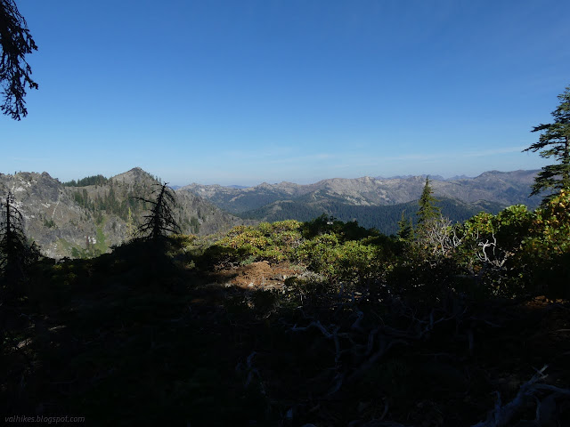
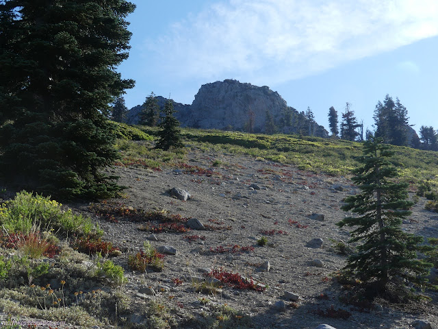
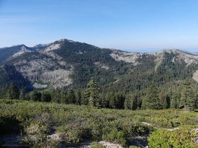
There were a few trees to step over at the very start, but for the most part there was only brush with wide corridors to travel through. I judged these breaks as viable routes if there were deer prints through them and this worked well. I even managed a rather direct route. I found a single cairn along the way.
Arriving below the summit block I tried not to even be tempted by the scramble up the direct route to the top. Just go around to the back. It'll be an easy walk that way. But it looked so easy and tempting, I started up the near side anyway.
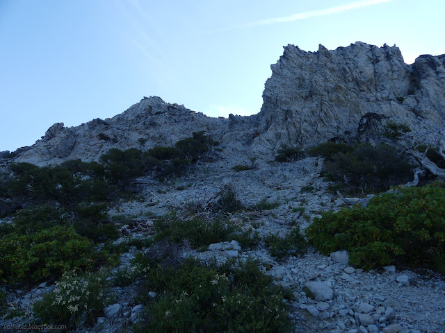
Well, the block seemed to grow once I was on it plus the rocks are rather loose. I relented because I would just feel a lot safer on a different route. The walk around was super easy and the back side even has the start of a trail up it. It truly is a walk up.

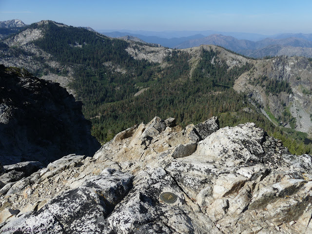
Once at the top, I still couldn't understand that this is not a regular trip for locals and anyone else wanting a quick, grand hike. I checked again that it actually is in the forest. Nearing the edge, but it is public land.
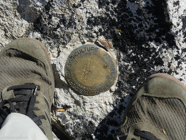

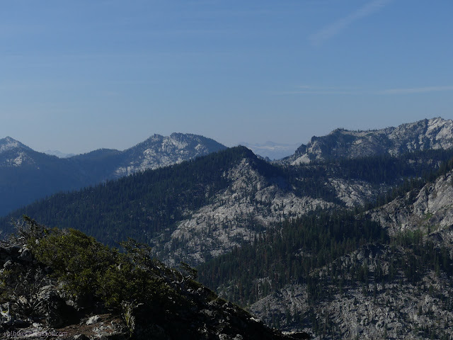

I popped over to the south peak to make sure it is shorter. It is. I checked around it and the north peak for a register, but found nothing.


Eventually I remembered I had more to do with this day and started down. Since there seemed to be more trail, I tried that, but it was falling off the mountain in entirely the wrong direction and looking more and more like simple erosion, so I broke off and found another not too brushy way across the mountain. Only a couple steps were through brush for the whole hike up and down.

Back at the lake, I packed up and continued around the edge. Trail got scruffy along the west end under the trees. At the southwest edge, there was a camp and an actual trickle of inlet water. There's a trail up to the main trail, but I continued around down by the lake until near where I'd come down to it the night before.
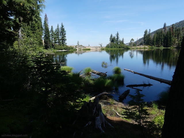
There's only the barest bit of climb to leave the Ruffey Creek drainage for the Meeks Meadow drainage. It's a bit of down to Meeks Meadow. Trail is less used but not hard to follow. I was a little suspicious that Meeks Meadow Lake wouldn't be visible from the trail. It isn't.
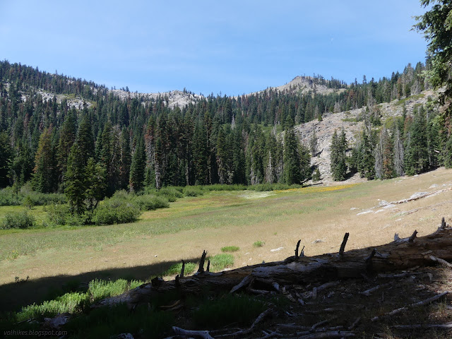
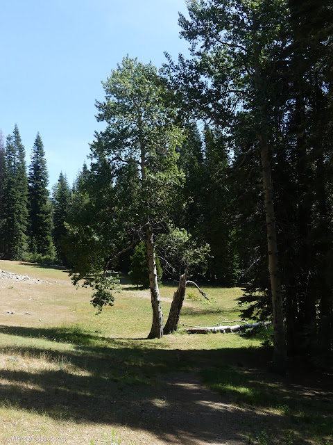

I kept looking for a trail over to the lake. The map promises marsh to the north of it, so that wasn't attractive. Just across Meeks Meadow Creek (flowing nicely, as were the streams that feed the marsh) I found what I was looking for. A thin trail followed the edge to the lake.

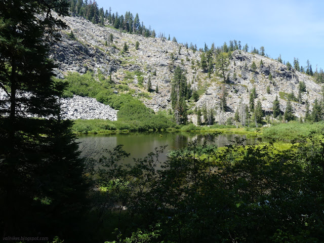
Travel along that path was a little more challenging than the common trail. I found a rather desperate looking campsite with a scramble down to the lake past some alders. I didn't try to follow past that point.
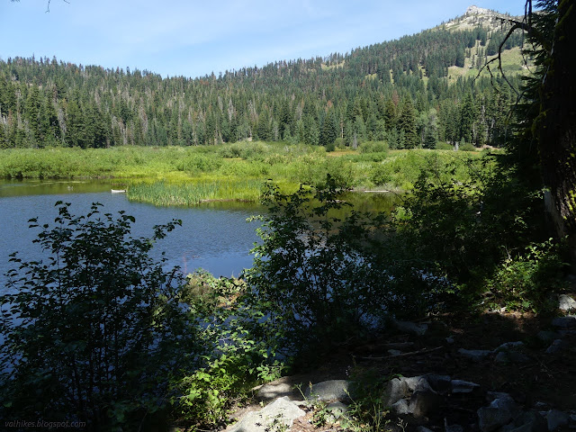
Back on the main trail, it's time to climb. The trees are too thick to give a view of the lake from the switchbacks. Somewhere near the top of the climb, I looked for the trail showing on the Forest Service topo map going to Smith Lake.
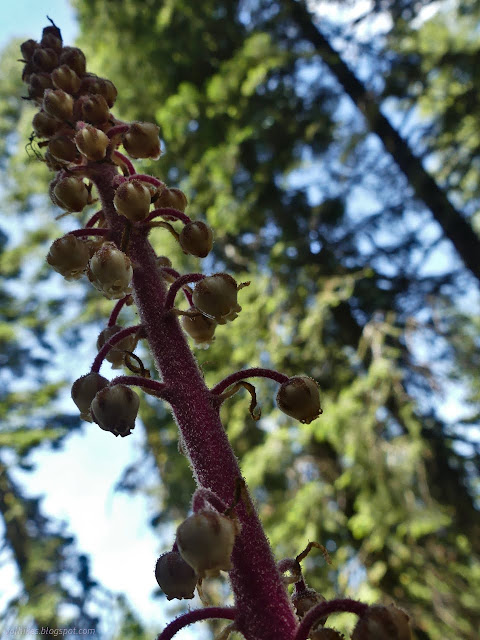
I got down to the first switchback on the other side without seeing anything like a trail. I returned and hoped the fairly bare spot was what I was looking for. It was in the right spot. I climbed the ridge in the vicinity of marked trail seeing only a few spots that looked like there might have been a trail there once.
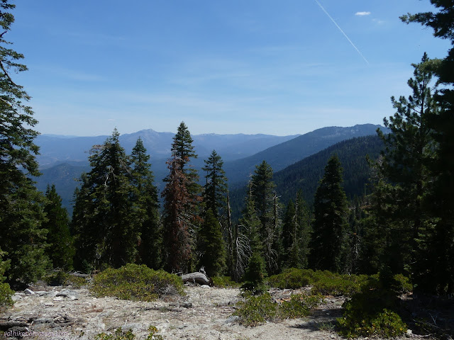

I did even pick out some little switchbacks, so maybe the hints are real once trail. It doesn't quite get to the lake and there's a boulder field to navigate to get close to the water.
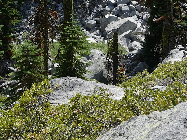
I managed to navigate the boulders and got to some little bit of trail and a camping area carved out from the rocks. There's a second camping spot on the other side of the outlet, similarly carved. In between were a collection of pipes spanning 100 years of pipe making technology. Some had rivets down the side and some were an uncorroded thin metal. Smith Lake has a syphon that might even have been used in the last 10 years.

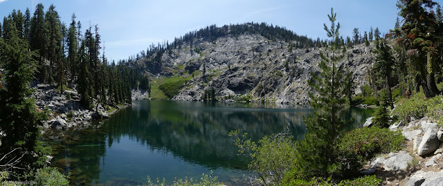


I picked a different route back through the boulders and can't recommend either of them. This one passed a collection of pipe fittings and glues. Then I had even more trouble following the trail down than I did following it up. It made me glad to be back on Forest Service system trail even if it was covered in sticks. Being between maintenance weeks, I was sort of in trail maintenance mode and it had a lot fewer sticks after! It drops down to touch the forest boundary where it was obvious it is logging land on the far side. The whole area reeked of fuel from recent activities. Some of the broken sticks on the trail were knocked off of recently felled trees.
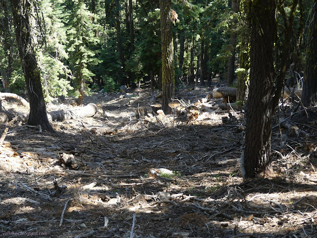
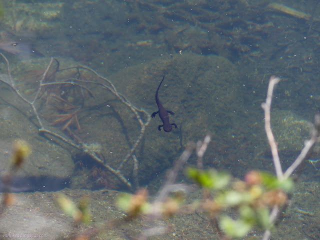
I knew I needed water soon when I was at the lake, but the promise of springs up ahead made me leave that water to the newts. There were three perennial flows crossing the trail up ahead according to the Forest Service topo. I hadn't noticed that OpenStreetMap had a different route for the trail, one that only passed by one of those flows.

I passed the outlet of Smith Lake to find it dry as expected. It is marked as seasonal. The spring fed flow just past it was the barest seep. Plenty of green stuff enjoyed it, but it would be a lot of work for me to try.
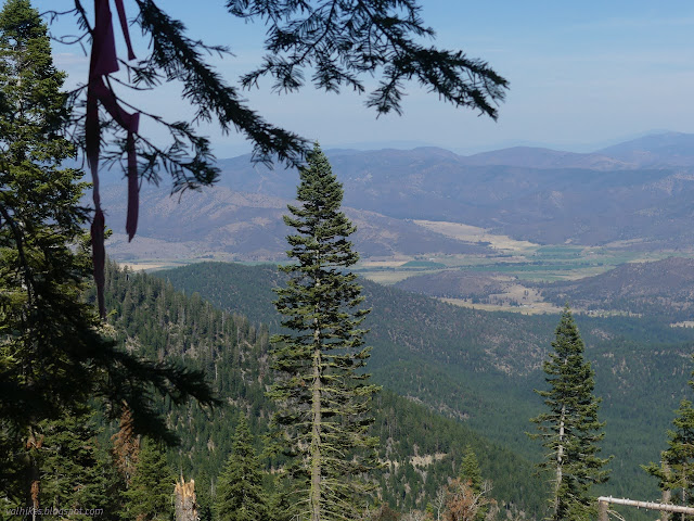
I stopped a while at the intersection of the trail with an old road that must have been the trail when the Forest Service drew their line. Below me might be two more spring fed flows that the trail no longer passes and my water was gone. The route of one is marked by the thick growth of grey alder, "swamp alder" one person I talked to called them. It's quite accurate for these short trees that cluster around water making it inaccessible. I listened carefully for any sound of flow, but found none. It is a fair way down, so could easily get drowned in the little bit of breeze, but I also really wanted to know it was there before chasing it. I wasn't dangerously thirsty and left it.
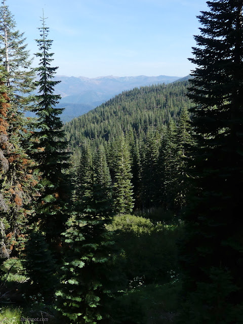

There's no sign for the Meeks Meadow Trail at the south end and just enough strategically placed growth to make it easy to miss if one is trying to find it. I headed south, finally coming to the Russian Wilderness, briefly, when I stepped out for a view of Taylor Lake below.

Also enjoying the view was a hiker who volunteered that he wanted to go up Etna Mountain only prompted by the fact that I'd been off the main highway of a trail that is the PCT. This is how obvious it is as a hike! I told him that although it should be a regular hike for all sorts, it isn't. It's still easy for the pioneering soul to find a way and as of that morning there was one single ascent recorded in the online record keeping places. Maybe by the next day there were two.
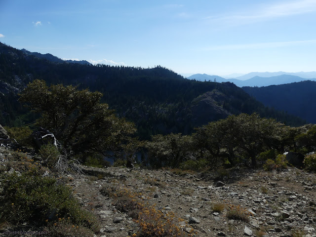
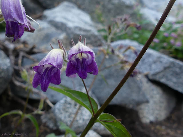
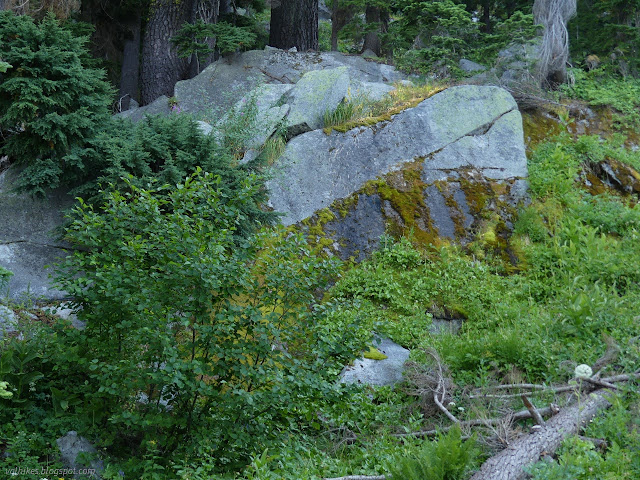
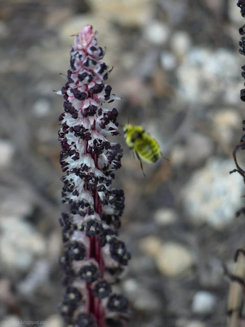
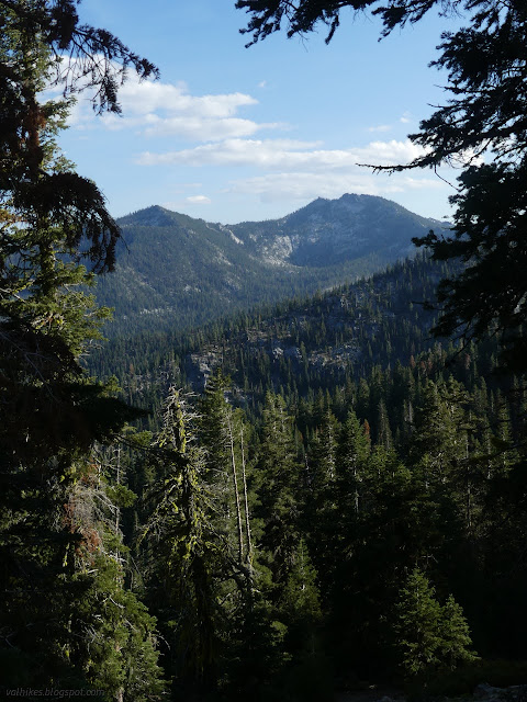
There's no nice wilderness sign to celebrate entering the Russian Wilderness from the north on the PCT. It does already feel a little wilderness-y anyway. I came to a spring fed water source that was absolutely gushing with beautiful clear stuff and settled down to grab some even though I was only half a mile from my expected camping area.
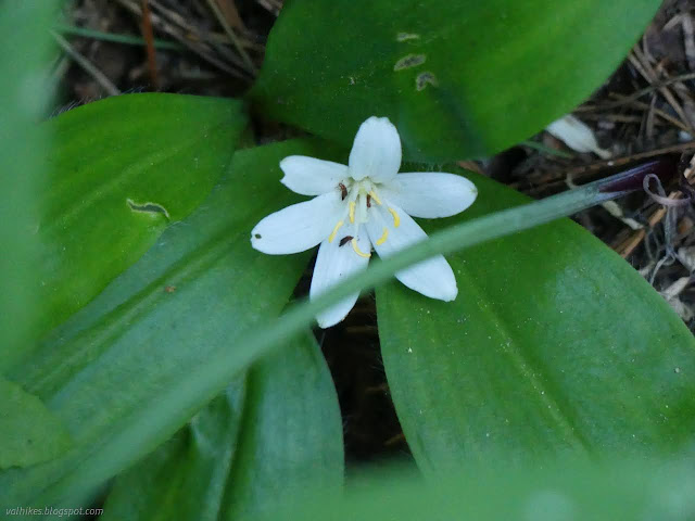
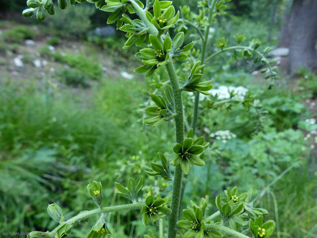
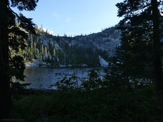
I'd drunk down a liter of water by the time I got to Paynes Lake, so good call stopping for it. The junction is signed and a well used trail comes up from road (supposed to be car accessible) a few miles below. The lake has at least a dozen camps along its edge. I eventually settled on something about halfway along, then walked to the far end of the lake where water comes in from Albert Lake for some camping water.

Same trip, next day ⇒
*the photo album*
©2023 Valerie Norton
Written 13 Sep 2023
Liked this? Interesting? Click the three bars at the top left for the menu to read more or subscribe!


Comments