Loleta Tunnel
Loleta Community Park
(map link)
I've seen that this hike is detailed in a couple news articles and blog posts and YouTube videos and Hiking Humboldt volume 2 and that it even has a geocache along it. It was seeing that the last barrier to the Great Redwood Trail has fallen and the right-of-way is now property of the Great Redwood Trail Agency (GRTA) that got me thinking more about it. It was seeing trucks marked "CCC" out on the rails clearing vegetation from the Humboldt Bay Trail, which is part of the Great Redwood Trail, that got me to come out and do it. On the drive here, I even spotted a sign claiming that the Humboldt Bay Trail - South was now under construction just south of the industrial park at Bracut. The north part of the trail currently ends at a missing bridge just north of Bracut. It all served to embolden me about this other little piece of the same right-of-way.
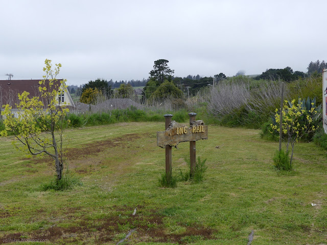
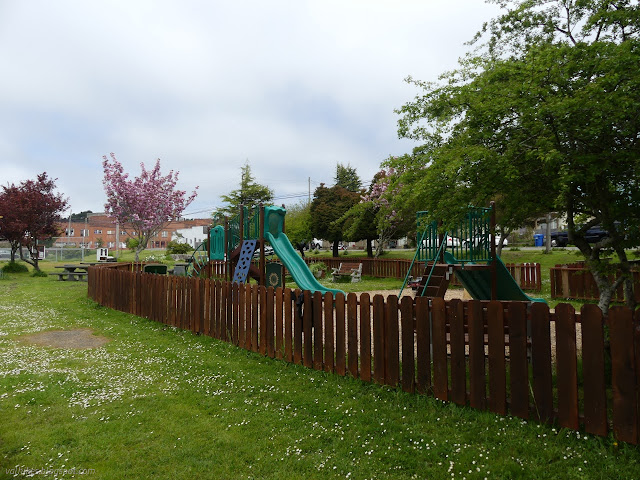
Loleta has been maintaining a lovely community park on the right-of-way between the tracks next to Main Street and Railroad Avenue. Somewhere along the line, they added the trail, maintaining it as far as the tunnel to the north. That was my target for the day. The park has a gravel parking lot which was quite full of vehicles with bike racks and mine joined them for a little while. There is obvious trail on the tracks heading in both directions. I went in the direction of the tunnel at first.
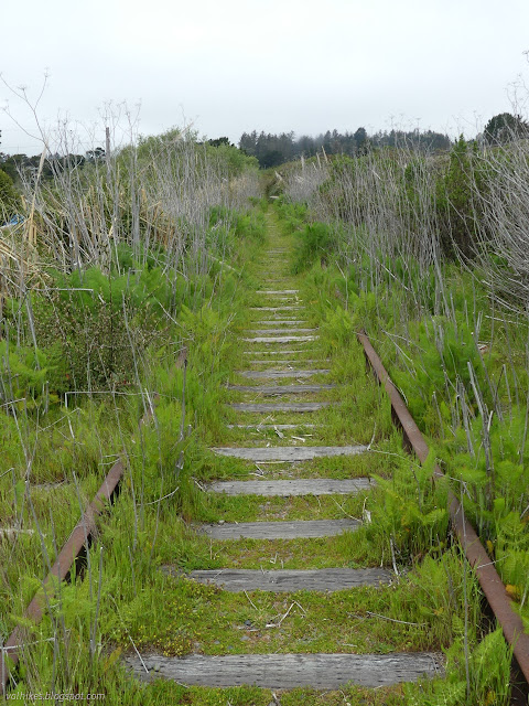
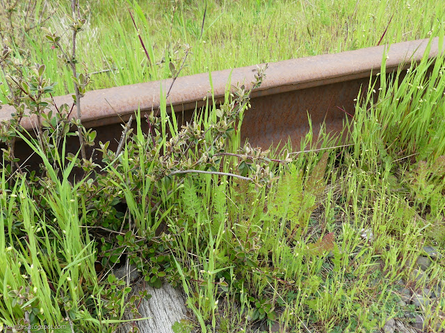
For a bit, the vegetation got thicker and closer (and the spiders to remove from the space between numerous). Someone probably does need to do a bit more than walk here to maintain it. This kind of green tunnel was all I was expecting from the pictures I'd seen online.
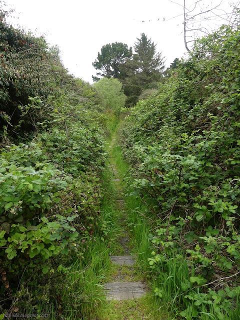
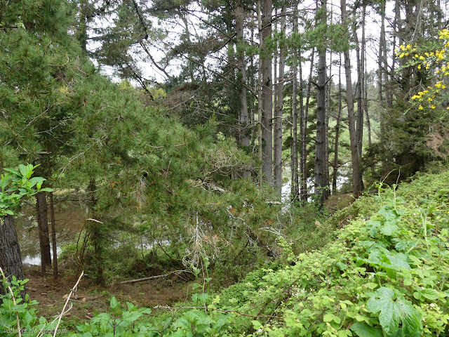
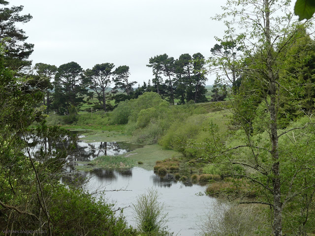
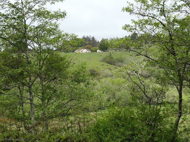
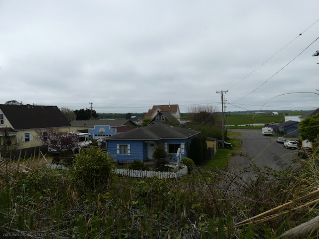
However, there is more offered here than a green tunnel. There's actually some nice views of the surrounding dairy farms. (Loleta, like Ferndale, is a long time dairy area.) It would have been even nicer had the expected sun came out to light up the landscape.

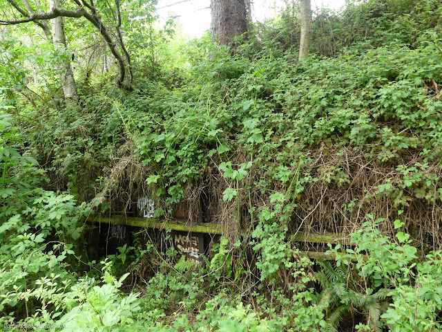
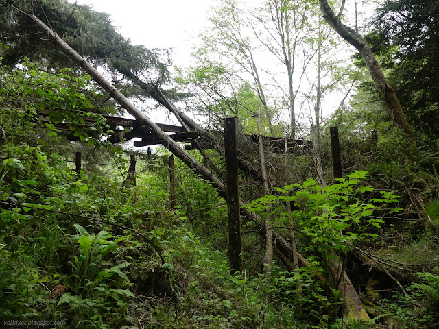
I got a little worried as I came to a bridge that, strictly speaking, wasn't there. The tracks were there and supporting fallen trees, but no bridge. The trail drops and crosses the stream on its own instead. It's all very sensible.

So I was feeling pretty good about the trail when I came to a fence stretching across the tracks without any gate. Private property signs were spattered across it. One expects there to be a few growing pains as the trail takes form, but this particular bit of trail should already have worked past them since it has been a well publicized already.
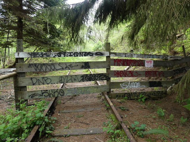
So that stopped me for a little while. I got out the communicator (AKA "phone") and found that the geocache was about 350 feet more and the tunnel itself maybe twice that. I was practically there. The private property signs simply said "livestock, no dogs!" in the note section. I eventually decided to take it all as strong discouragement against dog walkers. I don't have a dog. I went up and over and continued on to the tunnel.
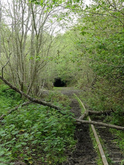
Sometimes disturbing sounds will be heard. When I was about 100 feet from the tunnel, I heard the sound of exploding gunpowder. I couldn't see anyone around and there was enough going on in the distance to believe it might not have been meant for me to hear. I looked for a culprit then continued on toward the tunnel. The sound did not repeat.
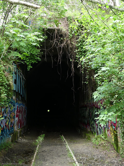
There was another fence, similar to the first, about 20 feet into the tunnel. It was also new compared to all those articles. Also in the articles is that the tunnel was renovated in 1960 as they then proceed inside. I kind of wanted to go through if I could then visit the Table Bluff Cemetery near the far end, but indications were that there would be vegetative barriers to that. Otherwise, I had no reason to risk a tunnel that isn't really all that recently maintained. I headed back, stopping to find and sign the geocache before climbing back over the fence.
I took another picture of the fence with my communicator to add to my geocaching log to warn others that they might encounter this and it isn't a legal barrier to their travel when a pair from the GRTA arrived to have a look at it. They weren't happy to see it. They weren't happy about the fence on the edge of the tracks, either. Oh, but they were happy to talk about the trail! They told me things I was pretty sure of, (there will be ground breaking on the Humboldt Bay Trail in May!) and things I wondered about, (nope, they don't have to try to do tracks and trail across the Eureka Slough,) and things I didn't even know I needed to know. (You know that longest tunnel on the Eel River section? The one that is over a mile long? It's a huge bat home these days. Also not particularly safe for humans to enter for various reasons. Better for the bats if you don't, too. Also, over a mile walking in the dark is probably going to get old, especially with all the other tunnels. But The Wildlands Conservancy, the folks who own the Sounding Seas Dunes Reserve on the south edge of the mouth of the Eel River, also own the land around the tunnel and are eager to get a walk around constructed. It'll be a while to get the rest of the trail connected to it, so likely to mean a long drive to check it out, but it'll be there.)
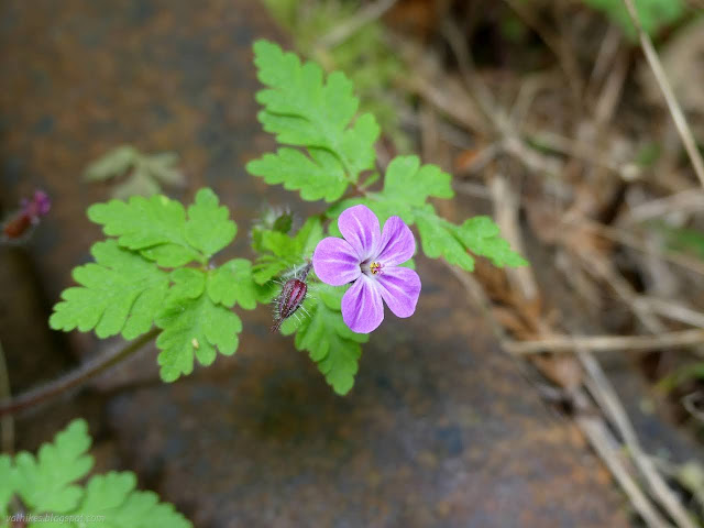
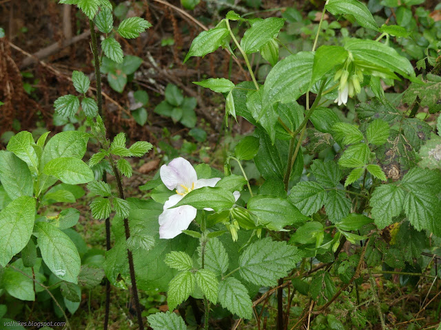
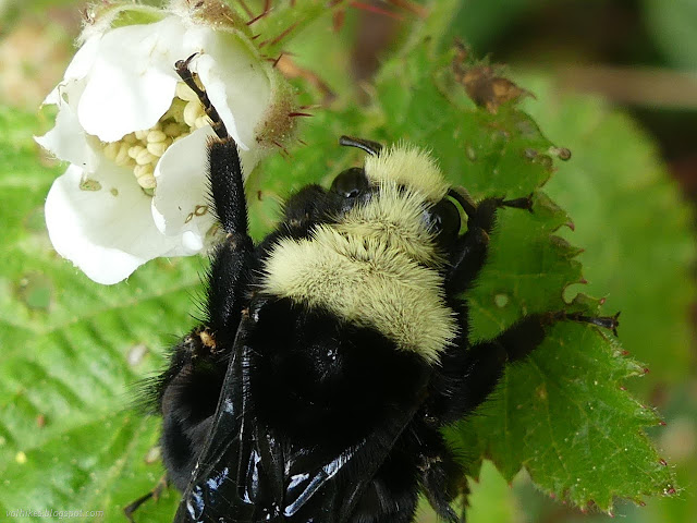
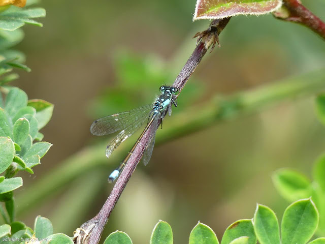
They did eventually get free of me and my questions as I slowed to take pictures of flowers. There's a lot of flowers blooming at the moment although other than the trillium, they are invasive.
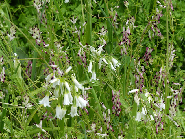
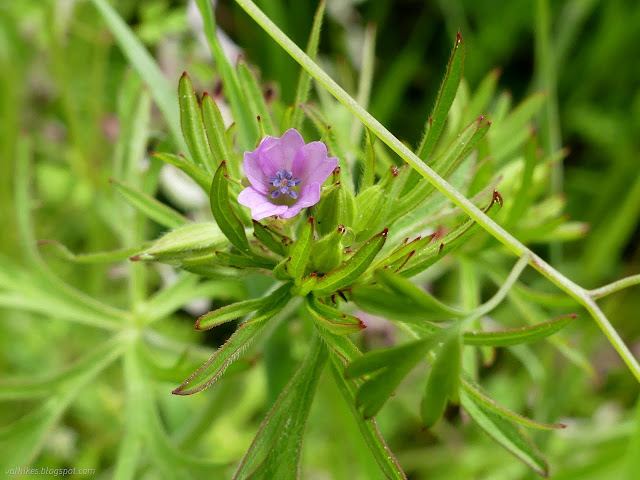
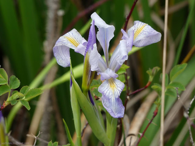
Arriving back in downtown Loleta, the tracks split. The switching hardware is almost totally hidden in the grass except for the rail coming across the middle.

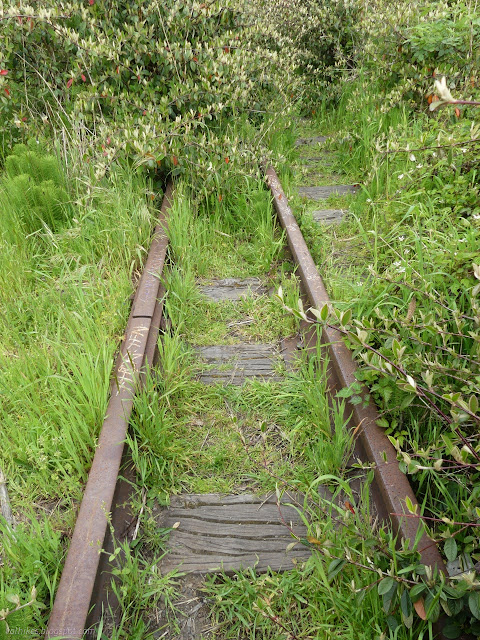
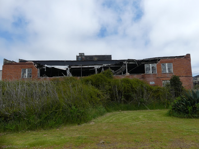
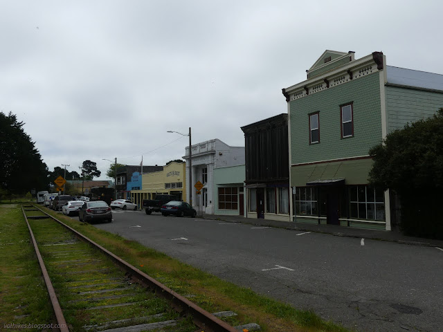
Back at Loleta's lovely little park, I decided to increase my tour a little by seeing where one can go to the south.
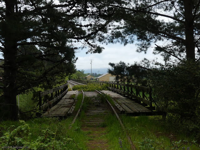
I got as far as the lovely, long bridge that crosses busy Elk River Drive then drifts downward at railroad grade. I seemed to be playing it safe, so simply observed the long, wooden bridge from the edge, much like the tunnel before.
And so I wandered back to finish. The rest of the lot was empty again when I left. I have no idea where the bicyclists went riding.
*Loleta album*
©2023 Valerie Norton
Written 30 Apr 2023
Liked this? Interesting? Click the three bars at the top left for the menu to read more or subscribe!


Comments