Wetlands Trail to Milwaukee in Samoa Dunes
Samoa Dunes State Recreation Area
Click for map.
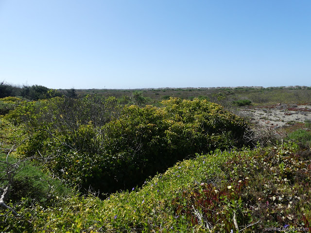
I decided I would go and visit Humboldt Bay's first lighthouse. This one was set on the North Spit and was soon deemed too low, which prompted the building of a replacement up on Table Bluff. I aimed at it once before and didn't quite make it. Then I wanted to meander over to the wreck of the Milwaukee at low tide. That was only expected to be -0.4 feet and it really needs to be -2 feet (which happens in the summer) to see everything above the sand. I figured it sticks up a bit and I would see something. It isn't exactly the hills I need, but there's some sand dunes. You get to go all over them. Be aware, you are sharing them with OHVs, but it is pretty common for people to walk them as well. I followed the signs for the staging area on Bunker Road and found plenty of parking, picnicking, and why it's called Bunker Road. On the south side of the parking area is a sign marking the Samoa Dunes Wetland Trail. It follows a small loop in an island reserved away from the OHVs and the remains of the lighthouse are found along it. That is where I started.

The Wetland Trail can be wet, sometimes even in places where there is no boardwalk. It was completely dry as I went around it. At the split for the loop, one side is marked trail and I followed along left obediently. It got dim in places, but never totally obscured.


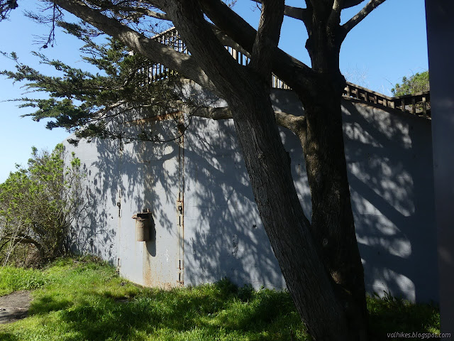
After the Wetland Trail, I crossed the parking lot to a much smaller loop where paving and boardwalk climb past interpretive signs to the top of one of the many old ammunition bunkers from WWII that dot the area. That's why it's called Bunker Road.


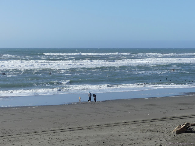
Those loops finished, it was time to wander over to the Milwaukee. I headed out on the main path to the beach and turned right. I figured it was about 2 miles north along the beach.


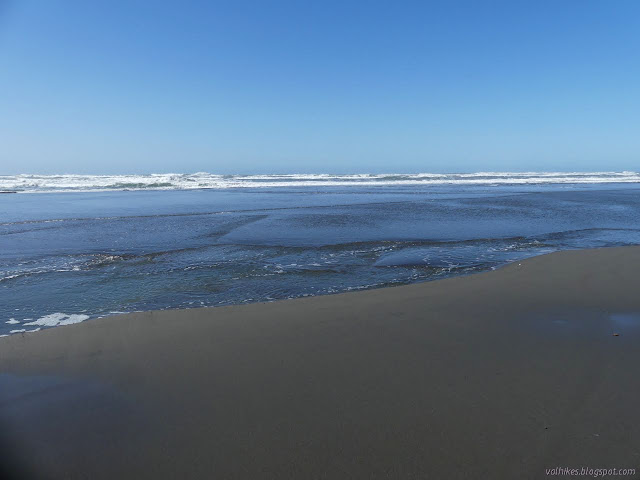

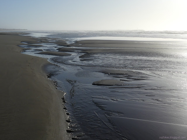
Not all of the beach is a wide expanse at low tide. The waves seem to be working on some areas more than others and eating in toward the roads and other infrastructure. The changes can be quite abrupt.


I thought I'd gotten to the wreck, but couldn't see anything. I popped up to the well used parking area above and couldn't find the monument. I still needed to go 3/4 of a mile to find it, but it was visible once I did.
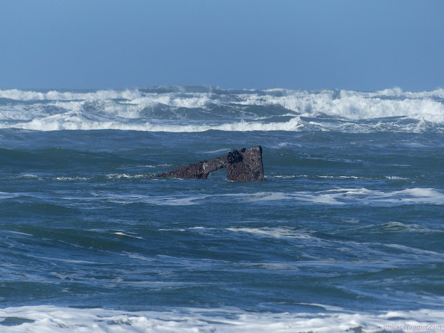
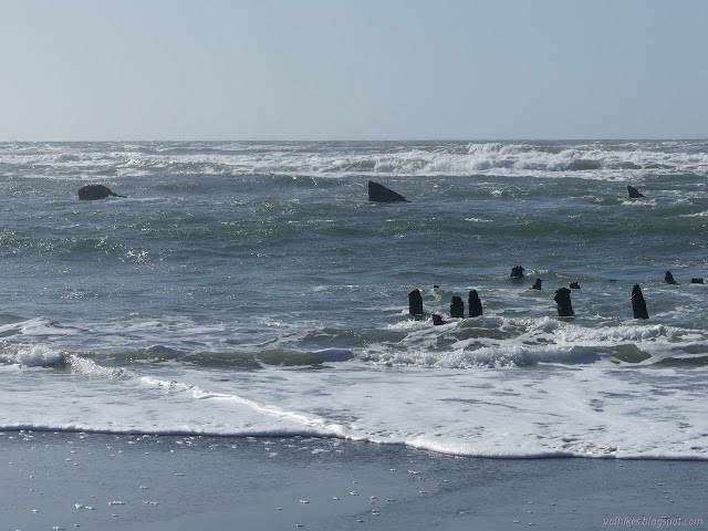
The USS Cruiser Milwaukee was trying to get a beached H-3 submarine back out to sea when it fumbled and went aground itself on January 13, 1917. Except for getting stripped of useful metals in WWII, there it stayed. The submarine got rolled and skidded on logs over the spit and launched out into the bay, an offer that was already on the table prior to the accident, but deemed unrealistic. Now it is reportedly sinking lower into the sand.
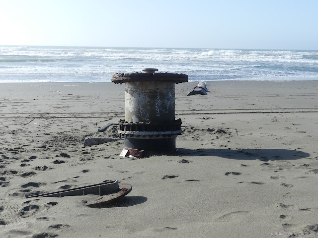
I walked up to see the monument by the road. It isn't much. No one actually died in this debacle, so it is only to the ship.

I wasn't sure when exactly low tide was for that exact spot, but it seemed like the water had come up a little since I started watching the waves wash over the metal fins that remain. I headed back, taking in some of the other wrecks on the beach.

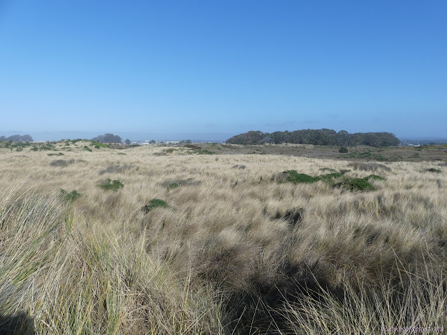
I had started out my return in the dunes, but dropped back to the beach because it is such a narrow section beside the road. Once I got into wider portions of dunes, I tried them again. It was nice little ups and downs, but the loose sand where people drive was a lot of work to walk in, especially when it came to those steeper ups.


Once I had enough of the work of trudging through dry, soft sand, I dropped back to the beach and the wet sand. I may have been too quick to leave. The tide was much lower than when I had passed the first time. I could track exactly where I took photographs of the wave powered stream flowing across the sand.

There were about five vehicles out on the beach when I got back by the bunkers and had to regain the dry sand. I guess that's just a sensible thing to do of an evening. The lot was rather empty in contrast.
Note: I've linked to a lot of photographs of the Milwaukee and the H-3 submarine, but there are many more to be seen. I found them by searching the Naval History and Heritage Command site for "Milwaukee Samoa" for the cruiser and "H-3 submarine Samoa" for the submarine. I got there from an North Coast Journal article but the links are broken. If mine also fail or you just want to see more, now you know the way.
©2021 Valerie Norton
Written 31 Mar 2021
Liked this? Interesting? Click the three bars at the top left for the menu to read more or subscribe!


Comments