DeMartin Section of the California Coastal Trail
Redwood National Park
Del Norte Coast Redwoods State Park
Click for map.
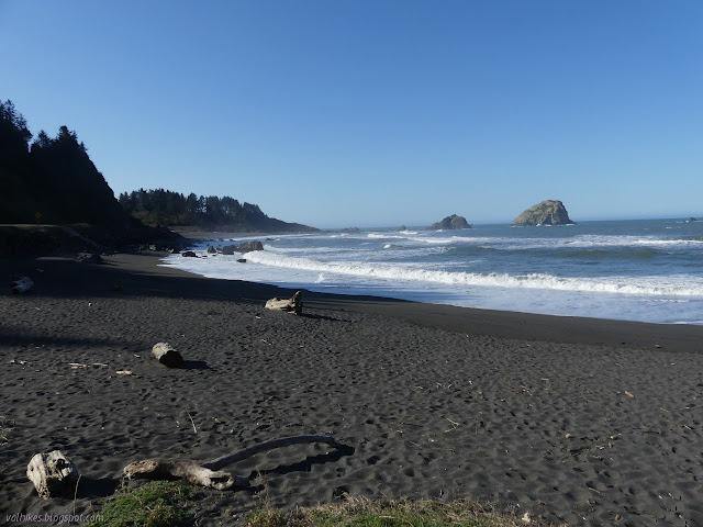
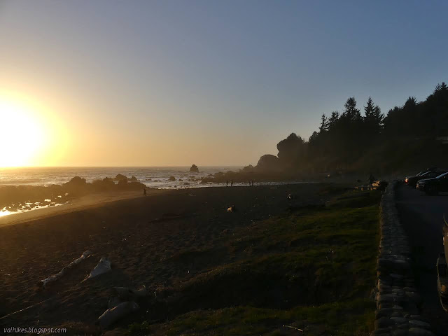
I spent most of a day working up a map of the California Coastal Trail as it exists between Arcata and Crescent City and I got to wanting to get that last* bit of trail along the DeMartin Section hiked. It's not like I can't come back to see the rhododendrons in bloom if I hike it now. It's good to see a trail in different seasons. This is the one part of the trail that is further inland than US-101, so it might even have some of those hills I've been wanting. I got an earlyish start and found my way to the beach parking beside Wilson Creek to start. (*There is actually one other piece of trail I haven't been on: Enderts Beach Section. This is a short section that parallels road and I probably won't bother with it. If I had a temporary base near Crescent City, it would get included in the places to explore. The 80 mile drive just for it doesn't seem worth it.)

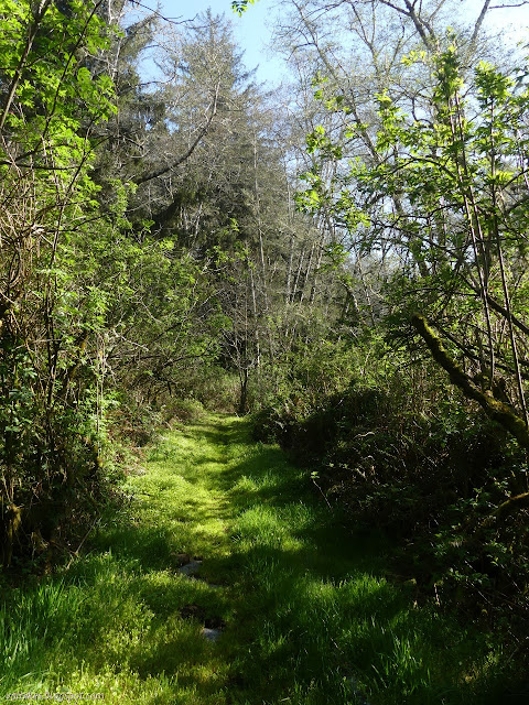
There's a sign marking the California Coastal Trail just the other side of the road and there was a route that avoided walking the highway, but it is reported to be completely overgrown. You just have to walk the bridge. Last Chance grade is a mess of slumping road with constant construction and single lane traffic somewhere. This day they were blocking off the right lane for it, so I immediately crossed the highway and took that blocked lane all to myself. There really isn't a lot of space otherwise. On the far side, there is another sign marking the trailhead and a trail that is distinctly not overgrown.
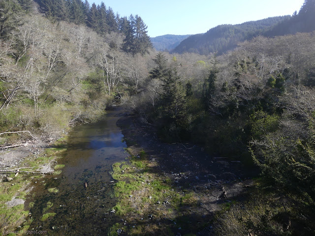

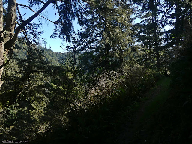
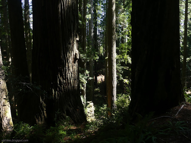
The trail slopes downward along old road. The Forest Service map shows it making a turn and crossing Wilson Creek just past where the trail turns up instead. It was probably an established bridge bypass road and, in spite of the faded but good paving showing up sometimes under the inch or so of dirt, the overgrown non-highway route. Once the trail turns up away from the creek, it is full of roots and otherwise distinctly not old road although still wide. I found myself enjoying the thick temperate rain forest pretty quickly as I climbed.

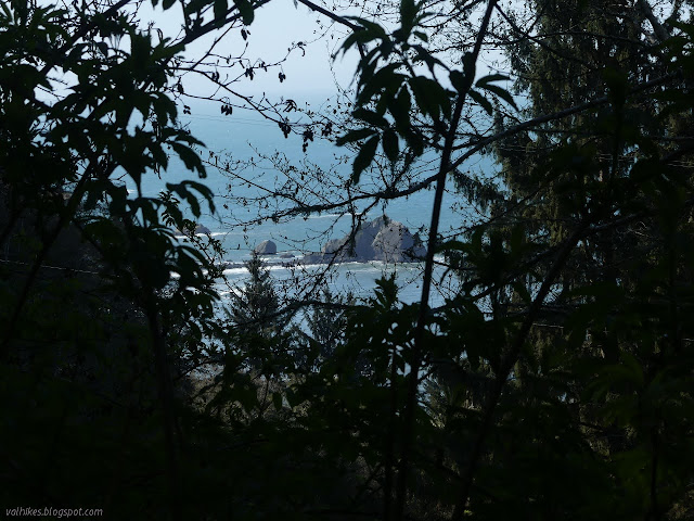
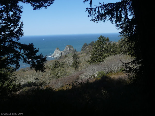
There are trees down in a few spots along the trail and I quickly came upon the first. It took a little clambering, but none completely block a hiker's passage. I enjoyed little glimpses of the coast as I climbed upward. Things did get confused as I found myself in an open space under power lines. Distinct trails head upward and downward. I tried the upward one and although it turns away from the power lines and through the growth, it did seem to be rapidly devolving into bear track. I returned and a few steps further through the grass under the lines, I could see another break in growth that seemed wider and proved to stay that way.
It drops again with glimpses of the timber lands to the east. It didn't go quite so far down as I feared. It looked like it was dropping for another creek outlet, but everything east is drained by Wilson Creek.

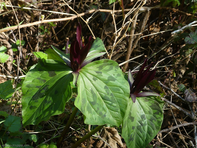
There were blooming trillium along the way, but trillium is passé now, at least until they get old enough to start turning from the brilliant whites that currently dominate. Then I saw the giant purple wakerobins, some so dark they were nearly black.


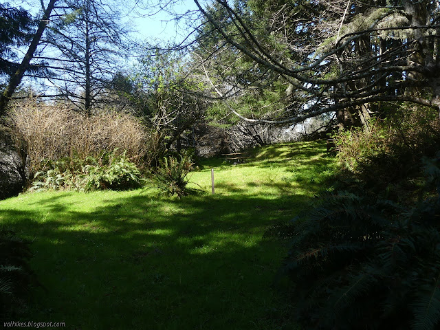
I came upon DeMartin Campground, which looks posh. There's tables and bear boxes and fire rings, often with firewood provided. It was hard to miss as site 9 is right on the side of the trail. I followed the site trail in to look around. All nine sites are set up with their own amenities. (I know Redwood National Park says there's ten sites, but I challenge them to actually find site 10.) Site 8 does seem to have gained a fallen tree down the middle, which isn't so nice. There's a composting toilet down by the main trail into the camp. The only thing is, there's no water, nor had I seen any water I would expect to still be flowing well into summer since leaving the beach next to Wilson Creek. There was once a water system, but I saw no sign of it now.
I headed out on the main camp trail and got back on the California Coastal Trail. Shortly after, I came upon a well signed junction that didn't bother to mention what was coming up from the road. I expect it's the half mile access route that comes up directly from the road. It does mean there's a short way to hike water up and stash it for yourself, if you like. I didn't try out this spur. I kept on going up.


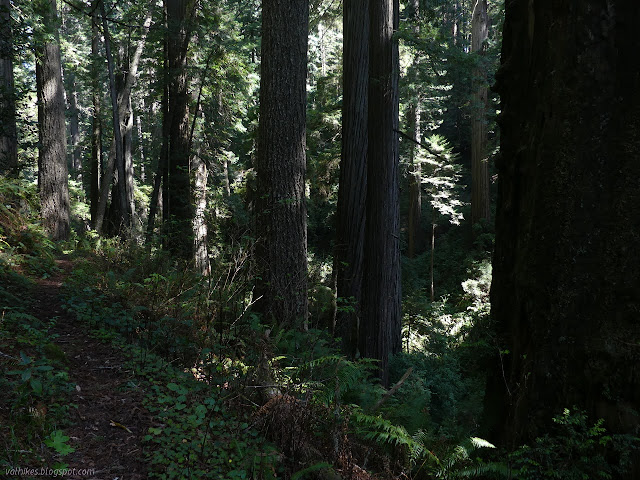
The trail got a little choked with salal for about 100 feet in a location that suspiciously resembles the boundary between the national and state park. Not too much further, I spotted the first redwoods. The trees get bigger as the trail wraps around the hills to the east side, away from the ocean. It is a drastic change in character.


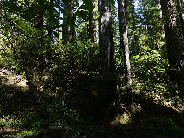
The trees got bigger as I went. I started wondering where the rhododendrons were, but then I looked up. They weren't at the edge of the redwoods, but they were abundant a little way into the forest. None looked like it was even thinking of flowering in a month or two.

So I wove my way back and forth, but largely on the level, along the steep hill sides. There's no water along there, either, although I think I heard some below once. Getting to it would have been a challenge, but not so much as getting back. I eventually ran into memorial grove signs, so I knew there wasn't too far to go.

There is one last gully to pass to get to the highway. I could sometimes hear water in it over the drone of a few miles worth of northbound vehicles just released from the road construction. I could only see a small stream while going over the bridge. There was a very accessible flow coming down from the road just before what looks like a stack of tree trunks used as fill for the road bed. The turnout I parked in to hike the Last Chance Section had three work trucks and a black truck that might have been the one with mountain bikes I was following for a while before starting the hike. (Bicycles are allowed on Last Chance but not DeMartin.)

I waited out the last of the traffic and crossed to try out the last little bit of trail I hadn't yet done. There is a sign for the trail on that side. It has to climb a little over a thin ridge to connect with the old road it continues along. The other option is a shoulder free bit of highway, so it's an improvement.

I had nibbles at the end and enjoyed the near quiet and the waves. It was getting a mite late, so I turned back before too long. I could see the road as I went. After the turnout I parked in before right by the first "daylight headlights" sign, there is a small turnout then a larger turnout that is the one with the trail crossing. That's what I need to know for a return to experience the rhododendrons. Del Norte Redwoods State Park actually refers to the north three miles of DeMartin as "Eastside Rhododendrons" on their hiking page. Last Chance has another about three miles or so that should erupt into blooms.

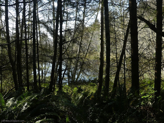
I watched for water once past the camp again. There are signs the hill side is soggy in places, but I only found trickles. I also found four frogs and spotted the pond on the map through the trees. I've seen information that even that becomes nothing more than a mud hole. There's a nice flow about a mile south of the camp, but the size of the game trail suggests it wont last through the summer either. It would take some minor brush clearing to get to it.

Oh, and I accidentally found a house just off the trail when I followed a bear trail up and over the little bit of ridge for a snack and a small rest. Guess it wasn't a bear trail.


My GPS claimed 7.25 miles out, which was a little longer than advertised. It claimed 14.5 miles to finish, so that would somewhat confirm it. There was also 2000 feet of gain overall, but it still didn't quite feel like the hills I was wanting. Still a good hike.
©2021 Valerie Norton
Written 3 Apr 2021
Liked this? Interesting? Click the three bars at the top left for the menu to read more or subscribe!


Comments