Trinidad Head Lighthouse and Old Home Beach
California Coastal National Monument
Trinidad Coastal Land Trust
Click for map.
I didn't get to see the lighthouse (or properly visit the national monument) so I came back the first Saturday of the month. The official web site for the California Coastal National Monument is no more specific about when the gate is open than that. On the AllTrails page for the hike, it claims the gate is open 11AM-5PM. I hadn't actually checked as I went past a week before, but there's a sticker on the sign on the gate that says 10AM-2PM. I went out slightly late according to that sign for an afternoon in Trinidad and found the parking lot to be quite a negotiation. Half of it was blocked off with floats connected by thick chains to what looked like highly corroded engine blocks. There's actually more spots on pavement toward the harbor, but I found one in the dirt.

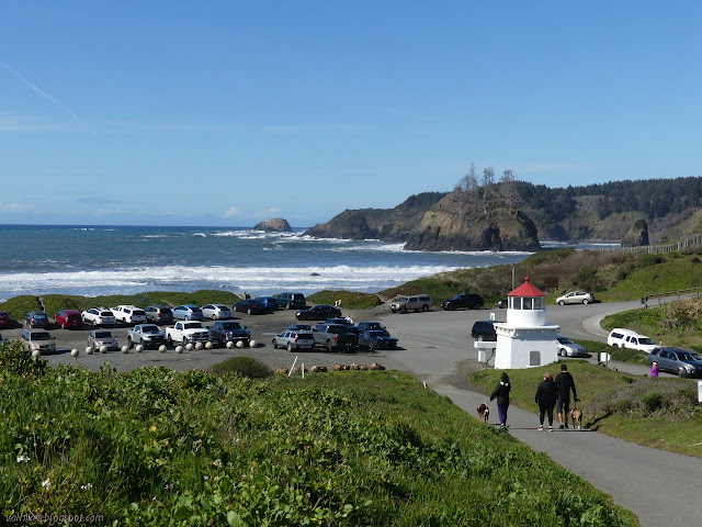
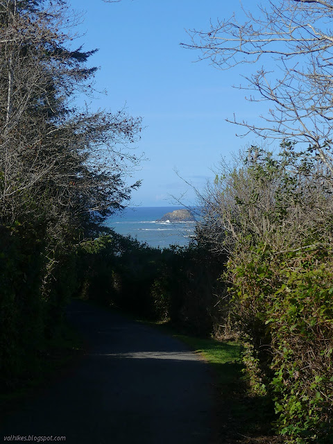
I headed up the road toward the lighthouse on another stunning day between rain days. The road is paved and generally smooth, but can be quite steep in a couple spots, so might be a challenge for anyone looking for an accessible path.

I found the gate open at 2:15PM, paused to notice the times listed on it had passed, then went through. It's reasonable to think that they'll shoo people out before locking the gate. It's just a long, flat curve around to the real lighthouse at the end of the road.

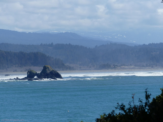
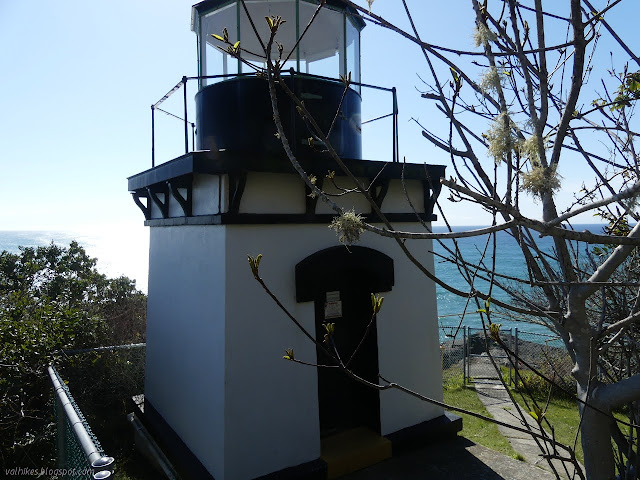
I had seen that the memorial lighthouse is a replica of the real thing, but hadn't realized it's 1:1. It's just a little thing! The light sits high on the cliff for its height. Also, there's one more sign on a gate, this one with the hours 10AM-12PM. That one was locked. I'm not sure if it opens or not, since this is a working lighthouse still. It was blocking what I suspected was the best view on that edge.
I had to contend with the substandard view spots a few feet from the best seat in the house. That's probably not all that much of a hardship.


Some other people came and I left them to it, heading back down.
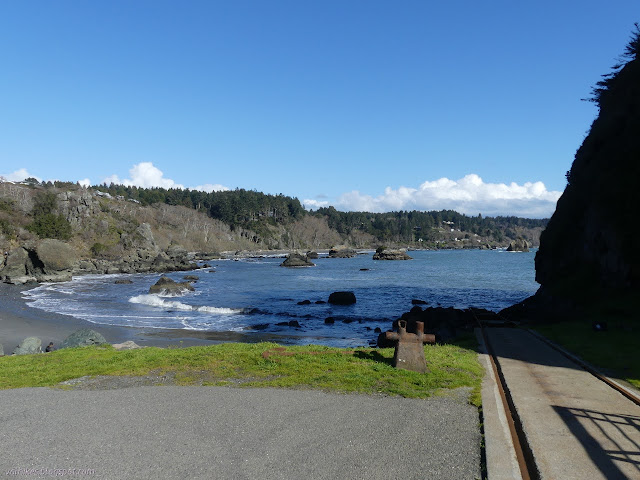
I headed out onto the pier next. It's a working pier, but there was no one working it. There was a family fishing. Mostly there were just people out to walk and look.


Then I checked out the little beach next to the pier. There's a small point blocking travel after a short way, so it didn't take very long. The beach is mainly for launching and one family was even out doing that.
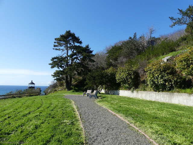
Then I started wandering the little trails that are around the harbor. There's steps up to the street above and then a scampering trail between streets that got me to the place where the memorial lighthouse used to rest.


There are steps below the memorial. A sign warned me that they had deteriorated quite a bit, but I went for it anyway. It was not exaggerating and the trail took a little care in the middle and a lot of care at the end.

Since I did manage to navigate the steps, I got to explore the beach. It's a little bigger and a little more geared toward leisure.


I had to have my shoes off to cross Parker Creek.

I found the Parker Creek Trail on the far side of the creek. It was much easier to travel.


The trail crosses a driveway on the way and a sign indicates one might follow it out beside Parker Creek. I didn't do that. The trail splits further up and I took the right hand side to Parker Creek Drive far enough up to see where people were parking. They were all head in along the side of a field Then I headed back and took the left side to Wagner Street instead, where there is no parking. In fact, there are signs to make you worry if you should even be walking there on the public trail and then out on the private road. What a difference a road makes.


The benches along the road at the edge of the cliff were full of people and more were on blankets on the small patches of grass. All were looking out on that beautiful ocean. I found the dingy out there with father and daughter sitting with fishing poles deployed.

Rocks with plaques to commemorate bits of history also line the road. One was for the village of Tsurai, which was near Old Home Beach. Another was to the town of Trinidad, which claims to be the oldest town on the northern California coast and was the county seat of Klamath (back when there was such a county called that).

I followed the roads around back to my parking in the mud.

©2021 Valerie Norton
Written 11 Mar 2021
Liked this? Interesting? Click the three bars at the top left for the menu to read more or subscribe!


Comments