Freshwater Lagoon
Redwood National Park
Click for map.
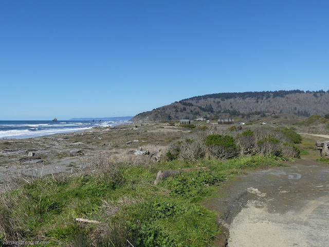
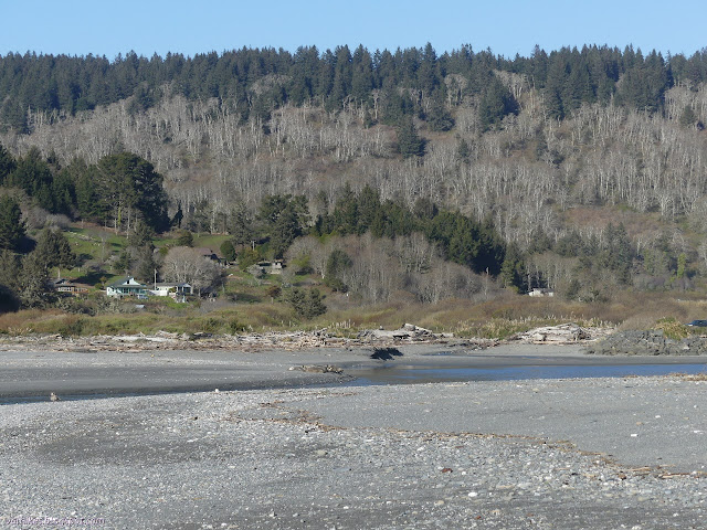
I stopped at the parking lot just outside of the gate for the Thomas H. Kuchel Visitor Center. (The gate is locked at 5PM, so inside is not a good option.) I figured I'd hike the beach over to the Gyon Bluffs to check out what they look like from the north, then cross over to the lagoon and hike back. After, I could loop around the beach to Redwood Creek, then back along a boardwalk. There's parking all along the side of US-101 above the beach, so there's people scattered all along the beach too.

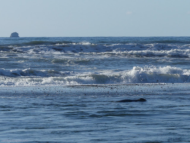
Signs all along the parking by the highway illustrate that this is a particularly dangerous beach due to the way it drops off steeply just under the water. They indicate the waves will pull you down under along that slope and keep you there. The warning of strong undertow (and rather somewhat chill weather) was keeping everyone but a tight group of four surfers out of the water. They seemed to be out for practice. They caught waves frequently and then rode them for about 3 seconds before dropping out and swimming the short way back out.

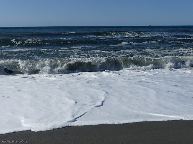
One woman with two young kids may have taken the signs a little too much to heart for the current conditions. She didn't seem to want to be anywhere near where the waves might wash up, but still wanted a look for everyone. Maybe she was just scared of the ocean. Oceans are big and worthy of fear, but it's alright to touch the foam when it is calm.
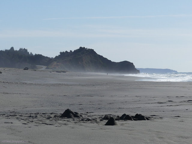

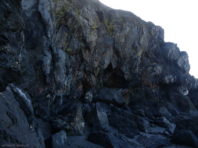
I found the bluffs to be just as impassable as they were a week before from the other side. Also, they have a tunnel through them right at the end. I waited a little to see if the tide would go out far enough to more happily explore it, but of course it didn't. Splashing over would have been reasonable, but I didn't.

I have seen what looks like a bulldozer track up the side of the bluffs, so I followed that up to see what trails might be there. It is an orange clay and was just dry enough not to be slick in most places. At the top, there is a small use trail winding through the brush. I pushed my way along it a short way and turned back. It has branches that step out to look over the edge and I paused at one which wasn't so interesting a view.

I made my way down carefully and nearly slipped anyway. I started along the parking area, then decided to try my luck for going along he side of the lagoon. I crossed the road and found a path down to it, but walking along the edge didn't get me very far before willows tried to push me into the water. I couldn't go along the side.

I had to go back up and walk along the highway. It has a large shoulder along that section, so it could be worse. There's a road to use for boating on the lagoon that I followed when I got to it. It follows along about half of the lagoon that the highway follows.
I crossed back over the highway and took the same trail down to the beach that I had taken before, this time wandering to Redwood Creek. There were clues with the light and angle to suggest that it's really not very crossable at the moment. The seals were still hanging out at the edge.

I crossed the South Slough almost as easily as I had crossed the North Slough earlier. This one actually used to be the last turn of the creek, which follows the channel of the Middle Slough now. The old channel is more of a lagoon.


I climbed up onto the levee then followed a little trail east from it. It branched off to the beach again, but I followed it through a little Sitka spruce forest. The South Slough gets steadily deeper going upstream. It also has flow, so it really is upstream. I eventually splashed across it quickly. If I'd brought my poles, I'd have probably tried to balance on the little logs that offered drier routes across.

There was very little view of the bulk of Sough Slough as I made my way to the boardwalk. There should have been a good view from the end of the boardwalk, but someone seems to have purposefully rendered it unusable. The boards have been taken up as it goes out over the water. The handrails have been cut away. Boards have been added blocking both sides. Willows and blackberries have been allowed to grow across it. So much for checking out the boardwalk.
The rest of the boardwalk isn't in much better shape. All the boards are still there. They're actually nice and solid too. The willows and blackberries reach across it to make it hard to continue. It seems like there might be a steady flow of people who try to loop around and branches are broken enough to allow passage. There are trails off the sides going around large willow branches. When I could see the visitor center roof, I also saw trail cutting over to the road past the parking lot. I didn't guess it would be the boardwalk that would be hard to walk. I almost got through the day without getting stabbed by blackberries too. The rest of the way back was nice and easy, including around that locked gate to the outside parking.
©2021 Valerie Norton
Written 22 Mar 2021
Liked this? Interesting? Click the three bars at the top left for the menu to read more or subscribe!


Comments