Hope Lake
Uncompahgre National Forest
(map link)
The Forest Service seems to be uncertain if it is Lake Hope or Hope Lake, but more certain that it is the Hope Lake Trail. It consistently marks the road up to the trailhead as a 4x4 road, so I parked in a turnout at the bottom and started up, getting increasingly grumpy about how it is a rather good road with a loose rock here or there. I chatted with some campers about how it was probably great all the way up, but they'd gotten to their rather brilliantly picturesque site and been sufficiently mesmerized by it not to continue on. Talking with them got me sufficiently emboldened to actually stick out my thumb at the truck that came by as I finished the chat. When you're going 5 MPH anyway, it's easy to stop, and he did. Greg was going for the hike too and actually wouldn't mind having a buddy. The road promptly turned to something it wouldn't be wise to try the Scion on. With good judgement, I probably could make it, but there would have been more than the usual risk involved. The best judgement was not trying.

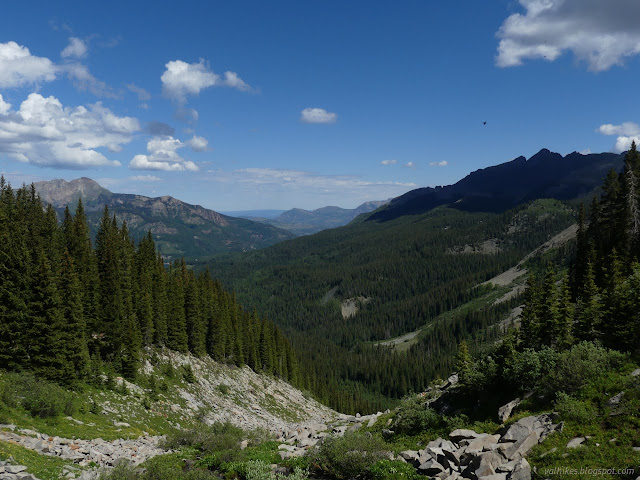
So getting to the trailhead ended up a little faster than expected, which is always good when rain is expected for the afternoon. This is a popular trail and the little bit of parking next to the sign was already occupied. There is enough room for a bit more on the road and a small parking lot has been built just short of the trailhead. There was plenty of room on the midweek day, but who knows what the weekend or a day too near a festival in Teluride might look like.

The trail initially wanders through trees with some little bits of view. The crossing at Poverty Gulch took a little attention to keep the feet dry. Trees, not much bigger than sticks, were placed across it. I went for these with walking sticks to help while Greg showed there was a more sensible rock hop further up. Lake Fork was split into many smaller pieces that could be handled more easily.

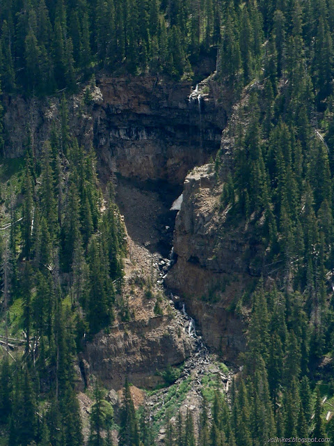
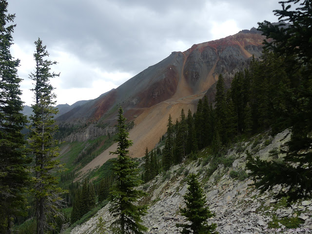
These, I am pretty sure, become the waterfalls I saw from Sheep Mountain, the larger being Lake Fork. It is a long way down from where the trail crosses, which is significantly higher than where the trail is shown on the Forest Service map. I wasn't ready to go trying any cross country to see it. It didn't look like particularly easy country to cross. There are lots of other waterfalls to ponder anyway.

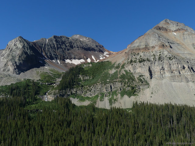

The big waterfall is spring fed, and it must be quite an impressive spring too. Smaller waterfalls and cascades were coming down closer cliffs.


There's a bunch of little switchbacks to climb to get to the lake. Unfortunately there are a bunch of extra trails cutting those with a few spots of trail falling away because of the inappropriate (and illegal) switchback cutting.


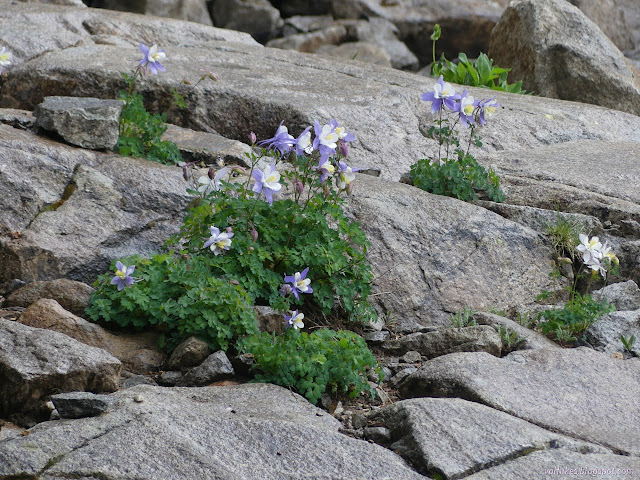
It took a little more wiggles through the open valley full of flowers, over a rise with a puddle of a pond full of water, and down the other side to get to Hope Lake. The first look was, well, not exactly hopeful.

We sat and ate a little and pondered the meaning of such a low lake. It must be running out a plug hole at the bottom. The area is in draught, but this is almost dry. Cascades of water are pouring in from springs high on the mountain. It is not quite so much as coming down the other valley, but still a lot. I wonder how San Miguel can pour out so much water so high up.


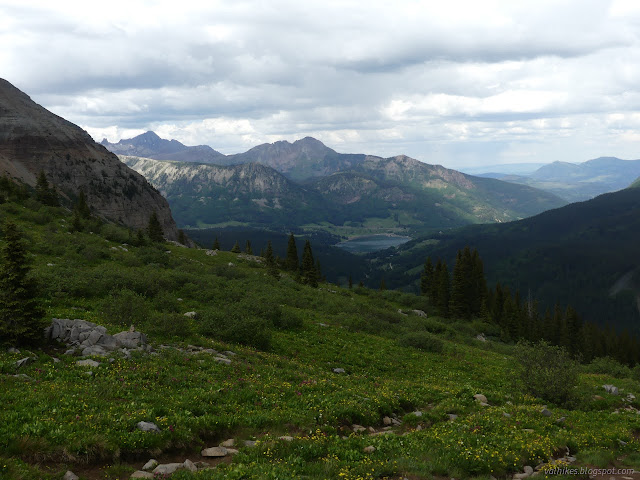
I had planned to probably go on to the saddle above the lake and get the new view there. The sign at the bottom says it is only 0.7 miles. Greg, who had been to a few of the harder to reach spots (like that big spring) but not to the saddle was game to go on.


It was an excellent new view, although the other view had spoiled me enough to rate it, well, not quite as good. We did try to give it its due and there were rewards. We also spotted quite a few hints of the mining that was once performed here.
I almost forgot to look for the benchmark the map claim is at the pass. It was in the rocks next to a prospect.

The weather was very visibly turning toward rain, so we got moving downward among sprinkles that came and went.


We paused at the low lake again as the weather paused in getting bad, but not long. Down we went as people continued to come up in the little bit of rain.


The rain got harder as we got to the trees, but still not hard enough to more than contemplate if a rain coat might be needed eventually. We had the trees by then anyway.
So down we went in light rain that would get a little heavier for short times wondering at the people who were still coming up. Just getting started now, and in the rain? But we'd actually already weathered about the worst the day was going to throw when we reached the trailhead still without any raincoats out. Then I even got to have a ride back down over the two miles of rough and not so rough road.
*photo album*
©2022 Valerie Norton
Written 24 Jul 2022
Liked this? Interesting? Click the three bars at the top left for the menu to read more or subscribe!


Comments