Narraguinnep Fort
San Juan National Forest
(map link)
I missed Narraguinnep Fort because I had some thought that there would be a turnout along the road past the intersection, but the intersection is the optimal place to stop. A road continues to the fort if you want to deal with the gate and can handle sufficiently rough road. It really isn't far to the walk instead. I pulled over where the road was wide and I was sure I could get out again and made my way down.

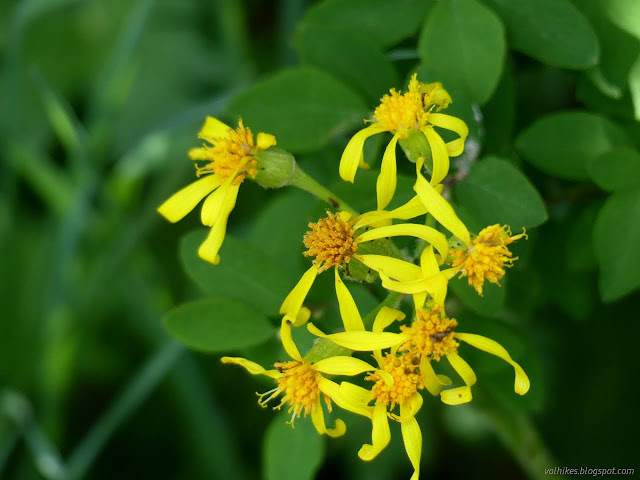
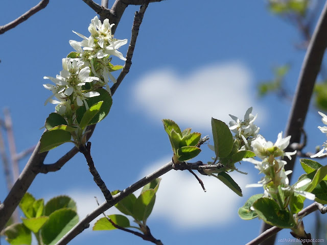
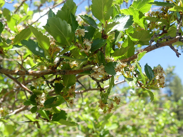
As above, there were lots of flowers. I immediately found many, some of which I hadn't seen yet in the day's walks. It's a different elevation and a different environment.


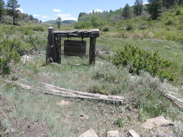
Now there is only a sign marking the fort. The "fort" was built in 1885 and the sign placed in 1942 (then part of Montezuma National Forest), which makes the sign more historic now than the fort was then. When it was placed, there were still one-two layers of the three layers of roughly three foot logs that were felled and stacked to create a defensive position around Narraguinnep Spring. I hoped to see some little bit of remnants of these logs, but everything rotting away today looks like it was never so large. It looks like it would be hard to build another with what's growing today, too.

The fort's short history started with the Beaver Creek Massacre, the last major conflict between whites and Native Americans in Colorado. White cattlemen came upon a hunting party of Ute Mountains Utes and killed them. The hunting party had the legal right and likely necessity to be there. Following this, a homestead was attacked, likely in retaliation. Cattlemen banded together and came here to build a fort for defence. As I said, the walls where three big pine logs high. They chopped out port holes between the first and second logs all the way around. They roofed it over with smaller logs and dirt. Then they cowered there for a couple weeks before going on home, unchallenged. I'm not entirely sure what is meant to be commemorated here. White mans' fear seems to be the actuality.

And while I would like to know how you get such large logs stacked up on top of each other in 1885, Colorado Magazine basically reprinting a press release from Montezuma National Forest in 1942 (my resource) doesn't get into that. So I turned to find the rest of the road as mapped by now San Juan National Forest. I'd found a blog trying to record hiking opportunities around the four corners area, which admitted that this particular area had absolutely no trails to hike, but was willing to grasp as a few straws. One of those was taking three miles or so down this road. I couldn't find the road immediately, but could see it on the other side of the creek. I found a place to cross over and followed the road down the canyon for a while.


I didn't find the spring while I was at the fort and the creek was dry where I crossed it, but there are spots with water lower down. Maybe the first one marks the spring.


I stopped on a log in the shade about a mile down. It is a nice enough stroll and perhaps it gets into some interesting country by three miles, but I was about done. I had some lunch before heading back the way I'd come.


The road, of course, had been rerouted and joined up with the main road without crossing the creek. Fords do have an ecological impact and are best avoided.
*photo album*
©2022 Valerie Norton
Written 24 Jun 2022
Liked this? Interesting? Click the three bars at the top left for the menu to read more or subscribe!


Comments