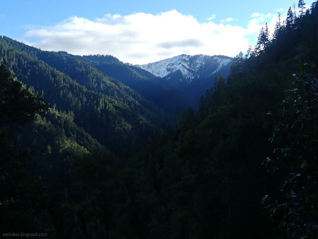
Lowest: South Fork

Lowest: South Fork Six Rivers National Forest (red for day 1, click for map ) DAY 1 | DAY 2 Back to South Fork Trinity River, but this time on a familiar trail. I hiked this trail in spring of 2020 . That was a day hike determined to get as far as the ford. This time I was determined I would cross that ford and see the rest of it. The plan, assuming all is well with the trail, was to hike to the road at the far end, about 9 miles, then return to some camping area. Grouse Creek looked promising for that camp. To that end, I packed for the overnight. Great big parking area at the end of some decidedly one lane road. I stopped by an information board containing only the most generic messages. I agree, my campfire should be dead out and everything I pack in should come back out with me. Turn around and start down the unsigned trail. There's a trail number and an arrow further down the road, if signs are required. Trail with a couple trees down. There aren't m...