Halverson Creek River Access
Klamath National Forest
DAY 1 |(map link)
This is the overnight plan I was most looking forward to. The Forest Service quad shows a trail running 4-5 miles north (upstream) along the Klamath River from the road at the Halverson River Access to a pair of odd shaped inholdings. Things like that are usually patent mine claims. This was likely access to the Stenshaw-On-Klamath placer mine, originally. Just south of a massive landslide, another trail climbs away from the river to an old road that in turn connects to Ogaromtoc Lake with a campground. A nice walk along the river, then a climb to a lake with luxury accommodations (= tables and a toilet could be provided!) in about 6 miles. Short, but otherwise what's not to love?
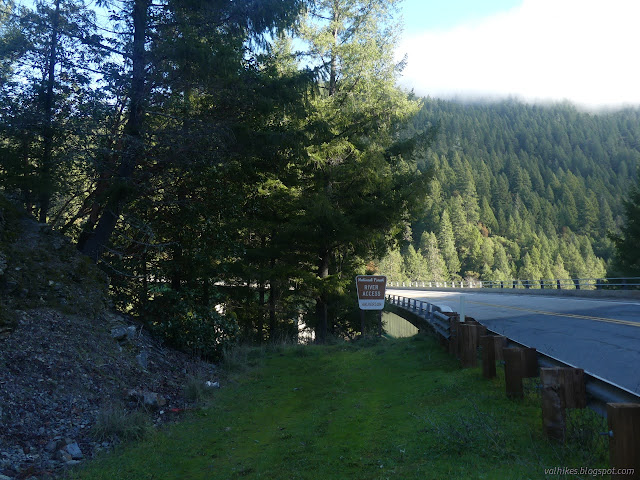
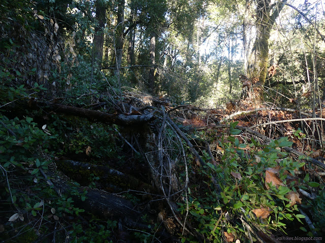
There were some clues this plan might not work out as I hoped. The Forest states that this is a 0.6 mile trail down to a spot popular with fly fishermen, substantially shorter than the line on the map. While I've seen cars parked along the spot many times, the people were indeed holding fishing poles when I also saw them. Neither the trail to the mine nor the climbing on are found on the 2017 Klamath visitor map, nor the 2009 Six Rivers visitor map. (That second is officially out of date as of 2020.) The line that does show on the Forest Service topo is not numbered, but some that should be aren't either. I encountered the first downed tree within 100 feet of the sign.
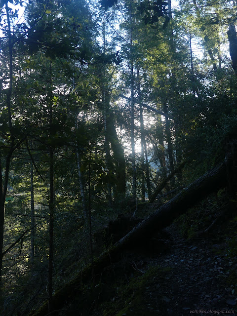
There were more, but all were easily traversed with, say, a long pole in one hand and gear or a catch in the other. Then the generally level trail took a precipitous turn downward. While the tread right next to this downward turn was suffering a bit, just past it was some good tread. Just past that was a mass of tree and limb blocking it.
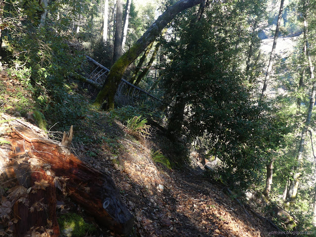
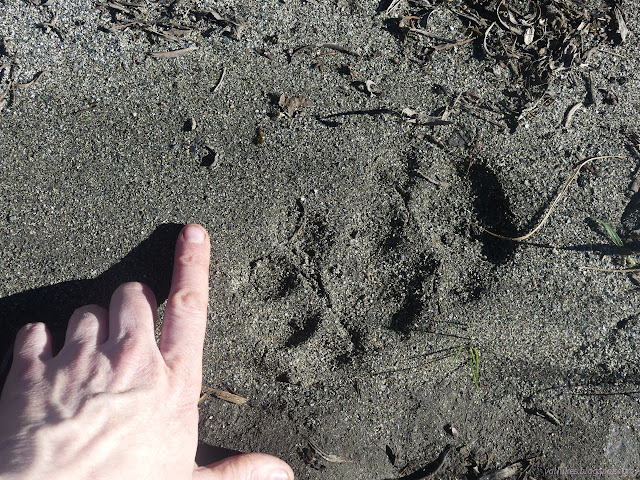
The limbs most in the way to getting past the trees on my trail were still on the trees suggesting no one is passing that way. I certainly didn't want to, so started down the hill before spotting a bear trail and following it right back up again. The tread was soft under my feet, but wide and distinct and every bit a people trail. With lots of trees down on it.

The bears are making use of the trail. As I worked through the various trees on the way, I got the feeling that at least a few people are working their way along it too. It's not half so many as pop down to the sand and rock bar just upstream of the bridge.

I had just crawled across the top of four stout but small trees, which I wasn't sure if was bear's route but I couldn't see what was, when I found another batch of thick blockage on the trail. The area is a gentle slope and the first bear trail I saw leaving the area was going directly uphill and not likely to be the way past. Another lead down. I eventually found that, after a really big step, there was a crossing trail that was likely the walk around for the bunch of trees. I looked at the time and my location and found that I had managed to double my distance since leaving the main used trail. It was nearly an hour since I started and I was 10% done. My legs were already tired of climbing over trees with a full pack and at that rate, I wouldn't make it even if the trail does go all the way through. Oh, and half of that was likely the easiest part of the trip. I decided not to investigate the likely walk around I'd just found and instead turned back to crawl right back over all those trees. Again, it would have been better to be more streamlined, but that wasn't the only problem.

I found a more gentle bear trail down to the river access and dropped the res t of the way to it. The last bit pushes through brambles, but there's enough traffic to make that a safe enterprise. I wandered first up, then down the gravel bar to look around.

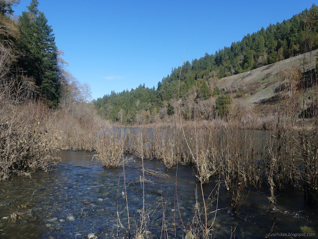
I suppose I should have at least tried to work my way all the way to Halverson Creek where there is another large gravel bar. It should be a somewhat substantial creek. That and a couple outside turns look like likely failure points for this trail. I sat down in the warm sun on the highest, driest sand with the map and tried to decide on something better. It was tempting to just say I'd got to camp, but that's just too silly. Besides, that spot spends a lot of the afternoon in shadow.

*photo album*
©2022 Valerie Norton
Written 20 Jan 2022
Liked this? Interesting? Click the three bars at the top left for the menu to read more or subscribe!


Comments
I strongly suspect the ranger station that couldn't tell me where to get a permit for Trinity Alps Wilderness, which I was entering on one of their trails, wouldn't tell me anything more than what it says online about this trail. Certainly not that it's good down there under all those trees.