Posts

Showing posts with the label fish and game

Ocean Ranch

Image
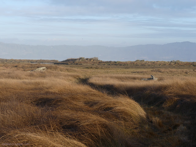
Eel River Wildlife Area Click for interactive map A little after I first (and last) visited Ocean Ranch , the California Department of Fish and Wildlife launched a restoration project in this bit of the Eel River Wildlife Area that I keep meaning to check out. It gets a mention sometimes on the twice monthly DERT days by Friends of the Dunes because they decided to test the best removal system for the invasive beach grass we pull by hand. The winner for efficiency includes fire. I pulled into the now paved parking lot at the top because that's all I was expecting, only to find there is now a paved road where there was a gated, uneven track down to another parking area with picnicking that is open sunrise to sunset. The wooden sign got an upgrade. There was very obviously a billowing plume of smoke originating from somewhere over by the mouth of the Eel River. A blackberry hunter suspected that folks who came to Crab County Park for the 4th to light up massive mounds of ...

Dave Decon Campground

Image
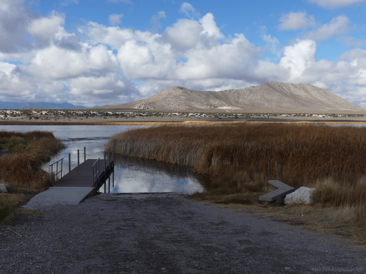
Wayne E. Kirch Wildlife Management Area Location: Dave Decon Campground More weather passed through and I must admit to some regret that I had not dragged the little trailer along for this trip. I figured it would be easier to face the roads that my car isn't really up to if backing up is possible. A tarp helped close up the spaces between the slats of a provided shelter to keep the rain off my breakfast as the wind blasted north. When it stopped raining, but started blowing very hard to the south, that tarp took the brunt of the blast, too. I did have to get out in that wind and move the tarp. This weather brought an excellent rainbow. Complete arc. Double. There it is, doubled. Some more coming rain to renew the start. Light playing in other parts of the sky too. The starlings continued to waft in a group from tree to tree. The grackle continued to be loud from various branches.

Tule, Haymeadow, and Cold Springs Reservoirs

Image
Wayne E. Kirch Wildlife Management Area ( map link ) The plan for this day was to visit the three smaller, further reservoirs starting with the furthest. It had rained heavily overnight and even the main road felt a little off, but I was really regretting leaving the driving to after the rain when I got to the last two miles to the Tule Reservoir Dam. After the turnoff for Haymeadow Reservoir, the road becomes narrow and lesser maintained. The turnoff for Tule Reservoir is so rough that I pulled out of the way of traffic at the corner and walked it. There's lots of room for parking at the intersection even though it is not marked as an official parking area on the reserve's map. Tule Reservoir from atop the dam. A little cloud and distant rain remain. Old road on the far side is trail now. A look back over the occasionally flooded areas below the dam and back up the road. The great amount of reeds, for which the reservoir is named, got me to thinking I wouldn...

Dacey and Adams-McGill Reservoirs

Image
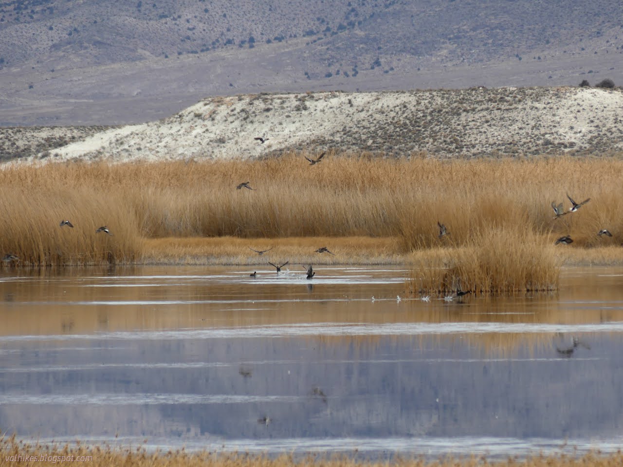
Wayne E. Kirch Wildlife Management Area ( map link ) The Wayne E. Kirch Wildlife Management Area boasts numerous habitats, each attracting a different collection of birds and animals. The open water of the reservoirs both deep and shallow, tule choked waters, periodically flooded lands, shoreline, and surrounding scrub can all have their adherents depending on the season. Some pass through and some nest. I set out to test again if there was really no hiking (as indicated by the Ely District Recreation Opportunity Guide that Ely District BLM prints, but does not seem to make available in electronic form) in the Kirch WMA with a planned triangle of large reservoir visits. Again, I simply started in the campground. The tall cottonwoods planted there don't seem to be mentioned as a habitat, but they do attract their own set of birds. Starting today's birdwatching at "home" with a singular and noisy great-tailed grackle . I headed out of the campground and down ...

Hot Creek

Image
Wayne E. Kirch Wildlife Management Area ( map link ) The Kirch WMA boasts wildlife viewing, but not hiking, according to my handy Ely District Recreation Opportunities Guide from BLM. The district boasts two of these free to visit Nevada Department of Wildlife facilities that cater to migrating waterfowl, the hunters that might get a few, and birdwatchers galore. Fishermen too. Road signs have been provided to help get them there, too! There is no camping except at the free Dave Deacon Campground. I started the day making an animal trail approach to Whipple Cave until I got enough signal to look it up and find out about the 80 foot rappel required for entry, so I got to the campground a little earlier than expected. I decided to wander over to Hot Creek in the afternoon and found that there is a little bit of hiking trail here. I ended up making a couple trips over while I was at the reserve. Birdwatching begins at "home" with one of the numerous European starlings ...

Cock Robin Island

Image
Eel River Wildlife Area ( map link ) After stopping by the Cannibal Island Unit of the Eel River Wildlife Area , I stopped at the Cock Robin Island Unit, or rather almost to it. The obvious parking spot on the map is the Pedrazzini Boat Launch, which has plenty of unpaved parking just before the very long single lane bridge over the Eel River to the island. That seemed fine to me. I was happier walking across the bridge than driving and it's a hotspot for bird watching on eBird . While the California Department of Fish and Wildlife plans on replanting the Cannibal Island Unit with trees, the Cock Robin Island Unit already has been. There really is a boat ramp here. The river current can be strong in winter. I headed for the bridge and across. It seemed solid enough and the railings probably aren't even very old. There weren't a lot of birds out. The start of a very long one lane bridge. Down the Eel River to the almost visible mouth.

Mosley Island

Image
Eel River Wildlife Area ( map link ) After the railroad and tunnel , my next objective for the day was to visit a couple of units in the Eel River Wildlife Area . This is California Department of Fish and Wildlife land that doesn't require a hunting permit of any kind to access. Its purpose is to "protect and enhance coastal wetland habitat". I have previously hiked on the Ocean Ranch Unit . Today, I would explore the Cannibal Island Unit, which occupies the north and west sides of Cannibal Island and the north side of Mosley Island. It looks like there are a couple of ways to access the parts on Cannibal Island on county roads (noted by the yellow tag on the road signs), but they aren't terribly good roads and they are a bit flooded at the moment. I was aiming for Crab Park, a Humboldt County park, at the end of the road as the only obvious place to park. It is more of a turn around. The road is paved to the bridge from Cannibal Island to Mosley Island, then wa...

Ma-le'l Dunes, south and north, for the wallflowers

Image
Arcata Field Office BLM Humboldt Bay National Wildlife Refuge ( map link ) The wallflowers are blooming and maybe it's time to make a wander over the Ma-le'l Dunes once more. We spotted them on the way to pulling the invasive marram grass last week, little yellow pompoms in a large depression and spotting a few other places in the dunes. Since I seem to be using flowers as motivation to document a place again, the critically endangered Erysimum menziesii , Menzies' Wallflower, was as good an excuse as any. It really is just an excuse. I wanted to wander the dunes. Beware. There has been some rabies found in grey foxes in the northern dunes. Information signs about trails in the south section of dunes are at both ends of the long parking area. I like the forest portions of the trails here, so I headed past a rabies warning on a less obvious trail that climbs up the old dunes hosting the trees. It follows a long and narrow crest between valleys of surprising depth...

Blue Lake Wildlife Management Area

Image
Utah Division of Wildlife Resources ( map link ) Out near the edge of miles and miles of flat flat flat desert is a bit of water. A pond. A pool, really. A fairly deep pool, in fact. Deep enough to attract scuba divers. I saw some with an electric pump that only allows them to go about 15 feet deep and others with actual tanks to go all the way, 60 feet down. They came with little spears and fishing poles to get fish. There's even scuba classes that come out to the lake. Sign for the little piece of state land among a lot of Bureau of Land Management and Air Force land Follow the boardwalk from the sometimes muddy large parking area Saffron winged meadowhawk Blue Lake becomes visible I found distractions among the plants beside the boardwalk as it approaches the water, especially in the big pods from the milkweed that were letting their seeds disperse.

Treasure Island

Image
Wyoming Game and Fish Department, North Platte River Public Access Area ( map link ) There are a number of public access areas along the North Platte River provided by the Wyoming Game and Fish Department. They each have varying amenities and recreation opportunities. The one at Treasure Island is well appointed with bathrooms, boat ramp, and a bit of hiking, as well as allowing camping for up to five days. Upon discovering the bit of hiking, I decided I could put some long chores off an hour to explore the place. The parking area is open and rather exposed to the sun. The weather had been pretty stuck on the theme of record heat for all the lower areas since I got to Arapaho, maybe even before but they weren't telling me about it then, so it was hot but cooling in the late afternoon. Panorama of the hills to the south. Land immediately surrounding is private, but the area is a checkerboard of Bureau of Land Management and private and those hills or some like them (check ...

Humboldt Bay South Spit

Image
Table Bluff County Park South Spit Wildlife Area (CDFW) Humboldt Bay National Wildlife Refuge (Map link.) I headed out to the Ocean Ranch Unit of the Eel River Wildlife Area to hike the little bit of old road and levee, making various stops by the waters and looping back along the beach to see what the storms have washed up. That was all very well and good, but as I got there, I saw three diggers hanging out by the ranch and a great big closed sign. It is "closed due to a restoration project until rain and weather shut down operations." I was left with my "rest of the day" plan, which was find things to do on the South Spit. The Ocean Ranch has very little trail, but the spit has even less. My first stop became the parking lot that is the entirety of the Table Bluff County Park that the public may visit. From there, I could check out what was up, at least. The road behind the dunes is blocked for the restoration work. I crossed over to the access road...