Humboldt Bay South Spit
Table Bluff County Park
South Spit Wildlife Area (CDFW)
Humboldt Bay National Wildlife Refuge
(Map link.)
I headed out to the Ocean Ranch Unit of the Eel River Wildlife Area to hike the little bit of old road and levee, making various stops by the waters and looping back along the beach to see what the storms have washed up. That was all very well and good, but as I got there, I saw three diggers hanging out by the ranch and a great big closed sign. It is "closed due to a restoration project until rain and weather shut down operations." I was left with my "rest of the day" plan, which was find things to do on the South Spit. The Ocean Ranch has very little trail, but the spit has even less. My first stop became the parking lot that is the entirety of the Table Bluff County Park that the public may visit. From there, I could check out what was up, at least.

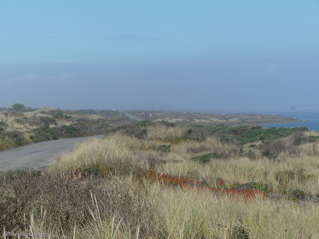
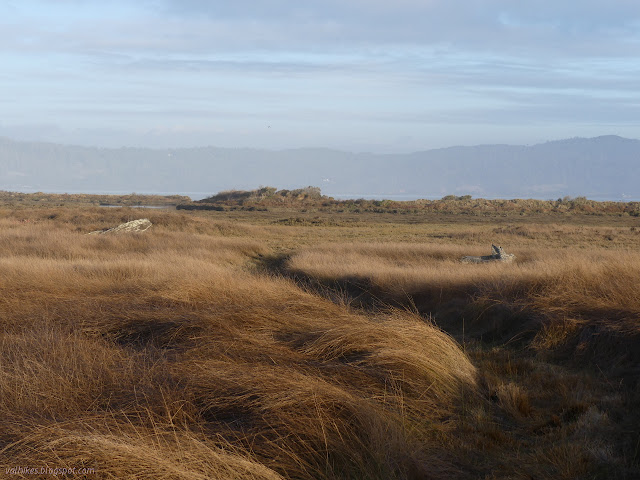
I crossed over to the access road on a small trail and headed down to the beach, then turned south. The beach was full of drift wood up to whole trees, mostly thrown high up above the waveslope where it got stuck. The lower areas were swept nearly clean again by the waves going out.


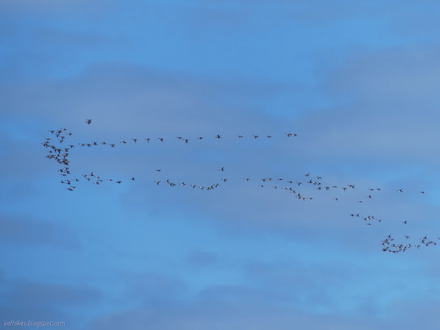
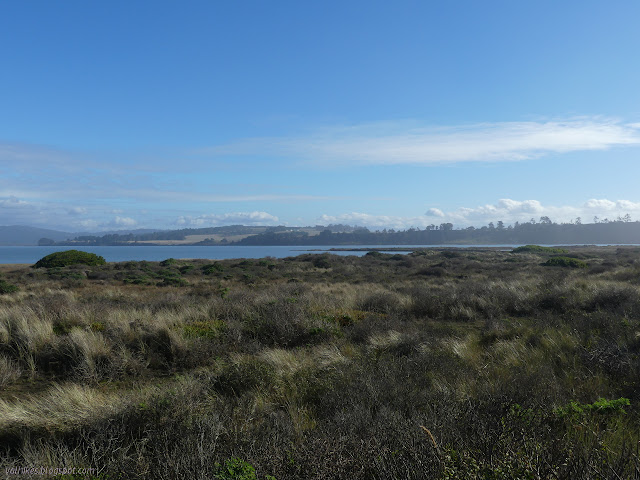
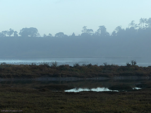
I popped up into the dunes to look out over the waterways to see what I was missing bird-wise. I found where some controlled burn had been used on the invasive marram grass, but was still too far to see the water. I went a little further and found a good spot to look out.


I continued a little way south along the beach, but it had very much been a secondary thought to roaming the flats. I didn't go far before turning around.

Knowing I was heading toward a trash can, I picked up those things that don't belong on the beach on my way back. There were a few people sitting out on the logs watching the waves, perhaps looking for whales. (They should be out there once in a while.) I dropped off the trash and headed on down to another parking area along the sandspit.
There are a number of spur roads off the South Jetty Road that extend toward the bay for hunting access. The signs near them suggest they're not for driving your truck down, but that's clearly what happens. I stopped at a parking area near one about a third of the way along.
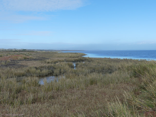
I followed the road down to the bay. I turned south and walked on the water rolled eel grass along the edge, disturbing some ravens in the process.

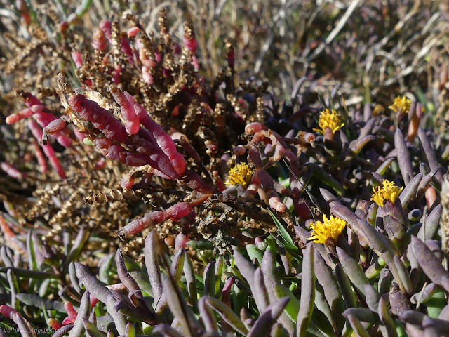
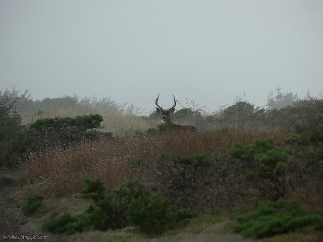
I headed inland and pondered the plants. A few of them headline in the list of species to control over at Ocean Ranch. A few are native.


I came back up to the road near one of the access corridors to drive on the waveslope, so followed it to the beach again.


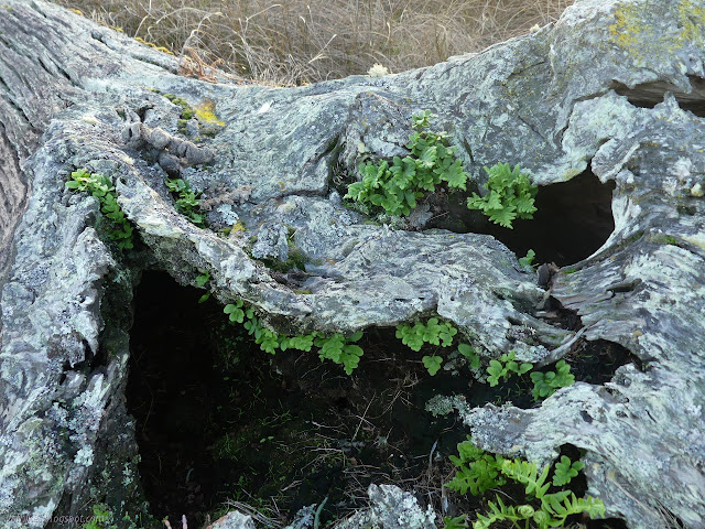
I returned through the dunes, stopping by a geocache. It's one of a very few I've signed this year.
I stopped at the current end of the road. The jetty itself is closed for repairs although there was no work being done at the moment. I headed away from the motionless heavy equipment toward the east point. The state of the road makes me suspect that this might not have been okay if work were on.


Walking the beach was too much for many of the pelicans, which took flight. Many of those just circled right back around to settle again.


I stopped by the tree and it's swing, then found my way to the road again. I turned left to continue along it, but had circled around the end and that just brought me back to where I started.
I spotted a small trail heading to the bay and parked quickly to check it out. Perhaps I should have checked out one of the official ones, but this was getting close to some interesting features.

The trail was quite small near the road, but wide and well established further along.

The trail seemed to divide as it got near the bay, but turning toward some spots where tree sized driftwood landed in particularly bad weather, I was able to get to a spot where a waterway splits one last piece of land from the main body of sand.


I headed back, getting my feet a little moist.
It was getting late, but the gate doesn't close until an hour after sunset and the posted time was 7:45PM, which was actually a bit later, so I parked again at the county park and crossed the road to see where an illegal track road I'd seen might go. It felt like it was getting into the bottom-lands where the trees grow as I walked it.
Then it turned and in quick order I was right back on the main road. I walked back along the pavement.
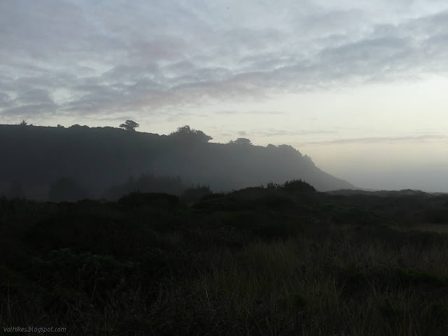
It was right at sunset according to my GPS, but the colors of the display had already gone ten minutes before. The actual experienced sunset came when it dropped behind the cloud bank out on the ocean.
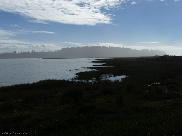
I made one more stop at the top of the bluffs to look out over the South Spit. The gathering gloom from fog and dark didn't help, but I could find a spot beside where the old road used to go down to see the oddities of the bay side of the land.


*photo album*
©2021 Valerie Norton
Written 1 Nov 2021
Liked this? Interesting? Click the three bars at the top left for the menu to read more or subscribe!


Comments