Addie Johnson and Homestead-Bull Creek Loop
Humboldt Redwoods State Park
Click for map in new tab.
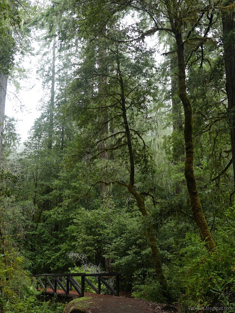
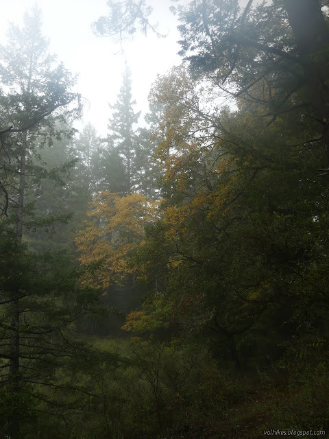
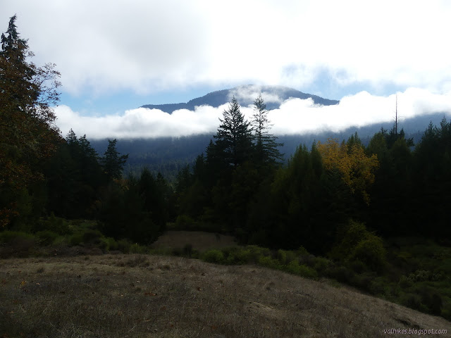
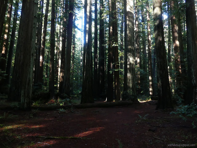
I want new trails! These aren't exactly new trails, but I did the Homestead Trail in the gathering gloom at the end of a long hike and I did the (other side of the) Bull Creek Trail even longer ago in the gathering gloom at the end of a long hike. Anyway, the promised sunny day was looking good right until I got to the park, where everything was enveloped in thick clouds, so going with the plan of high trails for views didn't seem reasonable. Besides, there was some suggestion while zooming along the freeway that there might be some good fall scenes if I stayed near the running water. I ended up back at the bottom of the Look Prairie Trail, but this time turned to the Homestead Trail. It is marked by a short post.
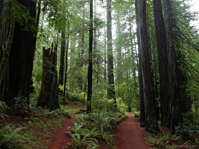
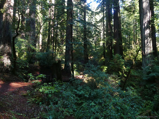
The Addie Johnson Trail crosses at a rather acute angle. It has it's own parking somewhere a little past the Big Trees area and does come up through some big trees. I took the sharp turn and started to climb. The deciduous trees under the redwood canopy were showing just the slightest bit of yellowing.
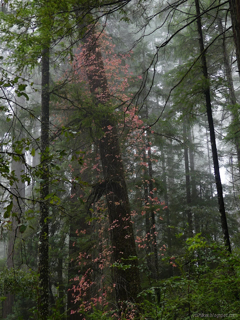
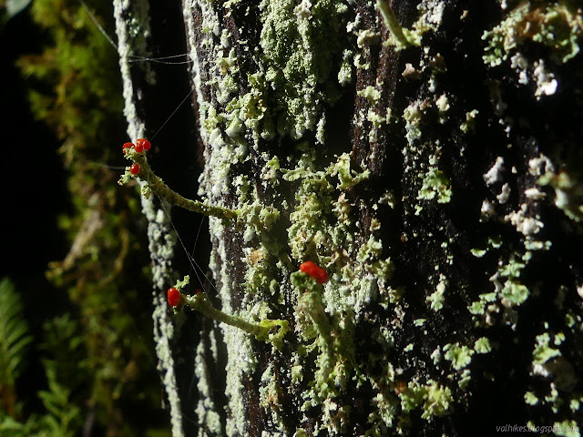
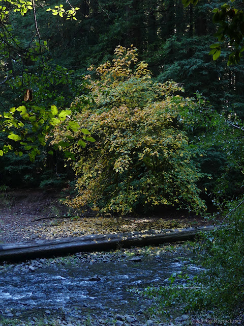
I found a bit more color in the forest as I climbed. A ridge of oaks offered up some deep yellows. Spots on the creek had more yellows. Some of the trees in the more protected areas were getting further along, too. I kept spotting red leaves on the ground, but couldn't find them above for a while.

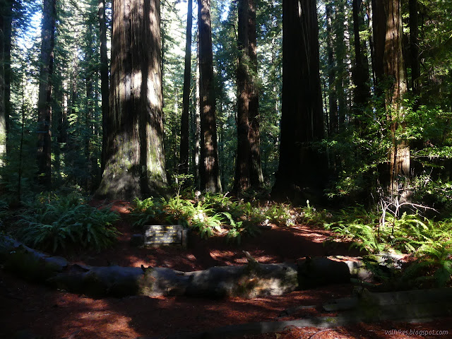
It was still thick with clouds low enough to call fog when I got to Addie Johnson's grave, high on a ridge under the forest near the edge of the Johnson Prairie.

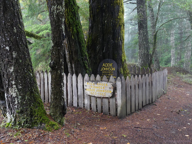
The grave was improved a few years ago as part of an Eagle Scout project. The marker she has been given states that she was the first white woman to die in the area. The trail technically ends at the grave, but I found a well worn track going past it, across an old road, then up toward the prairie. I followed it for another quarter mile until it ducked under an oak bough to emerge near a flat spot perfect for a picnic. The scattering of cut down bushes suggest it might be the result of an effort to reduce invasive species. The trail continued upward with a split heading across the meadow.
It got thinner and thicker, but was still disappointingly foggy after I finished making use of that flat spot, but after taking a bit too long at a nearby geocache, light was beginning to filter through, brightening was happening, and I had to go back up to see some actual view as the fog burned off as if swept away.


I found a couple people going up as I went down. At the junction once more, I turned to continue west on the Homestead Trail.
Albee Campground was clearly closed for the season when I got near. Some folks had walked in to use a picnic table beside the meadow and nature occupied the rest. Homestead crosses the entrance road and then sort of vanishes just short of the Bull Creek Trail. I walked to the bridge to look out over Albee Creek before returning to Bull Creek Trail North down along its edge.

It's a very short distance to where Albee Creek empties out into Bull Creek. I found a spot under a maple tree to watch the larger creek over snacks before moving on.

Things got a little confusing as the trail arrived at a USGS stream gauge. Apparently it just follows the mud puddle of a spur road to the main road. I followed a smaller trail along the hardened edge of the creek that was feeling a little unmaintained in comparison to the rest, then had to jog over to the side to where the picnickers had parked by the continuation of the trail.

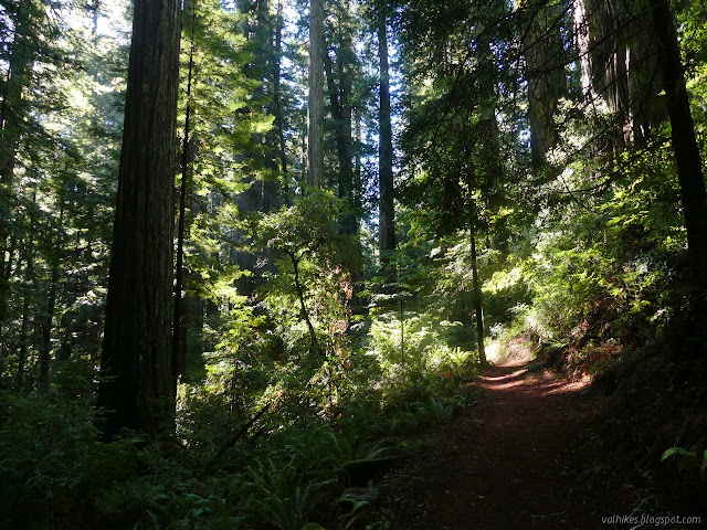
The trail does not follow all that close to the creek, mostly, as it progresses past even bigger trees. I actually managed to find a downed tree on the trail, which I had to step through. (It wasn't one of the big ones, or even a redwood.) I found a couple more people on the trail, a couple lookout points over the creek, but the biggest fall color had been that maple.

There's a small loop trail off the main trail to visit a tree that got designated the tall one in 1957. It stood 359.3 feet tall then. They don't pick out specific trees to be "special" anymore because it concentrates visitation and those designated trees suffer.

I found myself in the parking lot for the Tall Tree. The less used trail continues on the far side, still winding through nice forest. I popped out again at the turnout across from the Look Prairie Trail, thus coming to the end of the hike.
*photo album*
©2021 Valerie Norton
Written 6 Nov 2021
Liked this? Interesting? Click the three bars at the top left for the menu to read more or subscribe!
Comments