Five Allens' Trail
Humboldt Redwoods State Park
Click for map in new tab.
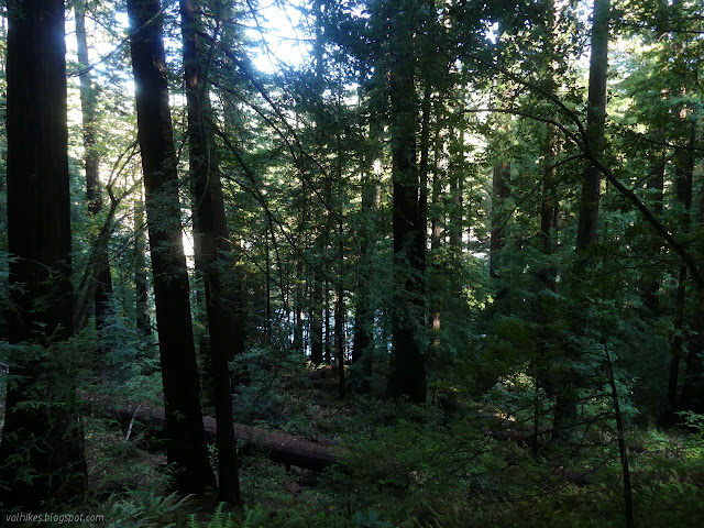
In deciding where I might hike this day, I got a little fixated with Allen's Trail, or perhaps the Five Allens' Trail, as it is marked on the Humboldt Redwoods State Park brochure map. It was meant to be the first hike of the day, but I missed the exit and went somewhere familiar instead. I was expecting to miss the start on the first pass too. Redwood Hikes warns that it is hard to find. I was taking a quick, I'm-actually-driving-a-curving-road-here type, glance at some cascading water when I noticed a small wooden sign that included a big "A" on it. I then, wonder of wonders, actually acted on this impression and pulled into the large turnout that presented itself on the other side of the road. Indeed, the sign beside a small trail said "Allen's Trail". Why the five have been reduced to one, I do not know, but I had managed to find it on the first pass. I very much doubt I would have seen it at all had I been going south, although there is a larger grove sign and a small turnout. I looked out over the Eel River, which isn't very far below but almost completely hidden by the trees, then turned and started up the small and steep switchbacks barreling toward the freeway above.

The busy sound of high speed traffic is no worry because there's a pedestrian tunnel to stay just far enough away from it all. It surprised me a little just how close to the roadway it is.
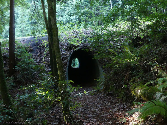
The bottom of the tunnel is paved so that it is smooth. I probably should have got out my light to make sure it hadn't developed any potholes. I noticed none. There's actually a turnout on the west side (southbound) in case someone has an emergency hike need. (When I first started driving, I almost never drove US-101 along the Rincon without seeing parked cars belonging to people having an emergency surf session. I expect emergency hiking is also a thing.) The trail resumed climbing steeply with a few short resting sections.


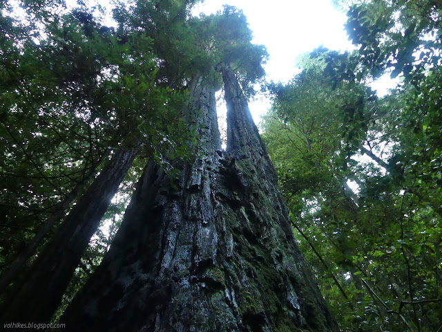
After about a mile, the trail came to a couple particularly large trees, crossed a flowing stream (with no bridge, but very small) and entered into a small bowl area.
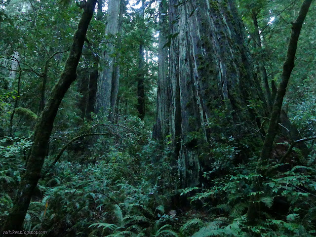

This feels a little like the end of the trail, but it actually splits. Left is the Achelis plaque and right is the Five Allens. I chose left first as it looked better used in the first few feet. This is the longer of the two spurs and faithfully arrives at a plaque on a dead tree. Thin trails, possibly just from animals, continue on. One dropped ten feet to what might be the end of an old road cut. I didn't follow it further.


The spur to the Five Allens is much shorter, basically getting up to the edge of the bowl, and the end shows a bit more stomping around.

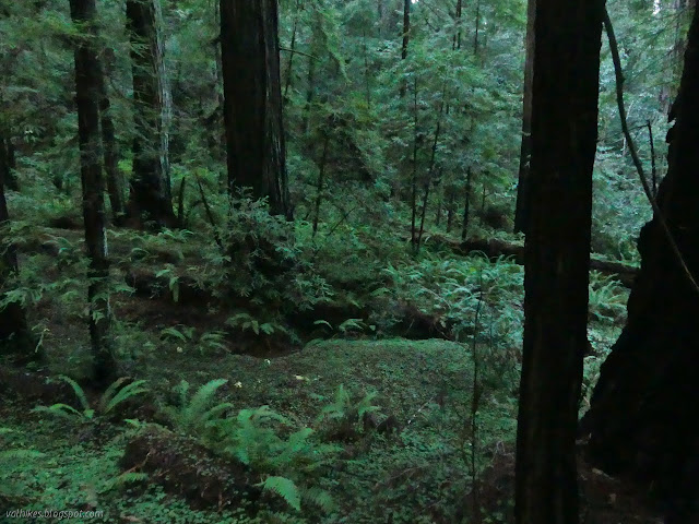

I headed down again. It somehow felt like there were more big trees along the way down than up.
I had another look at the cascade that had caught my attention when I got back to the bottom. It is just the little bit of stream water coming out its own culvert from under the freeway and filtering down stacked rocks. It had been a bit more ideal, a lovely little waterfall, in my quick glance.
*photo album*
©2021 Valerie Norton
Written 7 Nov 2021
Liked this? Interesting? Click the three bars at the top left for the menu to read more or subscribe!


Comments