Elk River and South Side Trail
Headwaters Forest Reserve (Arcata BLM)

(Map link.)
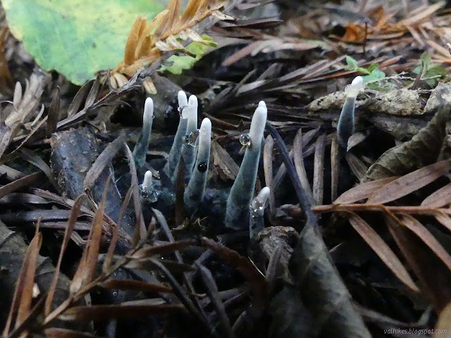
I've got the Elk River Trail penciled in for February to try to catch the fetid adderstongue (specifically Scoliopus bigelovii) in bloom, but by that time the river will be high again and the South Side Trail closed again. To see what it offers, I would have to get out much sooner, so I did. The South Side Trail provides a longer dirt alternative to the paved first mile of the Elk River Trail. Well, unless you are dog walking or bicycling. Neither are allowed on any of the trails south of the Elk River. They're less serious about being a reserve on the north side and allow leashed dogs along with bicycles.
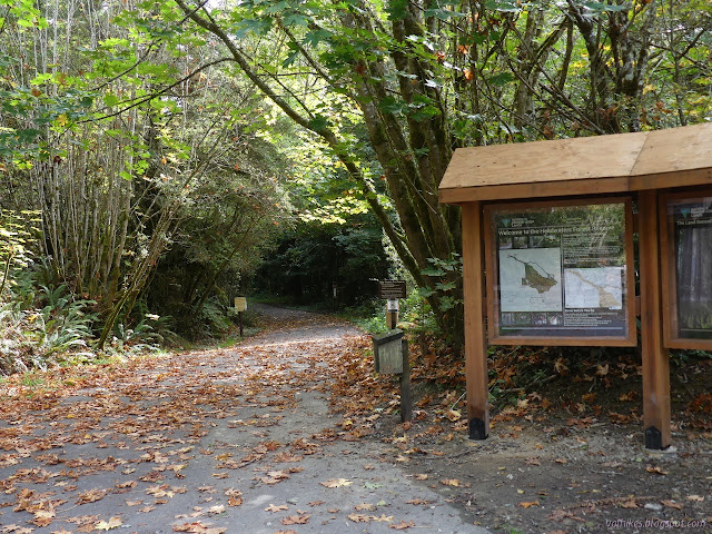
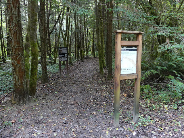
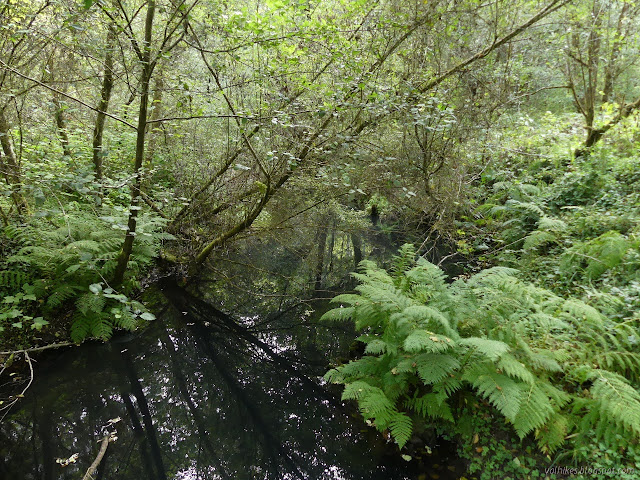
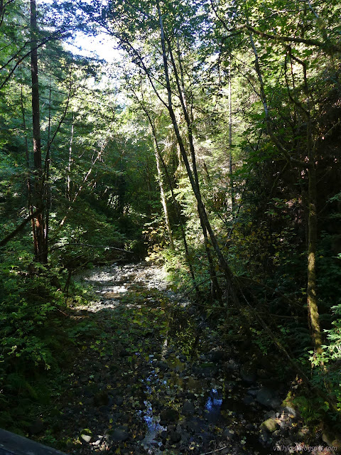
It's less than 100 feet on the pavement before the turn. I took it and found the trail winding back west before finally arriving at the river. It's just the south fork, so not that big to start with, but was certainly looking more like a thin creek with pools.

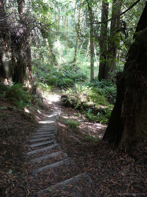
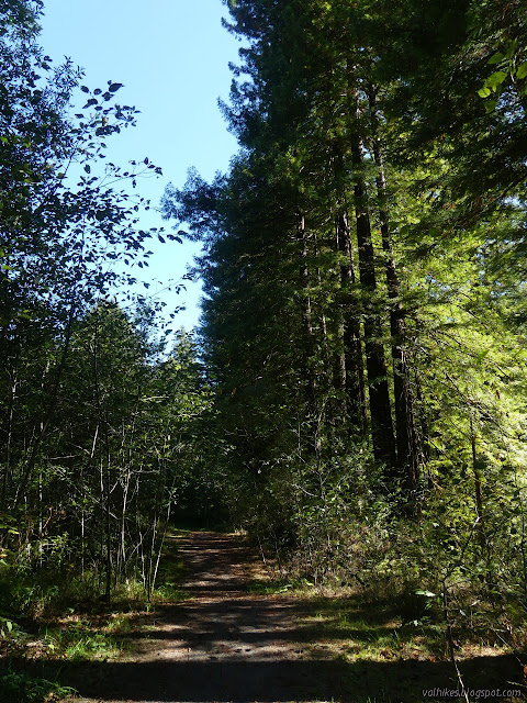
On the far side, the trail stays low a short way before climbing up high enough to be among the redwoods. Sometimes it is on old roads as it drops and climbs again and winds along the hills.


There's random signs of human habitation toward the end, including a just visible house that has colapsed in on itself.
There's a permanent wooden bridge, just as narrow as the seasonal metal one, across one tributary. I couldn't even hear water in it as I crossed. Then there's another narrow metal extending bridge as a seasonal crossing over the river. A few winds up through the forest duff and I was passing the old truck and arriving back at the main trail with Falk and the end of the pavement just around a corner. It takes 1.6 miles to bypass this 1 mile.


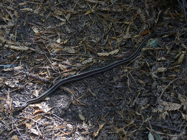
The trail after the end of the pavement isn't as flat as that before and a couple land slides have given it a bit more shape since it stopped being a road. The second, a space of slick and unavoidable mud on a slope has finally gotten the work it desperately needed. Small switchbacks have been carved in and a thick layer of rocks has been dumped on it. I hope there are plans to dump more on when the mud eats those. For now, there was just one spot where goo is starting to come up through the rocks, but it was the only place the trail was still wet from the previous rains. There is hope that come February, I won't finish with a decorative layer of mud on me. It has happened in the past.
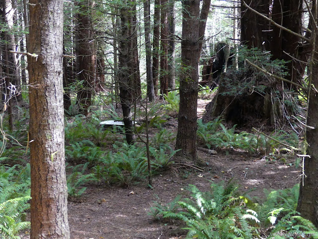
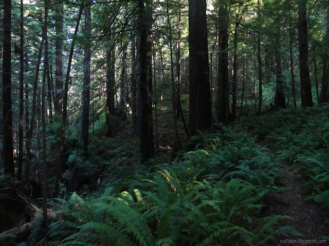
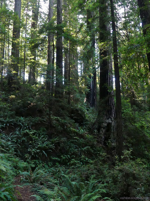
I crossed the wide, old car bridge to get once more on the south side of the river and settled into the climb up to the postage stamp of old growth they'll let the public visit on their own. It's steepest at the start.

And then the trail split. I chose to do the little loop at the end clockwise. The old growth starts a little sooner that way, I think. It would be true to say you see different things going different ways, so there is likely an argument for either direction.


Then the old growth stopped and the stumps started and I got back to the start of the loop. I had stopped to snack (leaving no crumbs!) in the middle, but it still gets over fast. All that was left was to get back to the parking. Downhill I went.

*photo album*
©2021 Valerie Norton
Written 23 Oct 2021
Liked this? Interesting? Click the three bars at the top left for the menu to read more or subscribe!
Comments