Posts

Showing posts with the label Edventure

Gray Falls

Image
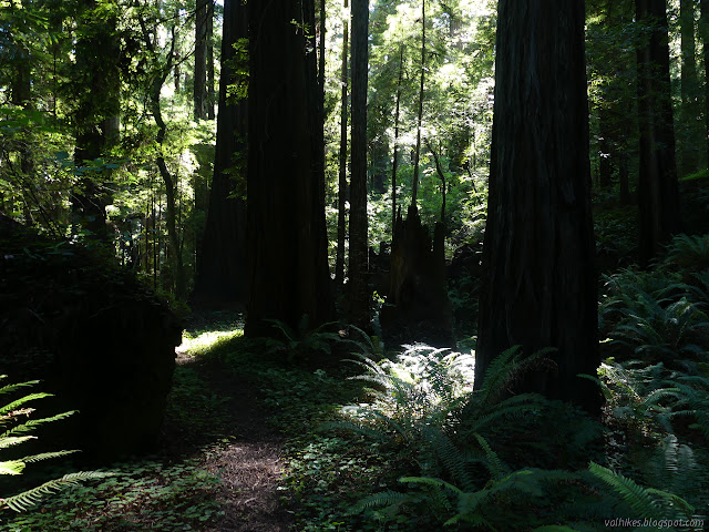
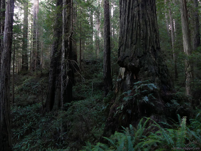
Six Rivers National Forest ( map link ) It was a geocache that brought this spot to my attention. I didn't find it or anything, but sometimes there's more important things to a geocache than being there. Well, for me who is a hiker who geocaches rather than a geocacher who hikes, anyway. (I might be part of a very small minority.) There's also a Redwood EdVentures Quest to bring people here. I didn't have signal or the PDF nor are there any brochures provided, so couldn't do it. The map on it would have been nice since neither the Forest Service topos nor OpenStreetMap had any information on the trails. (Another on my list of things that need editing on OSM. At least that's one that can be fixed.) There's signs out on CA-299 for Gray Falls to help find this spot. Take the right fork on gravel too narrow for any attempt at passing 0.5 miles to the picnic area with tables and a toilet and a small trail system. Kiosk under the tall trees at the picni...
Hammond Trail to Clam Beach and the mouth of the Mad River

Image
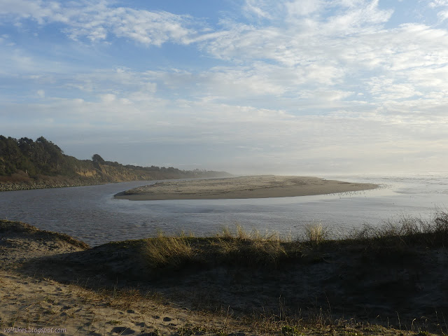
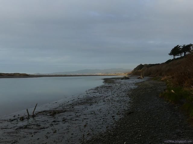
Clam Beach County Park Click for map. Back to the Hammond Trail on the end of Letz Road from (almost) where I ended the week before . Letz Road represents a road walk portion of the trail. Since it only goes to a few houses above the cliffs, it does not have a great amount of use. The trail parking is found at the north end by an information sign. I came equipped with an already downloaded Redwood EdVenture Quest brochure for the new bike quest . Information signs at the trailhead at the north end of Letz Road. The little blue wave marking the California Coastal Trail is on the sign on the left. I walked into the trees. A trail branches quickly to the left for a lookout point among them. A little further down is a lookout point accessed from the freeway. It was parked up from end to end when I arrived and I'd already seen about six people using the trail. There's a bit more visibility by the parking since there's a lot less tree. The mouth of the river is la...

Mad River Bluffs and Hammond Trail

Image
McKinleyville Land Trust Click for map. I headed out to the Hammond Trail to try out one of the new Redwood Edventures bike Quests . I didn't come out with my bike or anything. That went away when I couldn't find the space to keep it. It is perfectly alright to walk it or even ride it on a horse, as it happens. It was really an excuse to come out to the Mad River Bluffs once more before crossing Hiller Park to the start, then once more after finishing. I quite like the bluff. Just past the gate by the parking for Mad River Bluffs, one is engulfed in the trees. The kiosk presents a map of the local area walking possibilities. Where it opens up, one can see the trees shaped by the salty ocean winds. They're Sitka spruce and shore pines again. I proceeded through the bluff area and across Hiller Park to the start of the quest along the Hammond Trail. I was only accosted by one dog in the park where dogs are supposed to be "securely leashed" and virtual...

Freshwater Farms Reserve

Image
Northcoast Regional Land Trust Click for map. I set out to hike the McKay Community Forest , some 1000 acres the City of Eureka purchased in 2014, but found the sign at the entry on Harris (at the north end) to state in no uncertain terms that I wasn't to enter. "Appropriate access points and trails have not been developed." The first trails are scheduled to open in "early 2019." The 2019 was clearly edited since the sign went up. A final trail plan was released December 2020. There also seems to have been dedicated parking area constructed in 2018, so maybe I just have to try in different areas. I decided to go see what the land trust has to offer just down the road. At the east end of parking for at least a dozen cars, the trail starts with information signs. The Northcoast Regional Land Trust ranges all across Humboldt County and into the neighboring counties, but this seems to be the only property set up for regular public access. Most of their ...

Abe Wouk Grove to Williams and Graham Grove to Harriet Hunt Bard Grove

Image
Grizzly Creek Redwoods State Park Click for map. There were a number of parking areas along the way that seem to also be part of the park and serve as river access as I drove over to the east section of Grizzly Creek Redwoods State Park, but the one by the visitor center (with an $8 day use fee), central to the trails, was closed with the campground. I tried for the parking marked at the end of the loop through Abe Wouk Grove, but missed it and landed next to a bit of river marked Devil's Elbow and walked along the narrow highway to the trail. It was empty of river goers since it sits far up a cliff from the water. Looking down on the Van Duzen River from a bit of old road. Only a small trail sign back in the ferns marks the trail beside the dirt. I missed the parking I was aimed for because it is just a dirt loop around a tree at the side of the road and doesn't look official. I started down the trail beside a sign not caring particularly which bit of the loop ...

Cheatham Grove

Image
Grizzly Creek Redwoods State Park Click for map. I decided it was time for another Redwood Edventure quest and generally walk every trail of tiny Grizzly Creek Redwoods State Park . There is a day use fee of $8, but it appears to only apply if one parks in the eastern section of the park by the visitor center. All of that parking was closed as a pandemic precaution. This first hike is the western part of the park, so not subject to a fee. I arrived to find a few cars in the small lot and one group leaving the grove as I entered, then had the grove to myself. Signs at the trailhead. The bump at the end of the pavement and the hole in the dirt beside it had me a little worried for the little car. The redwood sorrel is still blooming a little. These pink ones didn't have the nice red backed leaves. I am suspicious it might be some other sorrel. The grove is a particularly open one. The trees range in size dramatically with a few particularly large ones. Birds were twi...

Elk River Trail, plus another Quest

Image
Headwaters Forest Reserve Click for map. I need to get a hike with some length to it, so I started looking for things accessible via CA-36, then gave up and went out for another Redwood AdVentures Quest (link to interpretive trail brochure) . It seemed a bit of a gamble, but it's close enough to just go for it. There would be no good parking if they closed the gates, but they have not and there are spaces available. Bathrooms are closed, but the trail is open. I'll hike the South Fork Elk River up to its little bit of old growth once again. Just a bit of warning on entry. Plenty of parking. Most of it is on the other side of the trees, but some is to the right and by the pickup. New signs include "pack it in, pack it out" on the garbage that isn't getting collected and "social distancing" requirements. This trail includes a mile that is wheelchair accessible. First up, that Quest. It says to start at the Quest box a quarter mile alon...

Redwood EdVentures Quest at Redwood Park

Image
Arcata Community Forest Click for rough map. My second backpacking trip on the Lost Coast fizzled with an email that permits were suspended on the 28th. Mine was for the 29th finishing today, so no additional watching the sea lions play for me. I guess it saved me from one dreary rain day and a second rather heavy rain day. What to do? Another Quest? There's one at the Arcata Community Forest. It's just the smallest circle through the trees beside Redwood Park. The lots are open for parking with just a sign stating that the gates will actually be getting locked after January. I'm sure I'll be out before dark. I found my way to the larger lot which is also the lesser used, so there was plenty of space. There are a few groups using the park. A slackline hangs slack at one end by a group of three spread out and a larger group of 20-somethings are collected at the other end almost spread out. Otherwise, there's a few singles scattered about the grass with one...

Shorebird Loop Trail

Image
Humboldt Bay National Wildlife Refuge Click for map. Under the Humboldt County shelter-in-place order, we are allowed to get outside for exercise with the caveat that "social distancing" is mandatory. They also define the physical distancing that is being referred to as social distancing. I have a permit for more Lost Coast Trail exploration, but realized I still have some closer exploration I could do. I found two trails to try out on the wildlife refuge. For my first hike, I went for the Shorebird Loop Trail which includes another Redwood EdVenture Quest . Due to COVID-19, the gate is closed, but there is a large dirt lot just outside it and the sign on the gate only states the visitor center and bathrooms are closed. Trails are still open. Since that visitor center is more than a mile away, that does mean I'll be walking more to access the trail than I will on the trail itself. Well, I need plenty of walking. No public vehicle entry at this time. There...

Redwood EdVentures Quest at Arcata Marsh

Image
Arcata Wildlife Refuge Click for map. Click for rough map. R saw my patch from the Redwood EdVentures Quest along the Hidden Valley Trail in the King Range and said she wanted one too. I'm not sure if she would do that one because hills are involved, besides it's rather far to go for a short hike. I know she pokes around Arcata Marsh sometimes, so suggested we try the one based there . I wanted to get out for the first day of spring. (Isn't it a bit early for that? Farmers Almanac says it's the earliest in 124 years.) R needed a little extra motivation go just do it, but the county shelter-in-place order taking effect at midnight provided enough push. We're not exactly what we can do after it. I was a little worried there would be others thinking they better get out before getting locked up, but the parking lot has lots of room and the paths aren't crowded. Of course, the Interpretive Center is already closed for the duration. The Quest starts there ...

Hidden Valley, Quest Trail

Image
King Range National Conservation Area (BLM) Click for rough map. I remember starting and then stopping the GPS to get a track, but there was none for this hike in the GPS. The second stop after finishing my Lost Coast backpacking trip is actually at the north end of the southern section of the Lost Coast Trail. This is generally not considered at all or considered as the part in Sinkyone Wilderness State Park, but there's actually about 7 miles on BLM land before the 22 miles on state park land. My interest for today is a short nature trail. The box beside the trailhead has both the lovely free maps and a Redwood EdVentures Quest brochure . I've seen these around a few times. It says that if I bring in my Quest Clue to the King Range Office, I can get a prize. Well, I'm already planning to stop there, so I think I very well might. The start of the Discovery Trail and the middle of the Lost Coast Trail. The quest is like an interpretive trail, but there ar...