Elk River Trail, plus another Quest
Headwaters Forest Reserve
Click for map.
I need to get a hike with some length to it, so I started looking for things accessible via CA-36, then gave up and went out for another Redwood AdVentures Quest (link to interpretive trail brochure). It seemed a bit of a gamble, but it's close enough to just go for it. There would be no good parking if they closed the gates, but they have not and there are spaces available. Bathrooms are closed, but the trail is open. I'll hike the South Fork Elk River up to its little bit of old growth once again.

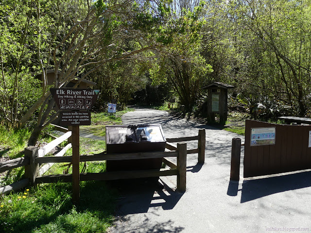
First up, that Quest. It says to start at the Quest box a quarter mile along the trail.

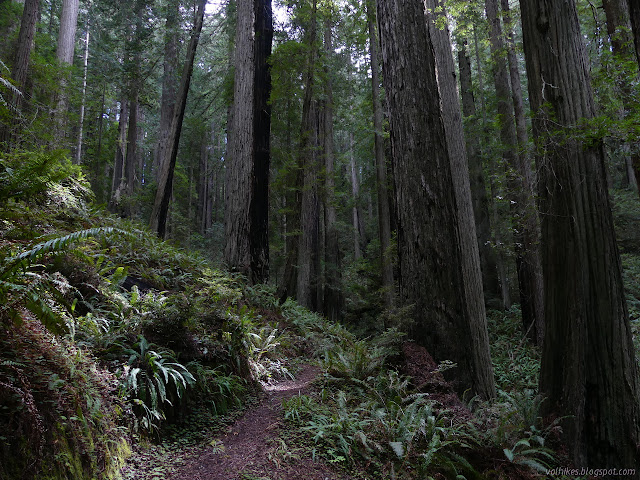
Then one is to take the gravel and dirt trail through the trees for the first few stops. It swings close to the river and around the remains of an old residence where the caretakers of the area once lived.


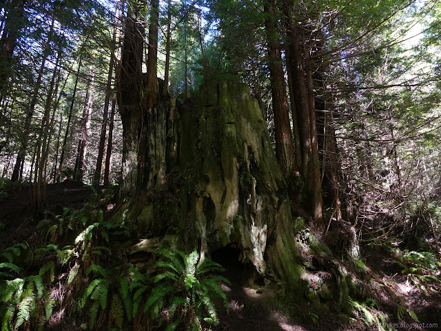
Back on the paving and continuing up the river, the barn is the next stop. It was moved and restored and now houses educational displays. Of course, it is closed. Further along, I am asked to pay attention to the stumps and how they sprout. There's actually quite a lot of them. I think this is common because fire prone areas tend to have the plants that do this, but it is actually rare. That indicates it isn't normally an advantage. I wonder why that is.
Old bits of train trestle still exist, so that is a stop. What appears to be the broken pieces of an old truck is not a stop. I keep thinking I can see old level from a road bed above the current one. Apparently that is because there was one there. I wonder why they didn't use that old bed for the current one. The final stop is Falk, but there is not much of the town to see now. The area is closed to entry.


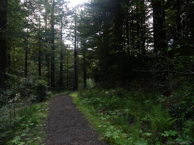
I've got my answer (again), so it is time to leave the paving for mile 2, as marked by a sign. The trail is still wide and gravel, except where land slide has adjusted it. I'd forgotten about the landslide completely, so the sign that the trail is closed in a half a mile makes me worry.


So the trail has been closed, but the bypass is not. That's how I interpret the sign with an arrow upward saying only "trail closed", anyway. The trail looks nice from here while the bypass goes uphill on slick mud that threatens to help me to the ground with each step. I have poles, but there are very few marks in it from others with poles. There are plenty of slipping footprints. It doesn't quite get up out of the slide, but a ribbon marking the reserve boundary flutters not far above it. Getting across is not so bad, but down the other side takes a bit of care. It's nice to be back on the gravel on the far side.
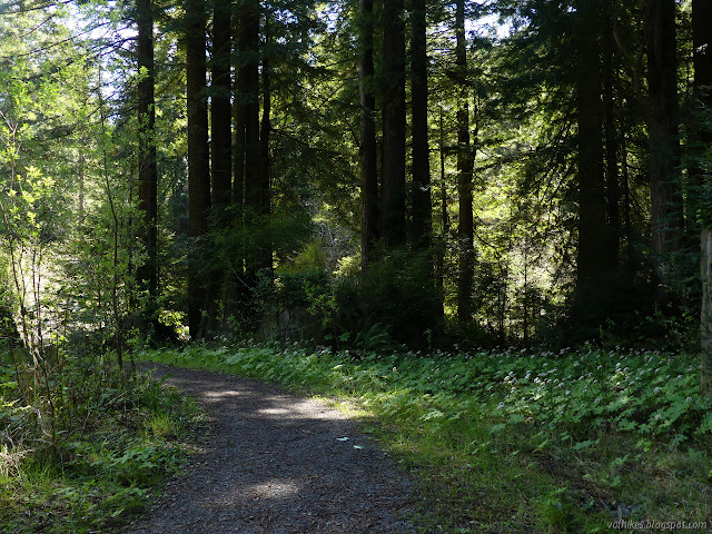
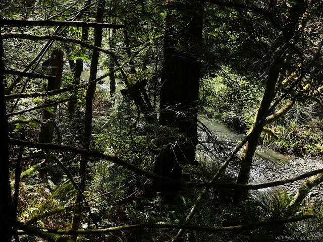
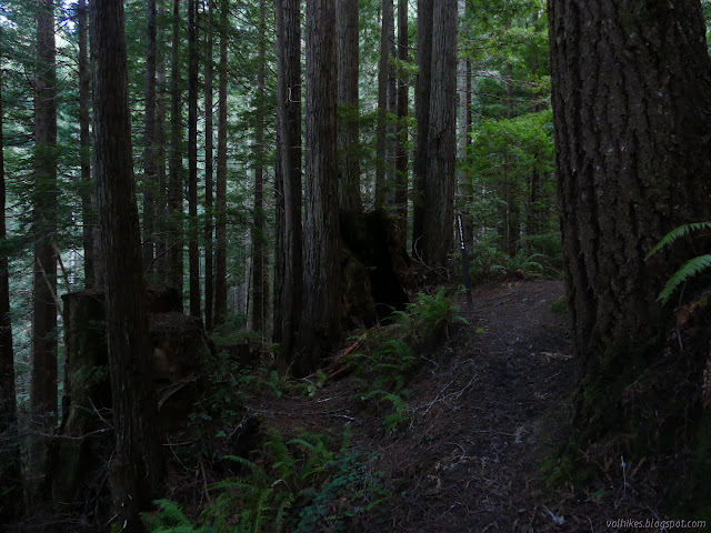
Mile 2 was marked by the last bridge across a tributary. Mile 3 is marked just before the trail crosses the river and starts to climb. I guess the trillium isn't feeling so bloomy around here because I have finally spotted the first one of the day. The trail leaves the bits of old road for other sections, so there are long sections of narrow trail here. Sometimes the hill is steep enough that stepping off the trail would not be an option. I seem to be the only one using it anyway.


It is easy to characterize the trail as three miles of flat and two miles of climb, but once it gets up to a sort of ridge area, it really does more traveling across than climbing. It feels like quite a bit of travel.


I'm not looking for an end to the stumps scattered about before getting to the split for the little loop at the end. I remember how it just touches the old growth rather than being entirely within it.
I pass a few more stumps before finally coming to the reward for the miles.

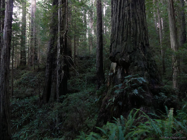
Then past one last stump, there they are. Big trees that have seen some years. Fire has carved its way along most so that every one has a very distinct look. There's still narrow trees. Someone has to be the big old trees standing tall when these fall in a few hundred years or more. They'll have developed character by then, too.


Far too soon, I'm back to the stumps. I want to keep on going up. I looked at a map and much of the reserve is actually further along the way the trail was traveling. There's another strip of logged trees, then vast old growth up there. I want to spend more time among them. What is this nonsense of hiking many miles to see just a few before getting turned back? But the trail doesn't go there and travel without a trail is not allowed here.

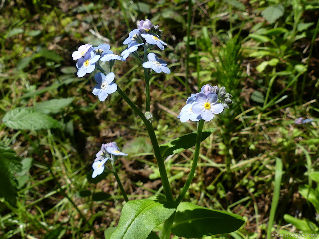
So back I go. I missed a few things on the way up. There's a stem with circling leaves that suggests to me that there might be some Humboldt lilies hanging across the trail in a few months. I saw a couple in Prairie Creek, too. My list of where to find them up here isn't very long yet. I take more note of what is actually blooming now on the way down.


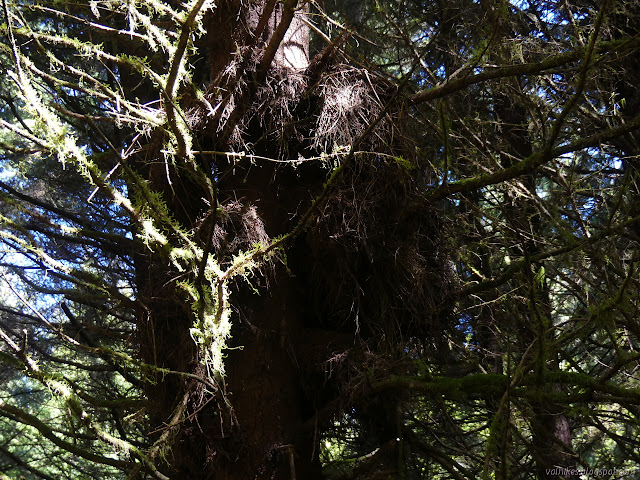
I thought I heard voices up among the trees, but no one else was up there with me. No footsteps on mine in the muddy spots. Half the brain for processing sound is devoted to sorting out speech, so they say. It does tend to find more chatter than is really out there.


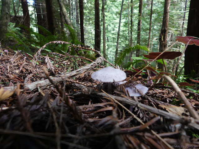
I also thought there wasn't any trillium until I started climbing, but there's plenty I just didn't notice while looking at other things.


There's other people again once I'm down across the river once again. There's a three mile marker as the trail climbs up to the old road bed following it. I noticed the four mile far up and it feels like that mile was a lot longer than the other ones. Except for the muddy bypass, it's all easy. I finish it with mud plastered down one side, but it was a really soft fall. So much for those poles. There's other muddy trousers on the way back. I'm not the only one who got too sloppy along the way.


©2020 Valerie Norton
Written 12 Apr 2020
Liked this? Interesting? Click the three bars at the top left for the menu to read more or subscribe!


Comments