Posts

Showing posts from October, 2023

Garnet Hill and the Ely Benchmark

Image
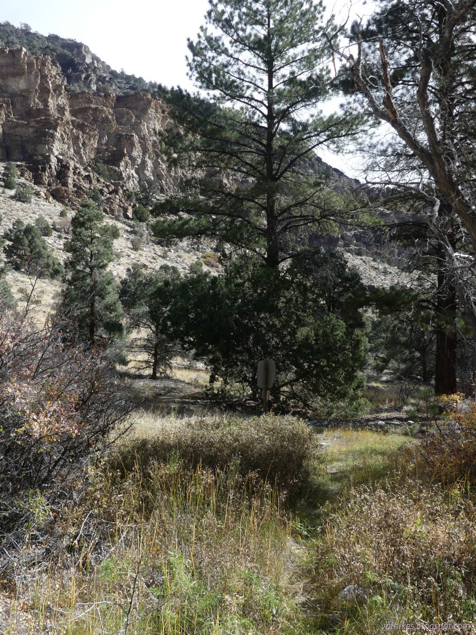
Garnet Hill Recreation Area Bristlecone Field Office BLM ( map link ) I stopped by the Bristlecone Field Office, AKA the Ely District Office, to pick up the lovely Ely District Recreation Opportunities map and see what else they might recommend. They seem to be really pushing the Garnet Hill Recreation Area area, although they failed to mention that plans are afoot to improve the site. For now, it has good access roads, a picnic site, and two camping areas are mentioned although their locations are not even hinted at. I probably found one of them and used it as a staging area for a hike wandering the hills to the Ely Benchmark (which happens to be on a 1000 foot prominence peak), then back to tag what Peakbagger calls Garnet Hill. On the way, I also tagged a slightly better (by a peak bagger's standards) "Garnet Hill" with another benchmark on its side. The often used camping area is high up, so there's already panoramic views of the copper mine and its colo

Cottonwood Springs touching the High Schells Wilderness

Image
Bristlecone Field Office BLM Humboldt-Toiyabe National Forest ( map link ) I was aiming at the trails at the end of Cleve Creek Road, which is supposed to be maintained for cars, but it turned out to have a rough patch that the baby car barely got over and then I caught sight of the slightly deep ford across the creek. Nope. Someone had stuck a big rock right in the middle of the road on the far side, too. I hadn't even got half a mile along and there were at least four to go. I decided to stop in the fancy (and free) Bureau of Land Management campground just outside the National Forest instead. Weather moving through the evening before putting clouds in front of Wheeler Peak. Mount Moriah is hidden away a little more deeply viewed from Cleve Creek Campground. I had thoughts about going up Black Mountain for a big day hike, but not just now. The morning was 5°F (-15°C!) and even with a late start, I was dealing with my pancake batter freezing (which happens around 17

Weaver Creek Trail

Image
Sacramento Pass Recretaion Area Bristlecone Field Office BLM Great Basin National Park ( map link ) I stopped again at the Sacramento Pass Recreation Area to hike the trail I hadn't had time for before . This one was constructed specifically for horseback riders who are not allowed on the other trails. It starts at the upper campground, which includes a corral for the horses that might be taking this trail. After starting furthest from the highway, it continues further away. Excellent. I found the sign for the start and got started on the trail, marked for motorcycles as well as horses and hikers. Slapstick marking the start of Weaver Creek Trail. It doesn't last long as a trail, though. It goes about 100 feet and joins a road that goes off at a diagonal a short way to the west. From there to the end, the trail is a series of markers at junctions. The markers to follow. They also mark off the miles. Looking back at the upper camping area. The rocky flat wh

Moriah: getting back

Image
Humboldt-Toiyabe National Forest (red line, map link ) DAY 1  |  DAY 2  |  DAY 3 Another cold morning for getting up and getting breakfast, but no fight was necessary with my now dry boots just to get them on my feet. I packed up and headed out. Turns out, my little pocket of fairly dry area was something special. The spaces I thought would be dry after a sunny day were still very soggy and no warmer than my sheltered area, especially on an overcast morning. I probably had the best spot. Water flow just below the dry camp. The wide open meadow below is still very soggy. Trail covered in aspen leaves below the nude trees. My shoes got soggy again, but the water stayed on the outside. I was looking for a couple flowers I'd missed photographing in the rain on the way up. There should be a couple of red and a purple. Forest succession snapshot. Hendrys Creek under the cliffs.

Moriah: Mount Moriah and The Table

Image
Humboldt-Toiyabe National Forest (purple lines, map link ) DAY 1  |  DAY 2  |  DAY 3 Morning came with the temperature in the teens. The trees and canyon walls promised that waiting for the sun would take too long. My wet boots were stiff, but the material hadn't taken in much water and with a little pressure, they bent and allowed my feet in. At least they weren't wetting my socks? Yet. I thought I might move later, down to the more open space half a mile below where the sun should hit earlier. For now, I packed up for day hiking and followed the dry streambed upward. It didn't stay dry. There was another section of flow above my camp and some springs above that. Spring water right about where the Forest Service topo says there should be spring water. Mount Moriah on the left far above the head of the canyon. It wasn't all that far above my camp. There were more used campsites in the area of the spring. After that last water, the trail turns, crosses

follow by email