Cottonwood Springs touching the High Schells Wilderness
Bristlecone Field Office BLM
Humboldt-Toiyabe National Forest
(map link)
I was aiming at the trails at the end of Cleve Creek Road, which is supposed to be maintained for cars, but it turned out to have a rough patch that the baby car barely got over and then I caught sight of the slightly deep ford across the creek. Nope. Someone had stuck a big rock right in the middle of the road on the far side, too. I hadn't even got half a mile along and there were at least four to go. I decided to stop in the fancy (and free) Bureau of Land Management campground just outside the National Forest instead.


I had thoughts about going up Black Mountain for a big day hike, but not just now. The morning was 5°F (-15°C!) and even with a late start, I was dealing with my pancake batter freezing (which happens around 17°F, at least that's when it is quick enough to require extra scraping). Unseasonably cold is miserable! Plus the plan kept getting longer. For a shorter day, I decided explorations to the south was more appropriate. There's some pretty topography in the mountains to the south.

There's a lot of flat road to get there and I went ahead and tried to drive it. The poor car. These little cars really are more capable than people think, but I've realized it is officially a classic in a year and it's my only transport. I got it up a rough slope and then decided to stop beating it up shortly after. I pulled off into the sage and got to walking instead. I still wasn't quite sure which bit I should head for, but decided I was on the wrong road and cut across to the next one south to head up.
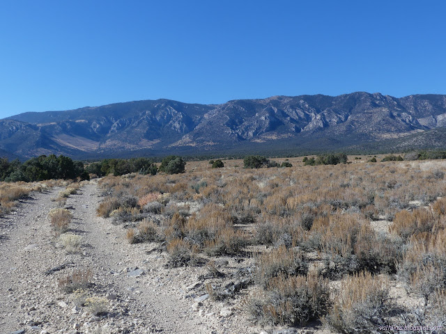
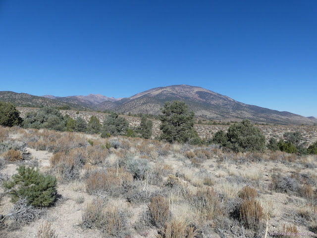
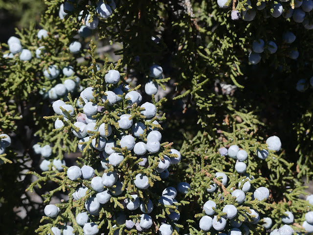
The wilderness has a cut out for the road I was on and people have been taking advantage of it. I still wasn't feeling like I had got to the mountains while along it. At the end, there's a wilderness marker and the end of marked travel. One can only wonder why, but there is a line up the ridge of long ago cut trees. Fire line building?
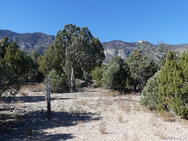
I decided to head on up to the top of a minor peak that was on the way to the real mountains behind.
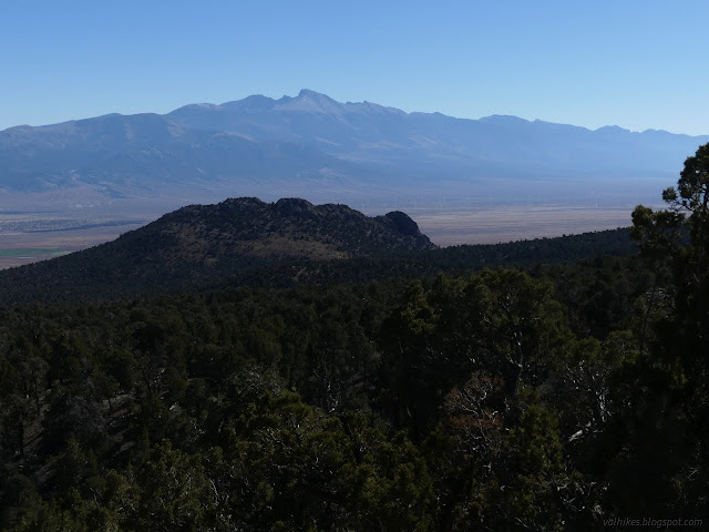

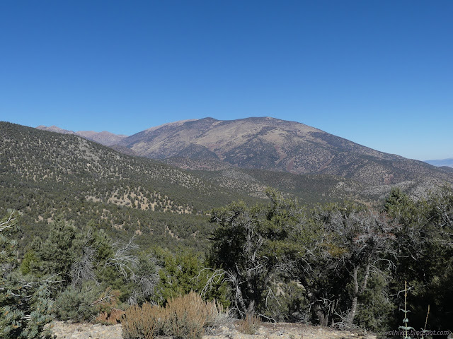

I decided to head north and catch a bit of trail shown on the Forest Service topo. It connects to the road I was parked on, so made a bit of sense for looping over to.
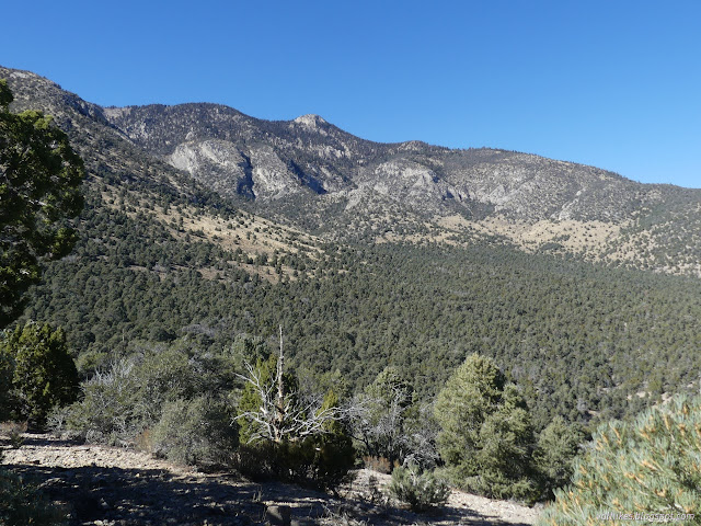
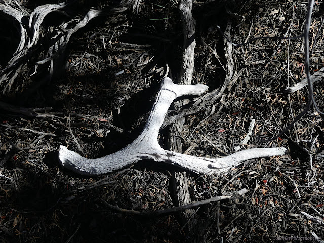
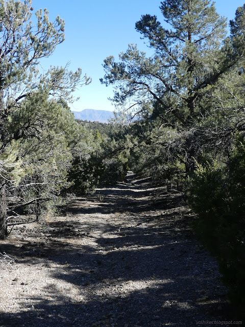
The trail was right where the map said it was in the form of a decaying road. I followed it down fairly easily.
I decided next up would be Cottonwood Springs. There is another legal road surrounded by wilderness accessing them. I figured it would be going up into the canyon with the domes, but that was not the case. When the landscape got easy, I cut across to the other road.
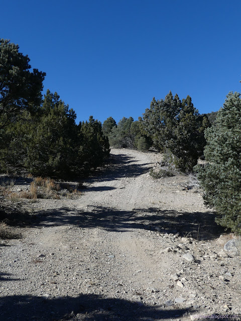

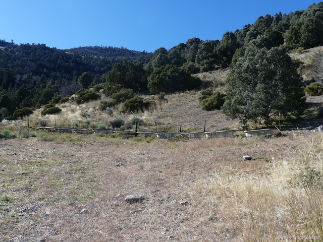
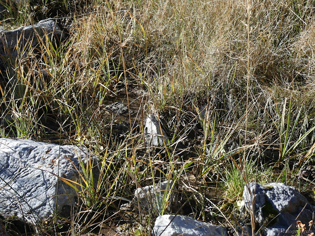
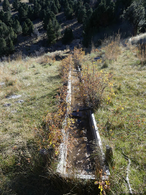
The end of the road was marked by a row of troughs barring the way for any more travel. Most of them had water, but it wasn't flowing. I decided to continue on to see the spring. I walked up past a pair of signs that were clearly not being challenged by vehicles, finding more troughs and hoses and eventually a bit of spring. That last was deep in a stand of trees that are dying.

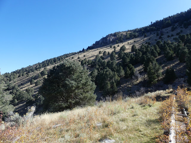
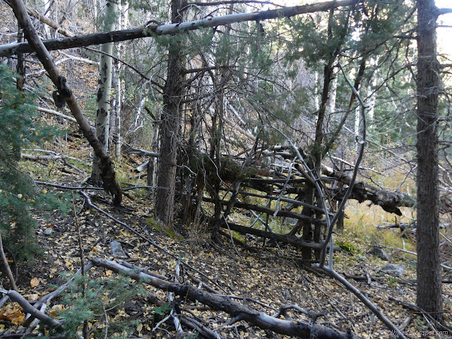
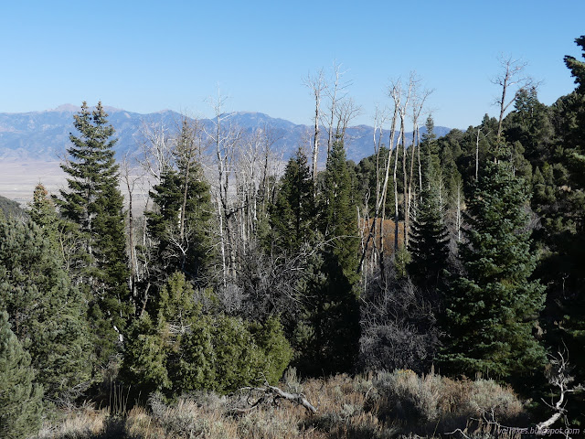
I headed back down, but I still had little explorations to do. The road had split and I'd guessed it was two routes to the same place, but the other piece never came back. I decided to see where it goes. (Yes, unfortunately, there are motor vehicle incursions after all.) The used route follows specific old mining roads and then just squiggles through the trees to the top of a second minor peak.

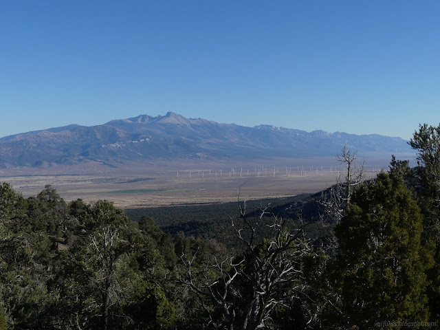
From there, down I went. I stopped by the bottom of the trail I'd followed halfway. It is even more crowded with branches there. The road has some rough points and follows right in the wash sometimes. There's no water to be seen for most the length. One cannot expect water to stay on the surface just because it has got there once, not in this landscape.
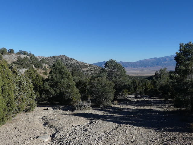
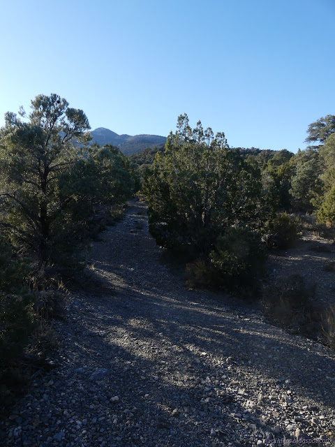

And so I returned, having had just enough hike to feel like I had the seed of knowledge needed to put together a real interesting hike, but not one I wanted to do just then. I had plans for a hike to the north, but not one I wanted to do in the predicted weather over the next week. It was nice to scratch the surface of the High Schells Wilderness, but I hadn't quite got what I wanted of it yet and wouldn't while staying at Cleve Creek.
*photo album*
©2023 Valerie Norton
Written 29 Dec 2023
Liked this? Interesting? Click the three bars at the top left for the menu to read more or subscribe!


Comments