Garnet Hill and the Ely Benchmark
Garnet Hill Recreation Area
Bristlecone Field Office BLM
(map link)
I stopped by the Bristlecone Field Office, AKA the Ely District Office, to pick up the lovely Ely District Recreation Opportunities map and see what else they might recommend. They seem to be really pushing the Garnet Hill Recreation Area area, although they failed to mention that plans are afoot to improve the site. For now, it has good access roads, a picnic site, and two camping areas are mentioned although their locations are not even hinted at. I probably found one of them and used it as a staging area for a hike wandering the hills to the Ely Benchmark (which happens to be on a 1000 foot prominence peak), then back to tag what Peakbagger calls Garnet Hill. On the way, I also tagged a slightly better (by a peak bagger's standards) "Garnet Hill" with another benchmark on its side.

I started off east along a rough road that sticks closely to the ridge line. There are a couple more well used sites along it, then it just travels.
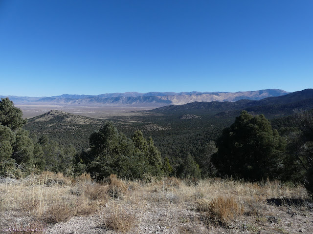
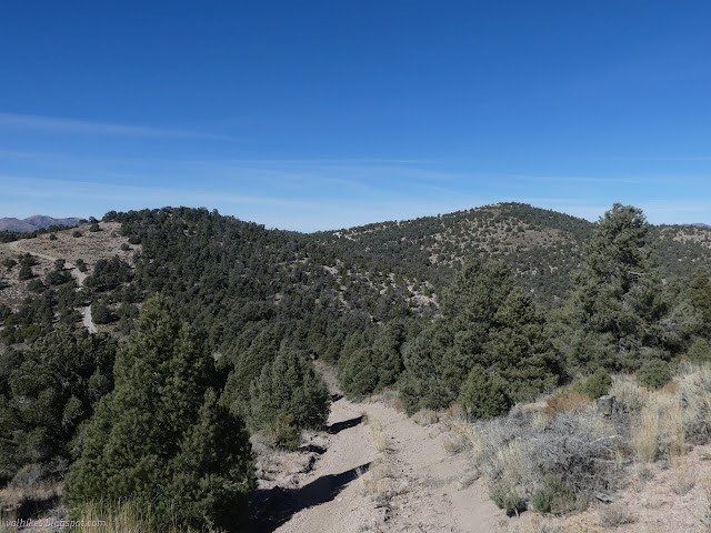
As I went east, the easy, rounded hills started to have sudden and sometimes high cliffs. They make the hills a little more picturesque.

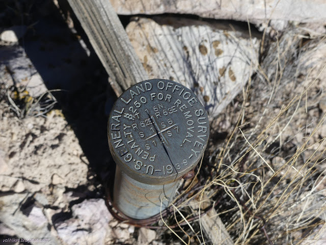
I noticed on the USGS map that there was a section marker near to where I would pass and decided to make an attempt. This did seem to be a benchmark motivated hike after all, the more the merrier. It was a little north of the map point, but I got it.

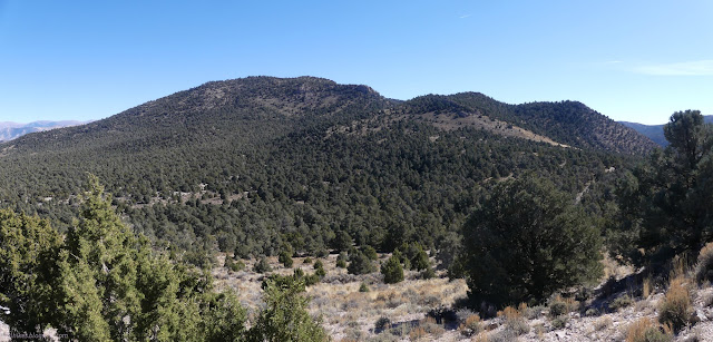
I had to drop down quite a bit to continue on to the real Garnet Hill and I managed to make a wrong turn along the way. Certain I hadn't seen the right road, I just made my way cross country to find the saddle west of Garnet Hill. It looked like a steep climb with a variety of cliffs to run into.
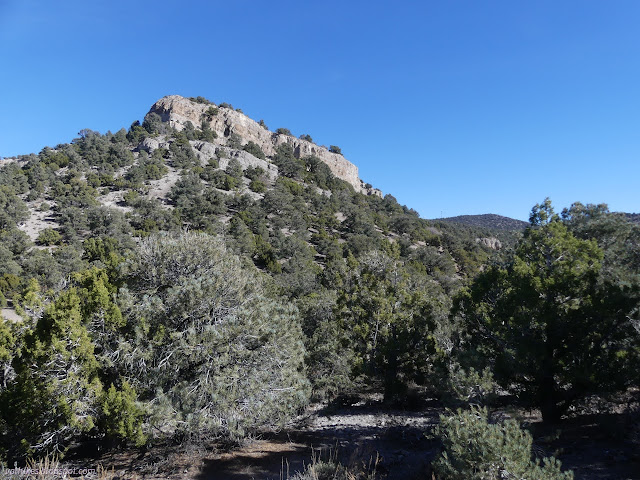
The road ends by the saddle, so the rest of the way is cross country. I did manage to navigate that well, missing the worst of the loose and steep slopes as well as the cliffs.
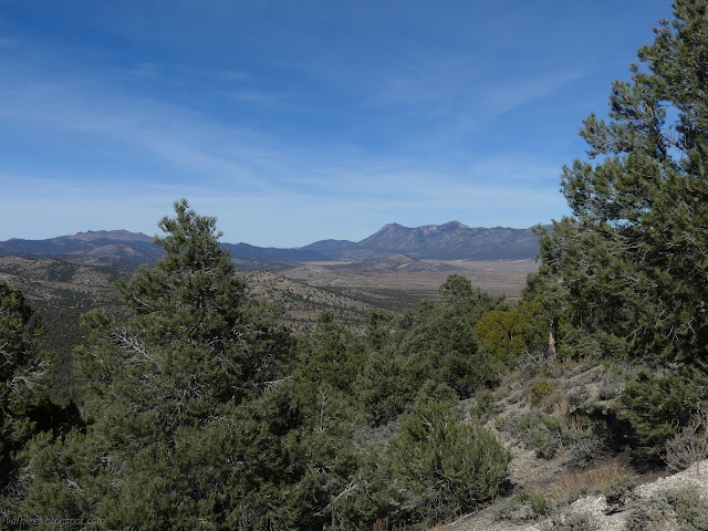
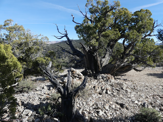
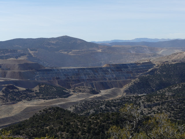
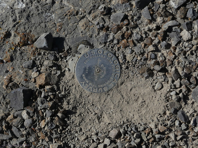
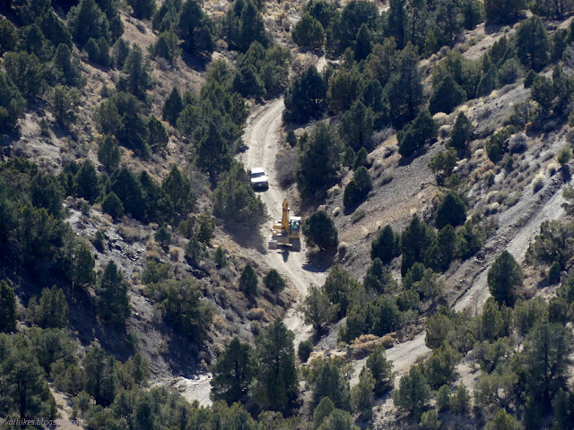
The top of Garnet Hill was nice, but I soon made my way down a little to the Lane benchmark. This sits at the top of a high cliff, so it has quite a view to the south. It does include the pit of the pit mine across the highway and a much lesser used mining area about the community (three boarded up houses?) of Lane. Not entirely unused, it seems, as I watched a digger slowly make its way along one of the track roads.

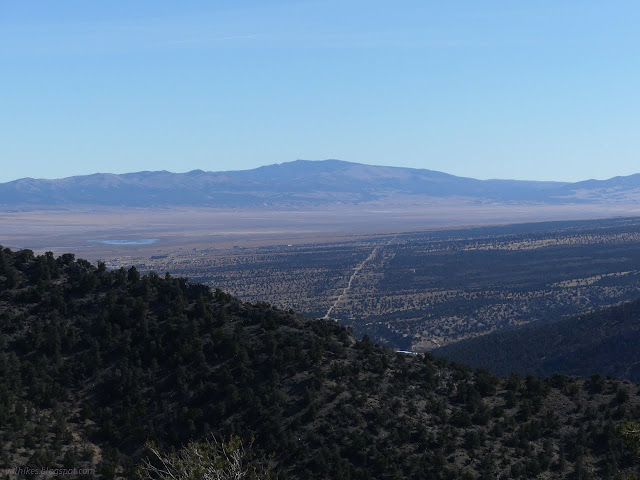
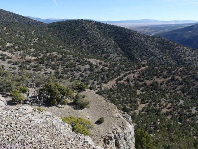
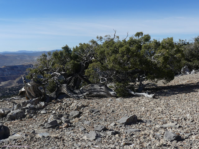
Turning east, I found a slope that wasn't too hard to navigate down. It was not too steep and the cliffs tended to small and easy to walk around. One was short and easy to climb down. I arrived at road near a ruined cabin. I decided to keep to ridge rather than dropping along the road to make my way toward the Ely benchmark.
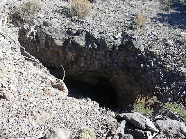
Eventually I hit road, but then I found a trail winding upward. It didn't seem wide enough to be official, but did take a sensible if a bit shallow route upward. I eventually left it for a more direct climb to the high point of this hike at the Ely benchmark.
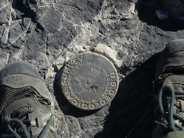


I couldn't stay long. It was already late and the sun goes down so early. I turned back and generally followed roads. I did try out an older road rather than walk one I came up and found it just stops, so had to cut down again. The roads drop and climb a lot at one spot, so I cut across there close to where I'd crossed the other way.
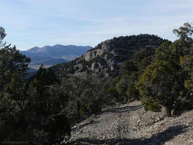
I followed some roads across the south face of Garnet Hill. I was sure they would go through to the saddle one way or another. They aren't mapped that way, but the distance is so short and it had sort of looked like steep road gets to the saddle from the south. They don't. Short doesn't matter much if the slope is steep and loose. It's just erosion from the saddle, no road.
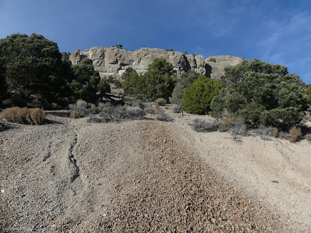
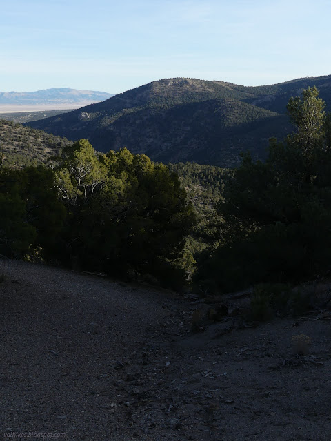
But once back to the saddle west of Garnet Hill, I was on easy street, at least for walking. The bit of road I had missed isn't getting much use currently and there were a couple trees down on it and plenty of growth down the middle.
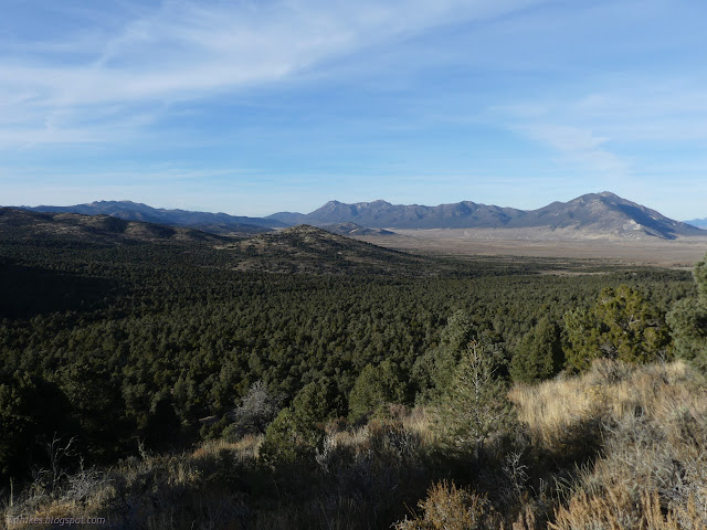
I noted the intersection and no reason I should have missed it. I remembered seeing the fire ring someone has built next to it. I followed the road down toward the access road, which is wide and compacted and only a little washboarded. Garnets are scattered across it. The rocks probably roll onto the road and the cars crush the bits that aren't garnet. They break up the garnets some too. Once near the main parking, there's a track road to the top. I headed up it to tag one more peak even though it is tragically not adorned with any benchmarks.
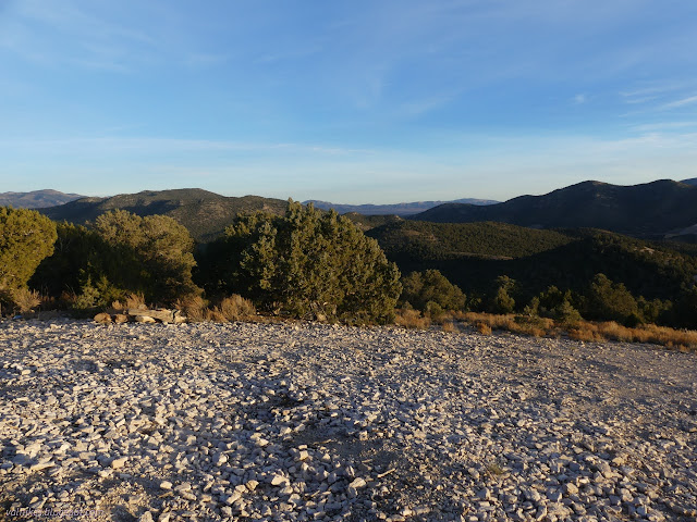
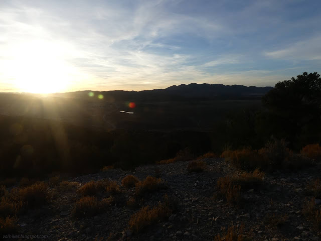
I followed trail back to the main parking area, then to the camping area. It was lined with holes dug by garnet searchers. I didn't look much on the hill. All the garnets I found were along the road.
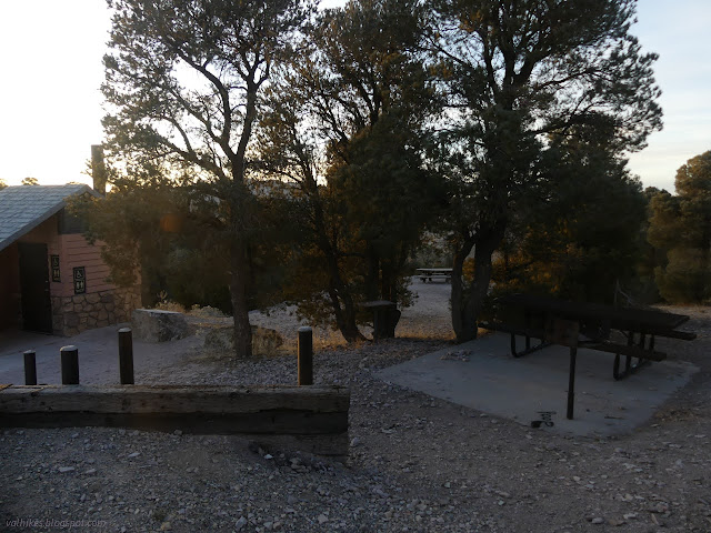
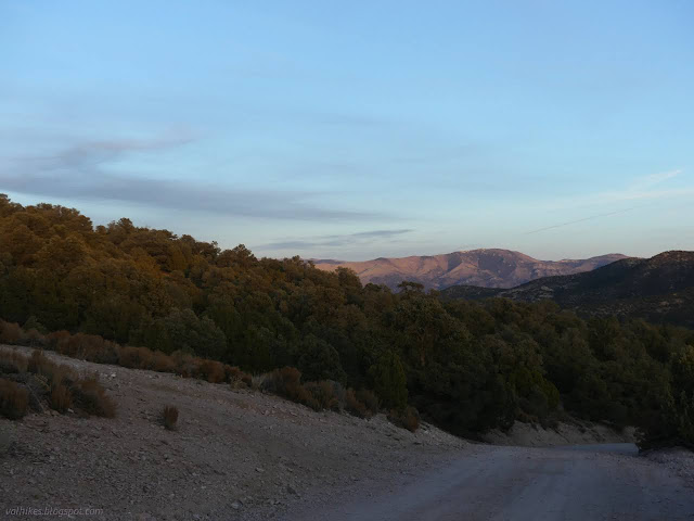
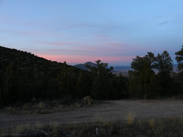
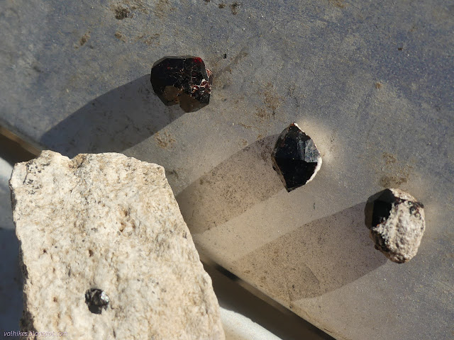
*photo album*
©2023 Valerie Norton
Written 30 Dec 2023
Liked this? Interesting? Click the three bars at the top left for the menu to read more or subscribe!


Comments