Cold Springs Ruins
Mount Lewis Field Office BLM
(map link)
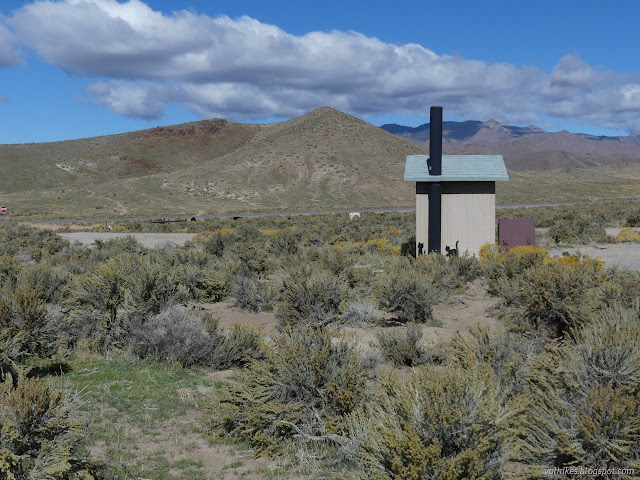
I never want to do a long drive, and this was quite a long drive, without finding a little something along the way. Well, next to a random toilet in the middle of generally Bureau of Land Management lands along the so called Loneliest Highway in America (US-50) are three little pieces of western history all in one clump. Across to the left is an old Overland Stage and Mail stop. Across to the right, a telegraph repeater and maintenance area. On up the hill at a nice little 1.5 miles is a Pony Express stop. So many ways to communicate across the expanse of what was already, in its way, flyover country even before planes. Oh, they also could stop along the way, same as the planes.

I decided first to cross over the highway to the nearby locations. There's a paved lot on that side with a state historical marker and claims to an ADA compliance all the way to the ruins on either side. There's a paved path down, but I wouldn't recommend trying the rocky and eroded old road that completes the path in a wheelchair.

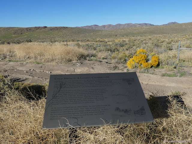

I headed over to the Overland Stage stop first. That seemed like it might be the biggest and most interesting. It satisfied biggest. Unfortunately, except for a rock wall, it is entirely locked away in chain-link topped with barbed wire. There are little signs scattered around inside, but access to those has been cut off with a bulky lock on the gate.
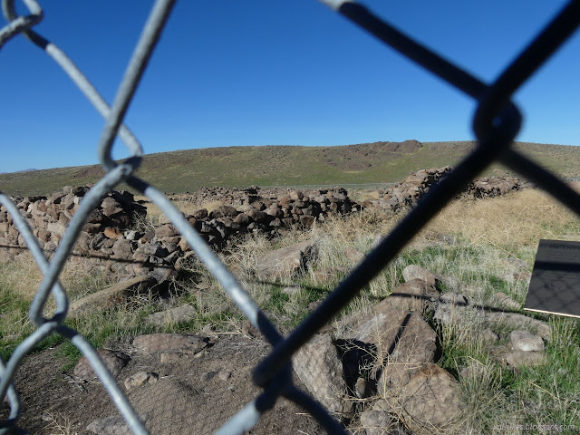

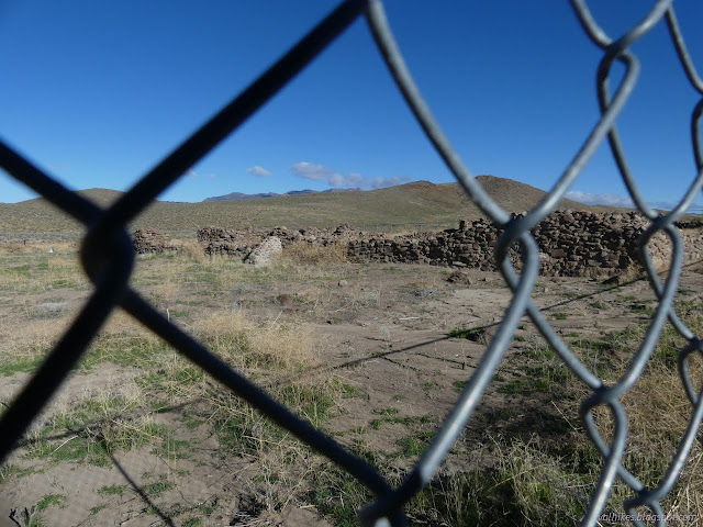

I continued on to the Transcontinental Telegraph station without much hope to really get to see it. Here the insult of the chain-link and barbs were added to by not even putting in an opening in the range fence.
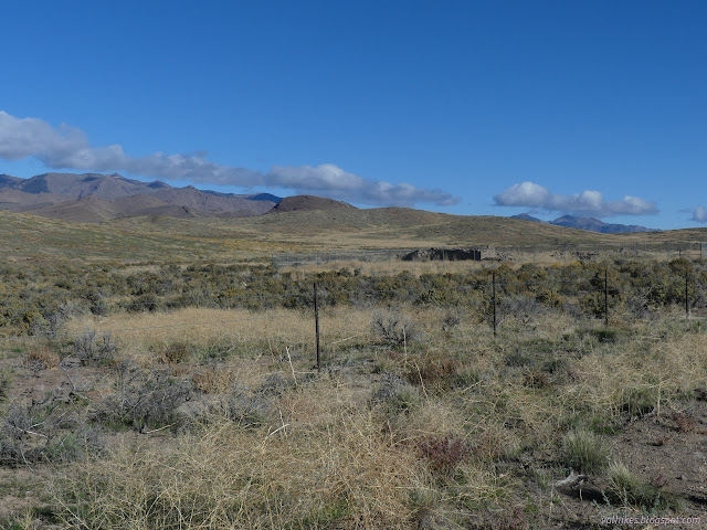
I squeezed through the range fence where someone had already opened it a bit. There was another nice, sturdy padlock to keep all from passing through the gate. At least it's much smaller and you can get a better look at it from outside a fence?
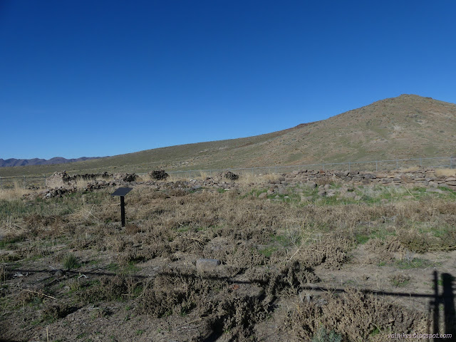
So back through the range fence and across the highway, I got myself to the trailhead for the original Pony Express station. (After the Overland Stage station was built, they took up residence there.) I hoped that the thing you had to invest real time in getting to would not be locked down so tightly. I couldn't even see where the ruins are from the trailhead.
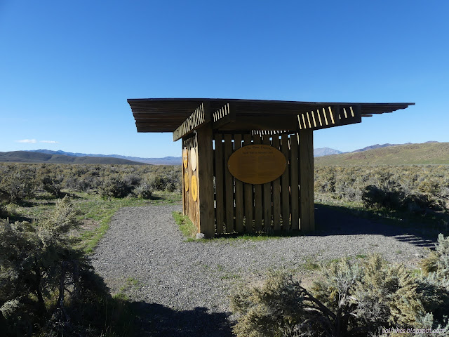
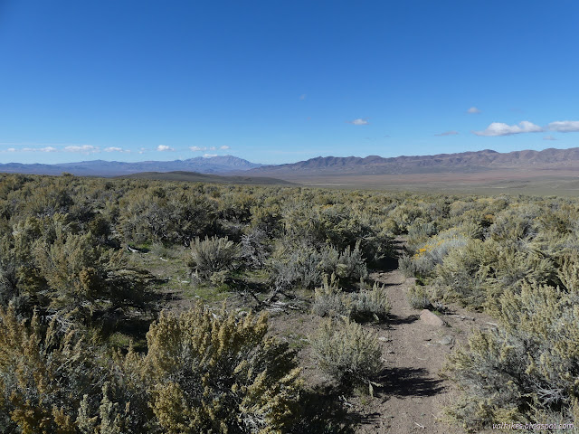
The trail gets use and is visible through the desert. There's often rocks lining at least one side of it. It does get a little like a tiny wash in some spots, so it's not perfect.
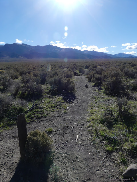
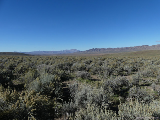

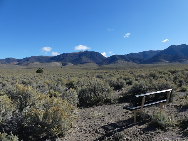
There are benches at ⅓ and ⅔ along the way, each pointed to get a little different view. All the better to make resting more restful, should it be needed.

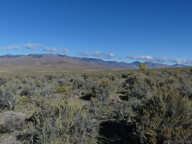
And there are flowers still! Even in the desert in fall and with frost coming down at night.


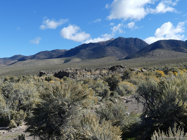
Then I got to see the ruin finally. It is fenced to keep the cows out, but the gate works just fine.
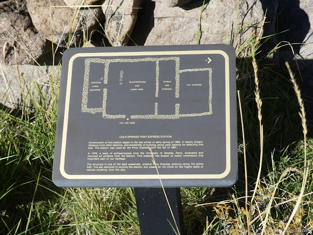
I got to read the outside sign, then cross the stream again and walk in to see what goes on on the internal signs too. Plus I got to see the actual thing up close. It has had the wall next to the stream fall out since it was stabilized, though. Do we blame people being able to lean on it when they shouldn't or the water?
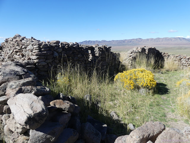
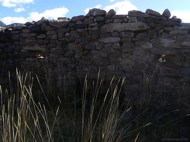
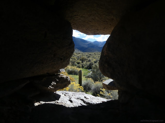
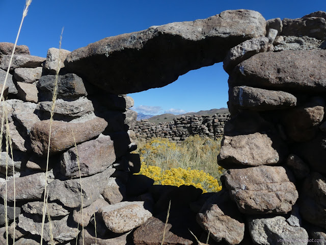
There's no bench to rest on near the ruins, a bit of an oversight, but I found a suitable sitting rock just upstream for having a snack and watching the mountains before rolling back down the gentle hill.
A few miles down the road, I stopped by the New Pass Station. This was a stage station and freighter stop. It is also locked down tight, but one can get a look over it a little better since the road is built up next to it.
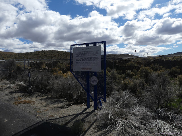
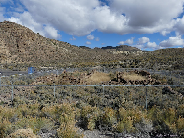
The best ruins were, of course, the ones I could walk around among. It's really not very good to just look through chain-link at the outside.
*photo album*
©2023 Valerie Norton
Written 26 Oct 2023
Liked this? Interesting? Click the three bars at the top left for the menu to read more or subscribe!


Comments