Moriah: Mount Moriah and The Table
Humboldt-Toiyabe National Forest
(purple lines, map link)
DAY 1 | DAY 2 | DAY 3
Morning came with the temperature in the teens. The trees and canyon walls promised that waiting for the sun would take too long. My wet boots were stiff, but the material hadn't taken in much water and with a little pressure, they bent and allowed my feet in. At least they weren't wetting my socks? Yet. I thought I might move later, down to the more open space half a mile below where the sun should hit earlier. For now, I packed up for day hiking and followed the dry streambed upward. It didn't stay dry. There was another section of flow above my camp and some springs above that.
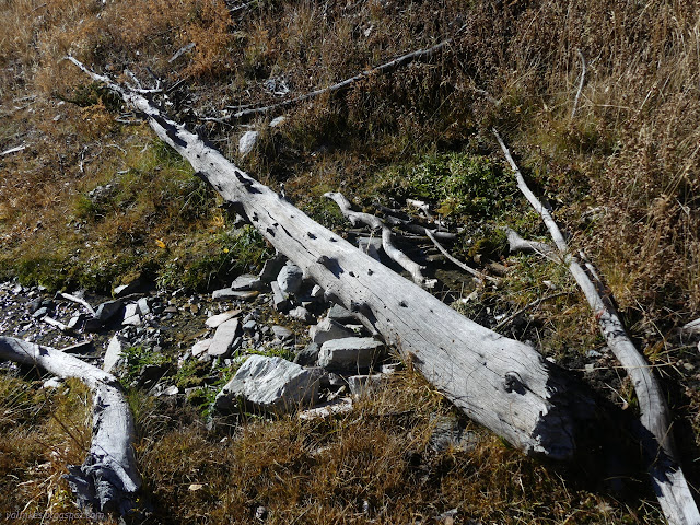
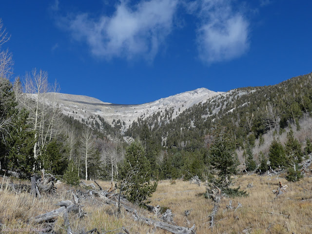
It wasn't all that far above my camp. There were more used campsites in the area of the spring. After that last water, the trail turns, crosses the canyon, and starts climbing out toward The Table.
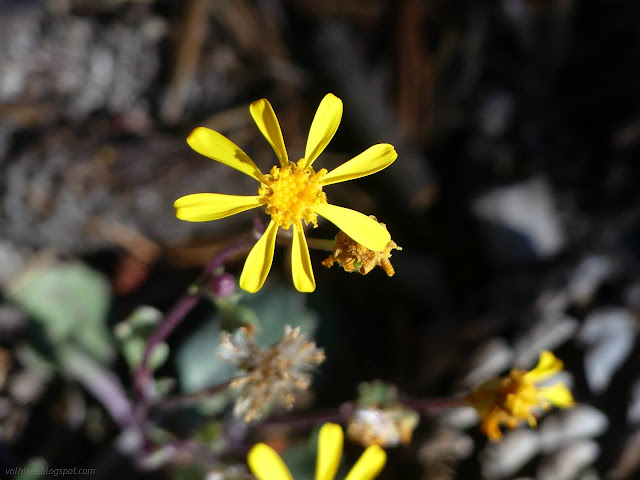
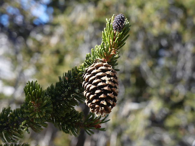
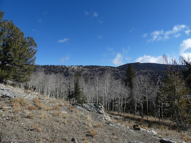

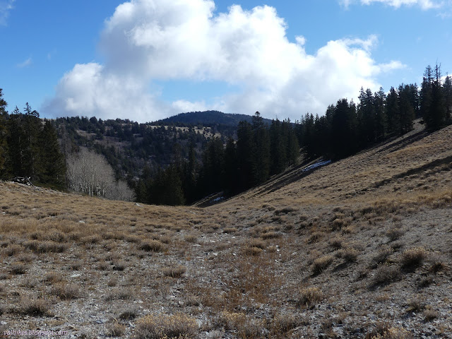
The map information states that high trails aren't all that visible and are marked with large cairns. They started halfway up and by the top were a great help in keeping to the official route. The sign at the top also helped. It's another hint that there's really a bit of visitation to this area beyond a couple hunters.
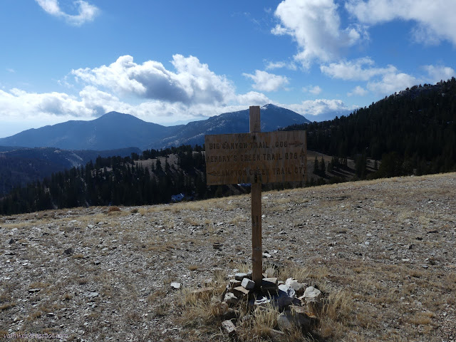
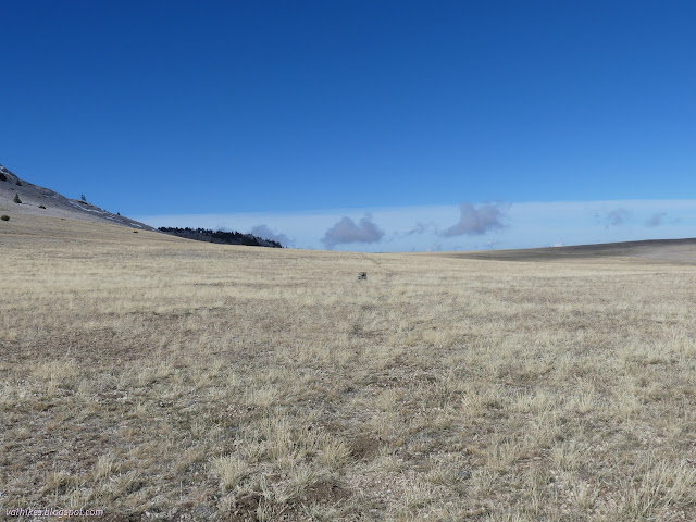
And is The Table deserving of the extra caps? From this point, it is certainly an impressive extent of high, flat land. It takes a little elevation to really appreciate that.

It's just a short walk to the next cairn to find the Mount Moriah Trail. I didn't have much faith in the line on the map for this one, but I did find another line of cairns marching in a straight line up the side of the mountain. The map says it goes right up the ridge, no matter how steep, all the way to the peak.
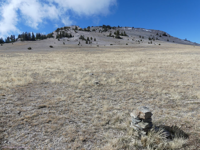
So I got to following the cairns and turned around to find that more impressive view of The Table.

If I had the time after tagging the top of Mount Moriah, I wanted to check out a couple springs marked on the Forest Service topo. As I looked out over The Table, I also picked out a couple populations of trees I wanted to stop by. First, off to obtain the ostensible goal of this trip.
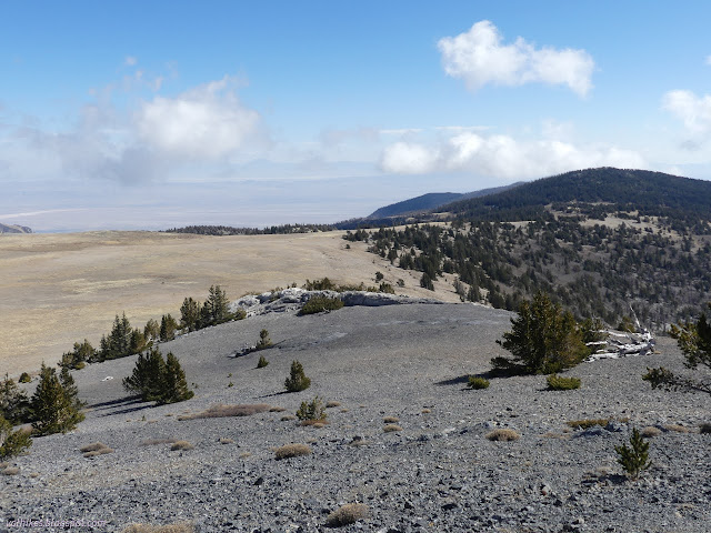
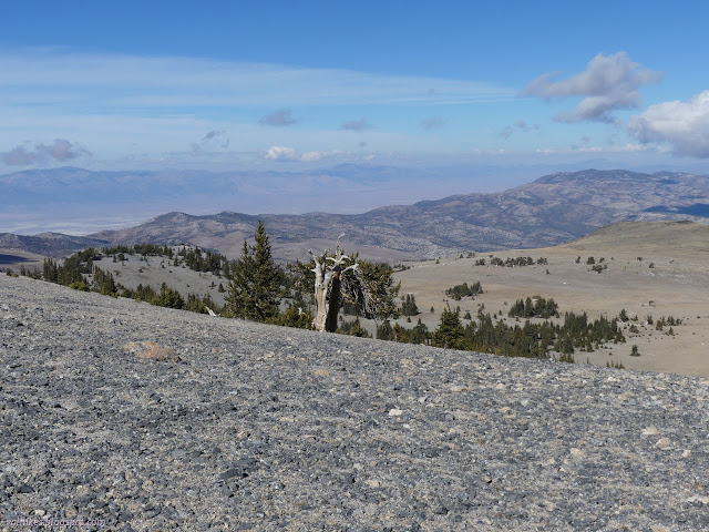
Arriving at the ridge, there were more small cairns along a rough path right along it, but I was distracted by the beautiful line of trail that extended across the mountain, climbing slowly. There are two false peaks prior to the actual high point and the trail would avoid them. This trail looked much more like something the Forest Service would build than the line on the map. I set off along it.
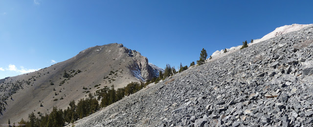
The trail passes by some big, beautiful bristlecone pine trees while providing a very nice place to stand on the steep slope. It really is a lovely trail.
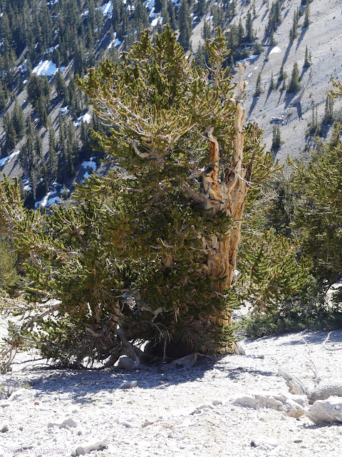
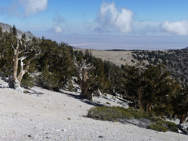
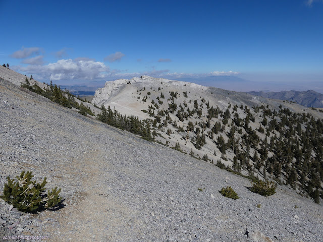
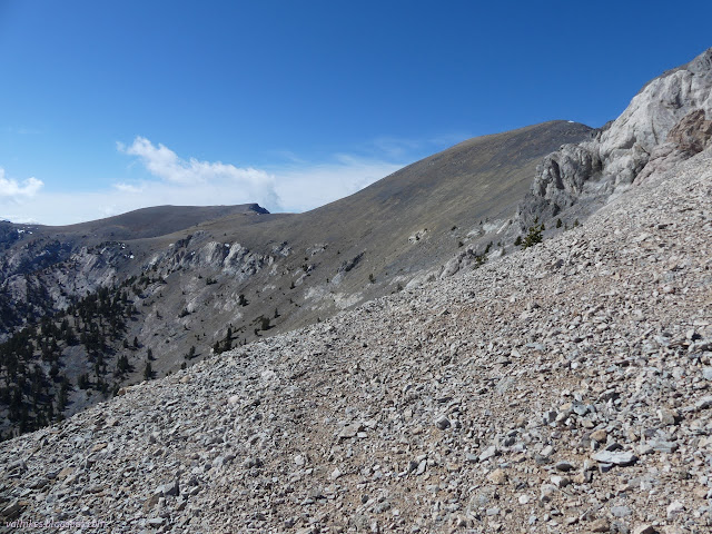
The trail suddenly becomes not so good as it crosses a heavily eroded spot on the south side of the second peak. I saw a way and picked my way along it. It would have been better were I a mountain goat, but the section is only a couple yards. Just enough to be entirely away from the better trail surface. From there, the trail continues on toward the saddle on the far side of the high point, but is not as well defined.
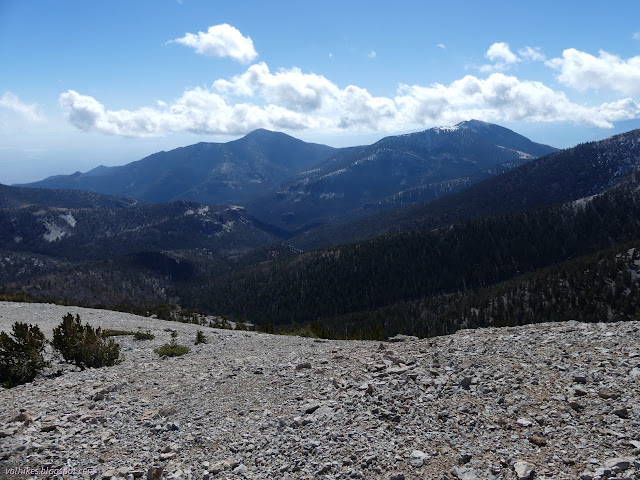

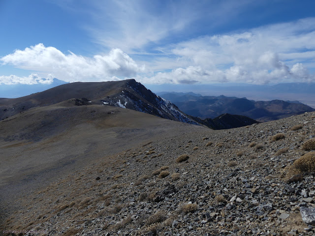
I lost patience with the trail and once the slope above me was little enough to comfortably climb it, I turned and did so. There was only a few hundred feet to go to the top. Well, 500 feet.
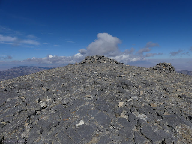
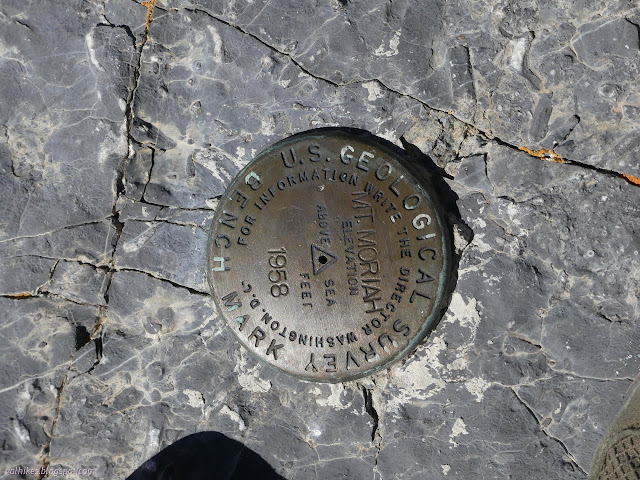
It was still a little cold and windy at the top, even in the sunshine, but my shoes had dried. I pulled on some warmth and had a look over the register. People have been up in the course of coring some bristlecones. One checked on a spring before coming up and it made me a little more optimistic about the ones I wanted to check on. I added my name to the book.


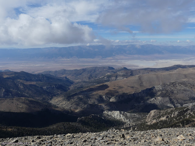
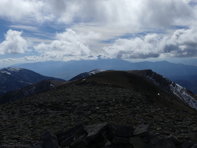
I decided to return along the ridge as marked on the map. There is a use trail here, but it is not built and not particularly marked. I stuck to the ridge top over the first false peak, thus bypassing that one sketchy portion of the trail below the cliffs of this peak. Then I headed down the smoother of the ridges to the trail below. It was quite steep.
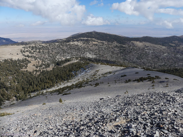
The ridge is much easier to walk once at the trail and I walked it down to meet some of the bristlecone pines. Had I not been determined to check on the springs, I would have continued all the way down the ridge until I met Hendrys Creek Trail for a much shorter return.
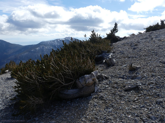

Since I was determined to see the springs, I headed back up to the trail and followed it back to the cairns and followed those back down, joining the better traveled trail at the next cairn west. I followed Big Canyon Trail a while, then turned to visit another group of bristlecone pines to the north.
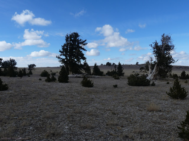
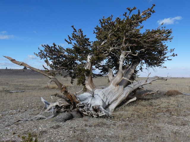
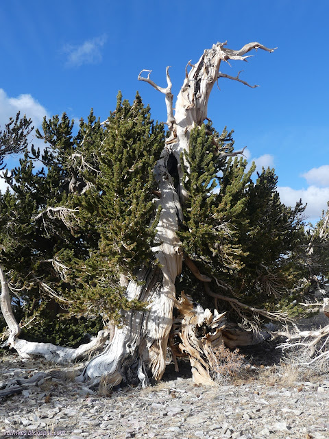
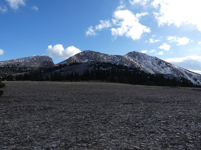
I passed by another group of trees on my way to check out the first spring.
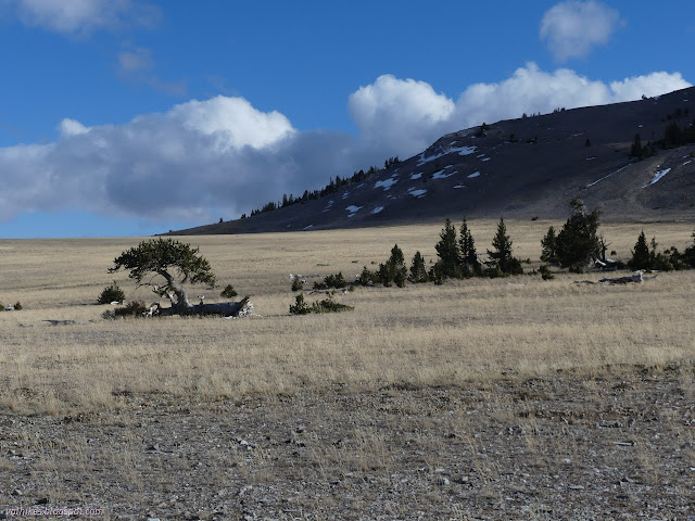
There's moisture in the dirt, or at least it looks like there has been, but there's no spring. It isn't localized enough to get any water. I headed to the second with the same result, but found some excellent view on what could be called the edge of The Table.

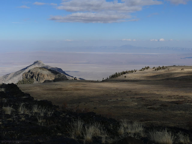
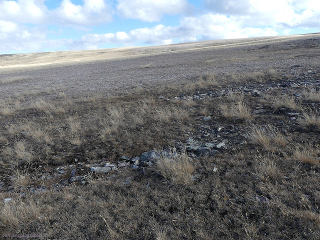
The clock had ebbed along and it was time to head down to camp once more. I wouldn't get to visit the population of trees on the east side of The Table.
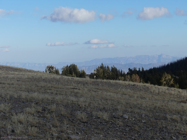

I had no motivation to act on my morning thoughts to move camp to a sunnier spot below. Flat and dry and nearby water and quiet and, above all, already set up. I spent another night right where I was in the shaded canyon.
Same trip, next day ⇒
*the photo album*
©2023 Valerie Norton
Written 26 Dec 2023
Liked this? Interesting? Click the three bars at the top left for the menu to read more or subscribe!


Comments