Eagle Peak
Great Basin National Park
(map link)
After my sprint up to Dead Lake a little too late in the day, I kind of wanted a rest day. Unfortunately, I started poking around the map. From the Eagle Peak Campsites, Eagle Peak is only 1.75 miles off! It is a rather striking peak with a cliff of limestone on the south side visible from the camp. The Great Basin National Park brochure map indicates the top is occupied by ancient bristlecone pines. Oh, and I kind of wanted a brief moment of signal for one little bit of research I still wanted to do before heading off on a backpacking trip from the end of the road and there would likely be a little signal at the top.

Of course I wouldn't be going up it the direct way. There is no way I would get up that cliff. I wanted to head up the edge along the left and then down along the edge on the right. It is also worth noting that the elevation difference is just over 3000 feet and there is no trail whatsoever. I noted that very carefully and decided this could well take all day in spite of the short distance. I was on my way to my impromptu destination at 9AM.
I headed a short way up the road until the ridge I wanted to travel was accessible. Then I turned and started up it, sometimes having thin game trails to follow, but mostly pushing through the mountain mahogany on my own. There wasn't a lot to see at first.

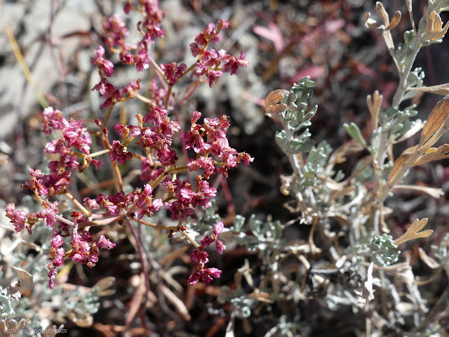
Pinions started to pop up and I thought they might be replacing the mountain mahogany. They weren't, but they did tend to make it easier to pass along the ridge.
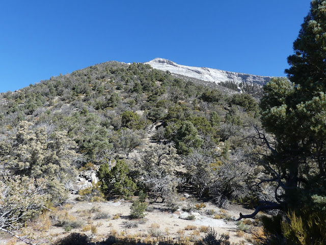
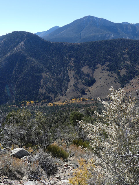
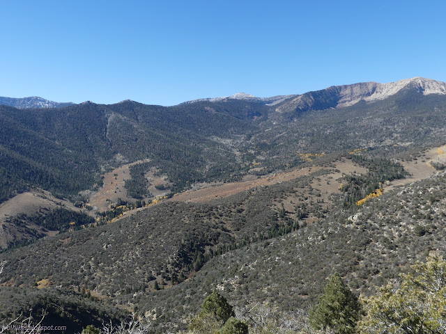
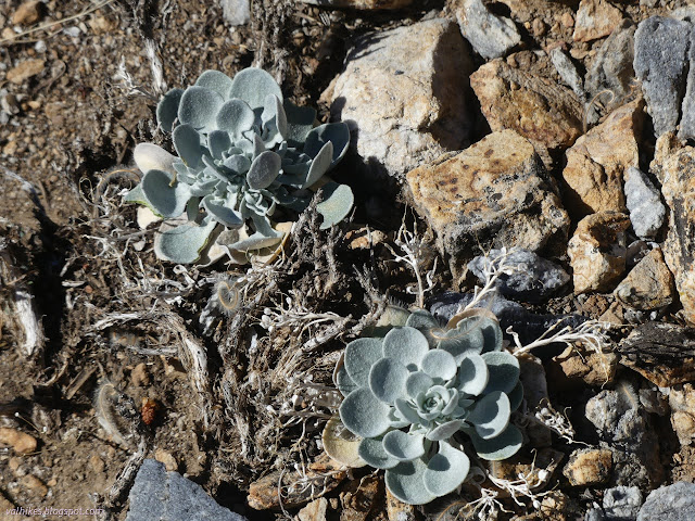
And then the bristlecones start. The mountain mahogany still doesn't give up, but everything is a little more spaced. There's still a long way to go.
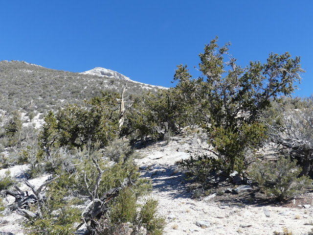
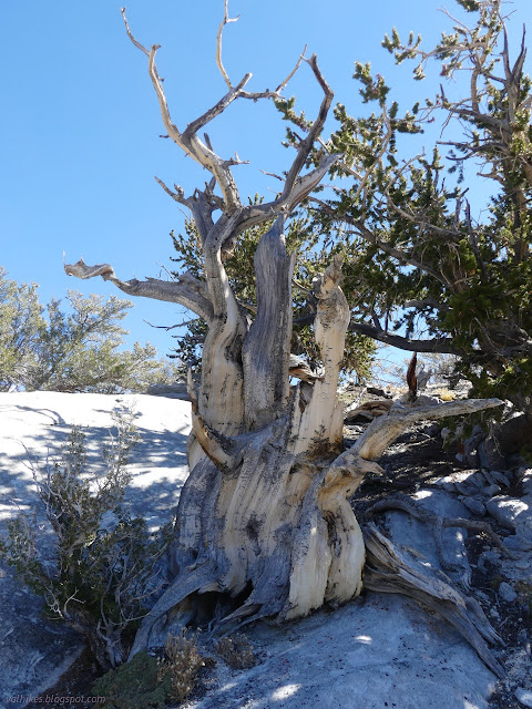

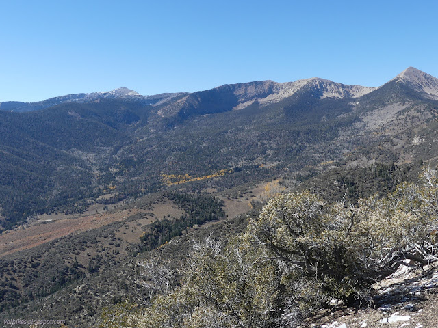
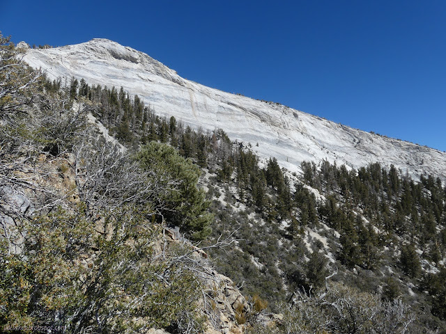
Travel got a little more difficult as I reached an area where there are humps along the ridge line. To the left, the steep loose slope was unattractive for travel. To the right, I was arriving at the first of the cliffs. I finally found some game trails to follow sticking close to, but not quite on, the ridge. It is a ridge full of rock with big, glorious crystal structure.
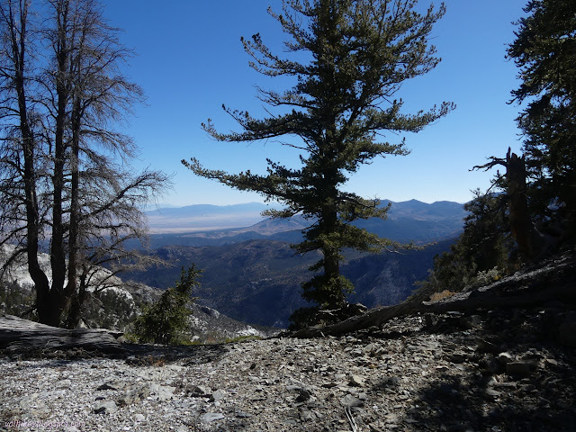
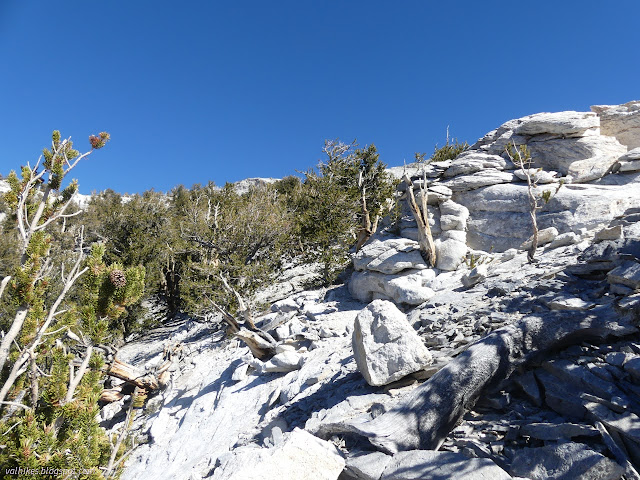
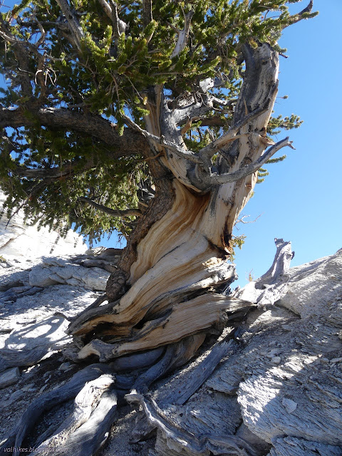

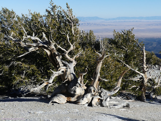
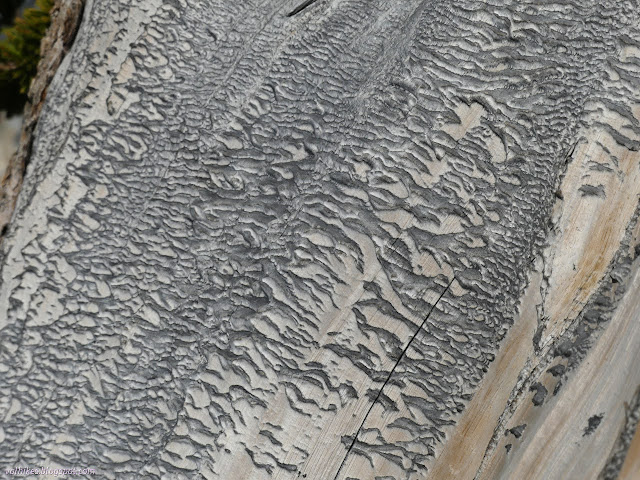
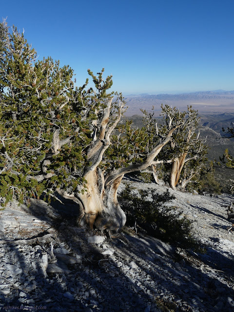
It was a mad world of different tortured shapes as I got up into the high rocks above the cliff and among the ancient bristlecone grove.


I got to the top of the cliffs only to discover that that is not the peak. There's still 600 feet to climb to get to the top of Eagle Peak, north of the top of the cliffs. If I wasn't so taken by the cliffs, I'd have noticed it while looking out from viewpoints the day before. There's two more bumps to get around and one to climb!
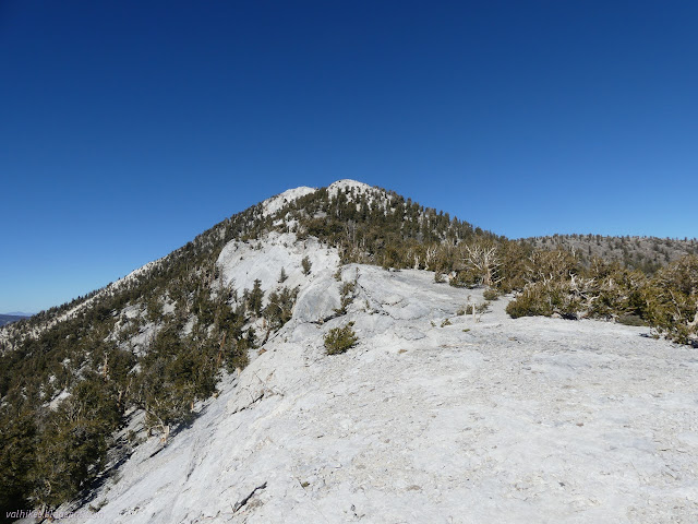
The top of the cliffs is a magnificent spot to get to, so I considered calling it done, but not for long. I turned and started climbing again. There's pretty reasonable walk arounds for the humps on the east side.
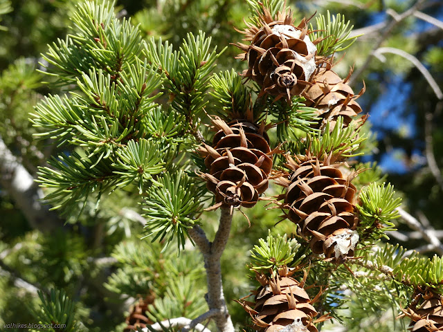
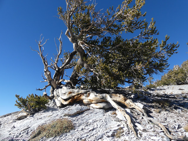
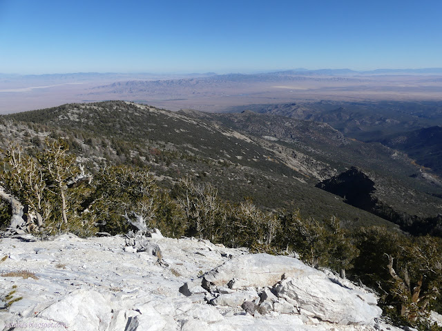
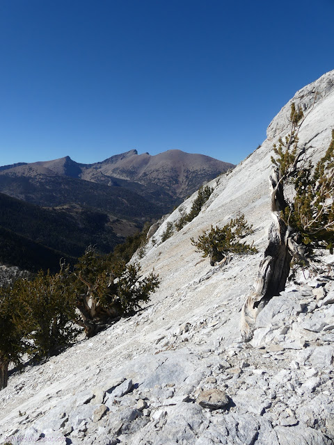
And so I finally arrived at the top of Eagle Peak.

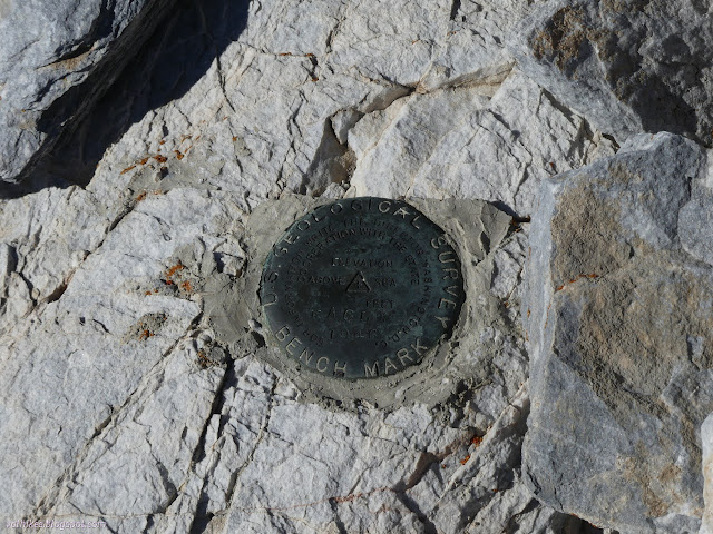
I had to read the description of the station to find the references. They are just bolts with washers marked "USGS R.M.", so a bit harder to find than usual. It mentioned the rocks were white "because they are granite", and the meaning of the large crystalline texture of the rocks finally clicked. These are actually granite, not limestone, at least at the top of the cliffs.
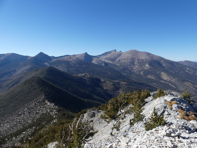
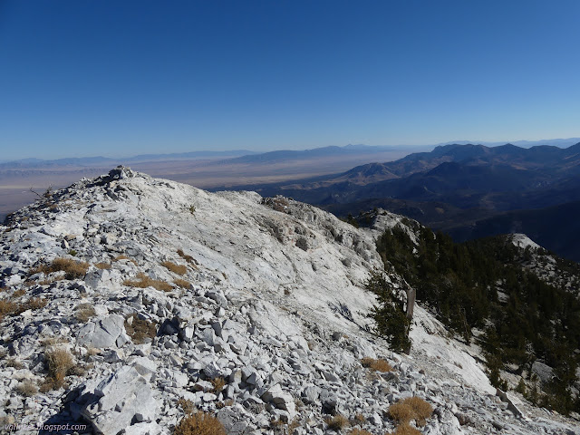
I flipped through the pages of the register to find that many people come up to this peak via numerous routes. There's at least four different starting points mentioned. I'm not the first to work my way up from the campground by the same name. I signed and added my support for that route.
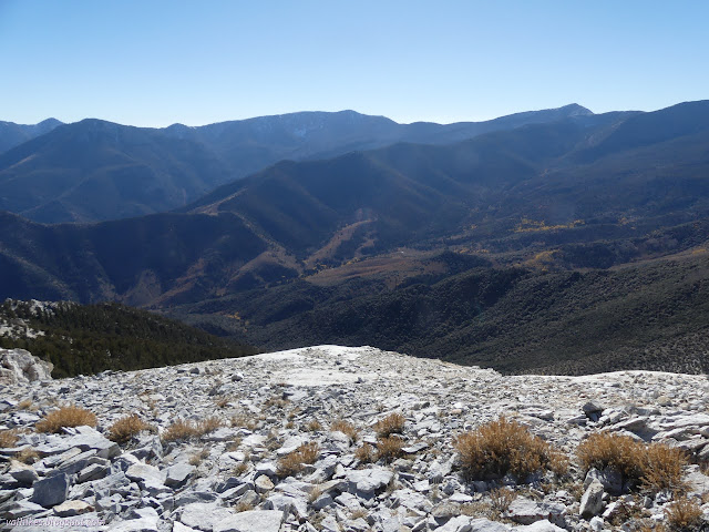
And so I started down. I got a little further east of the ridge at first, finding lusher trees. Once above the cliffs, I got a lot further east, as planned. These trees were even better than the ones on the way up. They might be some of the best in the park.
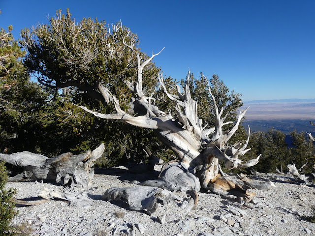
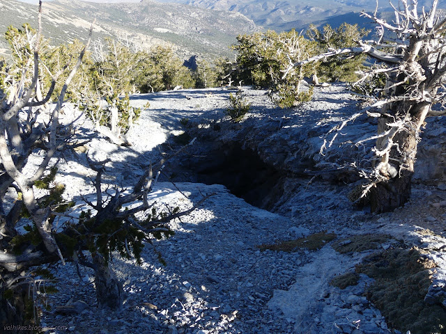

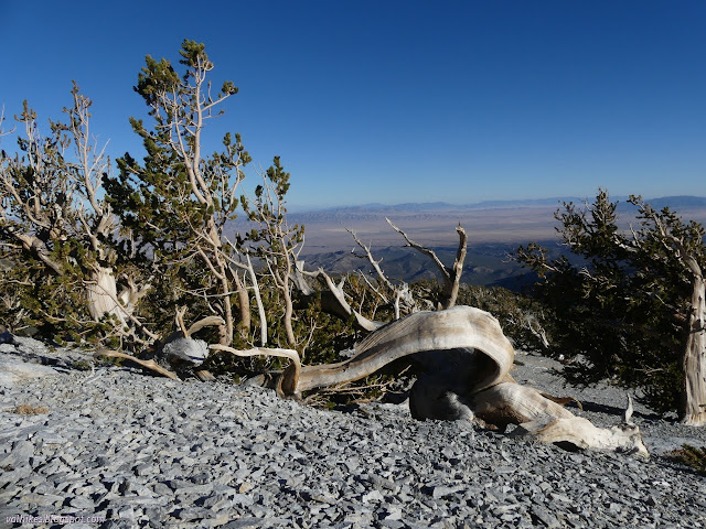


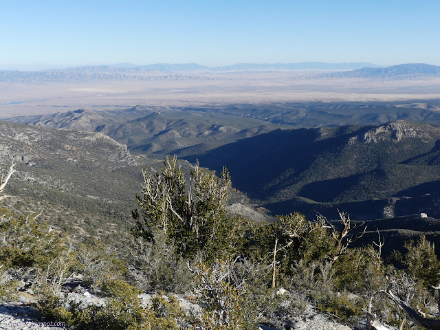
And then things started to go a little wrong. I had studied the ridges from the far side, picking out the spot where I needed to drop down to follow a lesser ridge that would arrive back at the campground. I got to that spot and looked down to find it far too steep along loose rocks for my comfort. I proceeded a little further before finding a spot I could carefully and reliably make my way off the ridge.

I made it down, but I still had a long way to walk across to the steep hill to get to the ridge I wanted. At one point, I made a poor step choice on some exposed rock to slip and knock an elbow. Life was, for a moment, rather miserable until I finally made it to the top of the smaller ridge. There I actually found a few footprints, which suggested the rest of the route would be easier.
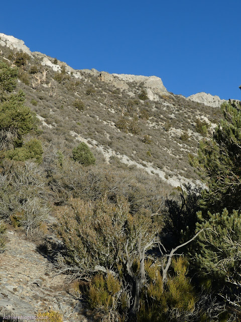
While coming down the slope, I glanced at the GPS finding it claiming I'd only been 3.5 miles total. I wondered what part of the hike it had missed. The idea that I had gotten up the peak and halfway down in that length was absurd.
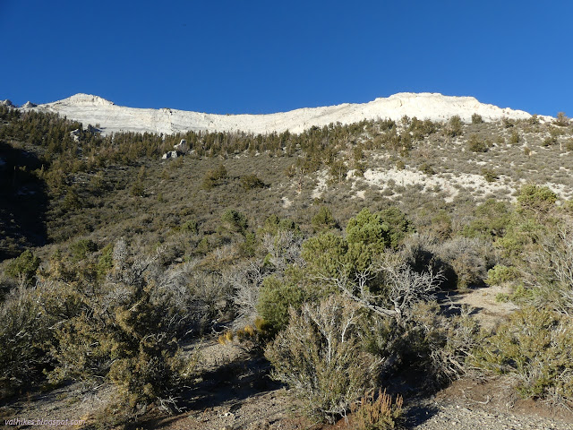
Life did get easier once on the ridge. This one was easier than the first with more room between the trees. The bright yellow of camp served as a directional beacon for the way on the wide and indistinct ridge. I arrived at the road directly across from the entry road to the sites, so it worked perfectly.
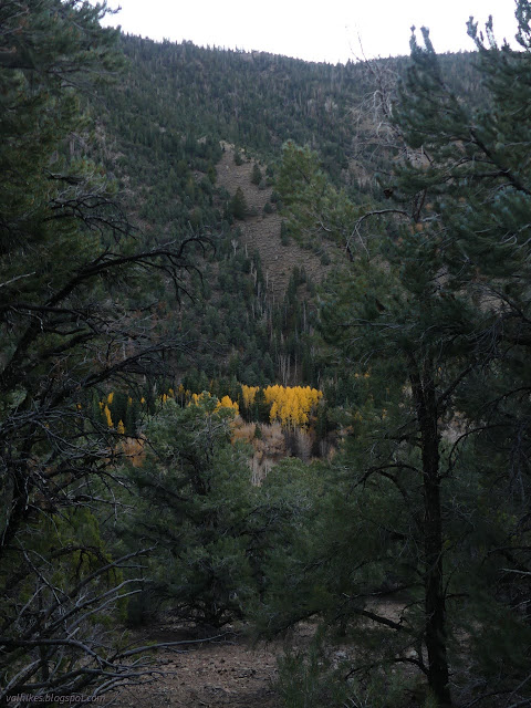
*photo album*
©2023 Valerie Norton
Written 18 Dec 2023
Liked this? Interesting? Click the three bars at the top left for the menu to read more or subscribe!


Comments