Black Horse Cemetery and Mining District
Bristlecone Field Office BLM
(map link)
I was aiming at Sevier Lake in Utah for eclipse viewing, but checked the spot weather predictions for cloud cover (which is often already wrong at the time I download it) and found that Ely, where I was, would be clearer than the lake. Probably. I ultimately did get a ways toward the lake, but turned north at a sign for "Humboldt National Forest access". Actually getting there requires a tough vehicle and a good map because there's only one more sign to point the way and many more junctions. That doesn't matter because the rest of the land, if you don't go too far east, is all Bureau of Land Management. I found space to pull off the good county road as it turns east near the second forest access sign. A flat spot up the hill, well away from the road, was good for my tent. It was not flat in the way of once hosting a town on it, though. The map indicates that's where Black Horse, the place with buildings or at least tents, stood. I found no more than a few rusting cans and claim markers to show the passage of other humans. I dug out my various Ely (National Forest) District maps (from a 2017 trip to the area) to confirm the area is quite solidly yellow (BLM). Other campers were already in the more traditional turnouts along the good road. With legality sorted as best I could, I decided to have a look about the place.

While I couldn't discern anything to be sure I had seen the Black Horse townsite, the cemetery is easy to verify. It is over on the next hill with a lovely gate declaring it the Blackhorse Eldridge Cemetery est 1905. (The map would imply there's another way to the National Forest a little to the east through the Eldridge Ranch, but I expect this is one of the ways to encounter a locked gate as described on my Mount Moriah Wilderness map.) Black Horse was only established in 1906 and was generally done by 1913 (reference, also indicates the cemetery is above the townsite rather than the position on my FSTopo map). It is interesting the cemetery predates it, or so it claims.
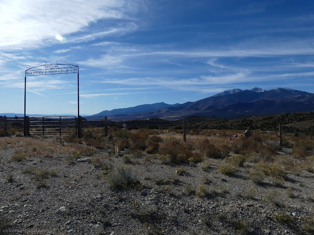
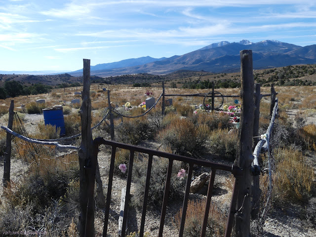
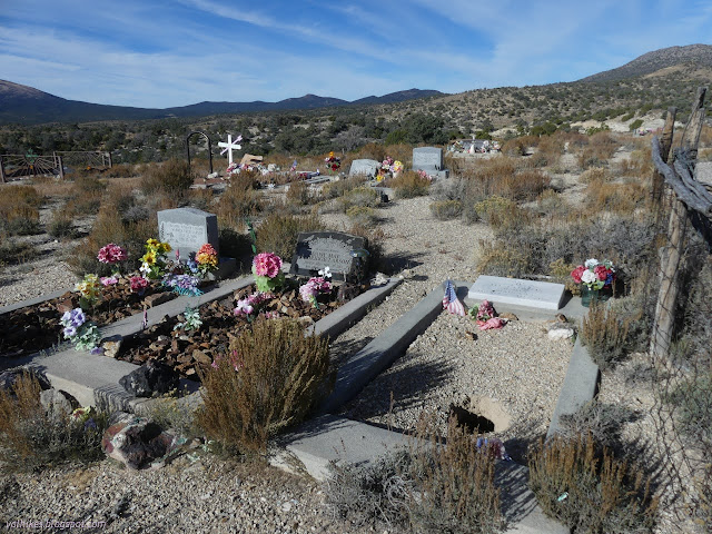
So I had a look around there first. Most the graves are not from that time. There's only a small area in the middle with its own fencing that contains a grave for an infant and one for an unknown miner. Otherwise, they are quite recent and back to the 1950s.
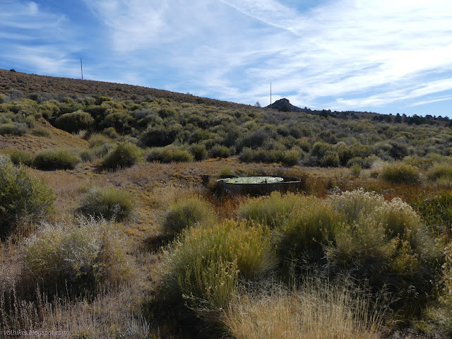
Besides the cemetery, I also wanted to check out a spring, so I trotted down the road to see it. It is real! It is piped to a stock pond but has a halfway reasonable flow going and a patch of greener desert below.
A little further down the road is another spring and a "roadside park". Except it isn't. Willow Patch does have a lot of willows, so likely has a reasonable spring to feed them, but there's nothing but a locked gate and a road that quickly ends behind it at the park. I headed back, having had a look at what I'd planned to see and settled in until the afternoon when I discovered there's plenty to go looking about in the mining areas of Black Horse.
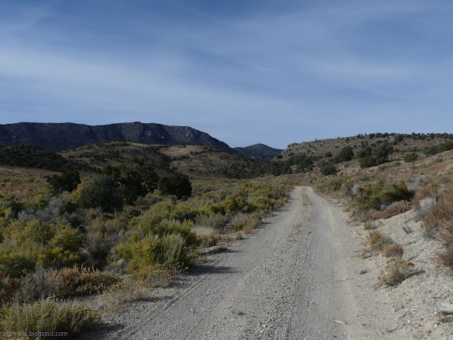
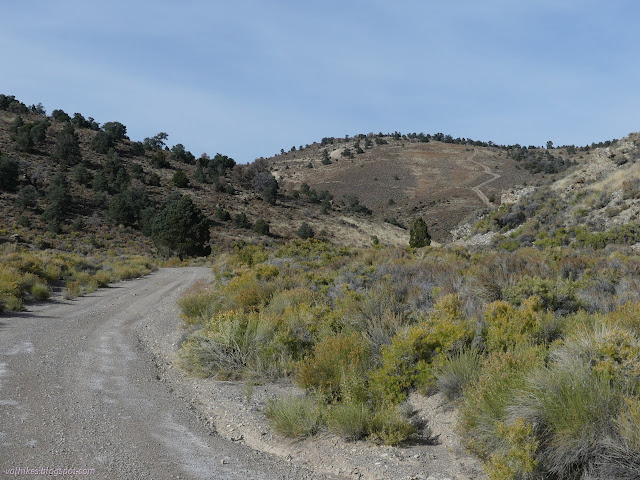
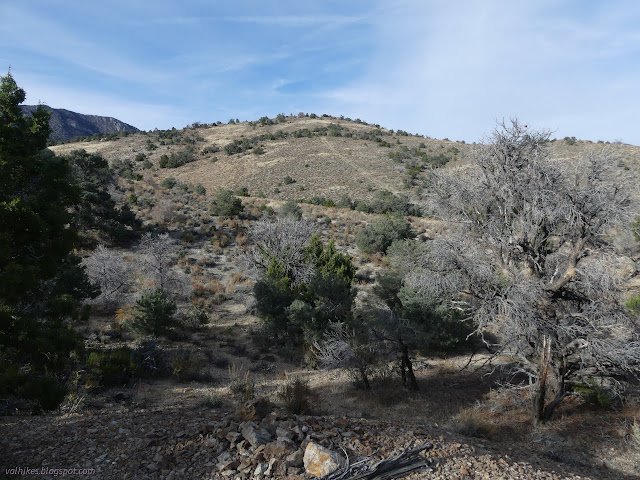
I decided on a loop upon the many roads shown on my FSTopo map. There are actually a few more roads accessing audits and prospects and the like. Some of these have been extended by people who find it hard to stop just because the road does. To get started on my loop, I took the first left. It gets to a nice camp area, then turns up a hill and gets very rocky indeed.

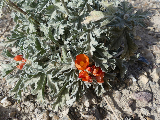
I came to a split in the road that wasn't on my map. There were others, but they always pointed at some prospect or something and were obviously less used. This one was more used. I let it sucker me in. It gets to a wash and from there, the vehicles are just pressing their way upstream. Up sand? There are some narrow spots, but they soldier on through those. Eventually, they go on a random hill climb and probably connect in with the mapped road. After a little of it, I decided to pop over the top of the ridge cross country to more quickly connect with the mapped road.
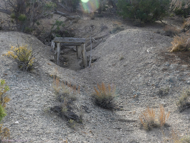
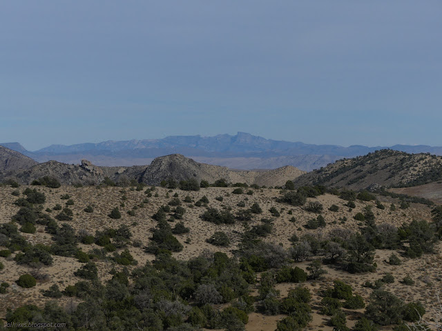
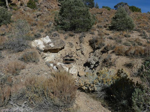
Turning a corner, I got into some lovely rocky areas. Fins of hard rock stuck out on the sides of the canyon. These seem to have attracted miners through the years because there were quite a few mine remnants to ponder. A mystery drill hole in the middle of the road about the size of a post might have closed it off to all but those authorized once. The road has a big gully running through it that seems to be deterring wheeled traffic some, but no problem to two foot traffic.
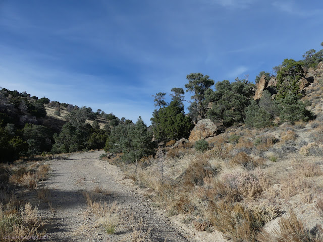
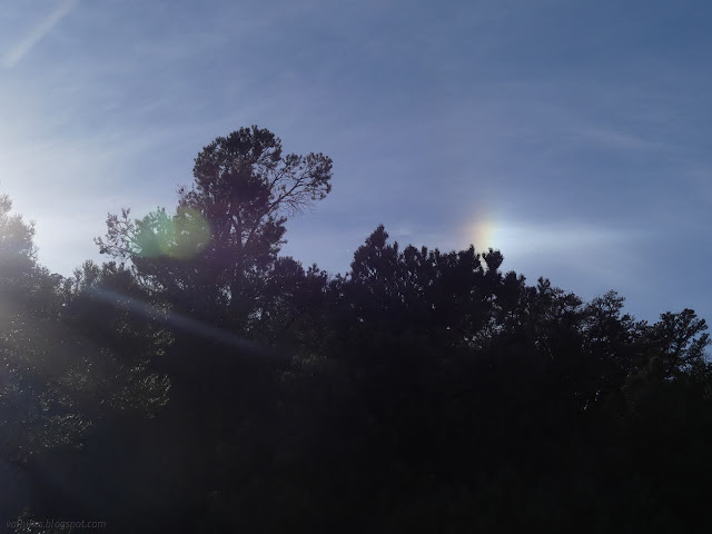
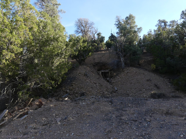

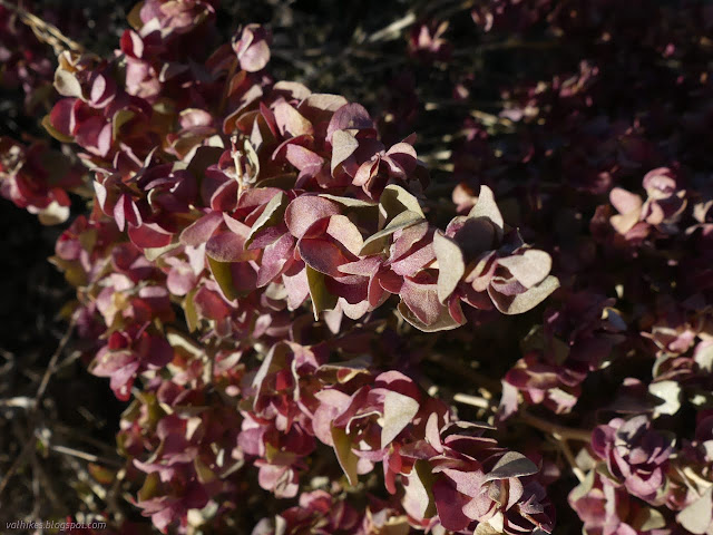
After a bit of flat road, I found myself on some scruffy road getting down to the main road. (Main judged by it being the one that'll get you to the forest eventually.)
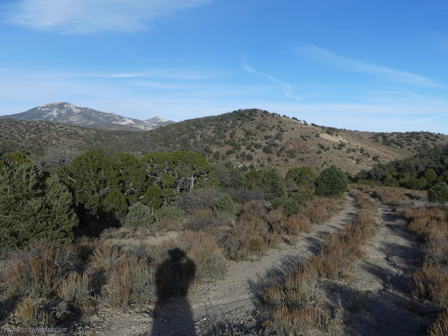
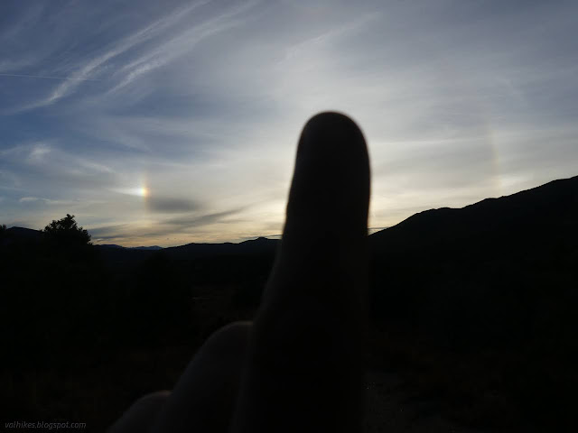
From the main road, I took a right for a road that would gently climb around the north side of the hill where there was the thing that first caught my eye. Once up at the top, the distant hills were getting in good late afternoon shadows.

From the top, I followed the road out to the end where the bulk of mining operations had occurred on the hill. This is not where the road visible on the south side of the hill connects, but I wasn't too worried about walking between things. It does get a bit steep on the way.
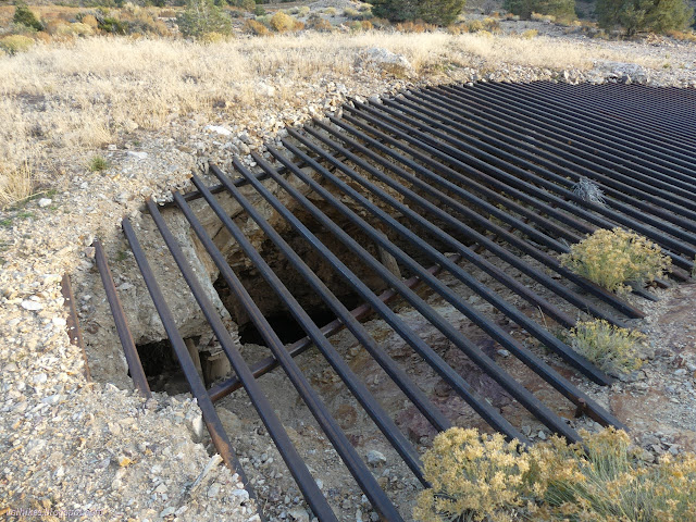
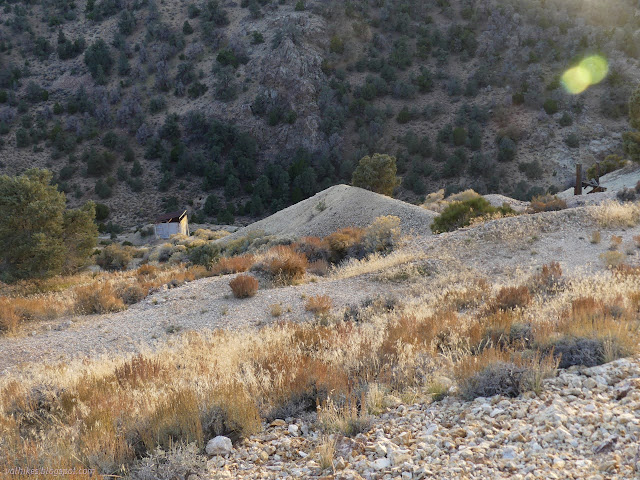
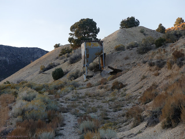
With the day getting late, I turned to find my way back to camp.
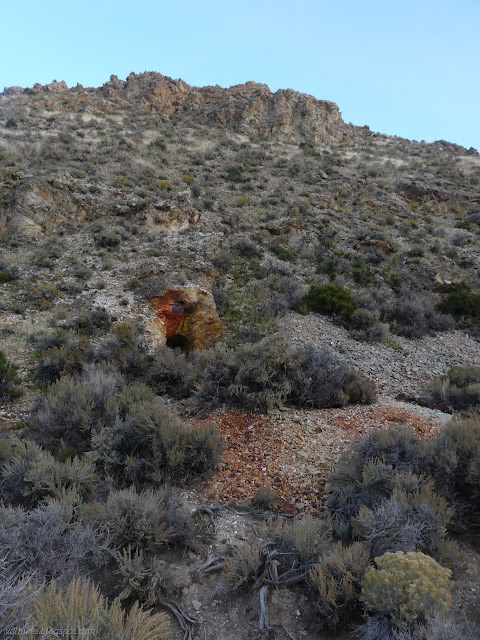
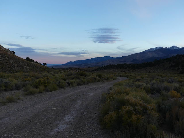
*photo album*
©2023 Valerie Norton
Written 5 Nov 2023
Liked this? Interesting? Click the three bars at the top left for the menu to read more or subscribe!


Comments