Weaver Creek Trail
Sacramento Pass Recretaion Area
Bristlecone Field Office BLM
Great Basin National Park
(map link)
I stopped again at the Sacramento Pass Recreation Area to hike the trail I hadn't had time for before. This one was constructed specifically for horseback riders who are not allowed on the other trails. It starts at the upper campground, which includes a corral for the horses that might be taking this trail. After starting furthest from the highway, it continues further away. Excellent. I found the sign for the start and got started on the trail, marked for motorcycles as well as horses and hikers.

It doesn't last long as a trail, though. It goes about 100 feet and joins a road that goes off at a diagonal a short way to the west. From there to the end, the trail is a series of markers at junctions.


Not quite all of the junctions are marked. Sometimes I just had to guess the route follows the main route of travel. This worked out every time.


The road has a rough spot or two to discourage travel by, say, a Scion, but it is mostly smooth and easy going. While there were fresh tire tracks on it from the last day or so, no one was traveling it with me.


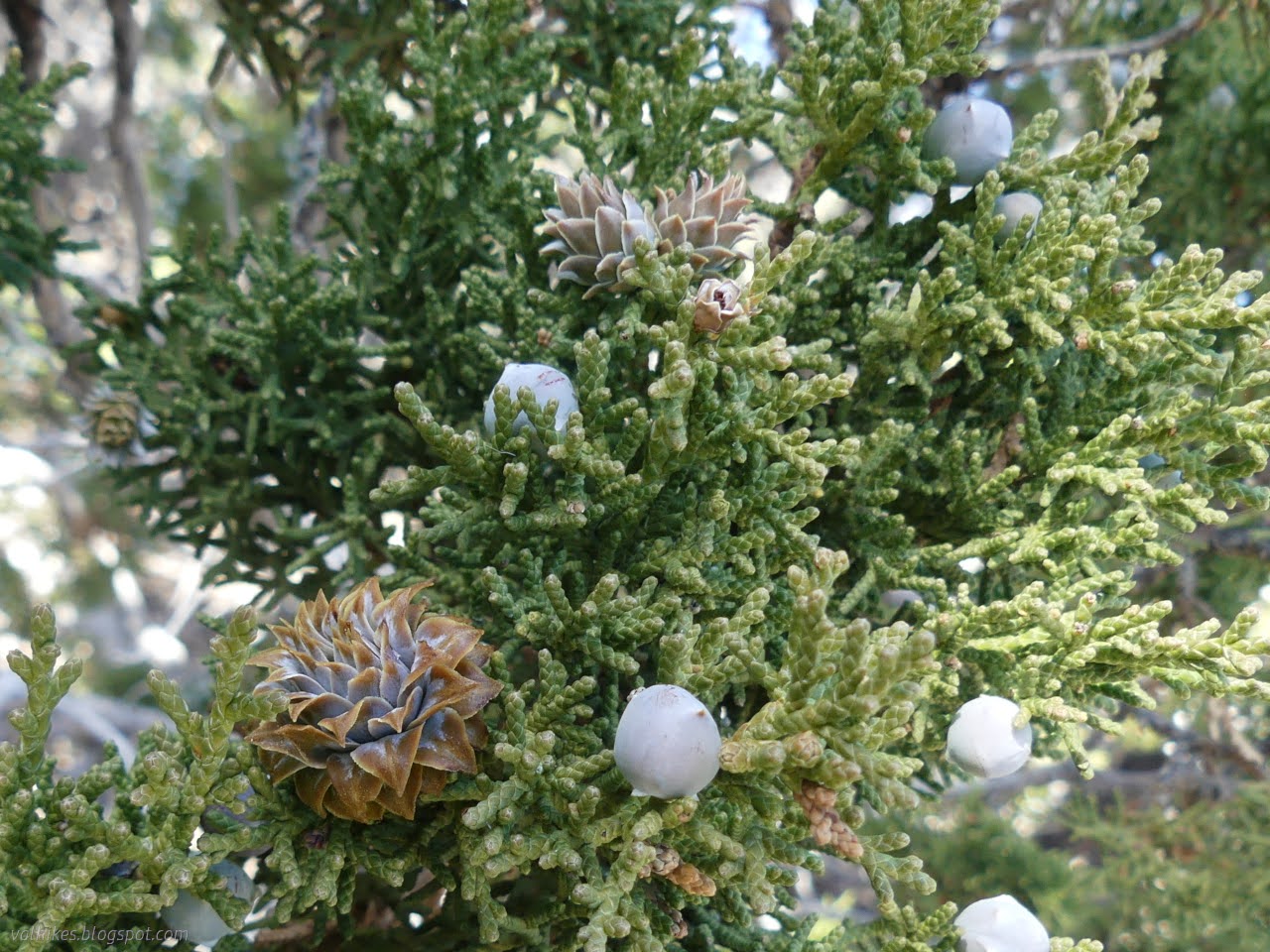
After a little climbing, the trees (juniper and pinon) got thicker. I pondered the galls on the junipers. They're so frequent among these, one starts to suspect they are just a different sort of cone. I pealed a few apart, but found none of the insects inside.
After enough climbing, the route follows a road down into even thicker trees. Finally, it approaches Weaver Creek.


And there I discovered the American Discovery Trail (ADT). Okay, I might have noticed it on the map already. I may have been pondering why, with a National Park so close to the south and a lovely Wilderness so close to the north, the trail has been left to follow "forest development roads" that supported mining. Once.

I poked over to the creek to find it dry. The route follows the ADT east shortly before abandoning it for more picturesque mining areas to the south.


There's some evidence of mining activity as the route loops across Grace Creek. More evident now is the cattle watering and dispersed camping evidence.


If you are following along this route in your vehicle, this is probably about the point where you'll want to have better than just an SUV. It is rough and steep on the climb from the creek. It climbs to some views on the way to Sage Creek.

After a mystery junction, the route takes a sharp turn to climb up along Sage Creek. This also has water running, but I mostly heard it rather than seeing it. From here, it climbs into the hills with ever increasing views behind.


I came to an unmarked split in the road. I strongly suspected the route goes left to connect with the Osceola Ditch Trail, but I wanted to go exploring the springs off to the right, so I went that way.


The road ends at a ranch gate in the fence around Great Basin National Park. It looks like it once went further, but no one uses it that far now. I looped around the area marked as spring on the map, but found nothing but brambles and very dry dirt. The brambles do hint there's water under there somewhere.

The fence around the park includes a clear area on both sides, so I just followed that east to where I expected to find the end of Weaver Creek Trail. It gets a little steep as it arrives at the creek, which is a bit wide for more difficult crossing, but it worked.


There's another ranch gate where Weaver Creek Trail does, indeed, go. There are signs against using ATVs in the park, but the only hint that motorcycles are also illegal is that the motorcycle in the yield triangle has been changed out for a wheelchair. Good luck to anyone trying a wheelchair here. The trail is extremely steep as it follows a section of the Osceola Ditch that drops along Sage Creek. The ditch is flat again below here (as seen above) and a few hundred feet above, but is difficult even to walk in the middle.


I didn't do much of the trail as it exists in the park. It was getting late and while the 6 miles of the trail does double back on itself a little, I was still more than 4 miles from camp. I headed back, planning on doing something a little more direct and still expecting that that would be on road.

When the roads ran out, I just shrugged and kept going. I did have to work a little at crossing Weaver Creek, which is flowing and full of willows and roses at this point. The fact that cows live here meant I could find a way where they had bashed through. Not the best of paths, but it was only tough in brief sections.

Once across, I just sort of went toward the camp. There's little used roads to prospects on that side, but I went the direction they are washed out and end at the prospect, so again just ended up making my own way. It is easy enough country to travel.

At the top of the ridge above Weaver Creek, I followed a faint road briefly. Eventually I just cut across again. I was aiming at a loop of road serving a prospect that I had seen early on in the hike, but I missed it almost entirely. It is all still easy country to travel even without a road.


I got back to my campsite in time for a magnificent sunset. (Incidentally, camping here is free. Also, the map of recreation opportunities on the signs is available from the BLM Ely District office.)


*photo album*
©2023 Valerie Norton
Written 28 Dec 2023
Liked this? Interesting? Click the three bars at the top left for the menu to read more or subscribe!


Comments