Moriah: getting back
Humboldt-Toiyabe National Forest
(red line, map link)
DAY 1 | DAY 2 | DAY 3
Another cold morning for getting up and getting breakfast, but no fight was necessary with my now dry boots just to get them on my feet. I packed up and headed out. Turns out, my little pocket of fairly dry area was something special. The spaces I thought would be dry after a sunny day were still very soggy and no warmer than my sheltered area, especially on an overcast morning. I probably had the best spot.


My shoes got soggy again, but the water stayed on the outside. I was looking for a couple flowers I'd missed photographing in the rain on the way up. There should be a couple of red and a purple.


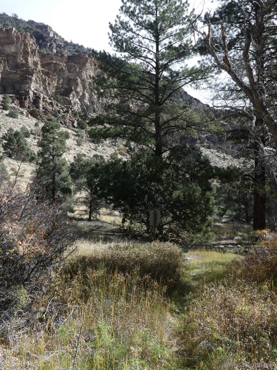
I didn't catch the scarlet gilia on the way down, so the blurry rose hips will have to do for the other red. No rain on the way down either. Just an ever opening canyon under a partly cloudy sky. It turned into quite a nice day.


There should be an intersection with a trail from the Black Horse area. I took some time to look for it, but couldn't see any sign. The wilderness map from the Forest Service shows this trail and then states there's no trails from that area. It is just a class 1 (minimally developed) trail. Most trails people hike on are class 3, but Hendrys Creek is technically class 2 even though it is old road and looked to have been cleared in the last couple years.


Arriving back at the car, I even had enough time to get out the solar shower and have a clean up in the afternoon sun. I wouldn't mind further exploring this wilderness.
*the photo album*
©2023 Valerie Norton
Written 27 Dec 2023
Liked this? Interesting? Click the three bars at the top left for the menu to read more or subscribe!


Comments