Wheeler Peak
Great Basin National Park
(map link)
I managed to get the spot weather for Sacramento Pass while I was there and discovered there were some hot days coming up. I chose the hottest, with a high of 76°F at 7000 feet, for going high. Wheeler Peak is Nevada's 2nd highest peak, but the most impressive. Unfortunately for Boundary Peak, that highest peak is a short walk from a higher peak just over the state line in California. The park goes with the judgement free phrase "highest peak completely in Nevada". Incidentally, every day is fee free day at Great Basin National Park. There is no entrance fee. There are even some free camping options, although not around Wheeler Peak. It is a day use only area with a nearby paid campground that was closed for the season.
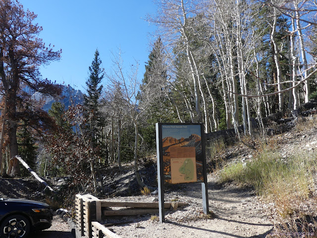
There are actually two trailheads near the end of the road that could be used. The one at the very end serves a loop past a pair of alpine lakes as well as and out-and-back to a rock glacier with a short loop through bristlecone pines on the way and a second ADA loop lower down. It has a lot going on, so there's a second trailhead to serve the peak baggers. The peak trail intersects with the loop trail briefly, so one could use either trailhead. It is actually slightly longer, 1 mile but flat, from the peak bagger trailhead to the junction. It is only 0.7 miles from the general trailhead, but with extra climbing. I figured I'd do the loop eventually, so didn't need to do part of it now and dutifully used the peak trail.
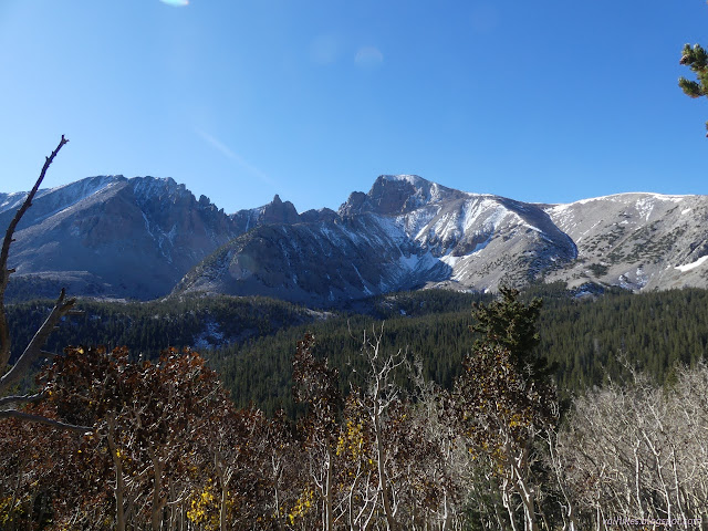
Where the loop trail leaves again was a sign saying there was a lake in just 0.1 miles. I couldn't miss that, now could I? So I got suckered into stopping by one of the alpine lakes I expected to stop by on another hike.
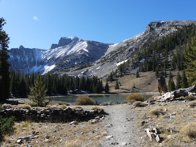
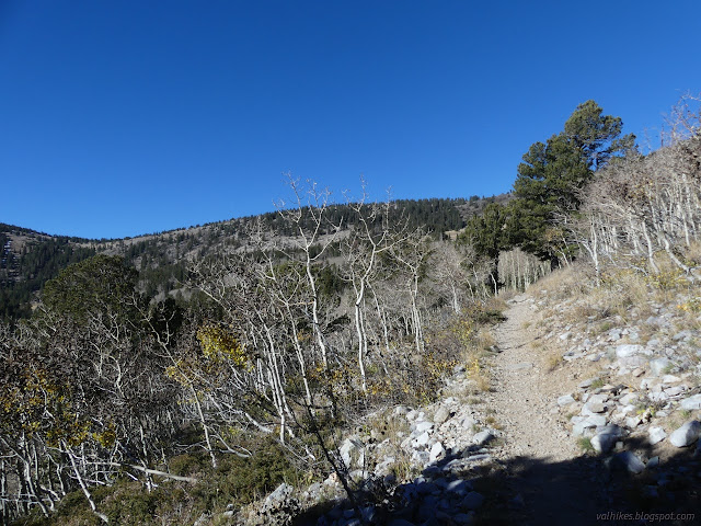
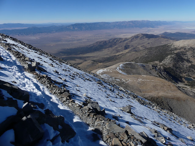
After a brief stop, I got moving once more on the long curve up and around the ridges of Wheeler Peak. The climb of the second mile didn't seem much more than that of the first (which was flat), but it got up there for some views.
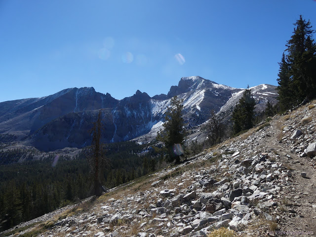
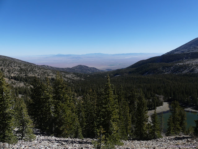
Achieving the ridge, there is even more to look at, but at the far side, the trail does tend to get a bit steeper. There was snow on it sometimes, but it was soft and held steps very well. People had lost the trail through it, but I stuck to trail instead of their even steeper path in the wet stuff.
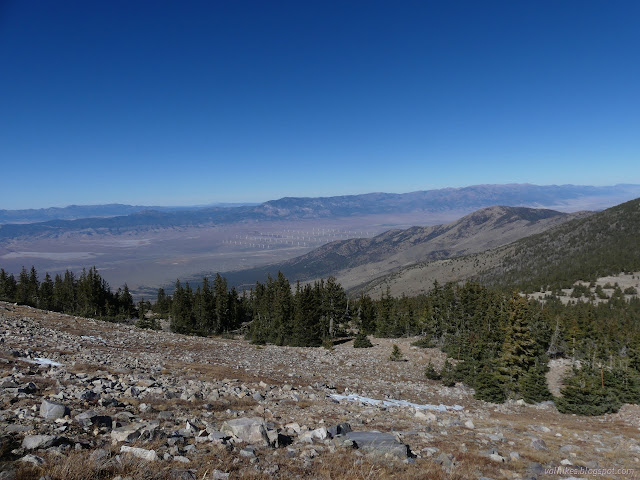
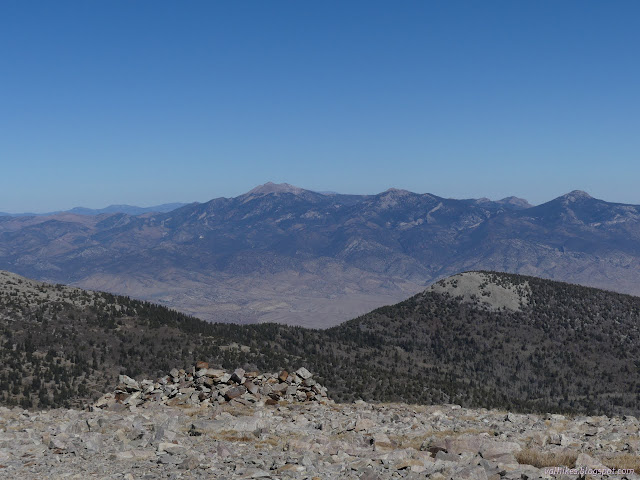
I put microspikes on for the last few hundred feet of the climb. The snow was hard ice and I didn't feel like I had any grip on it. It didn't quite cover all the trail, so others were making it without, but with great care. I also talked with a couple who turned back before the top, fearing for their safety.


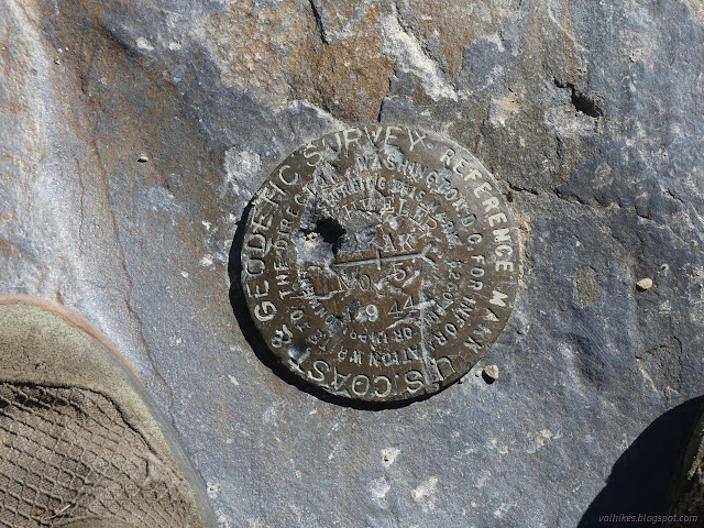
I looked around for benchmarks and found references 4 and 5 pointing at an empty drill hole.
Eventually it was time to return. It was rather like the way up, but in reverse. First, put those microspikes back on.
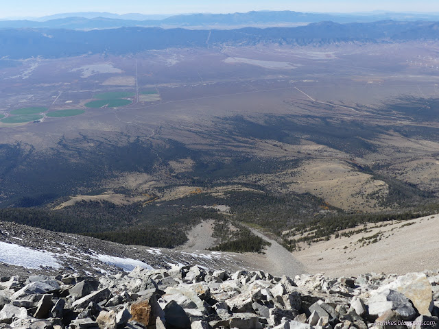
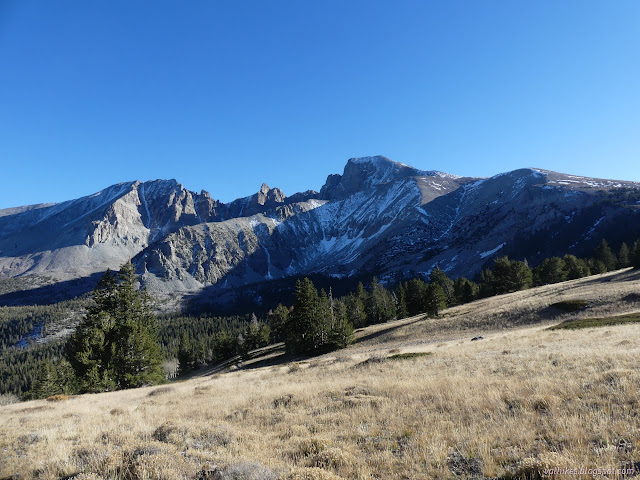
And that was a great start to poking around Great Basin National Park. On the way down, I stopped by the Lehman Caves Visitor Center where the one spigot that is still on for the winter season sits next to the bottle filler, which is not. I admit it, I had neglected to fill my water prior to starting or even on the road.
*photo album*
©2023 Valerie Norton
Written 13 Nov 2023
Liked this? Interesting? Click the three bars at the top left for the menu to read more or subscribe!


Comments