Posts

Showing posts with the label Humboldt Redwoods State Park

Kent-Mather Grove to Childrens Grove

Image
Humboldt Redwoods State Park Click for map There's still plenty of trails I haven't tried out in Humboldt Redwoods State Park. I wanted to finally get to the Childrens Grove way at the south end of the River Trail. This time the Eel River is low enough to cross and the summer bridges should be in, so a shorter trip is possible to access the grove. The weather folks over on Wooley Island were expecting 75°F in nearby Weott. Perhaps a bit warm now that all my Pasadena derived heat immunities have worn off, but tomorrow may rain so I'll go with the sun. The closest access point is Williams Grove (fee area), but I wanted to look around the Kent-Mather Grove (the only area close to road that I couldn't improve as I aligned most the trails and added the few missing ones in April) and walk all of the River Trail that I have missed so far. Besides, both the Kent-Mather Grove and Childrens Grove are rumored to be particularly nice ones and would therefore make nice book...
Grasshopper: Grasshopper Trail, River Trail, and Bull Creek Trail South

Image
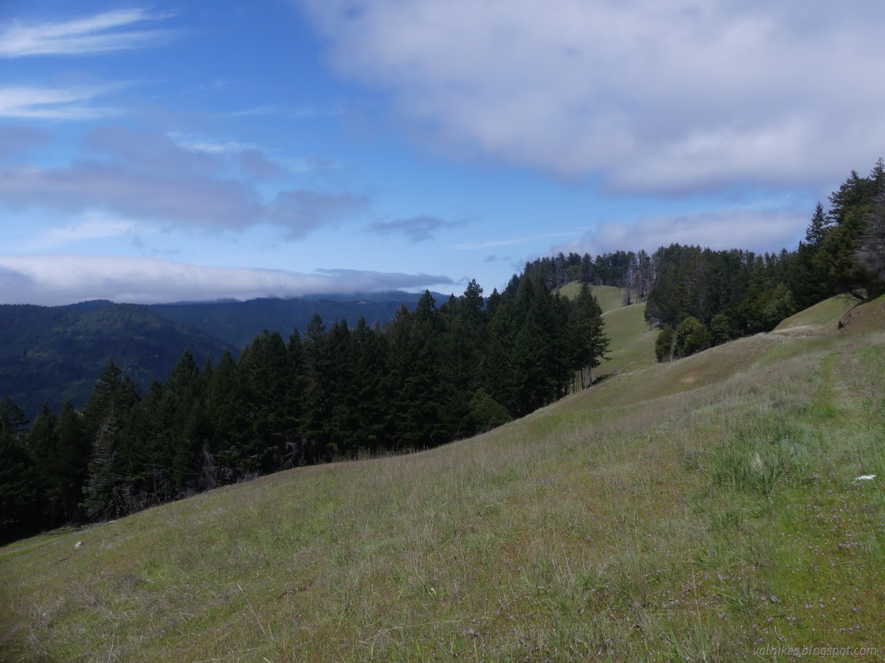
Humboldt Redwoods State Park (blue and purple lines for day 3, map link ) DAY 1  |  DAY 2  |  DAY 3 I was slow to get up, hoping the dribbling would let up even though the weather seemed very settled on dribbling. The night's point prediction was 13% chance of rain falling quickly to 7% and continuing down to 3%. None of that discouraged it from dribbling the whole night and into the morning. The bear box hadn't proved to be watertight and everything near the front had gotten wet at the bottom and drawn water to everything behind it. Admittedly, that was of minimal imporance for everything except for the park brochure and map. It would never be the same. The morning view from under my tarp. I put away the bedding and cooked breakfast under the tarp. By the time I got everything in my pack, then the wet tarp stuffed in the pocket, there hadn't been much improvement. I pulled out the poncho to keep the drops off. I still didn't know if it was rain or ...

Grasshopper: Hanson Ridge, The Excursion, and Grasshopper Peak

Image
Humboldt Redwoods State Park (orange, yellow, green lines for day 2, map link ) DAY 1  |  DAY 2  |  DAY 3 I didn't have very far to go for the second day, just around from Whiskey Flat Trail Camp to Grasshopper Trail Camp. However, I had a few excursions planned for the day. First would be out along Hanson Ridge (or Hansen Ridge on the map). Second would be something off toward Bull Creek Trail Camp. Exactly what, I wasn't sure. The proposed route on my map was following a decommissioned road past a likely gone barn to the camp, then back up following the South Prairie Trail. It annoys me that there's only one route connecting the trails that come up from the Perimeter Road to those around Grasshopper Mountain. Third would be a quick round up to the fire lookout at the top of the mountain after getting to camp. Since Grasshopper is a dry camp, I would have to collect water on the way. The most reliable option is a stream that Grieg Road crosses shortly be...

Grasshopper: Homestead and Baxter to Whiskey Flat

Image
Humboldt Redwoods State Park (pink, red, red-orange lines for day 1, Click for map ) DAY 1  |  DAY 2  |  DAY 3 I decided the perfect way to celebrate Earth Day was to launch myself on a three day, forty mile backpacking trip after not really having any proper hikes since November. Or perhaps it just happened to be the day after quite a few days struggling with what might be my route and two hours of packing to grab the three day window before rain started again. I preferred to be hitting new-to-me trails, lesser seen trails, and stop by the Children's Forest. I got some of that. The thing is, you must stay at one of the five trail camps that have been built, which can be a bit limiting. There's a three night max, which isn't so bad. (Per camp or total? I didn't ask and this requirement isn't mentioned in any of the online material.) No dogs allowed, as usual in the State Park. (Nor cats.) They're so emphatically against wood fires that they stamp it ...

Chandler Grove Trail

Image
Humboldt Redwoods State Park Click for map in new tab. The final little hike of the day spent along the Avenue of the Giants was another marked as a stop along the auto tour. The parking area is a short way north of the unmarked road for the High Rock River Trail . This particular trail seemed designed to highlight hillside forests and log bridges. Trails form two loops with a spur down to a creek. I started up the rightmost trail, to head around the outside of the loops counterclockwise. Hillside trees generally aren't quite so big, but there was one or two, along with other features of old growth as listed on the sign below. Trees on a hillside with a multilayered canopy. Some big trees turn out not quite so big above. Not many bright colors at the moment, but there are a couple mushrooms in the duff of redwood needles and laurel leaves. I took the spur down to the log bridge, of course. It is a rather steep little trail switchbacking down to the tiny stream be...

Founders Grove

Image
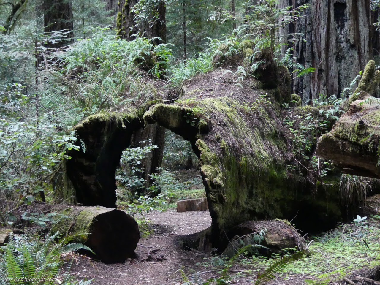
Humboldt Redwoods State Park Click for map in new tab. I would expect Founders Grove to be among the sites developed enough that it requires the $8 day fee, but found nothing about it. I set off on a double loop through the trees. They're nice and big. Perhaps not quite so large as those at Rockefeller Grove on the other side of the river, but still very nice. There's even one labeled with its particular details and set with a platform for picture taking without quite so much root stomping. You can go on up to Tall Trees for a taller one, but this is just off the main road and that is up a narrow, winding thing. Signs marking one of the starts of the trail. A half mile ADA accessible trail starts here as well. Some 346.1 feet of Founders Tree. Extensive burn scars help set one tree off from the rest. There's a few tunnel trees near the start, too. Taking a clockwise route, I found myself passing the stilled drama of fallen giants crashing down atop eac...

High Rock River Trail

Image
Humboldt Redwoods State Park Click for map in new tab. While the High Rock River Trail is an official trail shown on the map provided with the Humboldt Redwoods State Park brochure, it certainly doesn't seem that way when starting out on it. I turned down a narrow and unsigned road which happens to be the High Rock River Bar Access and parked in the wide spot just before the open gate. I was a little past an opening into the forest beside a cut log where there is an unsigned trail. I started down it with a sureness set very precariously. The slightest hint could have sent it tumbling into an abyss of dread. The first and only indication of what the road is for is at the gate, well down it. You are not to drive in the river, just on the gravel. It's not a problem this time of year. A path under the trees. Pondering the massive burl in the side of a redwood and the way the bark has split around it. Fortunately, the signs were good. In fact, I started passing hu...

Drury-Chaney Loop and Grieg-French-Bell Loop

Image
Humboldt Redwoods State Park Click for map in new tab. Humboldt Redwoods has some long trails and great redwoods along Bull Creek, but I decided to take a day to see things on the auto tour along Avenue of the Giants. My first stop was a pair of loops at the north end. I must admit, my motivation to stop in this area was that I found out there is an "albino" tree nearby, but I wandered the advertised routes before going after that special treat. The Drury-Chaney Loop is a stop on the tour and is an accessible lollipop of a loop trail. It is 0.8 miles to the loop and 2.4 miles for the round trip. I found the curves banked so much it put me in mind of some rough racing event and one tree was down nearly to the loop, but a hardy wheeled traveler might still be able to make it. Hopefully soon without the tree. Signs and a picnic table at the start of the trail. Just inside the trees, the gravel path executes some little, high banked, curves. These auto tour stops...

(South Fork Eel) River Trail

Image
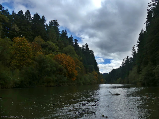
Humboldt Redwoods State Park Click for map in new tab. For a second day among the redwoods, I proposed to wander the gentle loop of Rockefeller Grove and cross Bull Creek in my ripped up old shoes, then put on my good shoes and socks to hike beside the Eel River for as far as I got. (Perhaps I should refer to it throughout as the Wiya't River in a private little campaign against banal river names foist upon already well known bodies of water.) I figured this would be an excellent way to take in the autumnal season. Okay, I was worried it might stay too far up above the side of the river to really see those colorful trees at the edge, but it would be a good hike and I'd probably have it to myself without the bridges put away. The start of a trail over a flat expanse covered in huge trees. I was surprised to find no notes at the kiosk warning that the bridges were gone for the season and held out a little hope that they might still be out for my use. The trail is ...

Five Allens' Trail

Image
Humboldt Redwoods State Park Click for map in new tab. In deciding where I might hike this day, I got a little fixated with Allen's Trail, or perhaps the Five Allens' Trail, as it is marked on the Humboldt Redwoods State Park brochure map . It was meant to be the first hike of the day, but I missed the exit and went somewhere familiar instead. I was expecting to miss the start on the first pass too. Redwood Hikes warns that it is hard to find. I was taking a quick, I'm-actually-driving-a-curving-road-here type, glance at some cascading water when I noticed a small wooden sign that included a big "A" on it. I then, wonder of wonders, actually acted on this impression and pulled into the large turnout that presented itself on the other side of the road. Indeed, the sign beside a small trail said "Allen's Trail". Why the five have been reduced to one, I do not know, but I had managed to find it on the first pass. I very much doubt I would have s...