Posts

Showing posts with the label city park

Arcata Ridge Trail

Image
Arcata Community Forest Click for map I thought I could at least get a little hike together to ring in the new season. Winter is scheduled to start off with rain, though, and I got choices. I chose to actually do the little hike on the one day in the coming week that might have sun. It had changed to "fog", but the predicted weather seems very volatile at the moment. So on the one day not expected to rain (for the moment), I headed off for a through hike of the Arcata Ridge Trail. A looping trail now descends to the road so climbing narrow, steep steps is no longer required! A view out on the weather and there is some fog. It's not exactly the best time to meander through the forest. It's one of the few times one might manage not to find any flowers blooming in the undergrowth. The mushrooms have been coming and going. The patch of clintonia offers some interesting patterns as the leaves die off. There are some extraordinarily red waxy caps , som...

Humboldt Bay at the North Spit

Image
Samoa Dunes and Wetlands Conservation Area Manila Dunes Recreation Area Click for map The OpenStreetMap version of Mendocino National Forest looks a lot closer to reality after more work than anyone might care to know. There's also mapping for a chunk of forest north to Hayfork where the Bigfoot Trail goes that is vastly improved. However, it might be a bit more fun to generate some content rather than stare at the computer, particularly if I can find a little something new to show off. Well, there's this mildly mysterious little picnic area next to the old tracks for something new. I checked (every two months after the Saturday DERT day) on the "mysterious leaves" I found in March and now there's some orchids to show off. In between, I could wander some less new areas among dunes and beach. Picnic tables painted by the nearby school children for a public rest stop. In this section of the North Spit, the old tracks edge along the side of Humboldt Ba...

Less wet birds of Arcata Marsh

Image
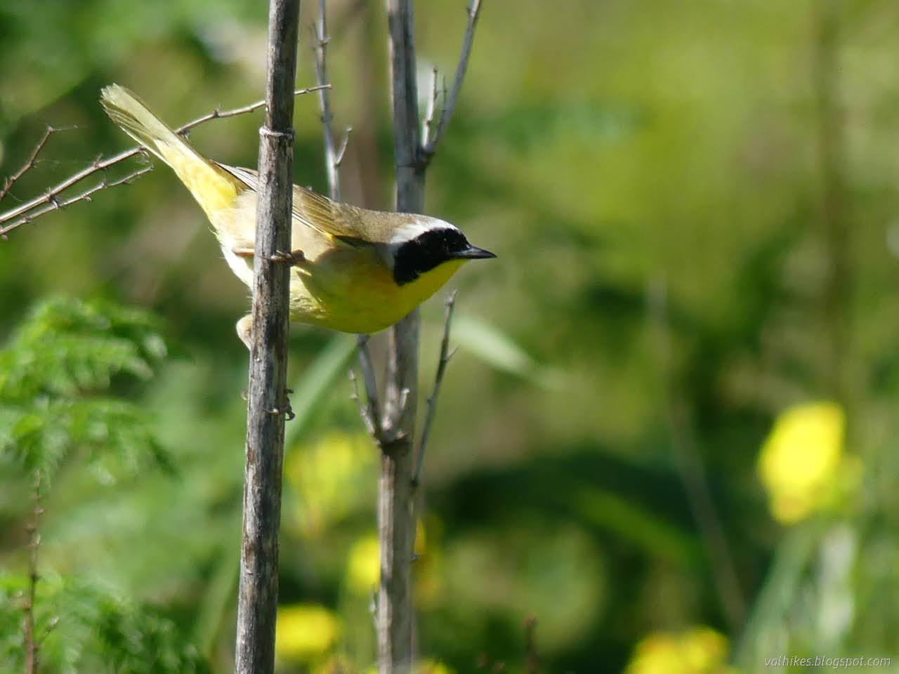
Arcata Marsh and Wildlife Sanctuary Click for map I headed out to the marsh with the tide on its way out and a small hope of maybe recording a few local birds in a non-bird feeder scenario. The low tide may not be the best time for seeing the wading birds as they tend to be out finding food, but I think the land is more interesting when the water recedes. Besides, those aren't the ones that have been hanging out at the feeder. I started off at one of the larger lots near the Interpretive Center and headed for the edge of Humboldt Bay. (It was called Wigi once, if one gets tired of calling everything after Humboldt.) Tidal Jolly Giant Creek as it flows past the Interpretive Center. The first bird along was, happily, not one that has been frequenting the bird feeder although, from a certain point of view, it's a perfectly good feeding place. The operator of the feeder gets upset when such feeding happens. A red shouldered hawk gets in a solid glare after the fir...

Tidytips on Manila and Samoa Dunes

Image
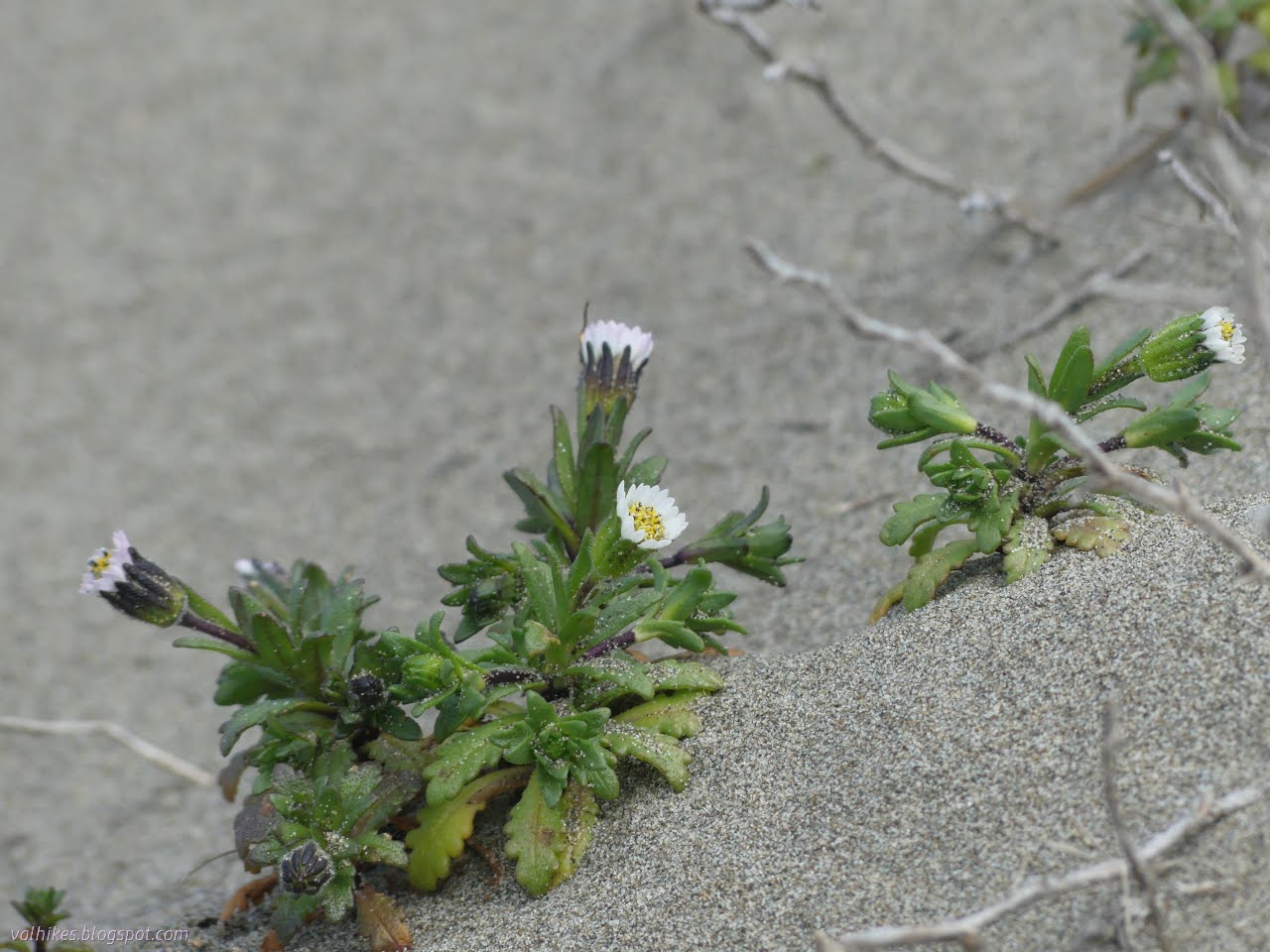
Humboldt Coastal Nature Center Manila Dunes Recreation Area Samoa Dunes and Wetlands Conservation Area Click for full screen map The dunes are about to explode with bright flowers. It's getting some start now, particularly showing off a few of the endemic and endangered flowers. I've shown off the Humboldt Bay (Menzie's) wallflowers before. This time I was out to find some beach Layia, also known as beach tidytips. (Blooming, this time. Not just leaf clusters like I saw on the Hikshari' sand spit !) I started at the Humboldt Coastal Nature Center and headed for the high dunes. It's been a while since I spent some time on these highest of places in an area entirely built of whatever the ocean tosses up. Besides, the Wildberries Trail was flooded recently. The Humboldt Coastal Nature Center is a striking building. Stop inside for all kinds of information and there are bathrooms and bicycle parking to the left. The trail over the high dunes starts on t...

McKinleyville Community Forest

Image
McKinleyville City Park ( map link ) McKinleyville closed escrow on their 599 acre community forest on 31 January and McKinleyville Community Services District, in whose hands that ownership and operation now resides, says the public may come and walk and ride bikes and probably even a horses. (Someone certainly has given it a try.) There are two undeveloped entry points along Murry Road to use for this access and other entry points are planned. They add that the Green Diamond Resource Company lands to the east of the forest are still closed to the public. I spent a little time with OpenStreetMap, a Strava heat map overlay, and their printable georeferenced pdf map to determine (and mark) what, exactly, was open and what was not. I also spent some time with the McKinleyville Community Forest Framework Plan and wasn't exactly sure what to expect. A little disturbing is that Green Diamond apparently went and logged three big chunks of this land between when they approache...