Posts

Showing posts with the label Shasta County

Lassen Scenic Overlook
Image
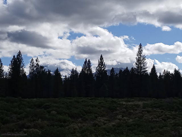
Lassen National Forest location Well, I decided to go see the annular eclipse. Is it worth it to drive out to an eclipse that won't be total for anyone because the moon is currently too far from the earth? There will be no shadow to watch rush toward one (as there was on Strawberry Peak in 2017) and no stark drop in temperature (only the people who already had their jacket weren't reaching for one) and no rush away again as the sun starts to reappear. On the other hand, there will be a transit. The moon will just touch one edge and then there will be a ring of light until the moon touches the other edge and drifts off again. It is best seen via a pinhole or filter. Once I saw a partial eclipse in Kings Canyon National Park and the best bit were the pinhole like shadows dancing through the leafy trees. (The pines didn't do it, just the maples and oaks.) The cut out sun was repeated all through the shadows of these trees. To find a space of dappled shade and watch the a...

Hat Creek Rim, Hat Creek, and Subway Cave loop

Image
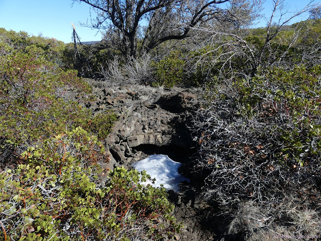
Lassen National Forest ( map link ) I had a hike planned with more miles than hours of daylight, which requires getting an early start. I know, some people just walk fast, but that's incompatible with taking way too many photographs, checking out all the flowers, trying to catch all the birds and lizards and everyone else out on the trail. So I got up in the dark and got moving before the sunrise. I had second thoughts about getting going quite so early, and ultimately started exactly 5 minutes late to get out to the edge of Hat Creek Rim for the best of the dawning light. Trailhead on the Pacific Crest Trail (PCT) a quarter mile north of the Hat Creek Overlook The area burned in the Hat Creek Complex in 2009 and there's hints that there was once a much larger forest here. There's a lot less burn and a bit more recovery to look at than on the last hike along the Bizz Johnson . It's still a bit, well, scrubby. Leaves the view clearer. Trail through the old ...

Spattercone Nature Trail

Image
Lassen National Forest (map link) I had seen the Spattercone Trail on the map and instantly wanted to do that. Disappointedly, I found the gate closed on the parking lot, but could just fit off the road. Disappointment came again when I saw a sign saying it was closed by a forest order. Strangely, there wasn't an actual copy of the order, which there usually is. A number means little to me. I looked it up, and found it to be an expired order for the Dixie Fire. Then, for my due diligence, I checked the Alerts and Notices of Lassen National Forest and found nothing replacing it. Well, say no more. I was off, but first I had to put on my microspikes again having been sufficiently alert to notice the area was not dissimilar to an ice skating rink. The trailhead on the other side of the ice. It includes information signs related to the local area. I didn't need the spikes for the trail, which starts off as an accessible route on compacted granite. There are information ...

Hat Creek to Badger Mountain on the PCT

Image
Lassen National Forest Lassen National Park (map link) Having had such a dry January and with a dry February predicted, I decided I could travel along highways that should be demanding I carry chains. (I do have chains, but fear that they wouldn't help my rig all that much if they were needed.) I had still passed up making any plans for Lassen National Forest due to its elevation. Then it took more than 5 hours to drive CA-299 because of all the construction and I found myself tired and in the dark in Lassen. A sign said there was a viewpoint in half a mile and I thought that at least I could stop and eat and see if it would let me sleep. Had it been light, or perhaps just with some brighter headlights, I'd have seen the sign pointing where to turn for the viewpoint. Instead, I turned 0.1 mile short onto the unsigned road for West Prospect Peak (which has a lookout). It was dry with humps of snow down the middle, which made me nervous. I saw an area others had pulled ove...

Bumpass Hell

Image
Lassen Volcanic National Park Click for map. After waiting far too long for the Visitor Center to open (9 AM is hours after the sun comes up!) because someone absolutely has to have some coffee, but cannot think all the way to buying some to have on hand, we headed off to see at least one thing that makes the park unique. The regular route is still closed by snow, but the boardwalks are open, so we are starting from a less traditional location. It is hard to believe that the spotty bits of snow around could be causing grand trouble to the shorter route that could not be fixed with a shovel in less than an hour, but at just over 5 miles and 1200 feet gain, this does not seem very hard to hike either. Parking is getting a bit crowded, though. It is quickly left behind as we take off into the trees. There they are, the trees. This looks like a super easy path. The gentle and rolling path passes by a sign next to a trail so light that there must be very few to take it. Over o...

Sulphur Works

Image
Lassen Volcanic National Park We stopped at the Sulphur Works where the highway crosses a hydrothermal area and we could have a quick look at steam vents and boiling mud. It stinks a bit and the rocks seem to have taken on a bright yellow in many places around it. Just off to the side of the road, a mudpot bubbles and boils quite noisily. Click here to hear it. A steam vent in the dirt above the bubbling mudpot. The rocks are stained yellow above the stream of runoff from the Sulphur Works. Rocks above the Sulphur Works pick up both reds and yellows. ©2012 Valerie Norton Posted 2 Aug 2012

Bumpass Hell lot

Image
Lassen Volcanic National Park We weren't feeling like we had the time to go down to the hydrothermal area known as Bumpass Hell, but we did stop in the lot and have a look around. View out over the valley that is the anchient caldera of Tehama Mountain, of which Brokeoff is the largest remnent. The hillside on the far side of the valley from the road has many colors in it. Brokeoff Mountain, the tallest remnent and the mountain we'll climb up later. ©2012 Valerie Norton Posted 2 Aug 2012

Lake Helen

Image
Lassen Volcanic National Park Lake Helen is a spot along the road, so this is just a spot to stop and rest and stretch and take a few pictures for us. The south side of Mount Lassen reflecting in Lake Helen. A little more of the surrounding mountains of Lake Helen. ©2012 Valerie Norton Posted 2 Aug 2012

Twin Lakes loop

Image
Lassen Volcanic National Park Map link. We awoke in the south part of Summit Campground ready for a longer day of hiking without any need to drive around. The planned trail is a loop of a little more than 10 miles passing by a large number of lakes with a few more on spur trails (in relation to the loop) if we decide we need more. We checked the campground map at the entrance to find where the trail left from the south side of the lake as the main trailhead is at the north side. With a brief stroll down a trail that actually just went to the lake, we found our way to a bridge and a route past the campground amphitheater to the trail. We should have passed an intersection on the way for a trail that travels down the drainage of the lake, but it wasn't signed and there wasn't much certain indication of the trail. The junction to our trail was much better marked, although someone had tried to add arrows to confuse the issue. The trail started off climbing out of the la...

King's Creek

Image
Lassen Volcanic National Park Locate the trailhead. Owing to one modern convenience's flip side of road construction and the age old problem of finding the perfect camp site (or any camp site not next to the road or stuffed too tightly between other sites) we only had a few hours before dark to meander our way along a trail on the first day in the park. The original plan was a backpack that wandered through the park and came out the Caribou Wilderness after many lakes and cinder cones and such. Considerations turned that into a series of day hikes. We decided upon a hike that started where we would have at King's Creek going downstream, but looped around and back to the road. It has spurs to a waterfall and cluster of lakes with views of Warner Valley below. It turned out a little long for the time we had. Grabbing a spot along the road in the parking turnout, we could hear a great flow of water passing somewhere nearby. It came mostly from above the road until we ...

Devastated Area

Image
Lassen Volcanic National Park Locate the trailhead. I drove around to the far side of the mountain the long way around because the road was closed through the park. The north side of the park doesn't have quite as many features to look at even though the road isn't closed until about 10 miles after the entrance station. It goes up to a parking lot in the Devastated Area, so called for having been destroyed in the most recent eruption. There is a picnic area and small loop with interpretive trail around the various lava rocks that came from the mountain when it blew. The north side of the mountain and the land that was cleared by the 1915 eruptions.

Ridge Lakes

Image
Lassen Volcanic National Park Locate the trailhead. I headed up to Lassen to see what I could see. I have not been for quite some time. Being a wintry time, the mountain was covered with snow. The southernmost mountain of the Cascades, Mt. Lassen, viewed from the road on the way up to the park but still quite a ways off. A dribble of water along the roadside in the park has turned into a frozen waterfall with some water still flowing.