Spattercone Nature Trail
Lassen National Forest
(map link)
I had seen the Spattercone Trail on the map and instantly wanted to do that. Disappointedly, I found the gate closed on the parking lot, but could just fit off the road. Disappointment came again when I saw a sign saying it was closed by a forest order. Strangely, there wasn't an actual copy of the order, which there usually is. A number means little to me. I looked it up, and found it to be an expired order for the Dixie Fire. Then, for my due diligence, I checked the Alerts and Notices of Lassen National Forest and found nothing replacing it. Well, say no more. I was off, but first I had to put on my microspikes again having been sufficiently alert to notice the area was not dissimilar to an ice skating rink.

I didn't need the spikes for the trail, which starts off as an accessible route on compacted granite. There are information signs at a kiosk at the start and a few along the trail. There are also numbered stops, but the brochure box was empty. I found a download for a brochure, but it seems to have been renumbered and possibly edited since then.
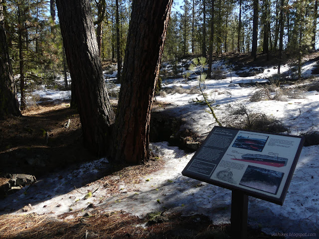
The accessible trail ends as it runs into the Pacific Crest Trail. It jogs to the side and then heads off again to start the loop. There is a sign there that can be used as a key to match up some of what is in the downloadable brochure with the existing numbers. I headed off clockwise, which turned out to be a good choice.

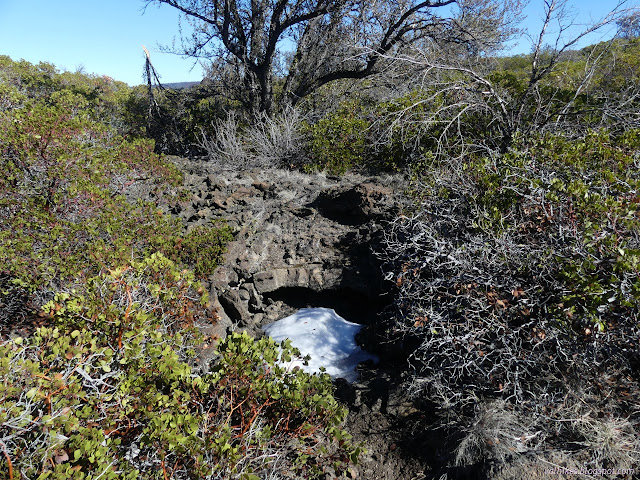
The trail is suggested for spring, summer, or fall. This being winter with a little snow left, some of the features were hidden from view. It became a more challenging trail in the melt as I often had to keep to the snow or rocks beside the trail because the trail itself was too soft.
I liked this choice because bit of climb was easily controlled going up, but would have been easy to slip on coming down. The trail climbs in switchbacks on a north side slope and it took a bit of examination to find it. A couple branches had been brought down on it to add to the challenge. At one point, there also seemed to be an old trail. My confusion deepened as I read the old brochure since I hadn't compared its headings to the one on the sign at the branch point to notice they didn't match.
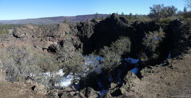

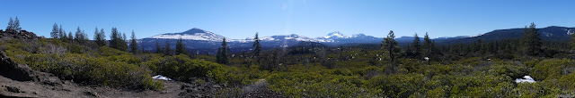
I was really enjoying the view from the higher part of the trail.
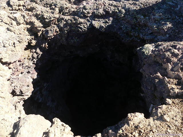
Then I started to drop down a much more gentle slope than I had climbed and the view slowly vanished, but the nearby features continued to amuse and interest. Admittedly, this section of trail had some of the more difficult areas to keep to snow or the durable areas of the trail.


Then I came back around and compared the headings of what I had just read for the posts with that advertised on the sign to find that the reading indeed did not match. It disappoints me when an interpretive trail brochure can't be downloaded, but it is a delightful trail all on its own. I headed back the rest the way, putting on the microspikes again for the ice crossing, then continued on my long drive.
*photo album*
©2022 Valerie Norton
Written 9 Mar 2022
Liked this? Interesting? Click the three bars at the top left for the menu to read more or subscribe!


Comments