Corkscrew Peak
Death Valley National Park
(map link)
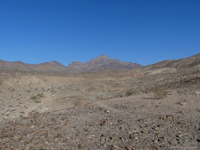
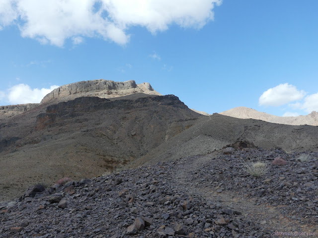
(Not all of Death Valley National Park requires a fee, but this is within the old monument area where a fee is required.) There is no official trail up Corkscrew Peak, but it is sufficiently striking looking that someone decided it needed a roadside sign. I parked beside the sign where I found one of the many thin trails that converge onto a well worn use trail that climbs to the top. It's almost as good as an official trail. I was being promised morning weather including a chance of snow. I could believe it the day before as I explored Rhyolite under thick clouds, but I did the morning trail finding under an arc of solid blue.

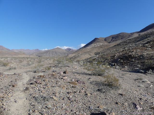
The route drops into a wide wash where I could see remnants of trails from previous years. They all go the same place, into a short canyon with vertical walls. Wind was picking up and feeling a bit cold, so the canyon looked nice as protection from it.
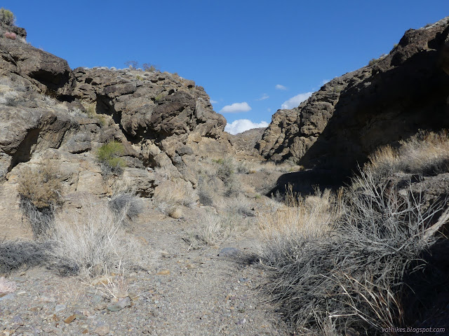
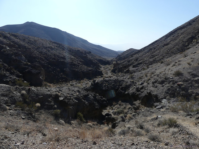
Not too far along, there was a line of rocks and multiple cairns to signal it was time to leave the canyon. I headed up the chute of a tributary wash over the only class 2 spot on the entire hike. I was back to being exposed to the wind as I followed the trail up the ridge.

I stopped and snacked and pulled on more clothes while huddling behind a rock in the wind. I even pulled on the "crawling gloves", cheap gardening gloves with plastic palms, in hope of them doing a little something. Usually there would be something better, but there is a certain momentum to what's stuffed in the pack and they got pulled out for backpacking a while ago.

The wind was increasing and I pulled on the rest of what might keep me warm. It was a bit concerning that there was nothing more except a space blanket and I was still climbing. Coming down had a promise of misery and hopefully nothing more.

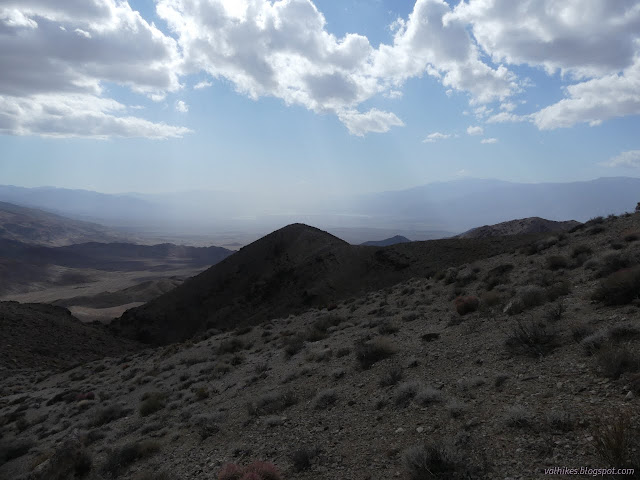
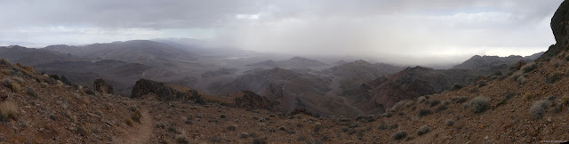
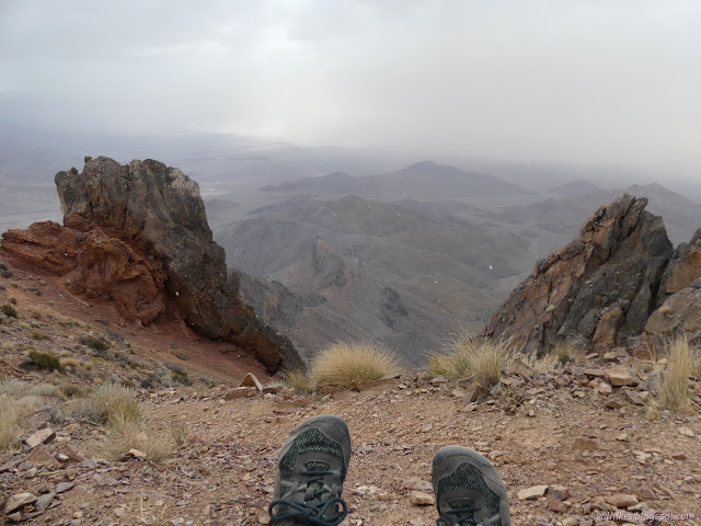
Every time I looked back over the valley, it seemed to be a bit more full of dust. It started wtih a small, localized, but thick spot of dust and just kept building. It was not the day to be down in the valley. It wasn't doing well for my views, either.

The last steep climb included a few extra trails, but was still requiring little to no thought about the route. I found a window and some larger rocks to shelter from the wind and just a bit more to go to actually be at the top of the mountain.

The wind didn't seem quite so bad as I climbed the last little bit to the peak. On the other hand, the snow actually materialized. There wasn't much of it, but it was unmistakable.
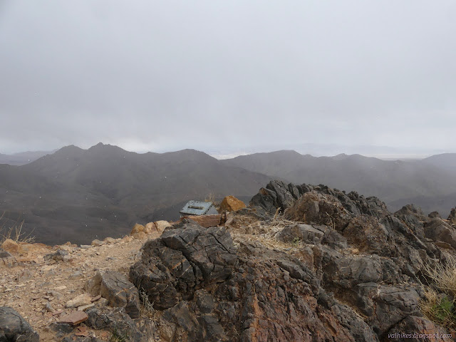

And after a little bit of huddling behind the summit block, I headed back down again. The precipitation was only expected early in the day, so the skies cleared as I went. It didn't get anywhere near as clear as when I started, though.


I had to do a little thinking in choosing which trail to follow back. I wasn't quite on the same path as my way out, but very close, and I got directly to the car once more.

*photo album*
©2022 Valerie Norton
Written 22 Mar 2022
Liked this? Interesting? Click the three bars at the top left for the menu to read more or subscribe!


Comments