Rhyolite ghost town and Ladd Mountain
Rhyolite Historic Area, Tonopah BLM
(map link)
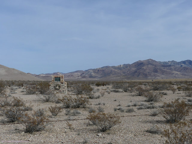
From Walker Lake, I took off south wanting to be set up to climb Corkscrew Peak. That gave me the whole afternoon to check out Rhyolite before finding somewhere to camp. The area itself is day use only, but there's a lot of surrounding Bureau of Land Management (BLM) lands, so that isn't terribly hard. I started out at the cemetery (south from the area shown on the map above), where there is a geocache. It's a nice one that requires one to find information on the gravestones to get the location of the hide outside the actual cemetery but nearby. It seemed like an excellent way to do such a thing. None of the original markers from when it was a town can be read (or, often, found) now, but a few people have been giving more modern markers.

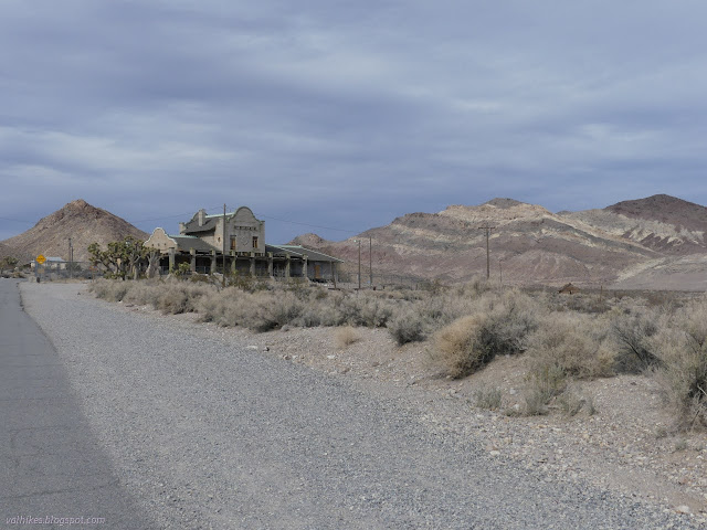
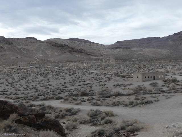
Then I continued up the road to the town. There's various parking all through town along the side of the road, so I just pulled over somewhat randomly and got to walking about. People had big plans for Rhyolite so they built big to make them happen. Reality had different ideas for the future of this town. Although it was given every advantage, it did not last long. Now there are grand shells falling into themselves.


I let the geocache hiders direct me a little more. There was one way up on the side of a hill near a mine with promises of a grand view of Rhyolite. It turned out to be quite near an old mine. The area is full of old mines.

There was another up at the top of a nearby named peak, Ladd Mountain. I stopped back by the car to get on some real shoes, then wandered through some of the side streets toward the small mountain.
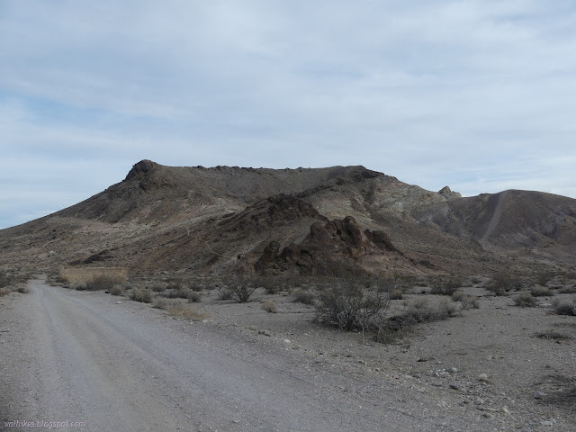

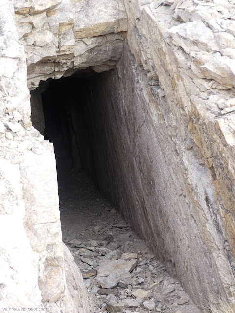
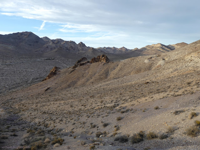
I aimed at some rather well used trail up the side of the mountain. I could see that it got to an old mine shaft and there were more above. There was no trail all the way up, but it clearly gets a little bit of travel.
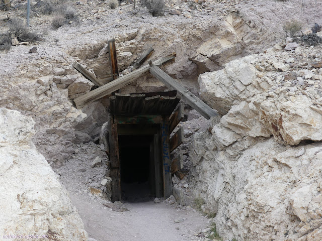

I had to start scrambling a little up the steep ridge once I ran out of trails. I didn't quite seem to run out of little mine shafts to pass by. Most were cordoned off in some way.

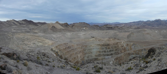
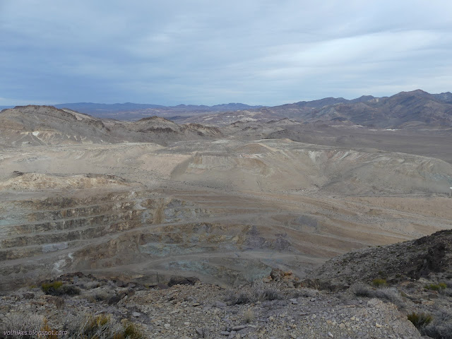
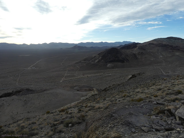
Once at the top of the steep section, I still had a bit to go to the actual top. The mountain is long and climbs gradually to the south. There are points along the way to get over, but I chose to go around to the east side. This meant following along beside a fence and looking down into the huge pit of a modern mine as I went.


After a short while on the peak, I headed down past the geocache, which took a little bit more time to actually find. Then I proceeded down a nearer ridge to the peak. This was steeper and had less trail except for the slide near the bottom where ATVs had been tearing it up.
I wasn't done looking at the town and stopped by a few more spots once I was on nearly flat ground once more.


And with the gathering gloom, I was off to find a place for a snooze.
*photo album*
©2022 Valerie Norton
Written 20 Mar 2022
Liked this? Interesting? Click the three bars at the top left for the menu to read more or subscribe!


Comments