Copper Canyon
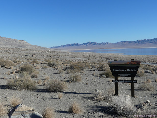
Walker Lake Recreation Area, Stillwater BLM
(map link)
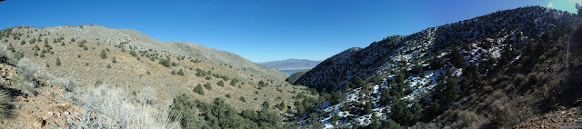
Peak bagging is a bit of a go to for me when looking for a hike in an area without any trails. I especially wanted to go up Mount Grant, the county high point. I expect it requires permission even if one does not try to obtain the key to drive up. Bald Mountain also looked like it could be an excellent hike. There's a canyon west of Sportsmans Beach Campground that looks interesting. What I settled on, partly because I had pulled in forward and didn't want to move the car, was Copper Canyon, directly west of Tamarack Beach. A stub of road gets to it and there is a benchmark far up it implying there was more road once. It could be hiding something. I thought I might turn from the main canyon to pass by a spring, and then make a loop up through some mining history on old pack trails. First, I struck out cross country to the mouth of the canyon, stopping for quick searches for benchmarks, one near the old highway and one near the mouth of the canyon, that are in the same set as the one deep in the canyon.
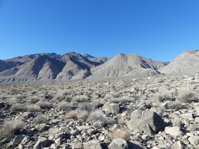
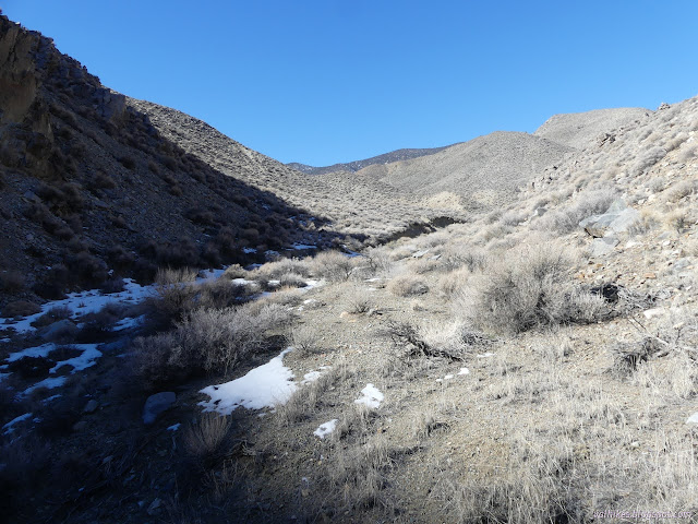
It was already a mile by the time I got to the mouth of the canyon. (But I found the first 2 of 3 benchmarks on the way.) The road barely entered before getting cut off by the creek bed. ATVs had gone down it once or twice, but they didn't go far up the canyon either. It just made it easier for me to get down from the road bed into the canyon. I followed a faint trail up the other side, but that quickly vanished too. There's just a bit of canyon and one may choose freely where to hike it.
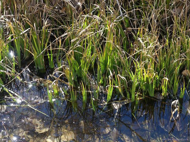
While the trail vanished, there were a couple sets of footprints in the dirt. It wasn't long before I found a little water in the bottom of the canyon. At first, it was actually ice that had been puddles. Further up, there was flowing water. It posed no challenge to traveling up the canyon.
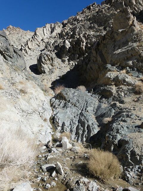
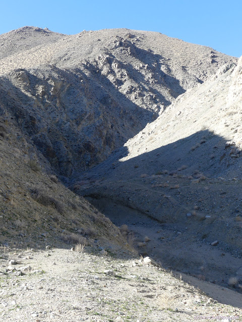
Water didn't stick around. There was still a lot of dry canyon as I climbed. I came to a short fall that was a walkup (above) and then a big waterfall that was not. There, trails appeared on both sides showing how people or animals had gone up before. I chose the one on the right, going up dirt behind a cottonwood tree. Past it was another climb past a big boulder choke stone that wasn't too difficult.


Past all these climbs, I came to where the benchmark was marked on the map. Perhaps it did not indicate that there was more road once. I found it on a big rock looking about the way it likely looked when it was placed in 1935.


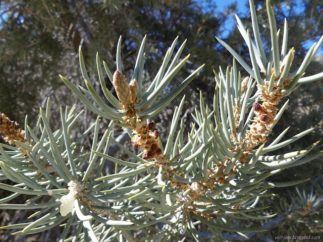
Travel was easy above the benchmark, except that sometimes the vegetation makes it more difficult. There were no more climbs. I encountered a pair of pinyon pines just short of the split where I was planning to leave the main canyon. The footprints I had seen had been evident from time to time, but they continued up the main canyon. I soon found water again in the bottom of the canyon, but it still wasn't continuous. There was some flow.


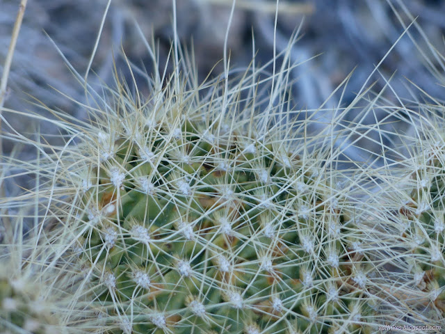
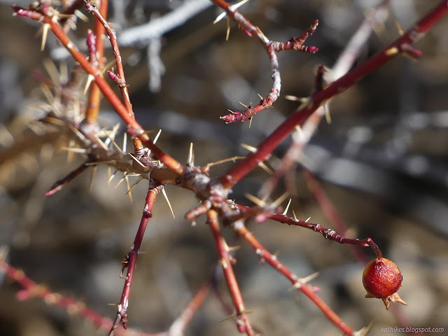
Traveling up the canyon with the spring proved a little more difficult than the main canyon looked like it would be. It is much narrower. It wasn't choked by vegetation until I was almost upon the spring itself. Someone had cut a way through the willows and across the main pool, but there were still thorns to deal with. I pondered the lovely, precious water a few minutes before moving on.

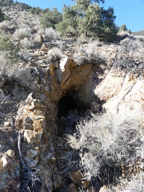
There was a little more water among the rocks above where the spring was marked, and then it was all dry again. Shortly above there, I found a lot of evidence of prospecting. There were a few tin cans, large cairns including one with an old tobacco can, a camp with a large fire ring, and a very visible prospect. It was still over a mile to the mapped mining area, with trails and prospects.


There wasn't much trail from the first evidence of mine and spring on up even though I was expecting something. When I got to my proposed loop of trail, I did find it, but not when I first encountered it. Someone had run a bulldozer over it and turned it into a road at some point. Even with this, it took a bit to pick it out of the general dirt and gravel. The wash had cut deeply down below the level of the road since it was done.

It was very nearly turn around time, so I didn't have enough time to actually do the loop once I'd found the "trail". The north slope side that I was planning to go up first was choked with pinyon pines and covered in a layer of snow. It looked like there would be a lot of stuff to crawl over or under. The sunny south side was two lines of berm with very little vegetation, but was less interesting to me. A third road makes a small loop with the first and would become hard to climb too. I decided to forgo it all and climbed up to some tailings above the junction to sit for some lunch with a view before heading back.

I headed back down, keeping a little more to the washes the way the ponies seem to. They are clearly frequent visitors, but not enough to make good trails. I tried to make my way around the spring instead of through it, but it was sufficiently difficult that another quick session with the thorns might have been better.


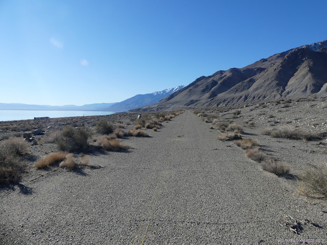
Once out of the canyon, I stuck better to the roads available. It was just longer, it wasn't any easier.

*photo album*
©2022 Valerie Norton
Written 19 Mar 2022
Liked this? Interesting? Click the three bars at the top left for the menu to read more or subscribe!


Comments