Arcata Ridge Trail and the long way back
Arcata Communuty Forest
(map link)
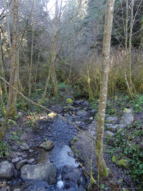
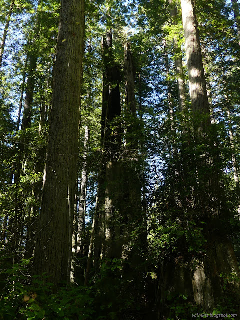
Having decided to uproot my life to do some manual labor in New Mexico, I was off to Harbor Freight for a light duty grease gun to do some yearly maintenance on the trailer that really should have been done a time or two already. That put me conveniently close to the usual Arcata Ridge Trail trailhead for one last hike (for a while) in the Community Forest. Various hikes around the community forest are one of the few ways to get some elevation gain near Arcata. I resolved to hike the whole of the Arcata Ridge Trail to Fickle Hill, then up around the highest area of the forest, looping back down the long way. There were a few Caltrans vehicles and a couple hikers parked at the trailhead as I started. The creek was flowing, but not strongly, as I walked along it. The record, in some nearby spots, rain in December had yielded to a dry January.
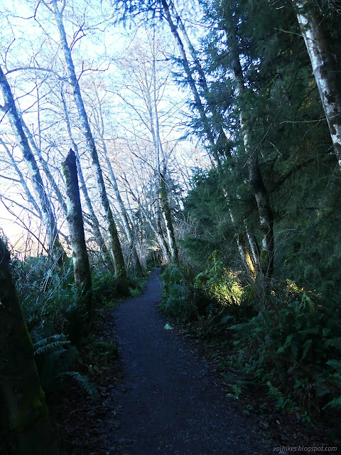
It takes a little while to get to the climb, but some of it is steep when it does come. I decided not to take the new bypass trail this time and just took on the slope of the road-as-trail.

After that first climb, there's a bit of rolling that generally climbs some more. The Arcata Ridge Trail route could be better marked. Some places you've just got to get out the map to figure out which way at a junction.

One last unmarked junction carries one over a big, new bridge and switchbacking up a last little hill. There, just before the road, one is told that one must turn around and return the way one came. It makes no sense since there is a public road there. There is no parking, to be sure, but cars are not the only mode of travel along public roads.


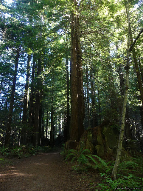
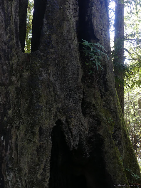
I retraced my steps to the previous junction and took a right to wind mercilessly on a track developed by mountain bikes to be a longer ride without necessarily going anywhere. Eventually I found the older trails and got to climb into the upper sections of the forest. There is a loop with jumps for the bikes. I turned downhill on a trail (17) deemed too treacherous for bikes or horses. It is, in my opinion, the only trail marked "steep" on the map that holds up to its promise. There are a couple spots along it which made me glad of the past dry month, at least as far as my stepping was concerned. Eventually the missing water will be needed.


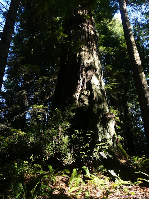
If you look, you see the evidence that somehow the loggers got into this steep valley. I climbed up the other side to another high point of the forest, then continued down along the road. Had I been looking for the longest way back, I'd have taken trails 7 and 6 along the way. They are more picturesque than the old road that is the other option. However, that old road is not utterly irredeemable.
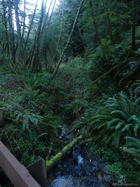
Another nice excursion, making the way back longer, is trail 19. I skipped that one too. Then I came to the Janes Creek Loop and went for this one. The trail in this direction can make one regret the choice due to slick mud, but the overly dry season was my advantage again. When it is wet, it is best to climb this trail rather than descend.
A little climb gets back to the Arcata Ridge Trail, which I followed back out to the ample parking on the north end of the trail where my car had a few different companions from other hikers.
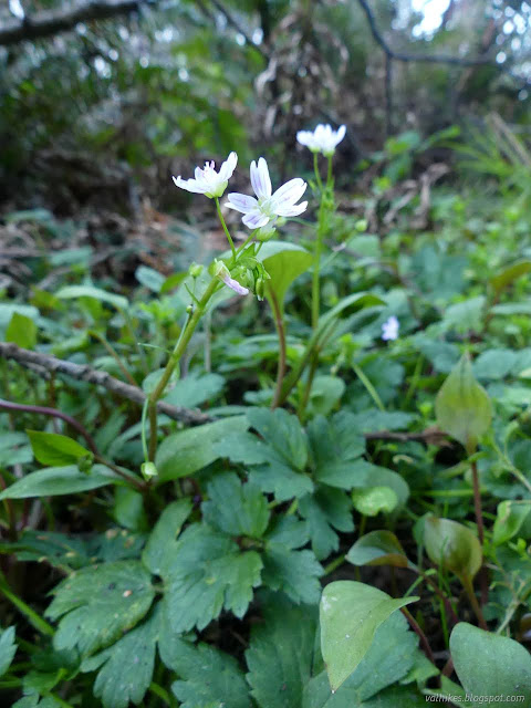
*photo album*
©2022 Valerie Norton
Written 27 Feb 2022
Liked this? Interesting? Click the three bars at the top left for the menu to read more or subscribe!


Comments