Signal Mountain
Kingman Field Office BLM
(map link)
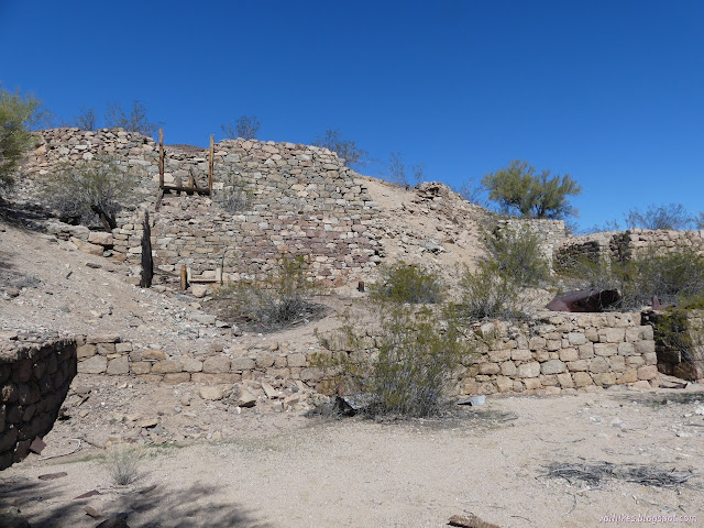
I have to admit, I was a little concerned what the state of the roads would be as I drove along them, but Signal Road does happen to be a maintained one. It still gets a little rough when it passes the washes, but for now it was fine in the little car. It is maintained from US-93 to Alamo Road, another maintained road. After exploring to the west end, where I found a well used camping area, I decided to visit Signal, the vanished town that someone had helpfully signed, and the mining works that supported it. The sign did make it look like this was the private property north/west of the road, but it is actually south/east. I found more camping and a couple of groups there as I walked over to the mine.


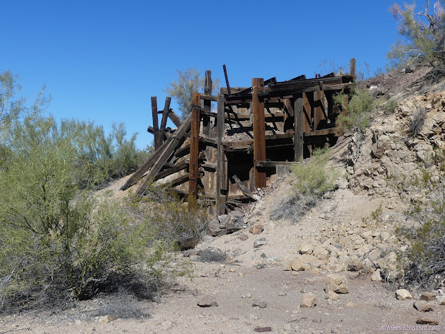

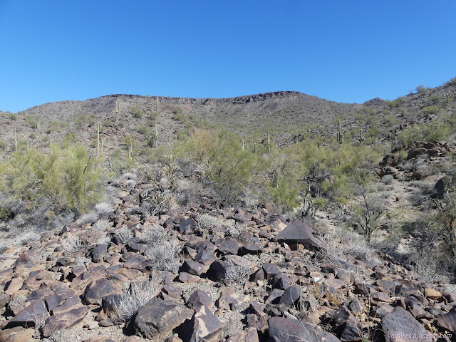
Having finally noticed that (of course) Signal Mountain is the big mesa behind Signal, I got myself better prepared for a long hike before heading off to the cemetery. On the way, I found more pieces of mine, but not a lot that looked like it might have been part of Signal.


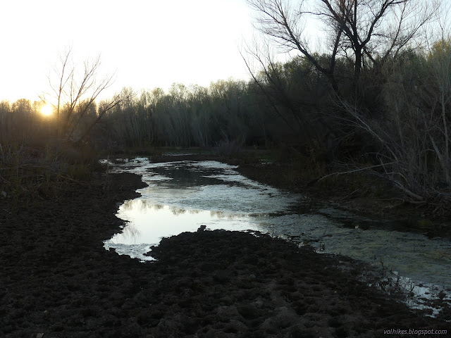
Then I turned to find a way up Signal Mountain, missing the cliffs via the south ridge. My first task was to get across the Big Sandy River. Many of the washes on the road cross this and it was quite dry as I did, but in this section the cottonwoods are starting to leaf out. I wondered if this might not be a hint that there was water somewhere. I picked a wash on the map heading up from the river and aimed myself at it.

The first water I came to wasn't something I could jump nor was there a rock to help out. The mud didn't look very supportive either. I picked an area no too much torn up by cows and got my feet wet quickly. It was a hot day anyway, so the little bit of cool from the wet should feel good. I could hop over the other two. The cow paths helped me find a way up through the cottonwoods, which can set up a surprisingly effective barrier. I got to the wash I'd picked with a little bit of ducking.

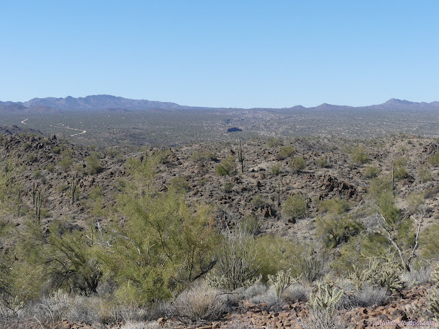
Hiking up the wash was rather easy. There was a major branching and I seemed to encounter the only cairn of the day there, indicating I should go to the right. This was the way I wanted to go, heading to a wide saddle still far below the mesa.
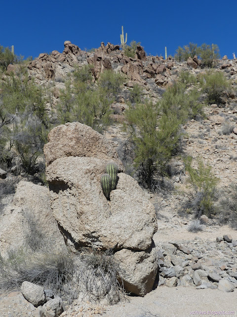

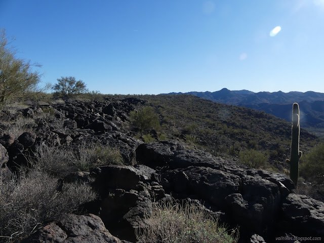
I went over the top of the saddle, though it was so wide and flat, it was hard to say if I really had. I found another wash to climb, along my planned route. I'd get up on the right side of it soon enough and actually got up sooner than expected. I followed burro trails as I saw fit and left them when they seemed to flatten out to something. There were a lot of something like trails to follow as I popped up south of the cliff band at the top.

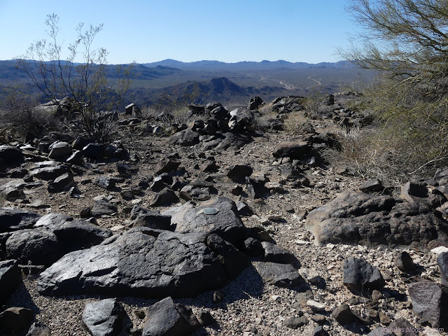
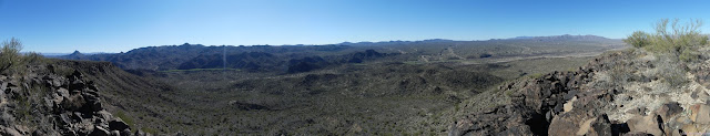
Up top, it was flat flat flat. There was a slope to it and I sort of directed myself upward until I came to a load of rocks that looked a bit like they might be a high point. Maybe? It seemed early on in wandering to get to one.


After claiming the possible high point, I headed off in what felt like downhill ever so slightly to the location of the benchmark. It is set to be visible rather than to be highest.
I headed north to find a different way down with some thought to finding the azimuth mark. The trouble is, I hadn't figured out what the instructions to find it actually meant. It said half a mile north of the benchmark on the western cliffs. I looked near the northernmost bit of western cliffs, or what I would call them, but that was only a third of a mile north. It wasn't there.
I headed down, failing to quite follow my plan as well as my climb did, but didn't run into anything too steep. I eventually found my way into a wash that was particularly easy travel down to Big Sandy. A short and narrow slot likely keeps out any ATV traffic on that bit of wilderness.

Cow paths where everywhere below. They head up the sides of the wash when the going gets tough, so I followed them when they were major enough. I had a little bit of Big Sandy to navigate again and just followed a well trod trail on the hills beside it for a while, then in it. The transition took a little ducking under the growth. When I tried to cross it, the transition took a little too much and I had to give up and find a different way.

I had been hopeful to navigate the river without any more wet feet. That section that I'd come to was quite dry at the surface. By following the river, I got to some huge pools of gross water. I headed around the edge, getting into only the harder mud, and worked some more at getting out to finally make it right next to the mine once more.

From the mine, getting back to the car was simple. Who would have thought that crossing the nearly dry river would be the hard part in climbing a peak?
*photo album*
©2022 Valerie Norton
Written 5 Apr 2022
Liked this? Interesting? Click the three bars at the top left for the menu to read more or subscribe!


Comments