Posts

Showing posts with the label ocean view

Agents of Discovery at Trinidad Head

Image
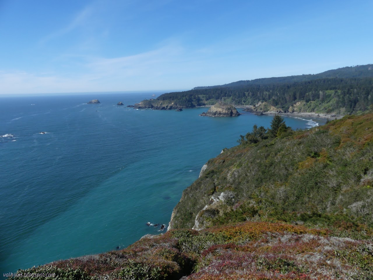
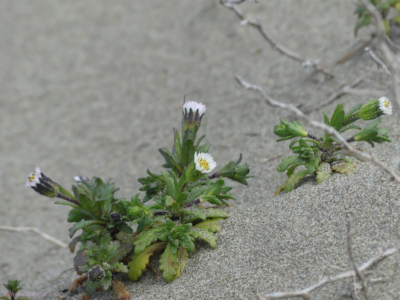
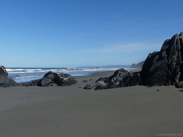
California Coastal National Monument Click for map Did you know the Bureau of Land Management also does Junior Ranger programs? In the case of the Trinidad Head Lighthouse, there is both a traditional paper program (called Junior Explorer, but it's the same thing) and an electronic one using the Agents of Discovery app . I've been meaning to try out the paper one except that it seems like a lot of paper (waste!) and it's not as approachable as a PDF on a tiny screen. (Plus it's very hard to take a rubbing on a PDF.) You should be able to pick up the booklet at either the Arcata Field Office or the Trinidad Museum. The electronic one is made for that sort of small screen, so I decided to try it. I was sort of expecting a rehash of the Redwood Edventures Quest for Trinidad , but that's not what I got. So step one: download the app. It is huge. The app is taking 166 MB and it has another 482 MB of data after downloading 1 mission. There's also 1 demo and 5...

Tidytips on Manila and Samoa Dunes

Image
Humboldt Coastal Nature Center Manila Dunes Recreation Area Samoa Dunes and Wetlands Conservation Area Click for full screen map The dunes are about to explode with bright flowers. It's getting some start now, particularly showing off a few of the endemic and endangered flowers. I've shown off the Humboldt Bay (Menzie's) wallflowers before. This time I was out to find some beach Layia, also known as beach tidytips. (Blooming, this time. Not just leaf clusters like I saw on the Hikshari' sand spit !) I started at the Humboldt Coastal Nature Center and headed for the high dunes. It's been a while since I spent some time on these highest of places in an area entirely built of whatever the ocean tosses up. Besides, the Wildberries Trail was flooded recently. The Humboldt Coastal Nature Center is a striking building. Stop inside for all kinds of information and there are bathrooms and bicycle parking to the left. The trail over the high dunes starts on the ...

Me'tsko River and Beach and Dunes

Image
Clam Beach County Park Little River State Beach ( map link ) I decided the place I wanted to go for this window of sunshine between the rain was Little River State Beach, which I previously visited on an even sunnier June day full of flowers . There aren't quite so many flowers as March starts. It's not very big, so I decided I should take in some of the county's Clam Beach to the south and Moonstone Beach to the north. The tide would be out late in the afternoon, so I left the areas with cliffs for late. I started in the county's North Lot, which was quite busy at one end and flooded at the other. Lots of dogs out, but all but one with obedient people leashing them. North of the lot is Little River State Beach which only allows dogs leashed on the waveslope. They take their position as critical snowy plover habitat seriously and loose dogs are huge threat to the ground nesting birds. Plenty of parking under the bluffs at the beach. There's trail around ...

Agate Beach and around the Rim

Image
Sue-meg State Park ( map link ) I almost got enticed by the siren song of a King Range permit that was sitting spare for Tuesday, which was the start of both good tides and good weather for the Lost Coast Trail. But! I want to do too big a trip to get ready in the half day that I had to sort things out, so I let that treasure go, likely unused by anyone. I decided to get out to Sue-meg for the first time since its older name was applied to the whole state park, not just the ceremonial village within, during some of that perfect weather and tides. There is an $8 fee to drive in, but it is free to walk in or bike in. Trails don't allow bikes or dogs. Fancy new signs to mark the park under the old Sitka spruce. I headed for Sue-meg Village first. It isn't a village in the sense that no one lives there, but it does have purpose beyond showing off the local architecture. The outside of one sturdy home. Inside a house including its big bear-proof doorway. Next, I h...

Megwil and Omenoku Points

Image
Trinidad State Beach ( map link ) After wandering a few beaches (and rocks) south of Trinidad, I headed off to wander a few rocks (and beach) north of Trinidad. I found the parking lot at the north end of Trinidad State Beach working its way toward full. Most were headed out toward Elk Head, but quite a few got caught by the trail down to the beach around College Cove. There's plenty of beach down around College Cove, but the arch is watery I shuffled off fairly directly to Megwil Point on Elk Head. Lots of cliffs to the north Out to the point to look south to Trinidad Head

Trinidad Head to Elk Head

Image
Trinidad State Beach (map link) I decided to have a walk out to Elk Head and watch the water a little out there. I parked at the other end of the park by Trinidad Head, then climbed over the ice plant covered hump of sand to the beach. The tide was quite high. Some day I should come at a low tide and actually get to see the arch up close. Well, the one arch on the beach, anyway. There seem to be quite a few in the area. The blowhole spouted once on the side of Pewetole Island to help remind me of other fun structures within the rocks that happen to exist out here. The stacks around College Cove at Trinidad State Beach. The trees on Pewetole Island are looking very nude for the season. I had to scamper across the beach in a couple spots before getting to the trail up beside Mill Creek. It has nice flow right now. The squish spots on the trail were almost dry enough to just walk across without paying too much attention to foot placement. Above the mouth of Mill Creek. Mi...

California Coastal Trail, Tey-wo-lew Section

Image
Redwood National Park (Map link.) I decided to give the Tey-wo-lew section another chance. (And since it's so short, I could maybe visit those ghost pipes again after.) My first time along it , all I knew was there was a line on the map. I didn't know it was the main highway until that was rerouted inland, then was the Coastal Drive until getting gated a couple decades ago. Finding a wide, fairly level "trail" that was sometimes paved and even lined, was an unwelcome surprise. The day happened to be fairly foggy, so I didn't get any of the views. I checked to make sure there was a reasonable chance of some clear coastline before coming. Unfortunately, my camera managed to make it onto the floor instead of into the car, so that coastline got photographed with a cell phone. It's a shiny new cell phone and it has three cameras, so we shall see. It was bought so I'd be on the T-Mobile network instead of the dying Sprint network, not for a good camera, s...

Elk Head and College Cove

Image
Trinidad State Beach (Map link.) I have been neglecting Trinidad State Beach and I decided to rectify that for the moment. There are three main parking areas. One is down by the harbor and the other two are along narrow Stagecoach Road. I stopped at the main parking and picnic area with its paved, pull in parking, and cut across the lawn past one of the tables to an unsigned trail just east of the bathroom. It cuts down to a neighborhood access trail that roughly follows the road to the east. I turned west, which gets into the small trail system instead. One official route down from the parking lot. It is unsigned, but has wooden step improvements. The trail stays fairly high on its way to a junction with an obscured beach view. I looked at the narrow, weed encroached trail heading downward and wondered if that was what I was really looking for. I followed the recently worked to a wide footpath trail upward to find that it probably was. It got to looking more official on...

Rim Trail and Ceremonial Rock

Image
Patricks Point State Park Click for map. I headed out to Patrick's Point to "see it all". (This park has an $8/car day use fee.) I have missed a couple spots so far. The entrance station was in a moment of being unmanned, so I stopped by the visitor center. The volunteer within didn't know the answers to my camping questions. She probably does know various interesting things about many of the parks, but I wasn't able to form the right questions to get that either. So I left and popped over to see the Sumeg Village. It's not one of the spaces I've missed, but it is in the process of being renewed, so it's not the same as it was. The trail to the Sumeg Village starts just past the living being of a canoe. Not much change to the houses yet. These appear short because much of the space is actually below ground. Materials are being gathered. This likely represents quite a bit of work as traditional methods are being used. Then I remembere...

Redwood Creek Levee to Mussel Point

Image
Redwood National Forest Click for map. Can you walk the levee through Orick? Generally, yes. The California Coastal Trail going north comes off the beach at Redwood Creek, turning to follow the levee along the south side, then over the bridge and along on the north side until it runs out at the edge of US-101. To start the Orick Horse Trails, one walks the rother bit of south levee. I couldn't find out anything about the last bit of levee that I wanted to hike, so I asked at the Thomas H. Kuchel Visitor Center and was told it's all Redwood National Park. They don't actually claim it on the brochure map, but if it's not theirs, it is Army Corps of Engineers (who built it) or Humboldt County (who maintains it). Also, I could just skip the levee walk and drive out to the beach parking right on the end of it. If that's my pleasure. I decided it wasn't. Parking near the bridge is either city related or at the horse trails. I had read that the parking was ...

Dry Lagoon and Stone Lagoon, California Coastal Trail explorations

Image
Humboldt Lagoons State Park Click for map. I was thinking I might try to write up a guide to hiking the California Coastal Trail through the Redwood National and State Parks, where quite a lot of it actually is trail. Then I reflected how much better I knew the southern parts of that especially as I found out there's a little trail before getting to Crescent City north of the Last Chance Section. Then I realized that there are parks nearby to the south of the redwood ones and... where does it go there? It only gets the briefest thought on the Patrick's Point State Park map , out on Agate Beach. It is actually marked on the Humboldt Lagoon State Park map , but with holes. Mostly it follows along the sand spits that wall off the lagoons from the ocean. There is one bit of proper trail to get around Sharp Point that I have actually hiked before, albeit in a hurried fashion . The north end of that is one of the holes. I already knew that was real for official trail. There a...