Me'tsko River and Beach and Dunes
Clam Beach County Park
Little River State Beach

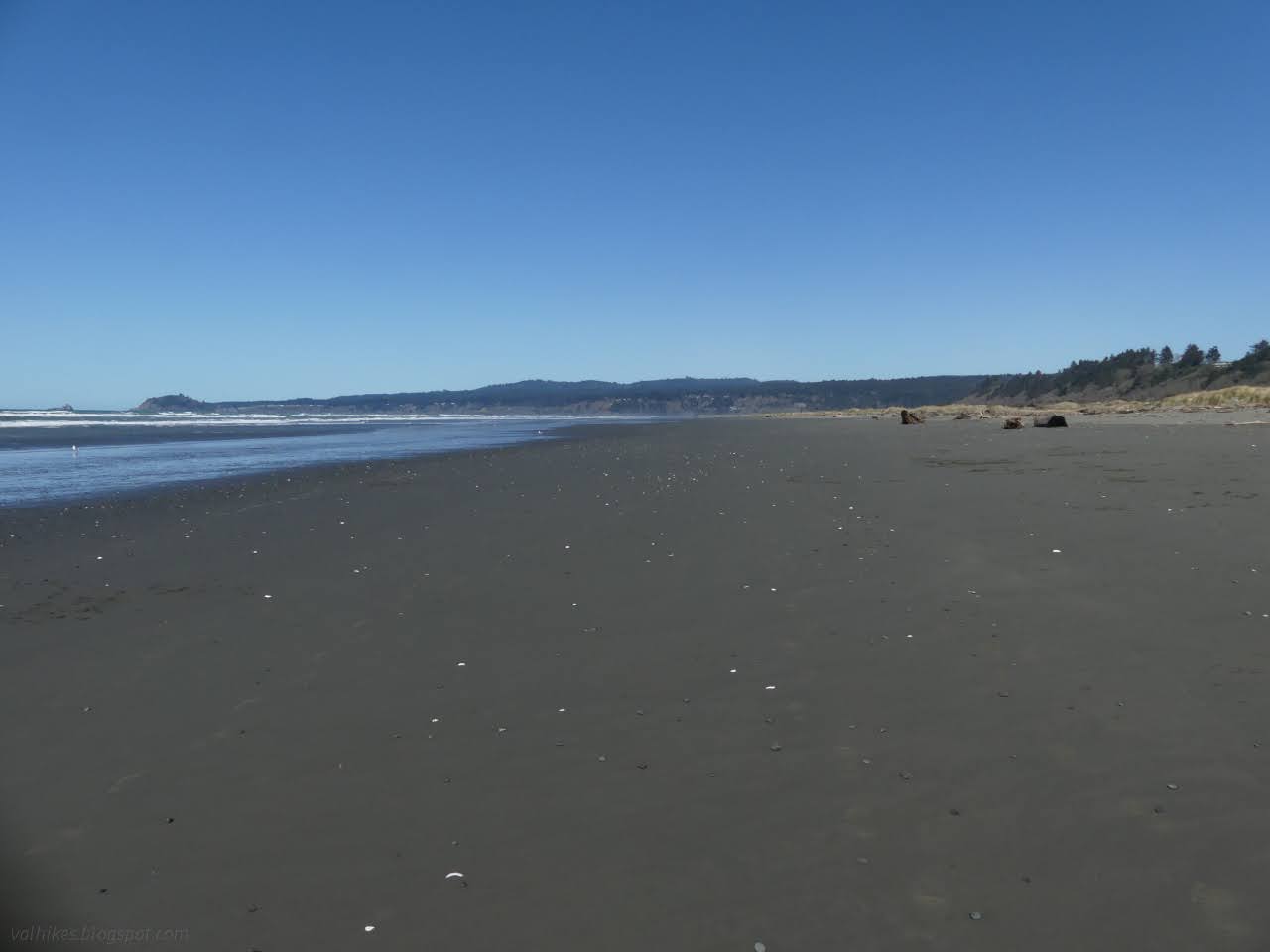
I decided the place I wanted to go for this window of sunshine between the rain was Little River State Beach, which I previously visited on an even sunnier June day full of flowers. There aren't quite so many flowers as March starts. It's not very big, so I decided I should take in some of the county's Clam Beach to the south and Moonstone Beach to the north. The tide would be out late in the afternoon, so I left the areas with cliffs for late. I started in the county's North Lot, which was quite busy at one end and flooded at the other. Lots of dogs out, but all but one with obedient people leashing them. North of the lot is Little River State Beach which only allows dogs leashed on the waveslope. They take their position as critical snowy plover habitat seriously and loose dogs are huge threat to the ground nesting birds.

There's trail around the edge, which makes it easy to avoid the flooding, unless you're trying to take advantage of the accessible trail. The county has put out a mat from the paved parking to the high tide line to improve accessibility, but it can be wet at the start in winter and spring. The rest is high and dry, or was today.

Along the sides, there were signs marking closed area. Upon inspection, the closure was for a week that ended a week ago. Inspecting beyond, it was clear what the closure was for. The dune grass may be slowly getting plucked away by hand at Ma-le'l, but the folks at CalParks have opted for a much faster method: bulldozer. It's a lot more violent for the few native plants that still live among the crowding invader.

I took the path out to the beach and turned south, but only stayed out there briefly before turning back for the dunes.

Humboldt County might wish to be rid of their European dune grass too, but they haven't found the money for it yet. The dunes are hills of waving grasses.


I spotted an opening into the dunes and a high hill that appeared to be frequented. It even had trail built up it with driftwood set to hold steps.


Sometimes the willows and blackberries grow so thick, you never actually see the wetlands in the dunes, but they form in the low spaces and flood in the winter when the water table comes up about 5 feet. Currently, the flooding is at its highest. The weather should start drying out now, or at least that used to be the climate here. This particular wetland happens to be inhabited by quite a lot of Pampas grass, which I'm sure the county would also like to see gone with vigor. It's particularly nasty to meet up close.

There's no set trails through the dunes and those that are there are discontinuous. I had to retreat and take a new route a few times when one just ended. A rider came by on lower trails, rather cautiously until she got close enough to ask if I had a loose dog. Makes sense. The dogs can spook a horse and have been known to challenge and harass them, plus some horses will make every effort to stomp a dog.


More slowly than expected, I found myself in line with the county's South Lot, about as far south as I had planned to go. There is another mile or so to get to the mouth of the Baduwa't (Mad) River.


I turned to head north, generally keeping to the more solid wet sand as I went.


The wind was blowing harshly and I'd not found my windbreaker in my pack, nor anything like a windbreaker in the car before setting out. It was not the most comfortable to be out in in an airy fleece. However, it's effects were at times more entertaining than harsh. For a bit, I got wrapped up in trying to capture the foam bubbles that were blowing across the film of water found on some of the beach.


Closer to the river, what was a bar of higher and drier sand got to be the divider between gentle breakers and a flowing stream.


And how big is Little River at this time, possibly its highest time of the year outside of storm surges? Judging by the boisterous dogs playing on the other side and into it, probably around knee high with a noticable but not too strong current. And then I'd be among those boisterous dogs and their enthusiastic friends, which looks like a lot of fun for the dogs and not so much for me. Or the birds who were all on the south side. I decided to stick with the birds.

I turned to follow the river upward, intending to connect in with the Backdunes Trail of Little River State Beach.


Little River also hasn't always been labeled with its rather generic English name. It is Me'tsko to the Yurok whose southern village was on its banks. It is Plhut Gasamuli'm to the Wiyot who hunted just south of it and up in its prairies.


At the curve of the river, which looks a bit swampy and encourages avoidance, I wandered inland. This was likely the wrong choice, because I did not achieve connecting with the Backdunes Trail. It is definitely swampy along the line with the river bend.


There's a section of dunes that's covered in the same invasive grasses as the county's park, but then there starts to be some natives as I popped out into clearer dunes. I'm pretty sure this is another chunk of land that got restored by bulldozer, but after a few years of work. It'll get roped off later to help people avoid the nesting grounds for snowy plover. March is still early for that.

That's not really where I wanted to be. When I spotted a dry crossing, I took it, but that only got me as far as the willow filled wetlands. There wasn't a dry crossing there. I wandered back north a little way still hoping to catch the trails, then gave up with one wet foot and took off along the edge the other way. The North Beach Trail met me instead.


I kept on the Nearshore Dunes Trail when I got to it. At this point, the Backdunes Trail is pretty close to the road and not so attractive.


And when I came to the end of that, I followed the South Beach Trail out to the beach to return to the county's North Lot once more.

*photo album*
©2024 Valerie Norton
Written 12 Mar 2024
Liked this? Interesting? Click the three bars at the top left for the menu to read more or subscribe!


Comments