McKinleyville Community Forest
McKinleyville City Park

McKinleyville closed escrow on their 599 acre community forest on 31 January and McKinleyville Community Services District, in whose hands that ownership and operation now resides, says the public may come and walk and ride bikes and probably even a horses. (Someone certainly has given it a try.) There are two undeveloped entry points along Murry Road to use for this access and other entry points are planned. They add that the Green Diamond Resource Company lands to the east of the forest are still closed to the public. I spent a little time with OpenStreetMap, a Strava heat map overlay, and their printable georeferenced pdf map to determine (and mark) what, exactly, was open and what was not. I also spent some time with the McKinleyville Community Forest Framework Plan and wasn't exactly sure what to expect. A little disturbing is that Green Diamond apparently went and logged three big chunks of this land between when they approached the city about maybe buying it and when they actually sold it. This early first day of spring wasn't really the best day for it, being overcast and expecting to stay that way, but the next few days were claiming the same. I went for it. Zero chance of rain at least.

My plan was actually to start at the western entry and only come to the eastern one if crossing Widow White Creek was too much. The road edge to the gravel parking looked a little scary for the small car while zooming past at less than the 45MPH speed limit. The larger eastern parking looked better, plus there's a good start on a parking lot even if it is behind a locked gate for now. There is even one sign to confirm I was at McKinleyville Community Forest, which was one more than expected. No one was at either, but that wouldn't mean I have the place to myself. The local public has a few other ideas of entry points.

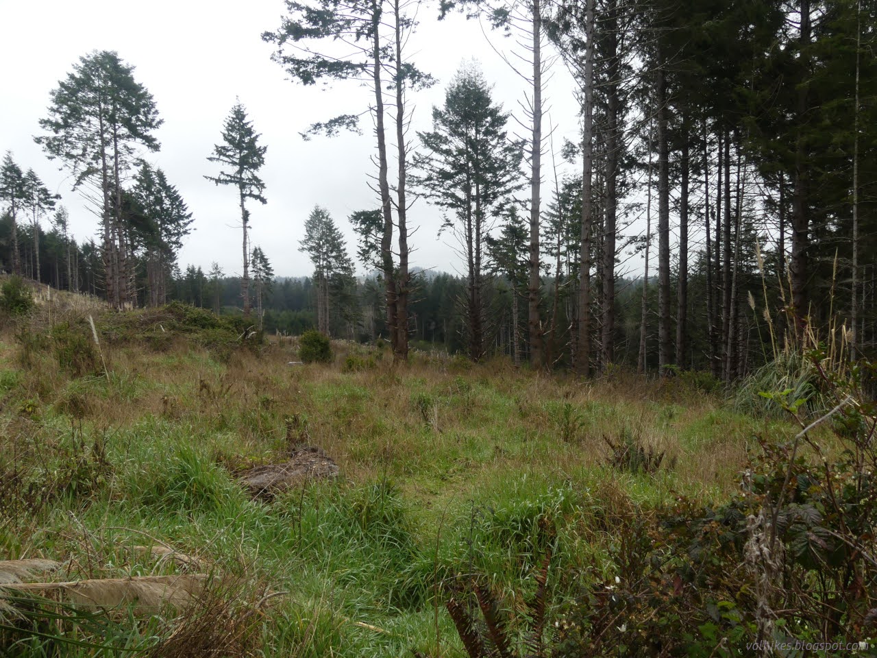
The trail from the eastern access point starts off high up on the edge of an area so steep it is prone to slides. It immediately offered views that made me regret that the weather wasn't conducive to appreciating them. Still, I expected the afternoon would see some sun holes as often happens in spite of predictions of 97% or more cloud cover all day.

Another thing in the plan that gave me pause was the mention of "even-aged management" which will now be replaced with selection harvest. Some faded "timber harvest boundary" flags were along the east side of the road, the part that is still Green Diamond land, giving me a chance to see the end result of the old management technique.

On the other hand, the roads I would be following don't all look like wide, well used tracks. The fresh "timber harvest boundary" ribbons along the left side of this one did suggest it would change in character once things dry out.

This particular track also got quite steep and the flagging mysteriously crossed over and followed another line. At the bottom, the wreck of a subcompact car to inspire tales. I expect that will vanish soon since it isn't all that far off a bigger road.

The open areas of the forest may have a few more birds. I was certainly hearing a few. Of course, the road noise started up and would not stop as soon as I held aloft the device to record some of that song. It's mostly Pacific wren according to the Merlin app.
I continued down, keeping right as that keeps me on the public route. The rest of the way wasn't particularly steep.

At the bottom of the hill, I turned right again to have a look at Widow White Creek. The road that way included some massive puddles. It's more that will need to be dealt with before too long as it tends to lead to an ever widening track.

The old road down and across the creek is highly eroded but the crossing is possible. It doesn't look so nice, but there's some amazing skunk cabbage nearby.

Once away from the creek, the trail on the far side was a little drier. It's thick, dark forest all the way to the road. Parking at the western access point didn't look half so scary from the vantage point of standing there.


If deciding to make a loop of it, keep in mind that road without even the thought of a bike lane at the edge has a 45MPH speed limit. There's routes on the north side, but that bit of forest was withheld from the sale. Any use of them would be trespassing. I turned back. I still had my primary goal for the day to achieve: getting to the south end of the new community forest.


South I went, expecting it to be fairly flat as I went. It was at first. The mist got so heavy it was hard to claim it wasn't raining.


I noted a couple of those side trails being used for access from the west side. They look like pretty big trails, sometimes roads, from the main road through the forest.

Mill Creek was another rough crossing, but with a little less down and up. A small and broken trailer has become a bridge of sorts. It was flipped up and I crossed on the rough supports, then passed into some of the roughest trail-like road of it all.


Past the creek, the trail divided. Happily, this was a bit I mapped. Either way is valid to stay within the community forest. I turned right for the long way.

I nearly missed the turn to leave the skinny trees for an area logged in 2017, where road was again wide and easy to follow.


I got to the end of the main road, such as it is, that eventually connects with Essex Lane. Not quite the end of the line as there's a few more roads heading further south inside the community forest. I turned right and then left and then left again. That last one was a mistake. It got me to another lovely little group of skunk cabbage, but when I looked at the map, I was wandering off to the east of where I was aiming. I'd been caught by a road missing from the map.

And when I made a turn to try to get back, I was still going away. I had to retrace my steps back to the community forest.

I almost made it to the south end without any mistakes. Once to the south end, it looked like the trail swishes back and forth back north, making big curves for no other reason than, perhaps, that curves are fun.

I found a nice log to sit on for some lunch along those loops. It had even dried out a bit. The clouds were still quite heavy, but it had stopped misting.

I'd read that there were almost as many redwoods as Sitka spruce and was finding the redwoods a bit harder to find. The answer is that the redwoods tend to be younger. The area they cover is less than half that of the spruce. The volume of redwoods over 11 inches thick is ⅕ that of spruce!


Of course, the new community forest is not just bought for today, but for many decades to come. Redwoods can become quite impressive in a few decades even if they are not yet the impossible seeming 500 year old giants found 40 miles north. And there are already impressive spruce dominated stands.

I poked through the forest to stay outside the flagged timber harvest zone. It was difficult, but there is a bit of old road cut over there. I take it that's really considered the edge.

The expected little bit of sun in the afternoon didn't come about. I think the clouds had lifted a little, but they weren't letting in much more light than at the start. They still didn't show off the view at the top to its best.


My little car had been joined by four burly pickup trucks and a Subaru on the far side. One more vehicle was parked at the west entry when I passed. I only saw a pair of bicycles pop out of one of the entries along the west side and an ATV I desperately hope was there officially. It's quite clear from the plan that motorcycles and ATVs of the general public are not allowed.

Not exactly a lovely first day of spring, but I got out to something fresh for it.
And then I finally realized the full eclipse about to cross Mexico to Texas and then Maine is the spring chance rather than the fall one. It's only 3 weeks off! With the full moon, the phase will be a countdown. With 2000 miles to get to where I was musing about seeing it (no exact location picked), this one probably won't be one I experience.
*photo album*
©2024 Valerie Norton
Written 25 Mar 2024
The day of the full moon, beginning the countdown to new...
Liked this? Interesting? Click the three bars at the top left for the menu to read more or subscribe!


Comments