Posts

Showing posts with the label burn

Marble Caves Trail

Image
Shasta-Trinity National Forest Click for map I wanted to do at least one more hike before the end of summer, so I launched myself on a "Hayfork area" excursion. The weather wasn't exactly cooperating with that end-of-summer vibe I was hoping for. For the foreseeable future, it would be well above normal. Fortunately, the foreseeable future with weather is only about a week and half of that is iffy. Still, it was already noon and looking at a high approaching 90°F as I came to the patch of parking for the trail just outside the seasonal gate for Forest Glen Campground. I assume that's what it's for. I asked the fellow tasked with cleaning the bathrooms for the camp where I should park for the trail and he wasn't even aware there was one! I wasn't disheartened though. I'd seen a promising line climbing the hill as I drove in. There's no sign and there's no tread leaving the road where there should be between the gate and the first sit...
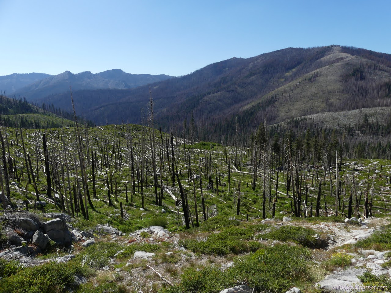
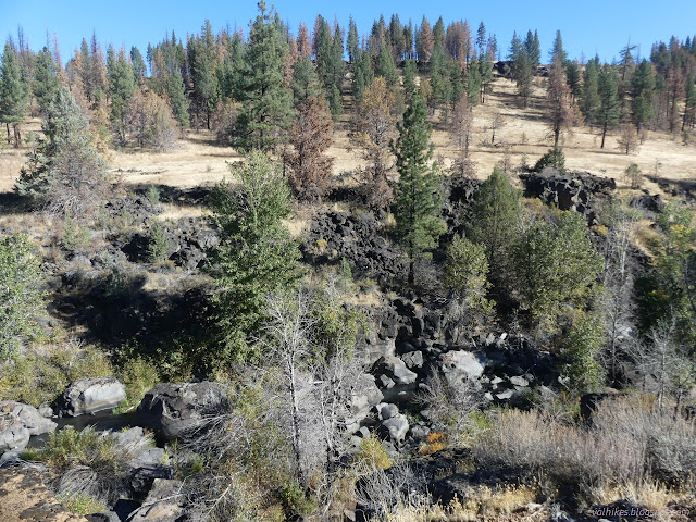
Boulder Loop: Granite Lake

Image
Klamath National Forest Shasta-Trinity National Forest (orange line, map link ) DAY 1  |  DAY 2  |  DAY 3  |  DAY 4  |  DAY 5  |  DAY 6 With suggestions that it could be a hard day with much trail finding, I got an early start. It didn't feel like all that early. Not quite this early. Calculations to be in a spot to see good morning sky colors paid off. I had followed what looked like trail and got to a tiny pond the evening before. The map said I should have got to the other side. I tried again, but still came up on the wrong side of the little pond. Reflecting upon the small pond. From there, nothing else looked like trail. I headed up figuring I would cross it, hopefully, if I climb slower than the trail. I never seemed to quite get as low as it, though. I kept looking down, scanning the slope for a bench of some sort, and there was nothing. Looking back across the lake basin to one of the interesting ridges...

Bizz Johnson NRT — Devils Corral to Goumaz

Image
Lassen National Forest ( map link ) I enjoyed my time on the Bizz Johnson National Recreation Trail yesterday so much, that I decided to try the other direction. It's the same easy railroad grade until it gets to the crossing of CA-36. The train went right across this highway that didn't even exist when the tracks were built, but the people get the only piece of this trail that is not considered accessible as it drops down to cross under the bridge, then climb back up to the railroad grade above, both at greater than 3% grade. Gate upon arriving at the CA-36 right-of-way. Trail drops downward to the left. The actual old grade has already gone to the right. Looking up to the CA-36 bridge over Susan River (and the moon below it) The railroad bridge and the old Lassen Highway bridge Trail gets back on grade just before the biggest bridge over the Susan River. It comes with a lovely interpretive sign about the bridge that includes a lot of pictures. The railroad b...

Boulder: Coyote Lake and Blueberry Lake

Image
Bridger-Teton National Forest (red line, map link ) DAY 1  |  DAY 2  |  DAY 3  |  DAY 4 I had had thoughts of taking one more day heading north on Fremont Trail (and the Continental Divide Trail), but it wasn't going to happen after all. I turned to head for the trailhead instead. The shortcut trail is signed on this end. Leaving North Fork Lake, seen between the hills. But first, I was going to see what that black block on the map might be. There's a little bit of trail out to it, but I only caught that for the way back. There's a camp area that has been used by equestrians. Further into the trees is the old cabin. Maybe there was a guard station once. It looks like a rougher construction than those generally are. Then I headed out to find the Highline Trail. It was ultimately under some trees making a sharp bend on its way down a hill to get to Lake Vera. Unnamed pond along the trail. I turned the other way and headed for Macs La...

Darling Creek

Image
Arapaho National Forest (map link) I wanted to do a hike from the end of the road and my seed of an idea of a backpacking trip would be on the South Fork Trail, if it happened, which left Darling Creek. What I'd seen of Darling Creek from Ute Peak hadn't excited me much. It was burned. It was so very burned. It looked like it might be burned all the way up. But weighted against the prospect of hiking even more of the same trail twice, I went for it. Entering burned area. Sigh. Darling Creek Trail N18, says the sign, with 0.4 miles to South Fork Trail N21 and 5.2 miles to St. Louis Divide Trail N17. The trail starts at the power substation that presumably exists to power the 15 mile conveyor belt. That was thankfully silent for the weekend. Just past the substation is where it enters the mountain to get to the molybdenum on the other side. On the other side is industry of a different sort. The Williams Fork has been dammed up here and there by beavers. Nature takes o...

Ukonom: Onemile Lake and McCash Loop

Image
Klamath National Forest DAY 1 | DAY 2 | DAY 3 | DAY 4 Orange line marks the day. Click for map. My awareness of the day crystallized as a horrible creaking noise came from the poorly looking tree hanging over my camp site. I jumped as far as I could back and curled in the tiny foot of my tent, I heard another noise, an unusual clacking from a raven in a neighboring tree. It was similar, but not quite a creaking. They do make such fascinating noises. I'm pretty sure it had a little bit of a laugh in that second sound. I got myself up and fed and packed and off on the trail. The bears are quite courteous when using the trail. They leave their scat on the side instead of right in the middle. I've never seen that before. A still Ukonom Lake on the still morning. I came upon a pair of tents halfway along the lake. The occupants, who had run out of light, had some warnings about the trail up ahead. Not so bad as the trail to Secret Lake which no longer exists, but no...

Ukonom: Stanslaw to Monument Lake

Image
Klamath National Forest DAY 1 | DAY 2 | DAY 3 | DAY 4 Dark blue line for day 1. Click for map. I'd been given the strong suggestion to head out to Stanslaw Trailhead. Once I found it on the map, I realized it would deliver me into an area I'd thought about extending my loop into. After about 20 miles of 1.5 lane road (not my favorite sort), I arrived. That's as far as I had planned. It was nice to be at higher elevation. Although the sun had climbed higher in the sky, the temperature was comfortable. Signs indicated that since this was the most popular equestrian trailhead, there is an increased emphasis on keeping it clear after a 2017 fire. (Perhaps I should turn on the fire footprints on Caltopo once in a while when planning.) The trail has been fully maintained the last two years, but not yet this year. I think that last part was no longer true because this was the next stop for the saws. I decided I would go to Monument Lake for the night. It was a little ...

Little Eldon Mountain

Image
Coconino National Forest Click for map. Enough with common things, time for something a little out there. I think I would have visited Little Eldon on the way had Sunset Trail been open, but I think I could still do it. A nice little loop looks available with a few possible starting places. I pick Little Eldon Spring. From there, I will toddle along the Arizona Trail (as it follows Little Eldon Trail) for a few miles until Heart Trail. That climbs to Sunset Trail, but at that point, I want to start following the ridge on up to the peak, which is on the open side of the trail. Once I've been to the top, I'll follow a different ridge down to Little Bear Trail near its intersection with Sunset, then back down and around on the Arizona Trail again. Someone might think I'm just being sneaky in avoiding the closure of the trail, but with the peak as the goal, it feels totally valid to me. Across from the access road to Little Eldons Springs Horse Camp is a short acce...

Eagle Peak

Image
Gila National Forest Click for map. Eagle Peak stands with a little over 2000 feet prominence and is reachable in a long day hike along ridges via Trail 15. The fact that trail is only called by a number is not the greatest anti-enticement to actually walking it. From what I can see from the trailhead, the forest it goes through experienced devastating crown fire that killed and partly consumed every tree near it. Then, someone went through with chain saws and cut down every obviously dead tree that might fall upon the trail or the nearby fence. It is hard to say which they were trying to save. I've never seen that done for a trail, so probably the fence. The trail is cleared, so at least they were thinking about it. Since Eagle Peak is the tallest thing in the local area, I'm just going to try it anyway. Maybe the next mile gets better. Perhaps I'm letting the end justify the means. The start of Trail 15. It is not the road, although the salvage logging opera...